Hella Point

Coastal Feature, Headland, Point in Cornwall

England

Hella Point

The Minack Theatre The Minack Theatre, filling up before a performance.
The Minack Theatre Credit: Kevin Pearson

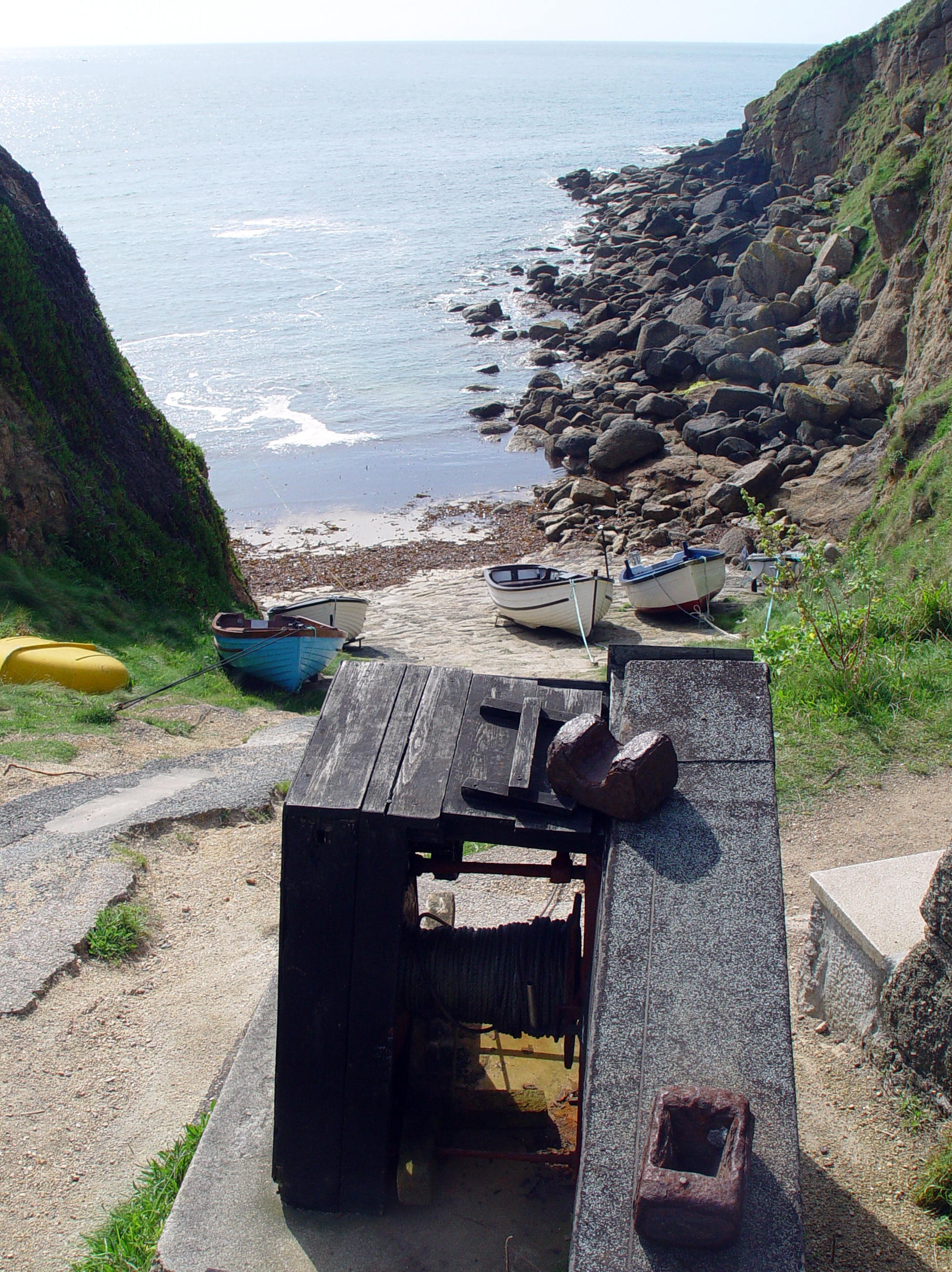
Hella Point is a prominent headland located in Cornwall, England. Situated along the rugged coastline, this coastal feature offers breathtaking views of the Atlantic Ocean. With its dramatic cliffs and rocky outcrops, Hella Point is a popular destination for nature enthusiasts and hikers.

The headland's unique geological formation is a result of millions of years of erosion by the powerful waves and tides of the Atlantic. Its sheer cliffs, reaching heights of up to 150 feet, provide a nesting habitat for seabirds such as fulmars, kittiwakes, and guillemots. Birdwatchers often flock to Hella Point to observe these magnificent creatures in their natural habitat.

Hella Point is also known for its picturesque coastal walks and hiking trails. The South West Coast Path, one of the UK's most famous long-distance trails, passes through this headland. Visitors can explore the rugged coastline, encountering hidden coves and secluded beaches along the way.

With its exposed location, Hella Point is subject to the full force of the Atlantic weather, making it an ideal spot for adrenaline-seeking surfers and windsurfers. The strong waves and prevailing winds provide excellent conditions for these water sports.

For those who prefer a more relaxed visit, Hella Point offers stunning panoramic views of the surrounding coastline. The headland's strategic position allows visitors to witness breathtaking sunsets, where the golden hues of the sun meet the vastness of the ocean.

In summary, Hella Point in Cornwall is a captivating headland that showcases the raw beauty of the Atlantic coastline. From its dramatic cliffs and diverse wildlife to its thrilling outdoor activities and awe-inspiring views, Hella Point offers an unforgettable experience for all who visit.

If you have any feedback on the listing, please let us know in the comments section below.
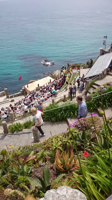
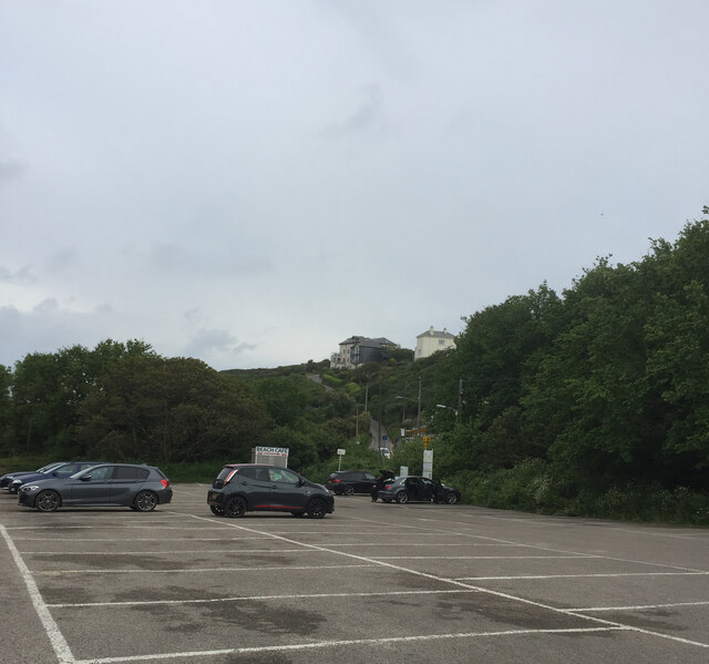
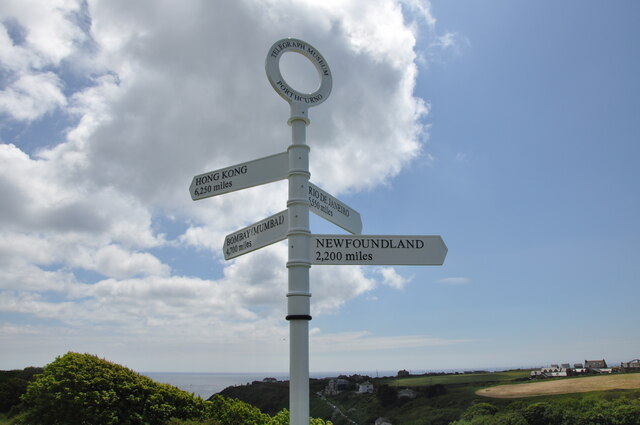
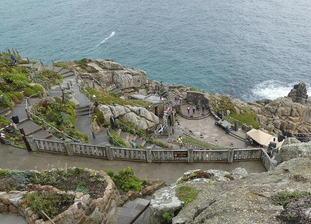
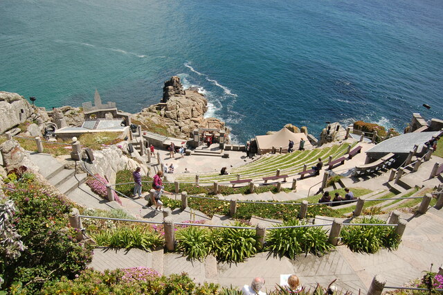
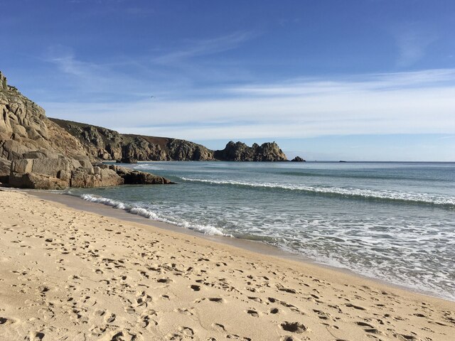
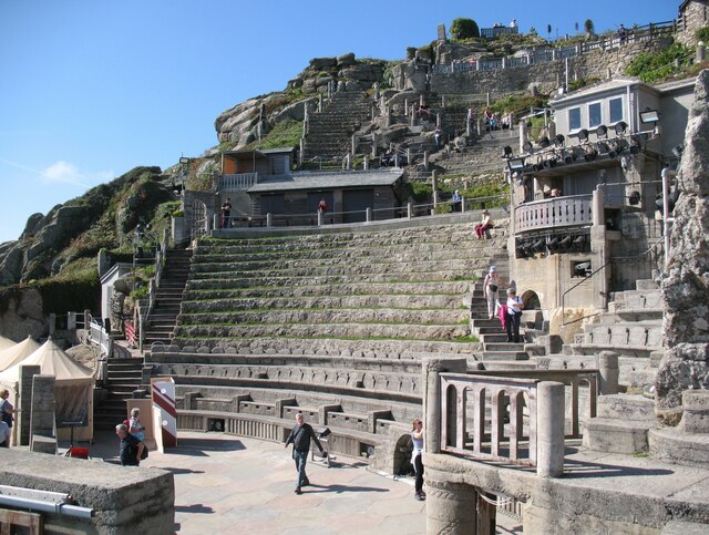
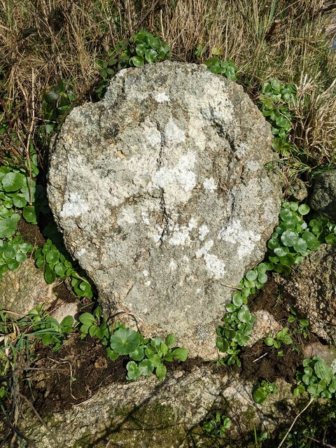
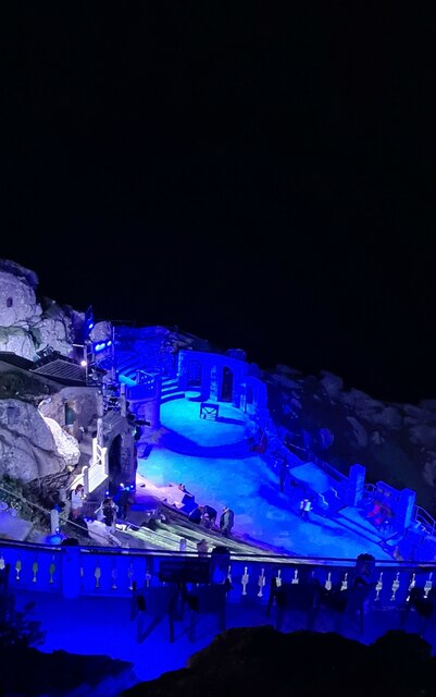
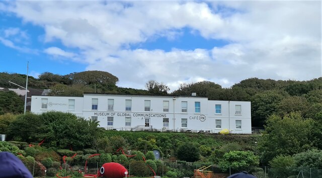
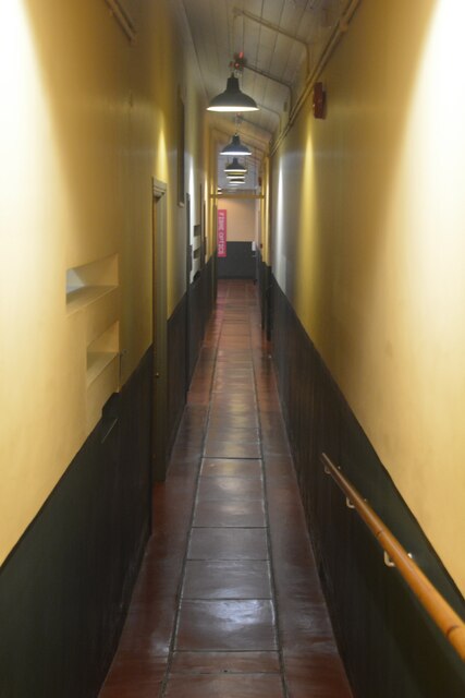
Hella Point Images

Images are sourced within 2km of 50.034619/-5.6729959 or Grid Reference SW3721. Thanks to Geograph Open Source API. All images are credited.

The Minack Theatre The Minack Theatre, filling up before a performance.
The Minack Theatre
The Minack Theatre, filling up before a performance.
Porthcurno car park
Porthcurno car park
Signpost above the Telegraph Museum This post is on the top of the cliff above Porthcurno where the exit from the Telegraph Museum emerges.
Signpost above the Telegraph Museum
This post is on the top of the cliff above Porthcurno where the exit from the Telegraph Museum emerges.
Minack Theatre - Looking down to the stage Taken from high up, above the top row of seating at the Minack Theatre.
The four performers on the stage were rehearsing for the 'Last Night of the Proms'.
Minack Theatre - Looking down to the stage
Taken from high up, above the top row of seating at the Minack Theatre. The four performers on the stage were rehearsing for the 'Last Night of the Proms'.
Minack Open Air Theatre A view of the steeply descending amphitheatre at Minack Open Air Theatre.
Minack Open Air Theatre
A view of the steeply descending amphitheatre at Minack Open Air Theatre.
Beach at Porth Curno near Percella Point Looking towards Percella Point from the beach at Porth Curno.
Beach at Porth Curno near Percella Point
Looking towards Percella Point from the beach at Porth Curno.
Minack Theatre With the potential to be the most uncomfortable theatre in the country for those who come unprepared for what the Atlantic weather can throw across the stage; the spectacular location of the Minack Theatre set on granite cliffs overlooking Porthcurno bay guarantees it as a top tourist attraction.  Here we see the theatre on a benign September day with a handful of tourists enjoying a leisurely look around this unique venue.
Minack Theatre
With the potential to be the most uncomfortable theatre in the country for those who come unprepared for what the Atlantic weather can throw across the stage; the spectacular location of the Minack Theatre set on granite cliffs overlooking Porthcurno bay guarantees it as a top tourist attraction. Here we see the theatre on a benign September day with a handful of tourists enjoying a leisurely look around this unique venue.
Inside Porthcurno Cable Hut Porthcurno Cable Hut is where telegraph cables from all over the world terminated to be routed to UK destinations.  Equipment in this hut enabled engineers to test the various cable circuits before they were routed to the Cable Station on the cliff behind.
Inside Porthcurno Cable Hut
Porthcurno Cable Hut is where telegraph cables from all over the world terminated to be routed to UK destinations. Equipment in this hut enabled engineers to test the various cable circuits before they were routed to the Cable Station on the cliff behind.
Porthcurno beach facing south west
Old Wayside Cross towards Ardensawah in St Levan parish Ardensawah or Ardensaweth Cross, the old head and neck of a wayside cross. Set beside a stone stile on a footpath northwest of St Levan church in St Levan parish. Grade II Listed <span class="nowrap"><a title="https://historicengland.org.uk/listing/the-list/list-entry/1146492" rel="nofollow ugc noopener" href="https://historicengland.org.uk/listing/the-list/list-entry/1146492">Link</a><img style="margin-left:2px;" alt="External link" title="External link - shift click to open in new window" src="https://s1.geograph.org.uk/img/external.png" width="10" height="10"/></span>. See also <span class="nowrap"><a title="http://www.flickr.com/photos/ocifant/412959521" rel="nofollow ugc noopener" href="http://www.flickr.com/photos/ocifant/412959521">Link</a><img style="margin-left:2px;" alt="External link" title="External link - shift click to open in new window" src="https://s1.geograph.org.uk/img/external.png" width="10" height="10"/></span>.

Milestone Society National ID: CWPW_SLE01
Old Wayside Cross towards Ardensawah in St Levan parish
Ardensawah or Ardensaweth Cross, the old head and neck of a wayside cross. Set beside a stone stile on a footpath northwest of St Levan church in St Levan parish. Grade II Listed LinkExternal link. See also LinkExternal link. Milestone Society National ID: CWPW_SLE01
Looking down on the stage at the Minack Theatre at the end of the show
Museum of Global Communications, Porthcurno
Porthcurno : WWII Cable Station An underground WWII cable station with a narrow thoroughfare.
Porthcurno : WWII Cable Station
An underground WWII cable station with a narrow thoroughfare.
Porthcurno : PK Porthcurno - WWII Cable Station A WWII bomb dropped nearby by the Luftwaffe and now on display at the museum, as well as a map showing other locations involved in the war.
Porthcurno : PK Porthcurno - WWII Cable Station
A WWII bomb dropped nearby by the Luftwaffe and now on display at the museum, as well as a map showing other locations involved in the war.
Porthcurno : PK Porthcurno - WWII Cable Station Looking across the WWII cable station which is now a museum.
Porthcurno : PK Porthcurno - WWII Cable Station
Looking across the WWII cable station which is now a museum.
Porthcurno : PK Porthcurno One of the displays in the museum.
Porthcurno : PK Porthcurno
One of the displays in the museum.
Porthcurno : PK Porthcurno - Telegraph Museum Looking across displays at the PK Porthcurno museum.
Porthcurno : PK Porthcurno - Telegraph Museum
Looking across displays at the PK Porthcurno museum.
Porthcurno : PK Porthcurno The Museum of Global Communications seen here.
Porthcurno : PK Porthcurno
The Museum of Global Communications seen here.
Show me another place!

Hella Point is located at Grid Ref: SW3721 (Lat: 50.034619, Lng: -5.6729959)

Unitary Authority: Cornwall

Police Authority: Devon and Cornwall

What 3 Words

///brimmed.tamed.assess. Near Sennen, Cornwall

Related Wikis

Porthgwarra

Porthgwarra (Cornish: Porth Gorwedhow, meaning very wooded cove) is a small coastal village in the civil parish of St Levan, Cornwall, England, United...

Runnel Stone

The Runnel Stone (Cornish: Men Reunel, meaning stone abounding in seals), or Rundle Stone, is a hazardous rock pinnacle about 1-mile (1.6 km) south of...

Gwennap Head

Gwennap Head (Cornish: Toll Pedn Pennwydh, meaning holed head of Penwith; grid reference SW3621) is a headland on the south coast of the Penwith peninsula...

St Levan

St Levan (Cornish: Selevan) is a civil parish in Cornwall, England, United Kingdom. The parish is rural with a number of hamlets of varying size with Porthcurno...

Nearby Amenities

Located within 500m of 50.034619,-5.6729959
Source: PGS
Lat/Long: 50.0358484/-5.6792792
Source: PGS
Lat/Long: 50.0353542/-5.6780643
Source: PGS
Lat/Long: 50.0350562/-5.6775831
Source: PGS
Lat/Long: 50.0351025/-5.6773808
Source: PGS
Lat/Long: 50.0353042/-5.6759421
Source: PGS
Lat/Long: 50.0353236/-5.6758439
Source: PGS
Lat/Long: 50.035406/-5.6757927
Created By: almien_coastlines
Source: PGS
Lat/Long: 50.036452/-5.670313
Source: PGS
Lat/Long: 50.0363325/-5.6697436
Created By: almien_coastlines
Source: PGS
Lat/Long: 50.036604/-5.669327
Created By: almien_coastlines
Source: PGS
Lat/Long: 50.037116/-5.669355
Created By: almien_coastlines
Source: PGS
Lat/Long: 50.037248/-5.669163
Created By: almien_coastlines
Source: PGS
Lat/Long: 50.037257/-5.668765
Created By: almien_coastlines
Source: PGS
Lat/Long: 50.037266/-5.668367
Created By: almien_coastlines
Source: PGS
Lat/Long: 50.037275/-5.66797
Barrier: kissing_gate
Foot: yes
Lat/Long: 50.0367274/-5.6727621
Tol-Pedn-Penwith (Gwennap Head)
Is In: Cornwall, England, UK
Place: locality
Source: OS 1:25k
Wikidata: Q5623531
Wikipedia: en:Gwennap Head
Lat/Long: 50.0353282/-5.678635
Hella Point
Is In: Cornwall, England, UK
Place: locality
Source: OS 1:25k
Lat/Long: 50.0349698/-5.6725839
Carn Scathe
Is In: Cornwall, England, UK
Place: locality
Source: OS 1:25k
Lat/Long: 50.0367346/-5.6699177
Porthgwarra
Name Kw: Porthgorwydhow
Name Uk: Портґварра
Place: hamlet
Wikidata: Q976958
Wikipedia: en:Porthgwarra
Lat/Long: 50.0377508/-5.6722109
Heritage: yes
Historic: memorial
Man Made: beacon
Memorial: plaque
Note: Navigational beacon. White/black tower.
Openplaques Id: 53973
Seamark Daymark Colour: black;white
Seamark Daymark Colour Pattern: horizontal
Seamark Daymark Shape: cone, point up
Seamark Topmark Colour: black
Seamark Topmark Shape: cone, point up
Seamark Type: daymark
Wikidata: Q26612898
Lat/Long: 50.037365/-5.6767767
Leisure: slipway
Lat/Long: 50.0373643/-5.6724011
Booth: K6
Disused Amenity: telephone
Man Made: telephone_box
Lat/Long: 50.0378498/-5.6723175
Post Box
Collection Times: Mo-Sa 10:45
Post Box Type: lamp
Ref: TR19 90
Royal Cypher: EIIR
Royal Cypher Wikidata: Q33102113
Lat/Long: 50.0378339/-5.6723045
Natural: cave_entrance
Lat/Long: 50.0373402/-5.6721668
Natural: cave_entrance
Lat/Long: 50.0374774/-5.6720634
Pol Ledan
Place: locality
Wikimedia Commons: File:Carn Scathe and Pol Ledan - geograph.org.uk - 1404190.jpg
Lat/Long: 50.0374448/-5.6691193
Man Made: beacon
Note: Navigational beacon. Red cone.
Seamark Daymark Colour: red
Seamark Daymark Shape: cone, point up
Seamark Type: daymark
Lat/Long: 50.0367683/-5.6766322
Bench
Backrest: no
Survey Date: 2022-06-13
Lat/Long: 50.0375184/-5.6719673
Bench
Survey Date: 2022-06-13
Lat/Long: 50.0375312/-5.6725093
Fire Hydrant
Emergency: fire_hydrant
Fire Hydrant Type: underground
Survey Date: 2022-06-13
Lat/Long: 50.0377401/-5.6723609
Bench
Survey Date: 2022-06-13
Lat/Long: 50.0376309/-5.6724795
Life Ring
Emergency: life_ring
Survey Date: 2022-06-13
Lat/Long: 50.0375641/-5.6724853
Vending Machine
Currency GBP: yes
Operator: Initial Parking
Payment Cash: yes
Payment Coins: yes
Payment Mastercard: yes
Payment Visa: yes
Vending: parking_tickets
Lat/Long: 50.0378965/-5.6726849
The data included in this document is from www.openstreetmap.org. The data is made available under ODbL.

Have you been to Hella Point?

Leave your review of Hella Point below (or comments, questions and feedback).