Creag nam Fear

Coastal Feature, Headland, Point in Ross-shire

Scotland

Creag nam Fear

Bridge on the Hebridean Way Geocaching is a type of global treasure hunt of people looking for caches, or hidden stashes of objects. Geocaching may also be described as a series of hide-and-seek games, where hiders provide online clues for seekers. Seekers use global positioning system (GPS) devices to find hidden caches
Bridge on the Hebridean Way Credit: Ralph Greig

Creag nam Fear is a prominent coastal feature located in Ross-shire, Scotland. It is a headland or point that extends into the North Sea, providing stunning views of the surrounding landscape. The name "Creag nam Fear" translates to "Rock of the Men" in Gaelic, which aptly describes the rugged and rocky nature of the area.

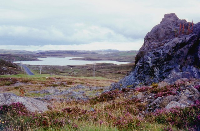
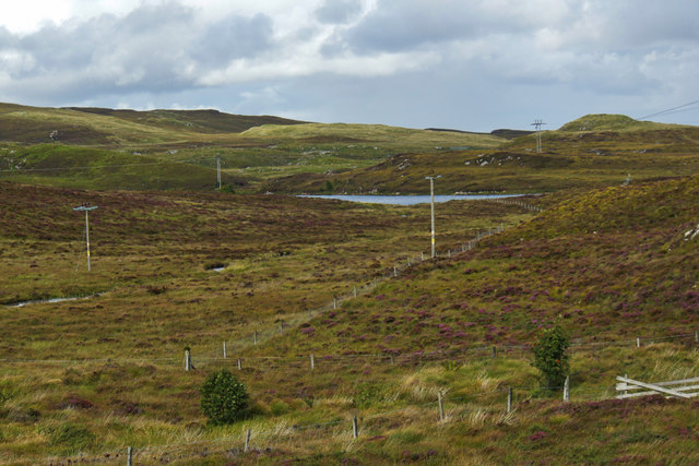
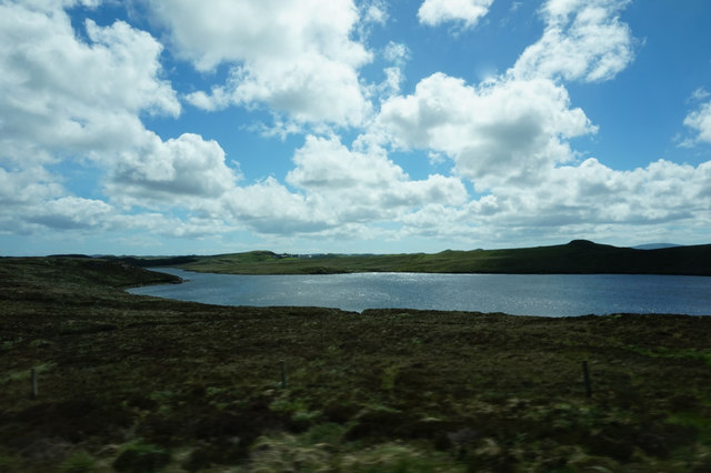
This headland is characterized by its sheer cliffs and jagged rocks, which have been carved by the relentless power of the sea over thousands of years. The cliffs reach impressive heights, offering a vantage point for visitors to observe the vast expanse of the ocean and the distant horizon. The rocky terrain is also home to a diverse range of seabirds, including gulls, puffins, and cormorants, making it a popular spot for birdwatching enthusiasts.

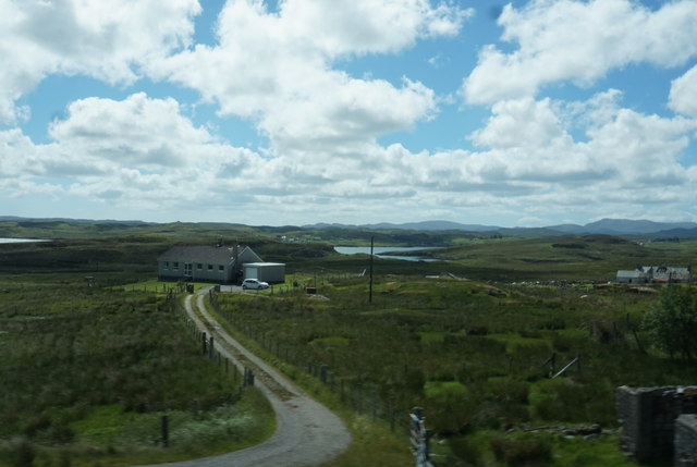
Creag nam Fear is accessible via a well-maintained footpath, which winds its way along the coastline, providing visitors with an opportunity to explore the natural beauty of the area. The headland also offers opportunities for rock climbing and bouldering, attracting adventurous individuals seeking an adrenaline rush.

In addition to its scenic beauty, Creag nam Fear has historical and cultural significance. The area is believed to have been inhabited by humans since ancient times, as evidenced by the presence of Neolithic and Bronze Age remains. It is also said to have played a role in local folklore and legend, further adding to its allure.

Overall, Creag nam Fear is a captivating coastal feature that combines natural beauty, wildlife, and cultural heritage. It is a must-visit destination for those seeking an immersive experience in the rugged and picturesque Scottish coastline.

If you have any feedback on the listing, please let us know in the comments section below.

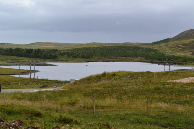
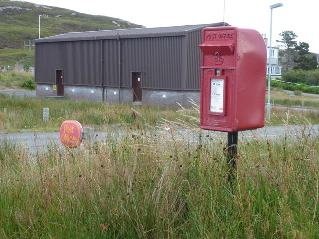
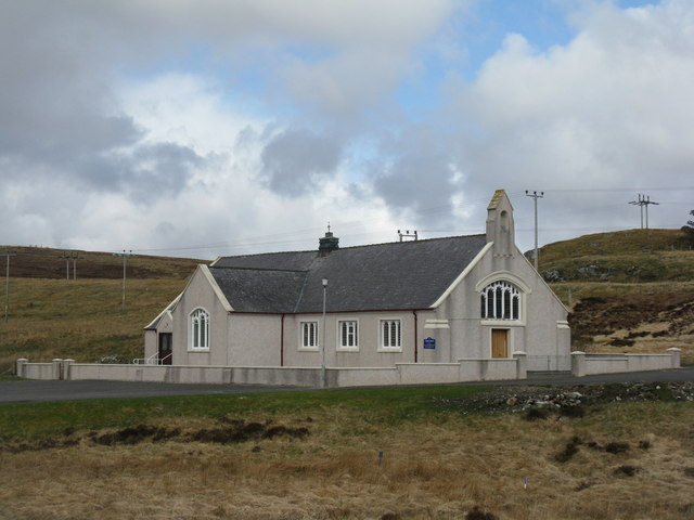
Creag nam Fear Images

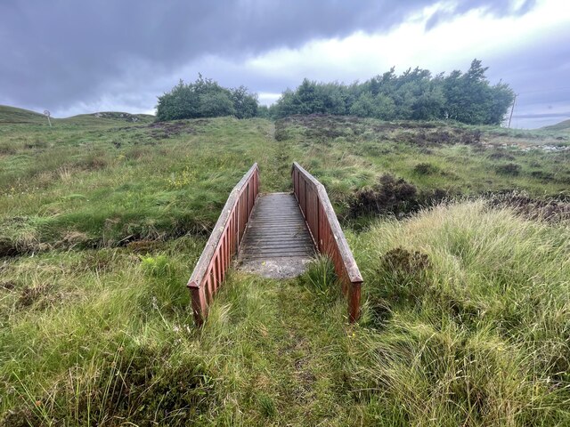
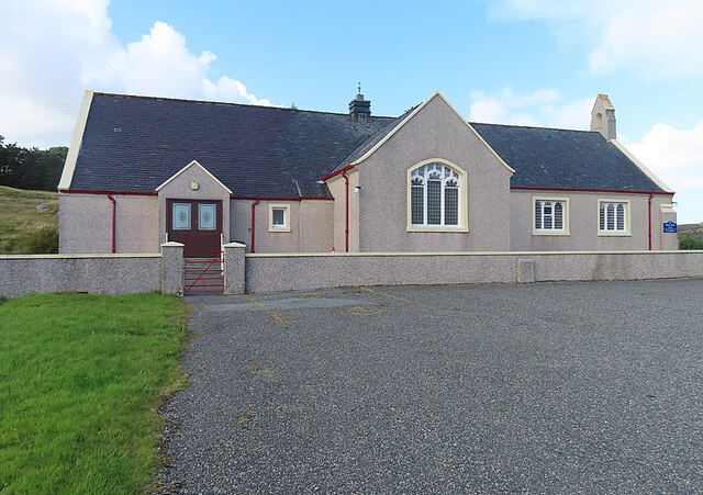
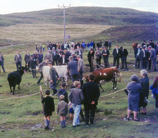
Images are sourced within 2km of 58.099077/-6.5385219 or Grid Reference NB3221. Thanks to Geograph Open Source API. All images are credited.
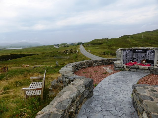
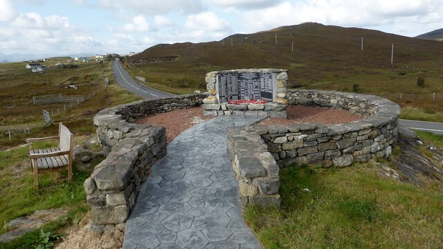
Bridge on the Hebridean Way Geocaching is a type of global treasure hunt of people looking for caches, or hidden stashes of objects. Geocaching may also be described as a series of hide-and-seek games, where hiders provide online clues for seekers. Seekers use global positioning system (GPS) devices to find hidden caches
Bridge on the Hebridean Way
Geocaching is a type of global treasure hunt of people looking for caches, or hidden stashes of objects. Geocaching may also be described as a series of hide-and-seek games, where hiders provide online clues for seekers. Seekers use global positioning system (GPS) devices to find hidden caches
Kinloch Parish Kirk Belonging to the Church of Scotland.
Kinloch Parish Kirk
Belonging to the Church of Scotland.
Kinloch War Memorial 'In memory of all those from Kinloch who fought and died for Freedom'
A list of 54 men and women, aged from 15 - 46, who were lost in the Boer War [2], WW1 [41] and ww2 [11], and the crofts they came from. 
The hill beyond is Nabhar.
Kinloch War Memorial
'In memory of all those from Kinloch who fought and died for Freedom' A list of 54 men and women, aged from 15 - 46, who were lost in the Boer War [2], WW1 [41] and ww2 [11], and the crofts they came from. The hill beyond is Nabhar.
Balallan/Laxay Agricultural Show
A859 skirting Loch Bhaltois
Loch Nabhar
Loch Nabhar
Loch Bhaltois, taken from the A859
Laxay / Lacasaigh from the A859
Kinloch War Memorial, beside the A859
Kinloch War Memorial Further details are available on Canmore. <span class="nowrap"><a title="https://canmore.org.uk/site/318753/lewis-lacasaidh-kinloch-war-memorial" rel="nofollow ugc noopener" href="https://canmore.org.uk/site/318753/lewis-lacasaidh-kinloch-war-memorial">Link</a><img style="margin-left:2px;" alt="External link" title="External link - shift click to open in new window" src="https://s1.geograph.org.uk/img/external.png" width="10" height="10"/></span>
Kinloch War Memorial
Further details are available on Canmore. LinkExternal link
Lousewort (Pedicularis sylvatica) A common plant of wet, boggy places, Lousewort thrives in the acid peat of Leòdhas.
Lousewort (Pedicularis sylvatica)
A common plant of wet, boggy places, Lousewort thrives in the acid peat of Leòdhas.
Fishing hut on Loch Bhaltois In the foreground is the Abhainn Lacasaidh as it flows into the loch
Fishing hut on Loch Bhaltois
In the foreground is the Abhainn Lacasaidh as it flows into the loch
Lacasaidh Lacasaidh with Loch Èireasort behind
Lacasaidh
Lacasaidh with Loch Èireasort behind
View over lane near Lacasaidh
Loch Ulapuil
Loch Ulapuil
Laxay: postbox № HS2 50 This postbox stands at the end of the driveway to the village's post office, which opens for a few hours on Mondays and Tuesdays. The box is emptied at 11:30 on weekday and Saturday mornings.
Laxay: postbox № HS2 50
This postbox stands at the end of the driveway to the village's post office, which opens for a few hours on Mondays and Tuesdays. The box is emptied at 11:30 on weekday and Saturday mornings.
Church at Kinloch Near Lacasaidh on the A859.
Church at Kinloch
Near Lacasaidh on the A859.
Burn from Loch Ulapuil Flowing towards Abhainn Lacasaidh just before it enters the sea at Loch Èireasort.
Burn from Loch Ulapuil
Flowing towards Abhainn Lacasaidh just before it enters the sea at Loch Èireasort.
Show me another place!

Creag nam Fear is located at Grid Ref: NB3221 (Lat: 58.099077, Lng: -6.5385219)

Unitary Authority: Na h-Eileanan an Iar

Police Authority: Highlands and Islands

What 3 Words

///with.habits.panoramic. Near Leurbost, Na h-Eileanan Siar

Related Wikis

Loch Erisort

Loch Erisort (Scottish Gaelic: Èireasort) is an 8-mile-long narrow sea inlet on the east coast of the Isle of Lewis in the Outer Hebrides off the west...

Cabharstadh

Cabharstadh or Caversta (Scottish Gaelic: Cabharstaigh) is a village on the Isle of Lewis in the Outer Hebrides, Scotland. Caversta is situated in the...

Balallan

Balallan (Scottish Gaelic: Baile Ailein, Bail' Ailein), meaning "Allan's Town", is a crofting township on the Isle of Lewis, in the Outer Hebrides, Scotland...

Eilean Chaluim Chille

Eilean Chaluim Chille (Gaelic: island of Saint Columba, Calum Cille) is an unpopulated island in the Outer Hebrides. It lies off the east coast of Lewis...

Leurbost

Leurbost (Scottish Gaelic: Liùrbost) is a village on the east coast of the Isle of Lewis in the Outer Hebrides of Scotland. It is approximately 6 miles...

Crossbost

Crossbost is a village on the Isle of Lewis in the parish of North Lochs, in the Outer Hebrides, Scotland. It is located approximately ten miles away...

North Lochs

North Lochs, (Scottish Gaelic: Ceann a Tuath nan Loch), an area in eastern Lewis, Outer Hebrides, Scotland, is named for the many lochans (small lochs...

Cromore

Cromore (Scottish Gaelic: Crò Mòr) is a crofting township on the Isle of Lewis in the district of Pairc, in the Outer Hebrides, Scotland. The settlement...

Nearby Amenities

Located within 500m of 58.099077,-6.5385219
Barrier: cattle_grid
Lat/Long: 58.1032196/-6.5388691
Barrier: cattle_grid
Lat/Long: 58.1000838/-6.5340371
Turning Circle
Turning Circle: knuckle
Lat/Long: 58.1013927/-6.5320419
Power: pole
Lat/Long: 58.0979344/-6.5456748
Power: pole
Lat/Long: 58.0983657/-6.5447898
Power: pole
Lat/Long: 58.0987411/-6.5439897
Power: pole
Lat/Long: 58.0992211/-6.5430003
Power: pole
Lat/Long: 58.0996459/-6.5420207
Power: pole
Lat/Long: 58.1000993/-6.541137
Power: pole
Lat/Long: 58.1004784/-6.5402181
Power: pole
Lat/Long: 58.1009663/-6.5391944
Power: pole
Lat/Long: 58.1013264/-6.5384514
Power: pole
Lat/Long: 58.1017477/-6.5375368
Power: pole
Lat/Long: 58.102243/-6.5364974
Power: pole
Lat/Long: 58.1028432/-6.5351973
Power: pole
Lat/Long: 58.1029226/-6.5361815
Power: pole
Lat/Long: 58.1029801/-6.537049
Power: pole
Lat/Long: 58.1030256/-6.5378231
Power: pole
Lat/Long: 58.1030834/-6.5387414
Power: pole
Lat/Long: 58.1003486/-6.5340031
Power: pole
Lat/Long: 58.1009258/-6.5343631
Power: pole
Lat/Long: 58.101357/-6.5346256
Power: pole
Lat/Long: 58.1013271/-6.5337146
Power: pole
Lat/Long: 58.1012917/-6.5324964
Power: pole
Lat/Long: 58.1012726/-6.5319669
Power: pole
Lat/Long: 58.1000242/-6.5383789
Power: pole
Lat/Long: 58.1003477/-6.5374727
Power: pole
Lat/Long: 58.1006525/-6.5366046
Power: pole
Lat/Long: 58.1010249/-6.5355768
Power: pole
Lat/Long: 58.1019711/-6.5347359
Power: pole
Lat/Long: 58.1014336/-6.5329018
Power: pole
Lat/Long: 58.1018874/-6.5327819
Barrier: cattle_grid
Lat/Long: 58.1028897/-6.5425328
Barrier: cattle_grid
Lat/Long: 58.1026343/-6.5334438
Barrier: cattle_grid
Lat/Long: 58.1014366/-6.533275
Power: pole
Lat/Long: 58.1018664/-6.5408133
Power: pole
Lat/Long: 58.1022866/-6.5415523
The data included in this document is from www.openstreetmap.org. The data is made available under ODbL.

Have you been to Creag nam Fear?

Leave your review of Creag nam Fear below (or comments, questions and feedback).