Leac an t-Siùcair
Coastal Feature, Headland, Point in Argyllshire
Scotland
Leac an t-Siùcair
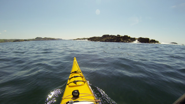
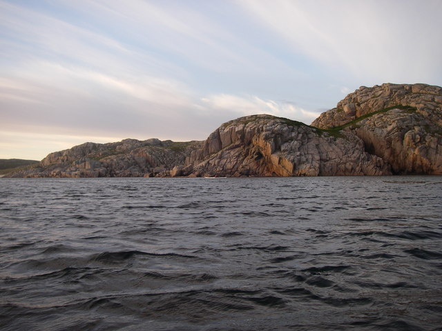
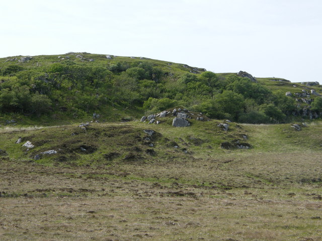
Leac an t-Siùcair is a prominent coastal feature located in Argyllshire, Scotland. This headland is situated on the west coast of the country, overlooking the Atlantic Ocean. The name "Leac an t-Siùcair" translates from Scottish Gaelic to English as "The Sugar Rock."
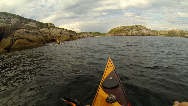
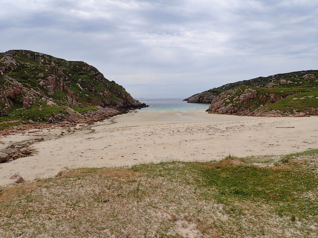
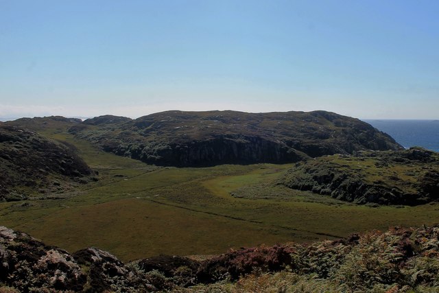
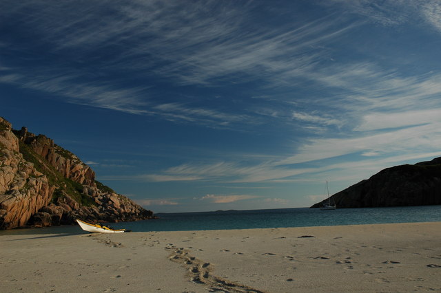
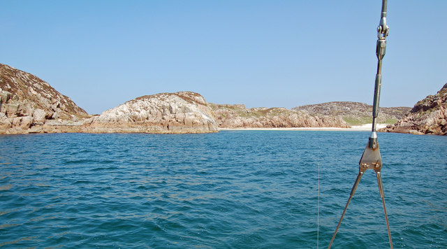
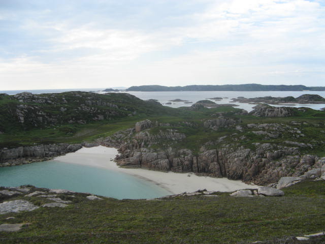
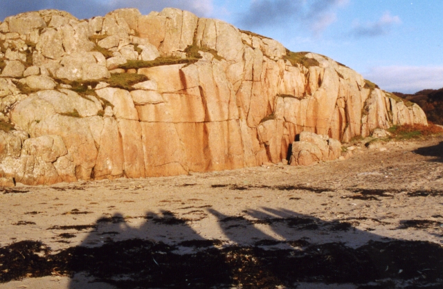
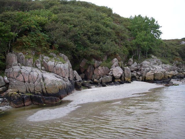
The headland is characterized by its rugged and rocky terrain, with cliffs rising sharply from the sea below. These cliffs, formed by years of erosion from the crashing waves, provide a stunning backdrop to the surrounding landscape. The rocks themselves exhibit a variety of colors, ranging from dark gray to reddish hues, creating a visually striking scene.
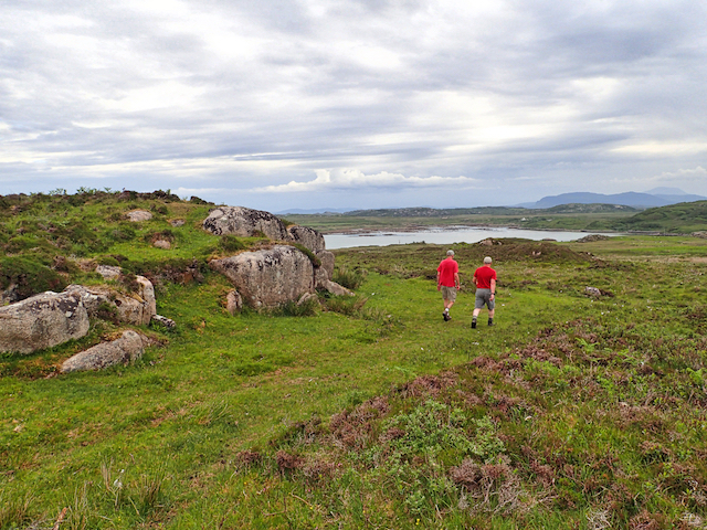
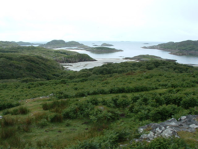
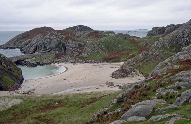
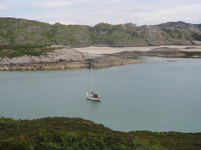
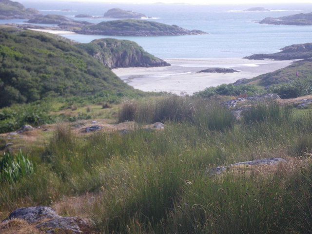
Leac an t-Siùcair is a popular spot for outdoor enthusiasts and nature lovers due to its breathtaking views and diverse wildlife. The headland offers excellent vantage points for observing marine life such as seals, dolphins, and various bird species that inhabit the area. It is also a haven for hikers and photographers, who can explore the coastal paths and capture the beauty of the landscape.
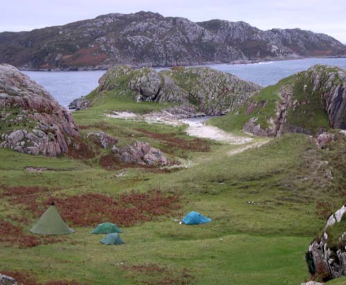
Access to Leac an t-Siùcair can be gained via a well-maintained footpath that winds its way along the coastline. The area is not heavily developed, allowing visitors to experience a sense of tranquility and seclusion. However, it is important for visitors to exercise caution as the cliffs can be hazardous, particularly during inclement weather.
Overall, Leac an t-Siùcair is a remarkable coastal feature that showcases the rugged beauty of the Scottish landscape. Its striking cliffs, diverse wildlife, and panoramic views make it a must-visit destination for those exploring the Argyllshire region.
If you have any feedback on the listing, please let us know in the comments section below.
Leac an t-Siùcair Images
Images are sourced within 2km of 56.282432/-6.3492042 or Grid Reference NM3018. Thanks to Geograph Open Source API. All images are credited.
Leac an t-Siùcair is located at Grid Ref: NM3018 (Lat: 56.282432, Lng: -6.3492042)
Unitary Authority: Argyll and Bute
Police Authority: Argyll and West Dunbartonshire
What 3 Words
///outwards.shaped.mascot. Near Fionnphort, Argyll & Bute
Nearby Locations
Related Wikis

Erraid
Erraid (Scottish Gaelic: Eilean Earraid) is a tidal island approximately one mile (two kilometres) square located in the Inner Hebrides of Scotland. It...

Aridhglas
Aridhglas is a village on the Ross of Mull, Isle of Mull in Argyll and Bute, Scotland. == References ==

Ross of Mull
The Ross of Mull (Scottish Gaelic: An Ros Mhuileach) is the largest peninsula of the Isle of Mull, about 28 kilometres (17 mi) long, and makes up the south...

Fionnphort
Fionnphort (English: , Scottish Gaelic: [ˈfjun̪ˠafɔrˠt̪]) is the principal port of the Ross of Mull, and the second largest settlement in the area (its...

Sound of Iona
The Sound of Iona is a sound between the Inner Hebridean islands of Mull and Iona in western Scotland. It forms part of the Atlantic Ocean. The tidal...

Knocknafenaig
Knocknafenaig (Scottish Gaelic: Cnoc na Fennaig) is a ruined township on the Isle of Mull, Scotland. Located in the south-western portion of the island...

Bishop's House, Iona
Bishop's House is a retreat house for the Scottish Episcopal Church, located on the island of Iona, off the west coast of Scotland. == History == It was...

Ardalanish
Ardalanish (Scottish Gaelic: Àird Dealanais) is a village on the Isle of Mull in Argyll and Bute, Scotland. It is now an organic farm and weaving mill...
Nearby Amenities
Located within 500m of 56.282432,-6.3492042Have you been to Leac an t-Siùcair?
Leave your review of Leac an t-Siùcair below (or comments, questions and feedback).