Slochd na da Bhairnich

Coastal Feature, Headland, Point in Argyllshire

Scotland

Slochd na da Bhairnich

Rainbow above Fionnphort From the A849.
Rainbow above Fionnphort Credit: Andrew Abbott

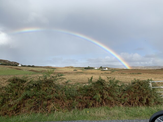
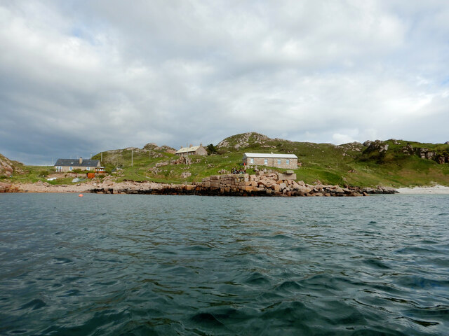
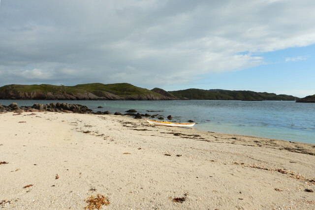
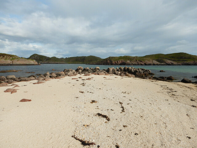
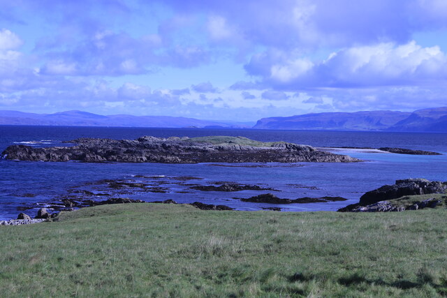
Slochd na da Bhairnich, located in Argyllshire, Scotland, is a prominent coastal feature known for its stunning headland and point. Situated along the western coast of Scotland, this area offers breathtaking views of the surrounding landscape and the vast expanse of the Atlantic Ocean.

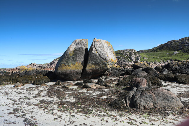
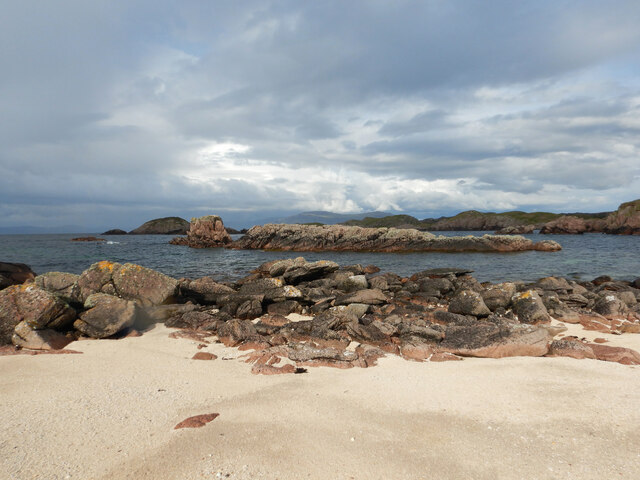
The headland at Slochd na da Bhairnich is characterized by its rugged and rocky terrain, carved out by years of erosion from the crashing waves. The cliffs that line the coast showcase a variety of geological formations, including layers of sedimentary rock and exposed bedrock, offering a glimpse into the area's geological history.

The point at Slochd na da Bhairnich juts out into the ocean, providing a vantage point for visitors to observe the powerful forces of nature at work. The crashing waves against the rocks create a mesmerizing display of spray and foam, adding to the dramatic beauty of the area.

The coastal feature is also home to a diverse range of flora and fauna. Seabirds can often be spotted nesting on the cliffs, while seals and other marine mammals can be seen swimming in the surrounding waters. The nearby coastal vegetation adds a splash of color to the landscape, with wildflowers and grasses creating a vibrant contrast against the rocky backdrop.

Slochd na da Bhairnich is a popular destination for nature enthusiasts, photographers, and those seeking a peaceful retreat. Its raw beauty and untouched natural surroundings make it a must-visit location for anyone exploring the Argyllshire coastline.

If you have any feedback on the listing, please let us know in the comments section below.

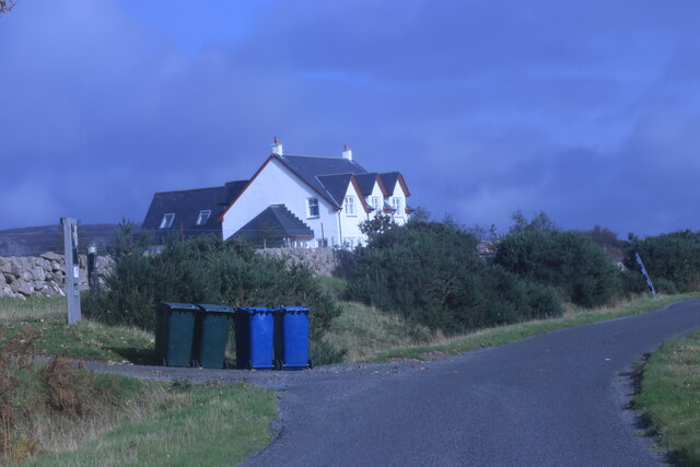
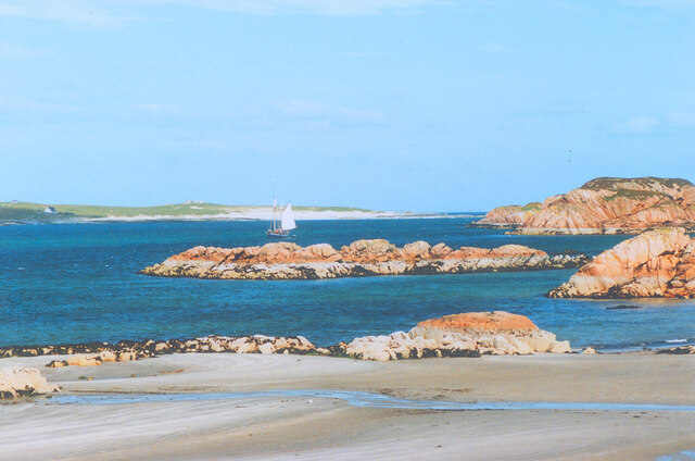
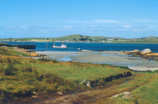
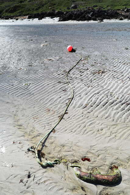
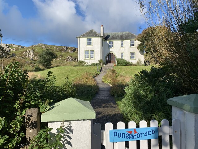
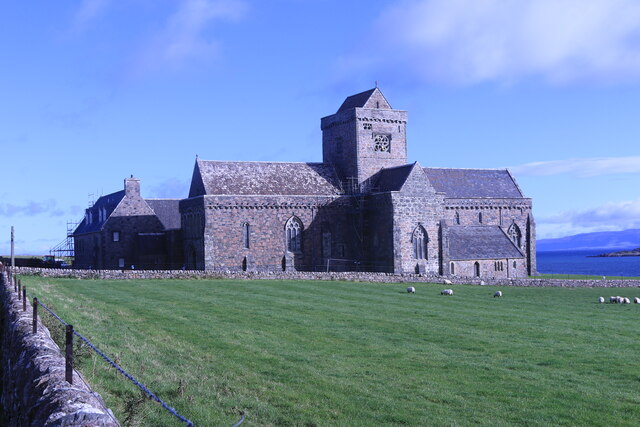
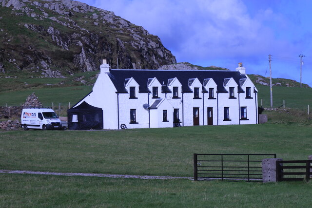
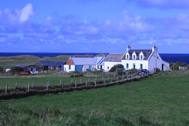
Slochd na da Bhairnich Images

Images are sourced within 2km of 56.338372/-6.3636097 or Grid Reference NM3024. Thanks to Geograph Open Source API. All images are credited.

Rainbow above Fionnphort From the A849.
Rainbow above Fionnphort
From the A849.
Taigh Geal House near Fionnphort.
Taigh Geal
House near Fionnphort.
The Beach at Fionnphort
Fionnphort Beach and Iona A view across the Sound of Iona.
Fionnphort Beach and Iona
A view across the Sound of Iona.
Split boulder at Fionnphort A distinctive feature of the shore at Fionnphort, this huge split boulder of Ross of Mull Granite can only be approached dryshod at the bottom of a spring tide when an easy walk across the soft sand gives close up views from any angle of choice. The split is most obvious with the sky behind, looking north (its clear from the other side, too, of course, but then the rock is in shade and not so attractive to photograph). This rock must have been dropped here by ice - it's definitely a boulder, not bedrock. In some parts of the world, not too far away, the explanation would undoubtedly be that it had been lobbed by an angry Troll and had split on hitting some warrior's helmet.
Split boulder at Fionnphort
A distinctive feature of the shore at Fionnphort, this huge split boulder of Ross of Mull Granite can only be approached dryshod at the bottom of a spring tide when an easy walk across the soft sand gives close up views from any angle of choice. The split is most obvious with the sky behind, looking north (its clear from the other side, too, of course, but then the rock is in shade and not so attractive to photograph). This rock must have been dropped here by ice - it's definitely a boulder, not bedrock. In some parts of the world, not too far away, the explanation would undoubtedly be that it had been lobbed by an angry Troll and had split on hitting some warrior's helmet.
Mooring on Fionnphort beach I usually encounter mooring buoys by paddling past them in a sea kayak, but this one is at the bottom of a spring tide and entirely stranded, so the huge chain link to which it is attached can be inspected.
Mooring on Fionnphort beach
I usually encounter mooring buoys by paddling past them in a sea kayak, but this one is at the bottom of a spring tide and entirely stranded, so the huge chain link to which it is attached can be inspected.
Tòrr Mòr quarry pier from Bull Hole Bull Hole is a sheltered channel between Eilean nam Ban and the Ross of Mull, which forms a convenient anchorage for any vessel with a shallow enough draft. This includes the Iona ferry, which beds down tied to the island each night. The pier and buildings here are associated with the granite quarry at Tòrr Mòr and the jetty would have provided a secure place to tie up boats exporting the product elsewhere, out of the swiftly flowing tide in the Hole itself. It's looking a bit decrepit now, however, and what boats are here are pulled up safely on the grass above the beach.
Tòrr Mòr quarry pier from Bull Hole
Bull Hole is a sheltered channel between Eilean nam Ban and the Ross of Mull, which forms a convenient anchorage for any vessel with a shallow enough draft. This includes the Iona ferry, which beds down tied to the island each night. The pier and buildings here are associated with the granite quarry at Tòrr Mòr and the jetty would have provided a secure place to tie up boats exporting the product elsewhere, out of the swiftly flowing tide in the Hole itself. It's looking a bit decrepit now, however, and what boats are here are pulled up safely on the grass above the beach.
Eilean Dubh na Ciste Eilean Dubh na Ciste is a rocky skerry at the NNE end of Bull Hole, a narrow channel and anchorage between Iona and the Ross of Mull. Its advantage from my perspective is that the two main rocks are linked by a small sandy tombolo beach which provides a convenient place to land a sea kayak and wander around getting the best views. This view looks northwards to more skerries outside Kinta harbour, where the water is a lot calmer than on my last visit <a href="https://www.geograph.org.uk/photo/5796448">NM3125 : Paddling into the sun - Eilean Corrach</a>.
Eilean Dubh na Ciste
Eilean Dubh na Ciste is a rocky skerry at the NNE end of Bull Hole, a narrow channel and anchorage between Iona and the Ross of Mull. Its advantage from my perspective is that the two main rocks are linked by a small sandy tombolo beach which provides a convenient place to land a sea kayak and wander around getting the best views. This view looks northwards to more skerries outside Kinta harbour, where the water is a lot calmer than on my last visit NM3125 : Paddling into the sun - Eilean Corrach.
Landing on Eilean Dubh na Ciste Eilean Dubh na Ciste is a rocky skerry at the NNE end of Bull Hole, a narrow channel and anchorage between Iona and the Ross of Mull. Its advantage from my perspective is that the two main rocks are linked by a small sandy tombolo beach which provides a convenient place to land a sea kayak and wander around getting the best views. This is the full extent of the beach - my back is almost against the rocks looking over my landing spot towards the bay south of Kintra.
Landing on Eilean Dubh na Ciste
Eilean Dubh na Ciste is a rocky skerry at the NNE end of Bull Hole, a narrow channel and anchorage between Iona and the Ross of Mull. Its advantage from my perspective is that the two main rocks are linked by a small sandy tombolo beach which provides a convenient place to land a sea kayak and wander around getting the best views. This is the full extent of the beach - my back is almost against the rocks looking over my landing spot towards the bay south of Kintra.
Sand on Eilean Dubh na Ciste Eilean Dubh na Ciste is a rocky skerry at the NNE end of Bull Hole, a narrow channel and anchorage between Iona and the Ross of Mull. Its advantage from my perspective is that the two main rocks are linked by a small sandy tombolo beach which provides a convenient place to land a sea kayak and wander around getting the best views. These are the rocks on the eastern edge of the beach, beyond which lie the shallow bays and rocky coast hiding the settlement of Kintra.
Sand on Eilean Dubh na Ciste
Eilean Dubh na Ciste is a rocky skerry at the NNE end of Bull Hole, a narrow channel and anchorage between Iona and the Ross of Mull. Its advantage from my perspective is that the two main rocks are linked by a small sandy tombolo beach which provides a convenient place to land a sea kayak and wander around getting the best views. These are the rocks on the eastern edge of the beach, beyond which lie the shallow bays and rocky coast hiding the settlement of Kintra.
A849 at Fionnphort
A849 at Fionnphort
Maclean's Cross, Iona Scheduled monument SM90173. 15th century stone cross.
Maclean's Cross, Iona
Scheduled monument SM90173. 15th century stone cross.
Dunsmeorach House Near Iona Abbey.
Dunsmeorach House
Near Iona Abbey.
St Mary's Abbey, Iona Category A listed. Listing reference LB12310.
Dating from the 13th century. Heavily restored in the first half of the 20th century.
St Mary's Abbey, Iona
Category A listed. Listing reference LB12310. Dating from the 13th century. Heavily restored in the first half of the 20th century.
Bishops Walk Row of houses on Iona.
Bishops Walk
Row of houses on Iona.
Lagandorain House The most northerly property on Iona.
Lagandorain House
The most northerly property on Iona.
Eilean Annraidh An island off the north coast of Iona.
Eilean Annraidh
An island off the north coast of Iona.
Track down to Traigh Bhan On the north coast of Iona.
Track down to Traigh Bhan
On the north coast of Iona.
Show me another place!

Slochd na da Bhairnich is located at Grid Ref: NM3024 (Lat: 56.338372, Lng: -6.3636097)

Unitary Authority: Argyll and Bute

Police Authority: Argyll and West Dunbartonshire

What 3 Words

///bubbles.springing.cars. Near Fionnphort, Argyll & Bute

Related Wikis

Kintra

Kintra (Scottish Gaelic: Ceann na Tràgha), literally "country" in Scots is a settlement on the North-Western coast of the Ross of Mull, Scotland. The settlement...

Fionnphort

Fionnphort (English: , Scottish Gaelic: [ˈfjun̪ˠafɔrˠt̪]) is the principal port of the Ross of Mull, and the second largest settlement in the area (its...

Bishop's House, Iona

Bishop's House is a retreat house for the Scottish Episcopal Church, located on the island of Iona, off the west coast of Scotland. == History == It was...

St Oran's Chapel

St Oran's Chapel (Odhráin/Orain/Odran) is a medieval chapel located on the island of Iona in the Inner Hebrides off the west coast of Scotland. Built in...

Iona Abbey

Iona Abbey is an abbey located on the island of Iona, just off the Isle of Mull on the West Coast of Scotland. It is one of the oldest Christian religious...

Aridhglas

Aridhglas is a village on the Ross of Mull, Isle of Mull in Argyll and Bute, Scotland. == References ==

Sound of Iona

The Sound of Iona is a sound between the Inner Hebridean islands of Mull and Iona in western Scotland. It forms part of the Atlantic Ocean. The tidal...

Iona

Iona (; Scottish Gaelic: Ì Chaluim Chille [ˈiː ˈxal̪ˠɪm ˈçiʎə] , sometimes simply Ì) is a small island in the Inner Hebrides, off the Ross of Mull on the...

Nearby Amenities

Located within 500m of 56.338372,-6.3636097
Source: PGS
Lat/Long: 56.3349393/-6.3664054
Source: PGS
Lat/Long: 56.3352898/-6.3663067
Created By: dmgroom_coastlines
Source: PGS
Lat/Long: 56.33544/-6.36584
Source: PGS
Lat/Long: 56.3362142/-6.3654753
Source: PGS
Lat/Long: 56.3370593/-6.365449
Created By: dmgroom_coastlines
Source: PGS
Lat/Long: 56.33748/-6.36547
Source: PGS
Lat/Long: 56.337957/-6.3648772
Created By: dmgroom_coastlines
Source: PGS
Lat/Long: 56.33809/-6.36428
Source: PGS
Lat/Long: 56.3384982/-6.3631359
Location Transition: yes
Power: pole
Lat/Long: 56.3404441/-6.3578278
Power: pole
Lat/Long: 56.3404351/-6.3577741
Power: pole
Lat/Long: 56.3402887/-6.3570339
Power: pole
Lat/Long: 56.3407035/-6.3568354
Power: pole
Lat/Long: 56.3409904/-6.3571036
The data included in this document is from www.openstreetmap.org. The data is made available under ODbL.

Have you been to Slochd na da Bhairnich?

Leave your review of Slochd na da Bhairnich below (or comments, questions and feedback).