Geodha nam Muc

Coastal Feature, Headland, Point in Argyllshire

Scotland

Geodha nam Muc

Laggan Point Trig Point Flush Bracket S9000
Laggan Point Trig Point Flush Bracket S9000 Credit: thejackrustles

Geodha nam Muc is a prominent coastal feature located in Argyllshire, Scotland. Situated on the western coast of the country, it is specifically classified as a headland or point. The name "Geodha nam Muc" translates to "Bay of Pigs" in English, which refers to the area's historical association with pig farming.

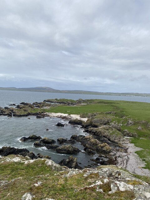
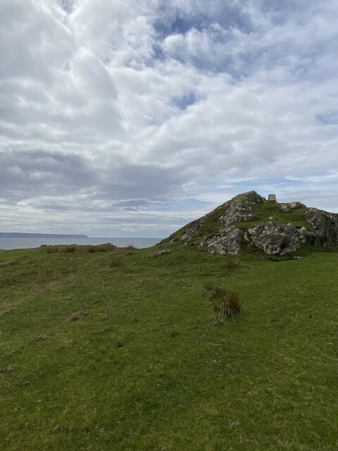
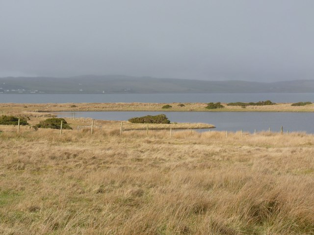
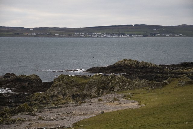
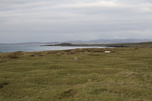
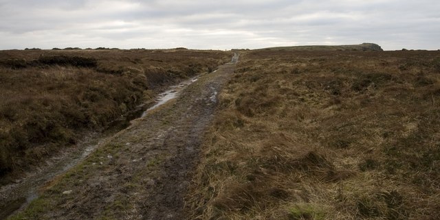
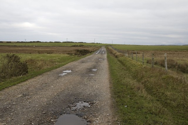
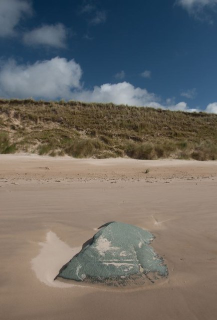
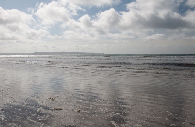
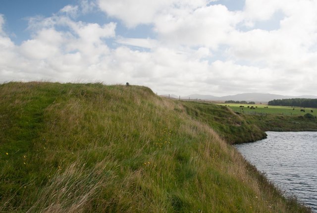
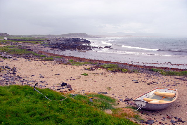
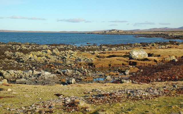
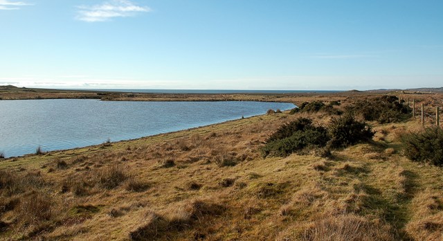
This headland is known for its stunning natural beauty and rugged coastal landscape. Jutting out into the sea, Geodha nam Muc offers magnificent panoramic views of the surrounding ocean and nearby islands. The headland is characterized by steep cliffs, rocky outcrops, and small secluded beaches, adding to its picturesque allure.

The area surrounding Geodha nam Muc is rich in biodiversity, attracting nature enthusiasts and wildlife observers. Seabird colonies, including puffins and gannets, can often be spotted nesting on the cliffs. The surrounding waters are home to a diverse range of marine life, such as seals, dolphins, and even occasional sightings of whales.

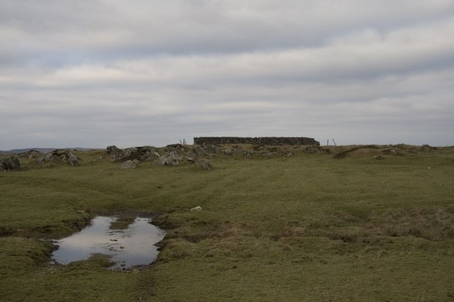
Geodha nam Muc is also of historical and cultural significance. The ruins of a medieval castle can be found on the headland, serving as a reminder of the area's past. The castle is believed to have been constructed in the 13th century and was once occupied by local clans.

As a popular tourist destination, Geodha nam Muc offers visitors a chance to experience Scotland's natural beauty, immerse themselves in history, and enjoy outdoor activities such as hiking, birdwatching, and photography.

If you have any feedback on the listing, please let us know in the comments section below.

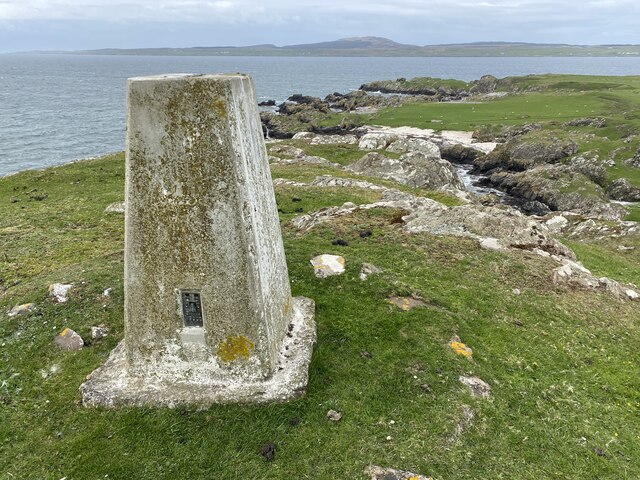
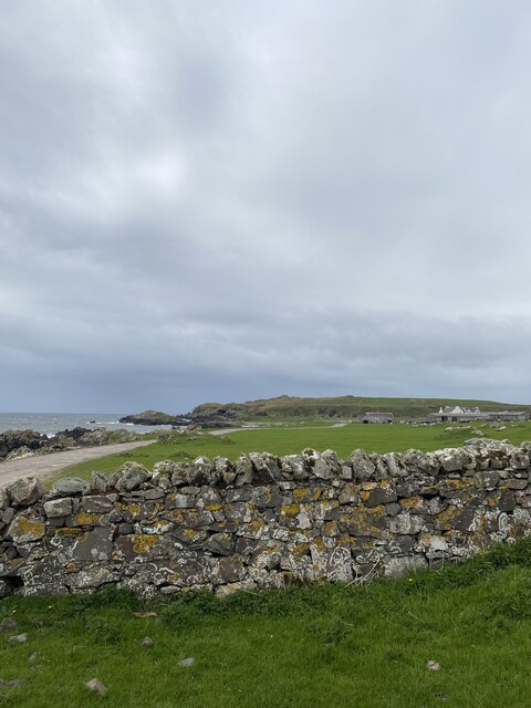
Geodha nam Muc Images

Images are sourced within 2km of 55.71453/-6.327723 or Grid Reference NR2855. Thanks to Geograph Open Source API. All images are credited.

Laggan Point Trig Point Flush Bracket S9000
Lovely coastal views
Location of Laggan Point Trig Point
View to Laggan Farm
View to Laggan Farm
The west end of Lochan na Nigheadaireachd, Islay With Loch Indaal and Port Charlotte village and lighthouse just visible in the distance.
The west end of Lochan na Nigheadaireachd, Islay
With Loch Indaal and Port Charlotte village and lighthouse just visible in the distance.
Looking across Loch Indaal to Port Charlotte, Islay
Old building and ford near Laggan, Islay
Rough grazing near Gartbreck, Islay
Gate on farmland, Laggan Estate, Islay
Track near Laggan, Islay Looking towards Laggan Point
Track near Laggan, Islay
Looking towards Laggan Point
Laggan Track, Islay
Laggan Track, Islay
Boulder on Islay's Big Strand
Big Strand, Islay Looking south towards the Oa peninsula.
Big Strand, Islay
Looking south towards the Oa peninsula.
Burial ground by River Laggan, Islay This burial ground was last used to bury a sailor washed ashore about 1840. It has gradually been eroded and probably much of the site, which once contained an old chapel, is under the River Laggan. A cross-shaft and incised slab from this site are preserved in the Museum of Islay Life at Port Charlotte.

For more information, visit: <span class="nowrap"><a title="http://canmore.rcahms.gov.uk/en/site/37297/details/islay+laggan/" rel="nofollow ugc noopener" href="http://canmore.rcahms.gov.uk/en/site/37297/details/islay+laggan/">Link</a><img style="margin-left:2px;" alt="External link" title="External link - shift click to open in new window" src="https://s1.geograph.org.uk/img/external.png" width="10" height="10"/></span>
Burial ground by River Laggan, Islay
This burial ground was last used to bury a sailor washed ashore about 1840. It has gradually been eroded and probably much of the site, which once contained an old chapel, is under the River Laggan. A cross-shaft and incised slab from this site are preserved in the Museum of Islay Life at Port Charlotte. For more information, visit: LinkExternal link
Port Ghillebride, Laggan, Islay Looking towards Laggan Bay on a wet and windy day.
Port Ghillebride, Laggan, Islay
Looking towards Laggan Bay on a wet and windy day.
Towards Gartbreck Looking along the Islay coastline towards Gartbreck Farm, in another square.
Towards Gartbreck
Looking along the Islay coastline towards Gartbreck Farm, in another square.
Ford On The Coastal Path The Explorer map shows this wet area as a ford on the track between Bowmore and Laggan.  Port Charlotte, on the other side of Loch Indaal, is visible in the distance.
Ford On The Coastal Path
The Explorer map shows this wet area as a ford on the track between Bowmore and Laggan. Port Charlotte, on the other side of Loch Indaal, is visible in the distance.
Lochan na Nigheadaireachd The western end of Lochan na Nigheadaireachd, with Loch Indaal visible in the background.
Lochan na Nigheadaireachd
The western end of Lochan na Nigheadaireachd, with Loch Indaal visible in the background.
Show me another place!

Geodha nam Muc is located at Grid Ref: NR2855 (Lat: 55.71453, Lng: -6.327723)

Unitary Authority: Argyll and Bute

Police Authority: Argyll and West Dunbartonshire

What 3 Words

///quicker.relatives.pack. Near Port Charlotte, Argyll & Bute

Related Wikis

River Laggan

The River Laggan is a small river on the Scottish island of Islay. Having gathered the waters of the Kilennan River, Barr River and Duich River / Torra...

Clark Cottage

Clark Cottage is a residential building in the Scottish village of Port Charlotte on the island of Islay. The building is on the eastern side of Main Street...

Port Charlotte, Islay

Port Charlotte (Scottish Gaelic: Port Sgioba) is a village on the island of Islay in the Inner Hebrides, Scotland. It was founded in 1828. In 1991 it...
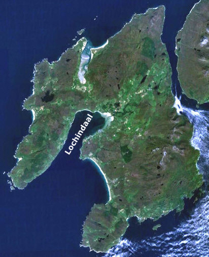
Loch Indaal

Loch Indaal (or Lochindaal) is a sea loch on Islay, the southernmost island of the Hebrides, off the west coast of Scotland. Together with Loch Gruinart...

Nearby Amenities

Located within 500m of 55.71453,-6.327723
Power: pole
Lat/Long: 55.7176082/-6.3249836
Power: pole
Lat/Long: 55.7180068/-6.3243529
The data included in this document is from www.openstreetmap.org. The data is made available under ODbL.

Have you been to Geodha nam Muc?

Leave your review of Geodha nam Muc below (or comments, questions and feedback).