Geodha nan Cuilean
Coastal Feature, Headland, Point in Argyllshire
Scotland
Geodha nan Cuilean
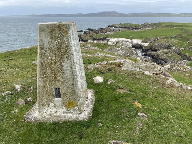
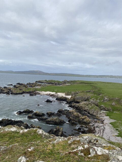
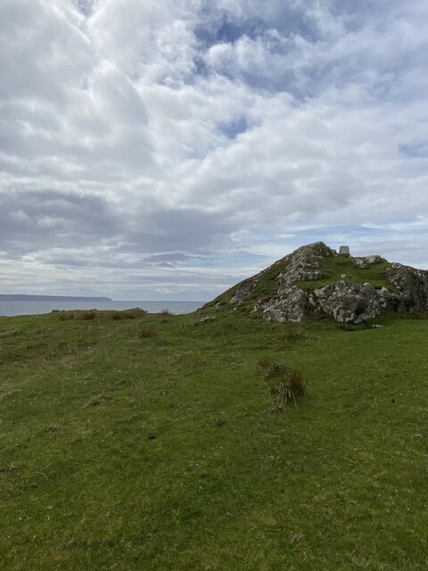
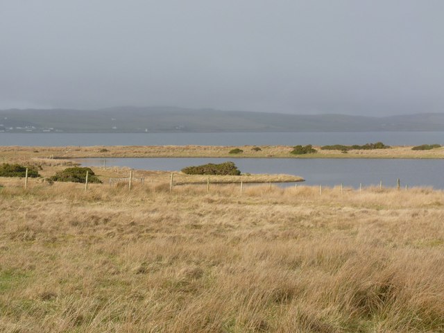
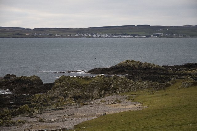
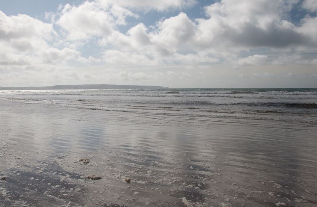
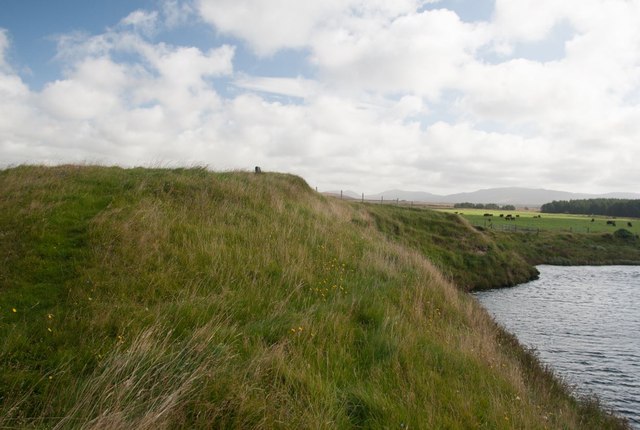
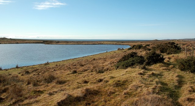
Geodha nan Cuilean is a striking coastal feature located in Argyllshire, Scotland. This prominent headland, also known as Cuilean Point, juts out into the vast Atlantic Ocean, offering breathtaking views and a unique natural landscape.
The headland is characterized by towering cliffs that rise dramatically from the sea, reaching heights of up to 150 feet. These imposing cliffs are composed of ancient rocks, showcasing layers of sedimentary and volcanic formations that have been shaped by millions of years of geological processes.
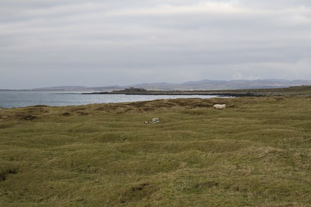
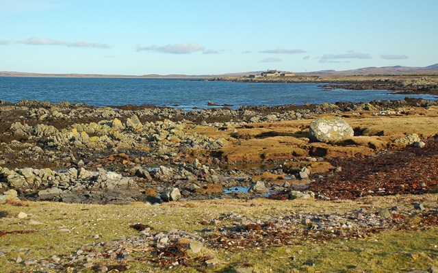
The rugged and rocky terrain of Geodha nan Cuilean provides a haven for a diverse range of wildlife. The surrounding waters are teeming with marine life, including seals, dolphins, and a variety of seabirds. Birdwatchers flock to this area to catch a glimpse of rare and migratory species that call the cliffs and nearby islands home.
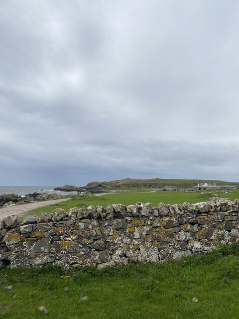
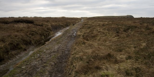
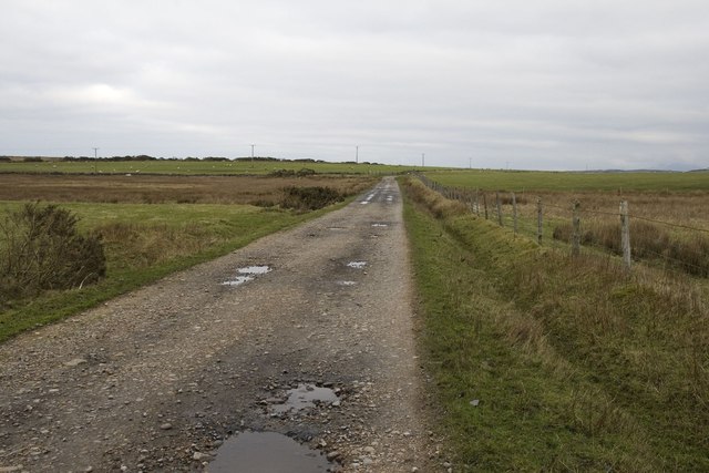
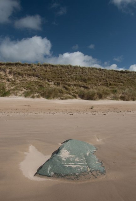
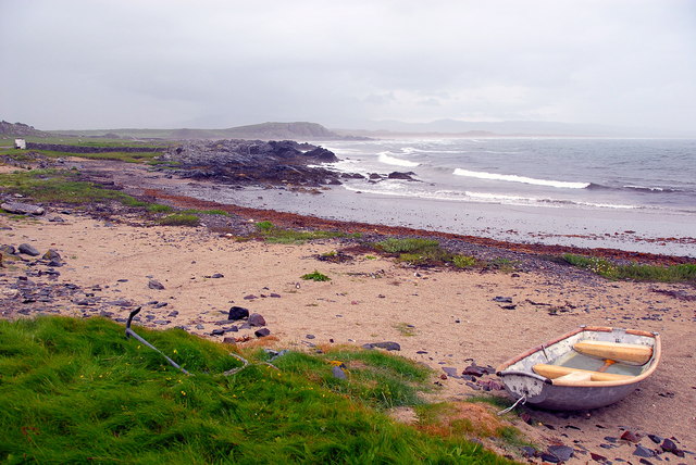
Access to Geodha nan Cuilean is relatively easy, with a well-maintained path that leads visitors to the headland. From here, one can explore the area on foot, taking in the awe-inspiring views of the Atlantic Ocean and the surrounding landscape. There are also small coves and sandy beaches tucked away along the coastline, offering opportunities for a peaceful picnic or a refreshing swim.
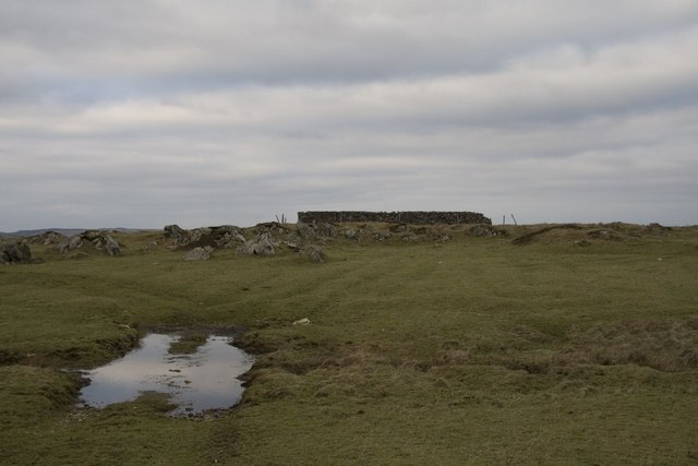
Geodha nan Cuilean is not only a natural wonder but also holds historical significance. It is believed to have been a strategic location for ancient settlements, and remnants of stone structures can still be found in the vicinity. These archaeological sites add another layer of intrigue to this already captivating coastal feature.
In conclusion, Geodha nan Cuilean is a magnificent headland that offers a mesmerizing blend of natural beauty, rich biodiversity, and historical significance. It is a must-visit destination for nature enthusiasts and those seeking to immerse themselves in the untamed beauty of Argyllshire's coastline.
If you have any feedback on the listing, please let us know in the comments section below.
Geodha nan Cuilean Images
Images are sourced within 2km of 55.71415/-6.3320944 or Grid Reference NR2855. Thanks to Geograph Open Source API. All images are credited.

Geodha nan Cuilean is located at Grid Ref: NR2855 (Lat: 55.71415, Lng: -6.3320944)
Unitary Authority: Argyll and Bute
Police Authority: Argyll and West Dunbartonshire
What 3 Words
///help.billiard.dinner. Near Port Charlotte, Argyll & Bute
Related Wikis

River Laggan
The River Laggan is a small river on the Scottish island of Islay. Having gathered the waters of the Kilennan River, Barr River and Duich River / Torra...

Clark Cottage
Clark Cottage is a residential building in the Scottish village of Port Charlotte on the island of Islay. The building is on the eastern side of Main Street...

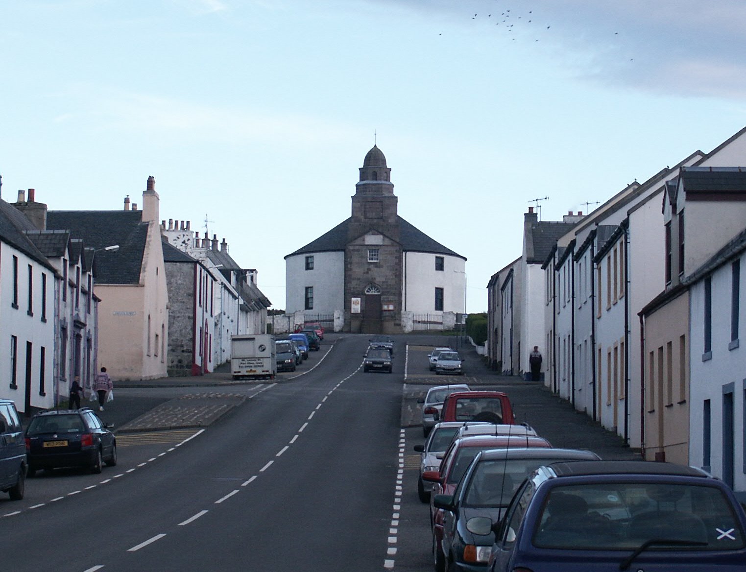
Port Charlotte, Islay
Port Charlotte (Scottish Gaelic: Port Sgioba) is a village on the island of Islay in the Inner Hebrides, Scotland. It was founded in 1828. In 1991 it...

Port Charlotte distillery
Port Charlotte distillery (also known as Rhins distillery and Lochindaal distillery) was a Scotch whisky distillery on the island of Islay, off the west...
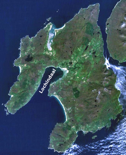
Loch Indaal
Loch Indaal (or Lochindaal) is a sea loch on Islay, the southernmost island of the Hebrides, off the west coast of Scotland. Together with Loch Gruinart...

A847 road
The A847 road is one of the two principal roads of Islay in the Inner Hebrides off the west coast of mainland Scotland. It connects Bridgend, at a junction...
Eilean na Muice Duibhe
Eilean na Muice Duibhe, also known as Duich Moss, is an area of low-level blanket mire on the island of Islay, off the west coast of Scotland. Located...
Kilarrow Parish Church
Kilarrow Church (Scottish Gaelic: Eaglais Cill an Rubha) is a Church of Scotland parish church, overlooking and serving Bowmore on the island of Islay...
Have you been to Geodha nan Cuilean?
Leave your review of Geodha nan Cuilean below (or comments, questions and feedback).