Port an Tobair

Sea, Estuary, Creek in Argyllshire

Scotland

Port an Tobair

Laggan Point Trig Point Flush Bracket S9000
Laggan Point Trig Point Flush Bracket S9000 Credit: thejackrustles

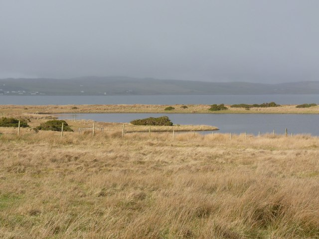
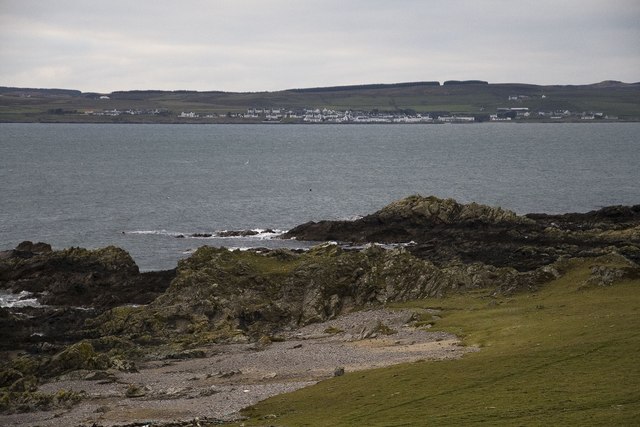
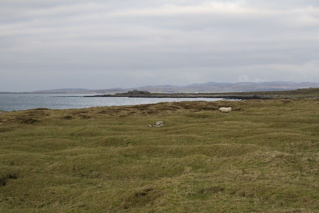
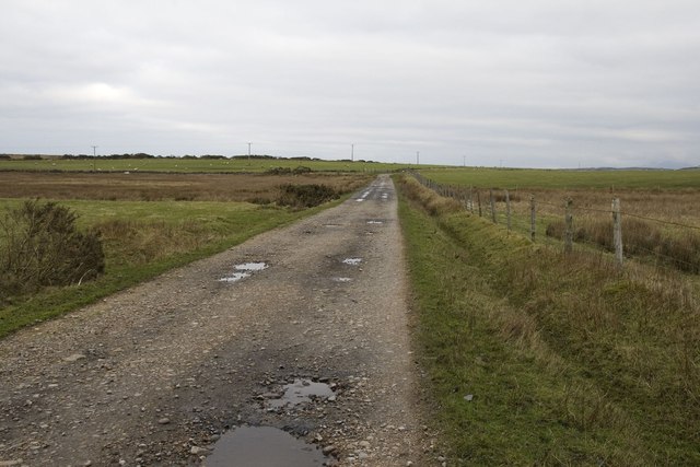
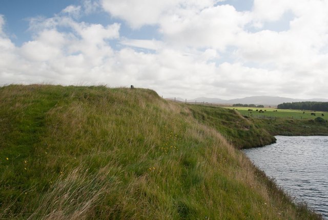
Port an Tobair, located in Argyllshire, is a picturesque coastal area that encompasses a sea, estuary, and creek. Nestled amidst the captivating Scottish landscape, this tranquil location offers a serene and idyllic setting for visitors.

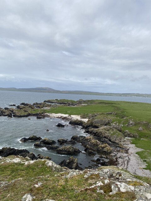
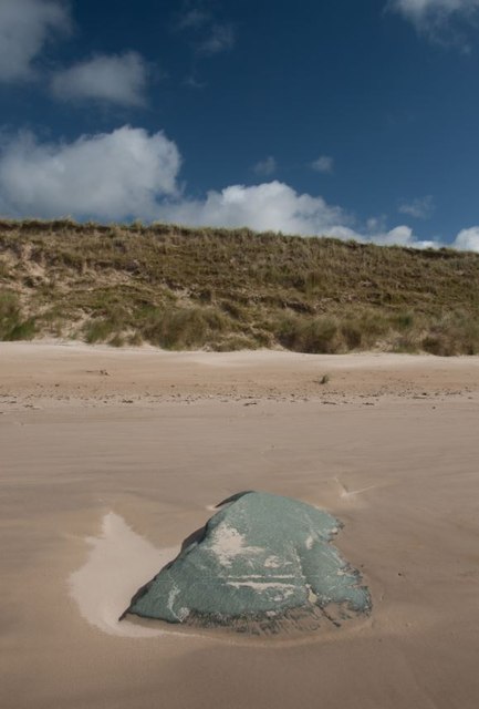
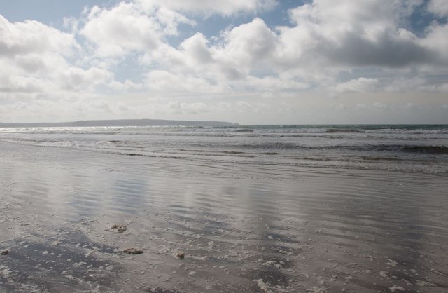
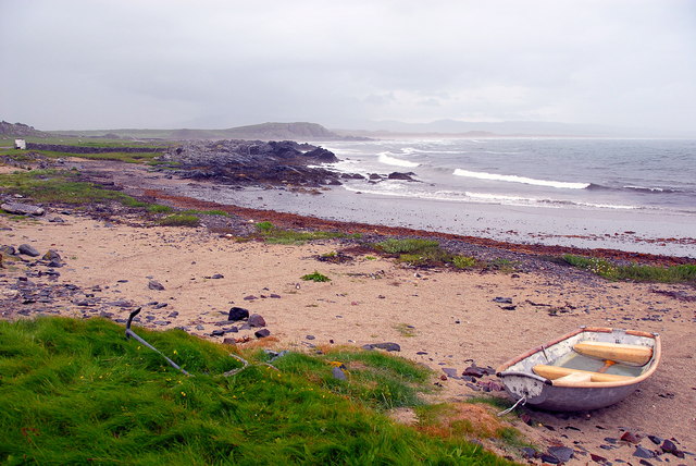
The sea at Port an Tobair is a vast expanse of sparkling blue waters that stretch as far as the eye can see. It provides a breathtaking backdrop, with its rhythmic waves crashing against the rugged coastline. The sea also offers opportunities for water activities such as swimming, sailing, and fishing, attracting enthusiasts from near and far.

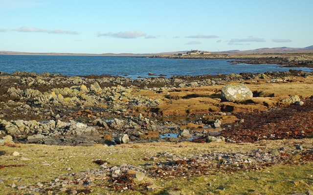
The estuary at Port an Tobair is a unique feature of the landscape. It is formed by the convergence of a river and the sea, creating a diverse ecosystem that is home to a wide variety of marine life. The estuary is a haven for birdwatchers, as it attracts numerous species of birds, including herons, ducks, and gulls, making it a paradise for nature enthusiasts.

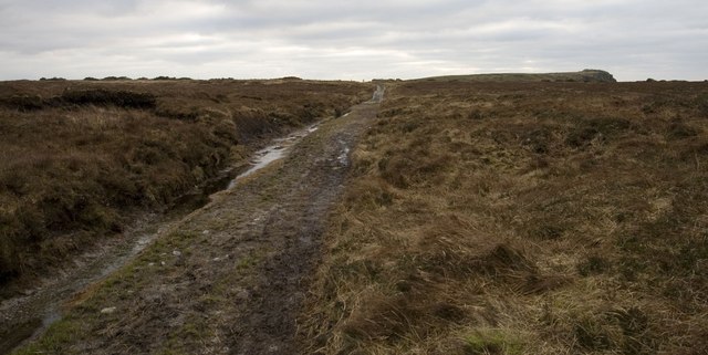
The creek at Port an Tobair is a small, narrow waterway that meanders through the picturesque countryside. It provides a sheltered and peaceful environment, perfect for leisurely walks along its banks. The creek is also a favorite spot for local fishermen, who can be seen casting their lines in search of a prized catch.

Port an Tobair, with its combination of sea, estuary, and creek, offers a captivating blend of natural beauty and tranquility. Whether one seeks adventure on the open waters or a peaceful retreat in nature, this charming coastal area has something to offer for everyone.

If you have any feedback on the listing, please let us know in the comments section below.

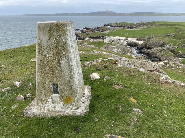
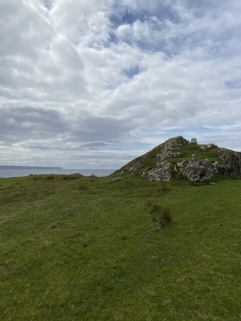
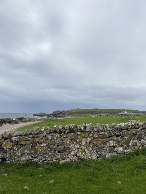
Port an Tobair Images

Images are sourced within 2km of 55.715553/-6.3265139 or Grid Reference NR2855. Thanks to Geograph Open Source API. All images are credited.

Laggan Point Trig Point Flush Bracket S9000
Lovely coastal views
Location of Laggan Point Trig Point
View to Laggan Farm
View to Laggan Farm
Edge of Conifer Plantation at Banaltrum Mhòr, Islay
The west end of Lochan na Nigheadaireachd, Islay With Loch Indaal and Port Charlotte village and lighthouse just visible in the distance.
The west end of Lochan na Nigheadaireachd, Islay
With Loch Indaal and Port Charlotte village and lighthouse just visible in the distance.
Looking across Loch Indaal to Port Charlotte, Islay
Lazy beds near Laggan, Islay
Old building and ford near Laggan, Islay
Rough grazing near Gartbreck, Islay
Gate on farmland, Laggan Estate, Islay
Track near Laggan, Islay Looking towards Laggan Point
Track near Laggan, Islay
Looking towards Laggan Point
Laggan Track, Islay
Laggan Track, Islay
Boulder on Islay's Big Strand
Big Strand, Islay Looking south towards the Oa peninsula.
Big Strand, Islay
Looking south towards the Oa peninsula.
Burial ground by River Laggan, Islay This burial ground was last used to bury a sailor washed ashore about 1840. It has gradually been eroded and probably much of the site, which once contained an old chapel, is under the River Laggan. A cross-shaft and incised slab from this site are preserved in the Museum of Islay Life at Port Charlotte.

For more information, visit: <span class="nowrap"><a title="http://canmore.rcahms.gov.uk/en/site/37297/details/islay+laggan/" rel="nofollow ugc noopener" href="http://canmore.rcahms.gov.uk/en/site/37297/details/islay+laggan/">Link</a><img style="margin-left:2px;" alt="External link" title="External link - shift click to open in new window" src="https://s1.geograph.org.uk/img/external.png" width="10" height="10"/></span>
Burial ground by River Laggan, Islay
This burial ground was last used to bury a sailor washed ashore about 1840. It has gradually been eroded and probably much of the site, which once contained an old chapel, is under the River Laggan. A cross-shaft and incised slab from this site are preserved in the Museum of Islay Life at Port Charlotte. For more information, visit: LinkExternal link
Port Ghillebride, Laggan, Islay Looking towards Laggan Bay on a wet and windy day.
Port Ghillebride, Laggan, Islay
Looking towards Laggan Bay on a wet and windy day.
Towards Gartbreck Looking along the Islay coastline towards Gartbreck Farm, in another square.
Towards Gartbreck
Looking along the Islay coastline towards Gartbreck Farm, in another square.
Show me another place!

Port an Tobair is located at Grid Ref: NR2855 (Lat: 55.715553, Lng: -6.3265139)

Unitary Authority: Argyll and Bute

Police Authority: Argyll and West Dunbartonshire

What 3 Words

///balancing.veered.adopts. Near Port Charlotte, Argyll & Bute

Related Wikis

River Laggan

The River Laggan is a small river on the Scottish island of Islay. Having gathered the waters of the Kilennan River, Barr River and Duich River / Torra...
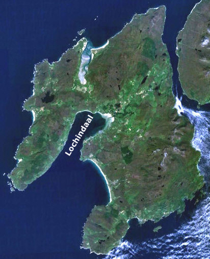
Loch Indaal

Loch Indaal (or Lochindaal) is a sea loch on Islay, the southernmost island of the Hebrides, off the west coast of Scotland. Together with Loch Gruinart...

Port Charlotte, Islay

Port Charlotte (Scottish Gaelic: Port Sgioba) is a village on the island of Islay in the Inner Hebrides, Scotland. It was founded in 1828. In 1991 it...

Clark Cottage

Clark Cottage is a residential building in the Scottish village of Port Charlotte on the island of Islay. The building is on the eastern side of Main Street...

Nearby Amenities

Located within 500m of 55.715553,-6.3265139
Power: pole
Lat/Long: 55.7176082/-6.3249836
Power: pole
Lat/Long: 55.7180068/-6.3243529
Power: pole
Lat/Long: 55.7185269/-6.3235035
Power: pole
Lat/Long: 55.718696/-6.3225741
Power: pole
Lat/Long: 55.7191073/-6.3217774
The data included in this document is from www.openstreetmap.org. The data is made available under ODbL.

Have you been to Port an Tobair?

Leave your review of Port an Tobair below (or comments, questions and feedback).