An Clachan
Coastal Feature, Headland, Point in Argyllshire
Scotland
An Clachan
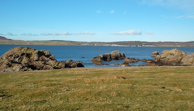
An Clachan is a prominent headland located in Argyllshire, Scotland. Situated on the coastal region, it serves as a notable landmark in the area. The headland extends outwards into the Atlantic Ocean, forming a distinct point that offers breathtaking views of the surrounding landscape.
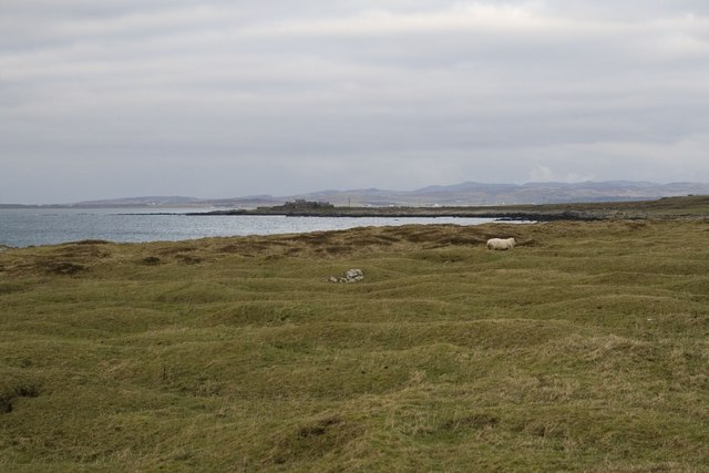
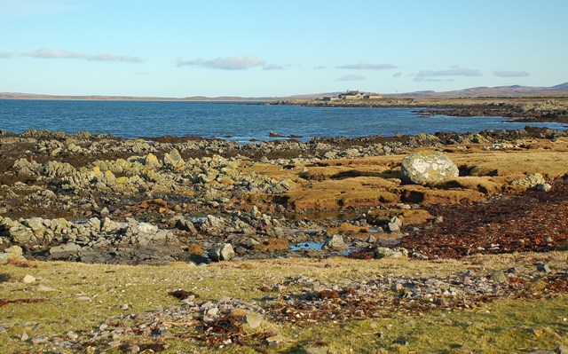
Characterized by rugged cliffs and rocky outcrops, An Clachan stands as a testament to the powerful forces of erosion and weathering that have shaped the coastline over millennia. The cliffs, composed mainly of sedimentary rock, exhibit a variety of colors and textures, adding to the visual appeal of the headland. These formations are also home to various seabird species, including gulls and cormorants, which can often be seen nesting and soaring above the cliffs.
The headland's strategic location provides a vantage point for visitors to witness the dramatic collision of the land and sea. The crashing waves, influenced by the prevailing winds, create a captivating spectacle that attracts photographers, nature enthusiasts, and outdoor adventurers alike. The view from An Clachan also encompasses the vast expanse of the ocean, with distant islands dotting the horizon, adding a sense of tranquility and solitude to the overall experience.
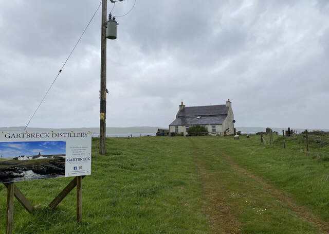
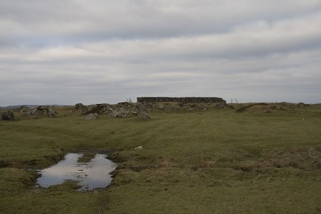
Access to An Clachan is facilitated by a well-maintained footpath, which winds its way along the coastal edge, allowing visitors to explore the headland and appreciate its natural beauty up close. The area surrounding the headland is also rich in cultural heritage, with ancient ruins and archaeological sites nearby, providing an opportunity for visitors to immerse themselves in the history of the region.
In conclusion, An Clachan is an awe-inspiring headland in Argyllshire, offering a captivating blend of geological wonders, stunning vistas, and cultural significance. Its unique combination of natural and historical features makes it a must-visit destination for anyone exploring the Scottish coastline.
If you have any feedback on the listing, please let us know in the comments section below.
An Clachan Images
Images are sourced within 2km of 55.742036/-6.3330525 or Grid Reference NR2858. Thanks to Geograph Open Source API. All images are credited.


An Clachan is located at Grid Ref: NR2858 (Lat: 55.742036, Lng: -6.3330525)
Unitary Authority: Argyll and Bute
Police Authority: Argyll and West Dunbartonshire
What 3 Words
///ratty.improves.unwind. Near Port Charlotte, Argyll & Bute
Related Wikis
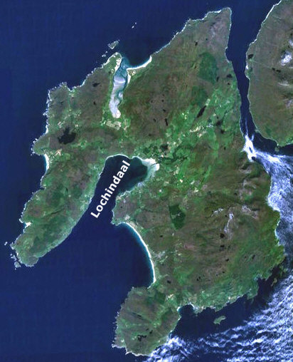
Loch Indaal
Loch Indaal (or Lochindaal) is a sea loch on Islay, the southernmost island of the Hebrides, off the west coast of Scotland. Together with Loch Gruinart...

A847 road
The A847 road is one of the two principal roads of Islay in the Inner Hebrides off the west coast of mainland Scotland. It connects Bridgend, at a junction...

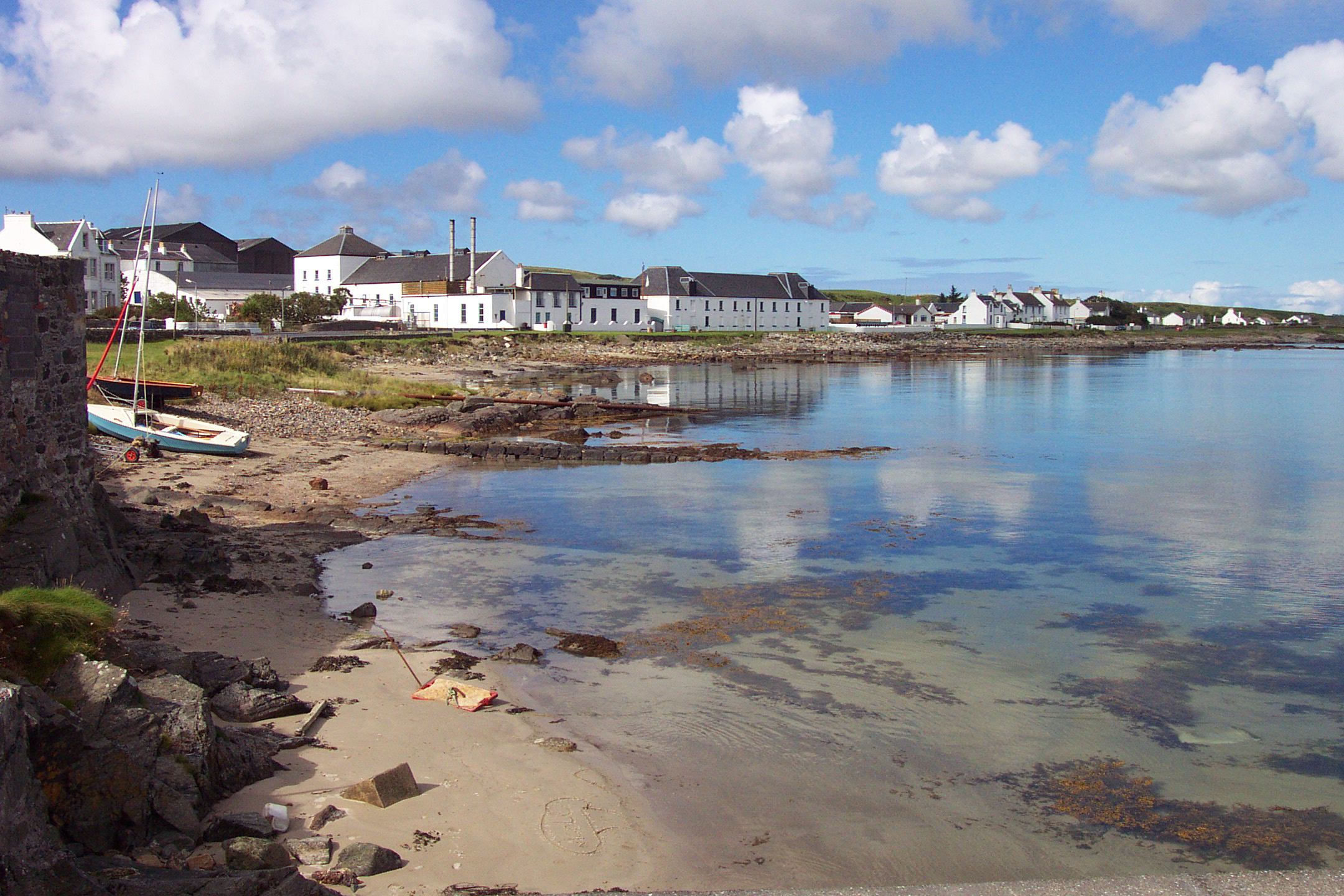
Port Charlotte, Islay
Port Charlotte (Scottish Gaelic: Port Sgioba) is a village on the island of Islay in the Inner Hebrides, Scotland. It was founded in 1828. In 1991 it...

Port Charlotte distillery
Port Charlotte distillery (also known as Rhins distillery and Lochindaal distillery) was a Scotch whisky distillery on the island of Islay, off the west...

Clark Cottage
Clark Cottage is a residential building in the Scottish village of Port Charlotte on the island of Islay. The building is on the eastern side of Main Street...

Bowmore distillery
Bowmore distillery ( boh-MOR, Scottish Gaelic: Taigh-staile Bogh Mòr) produces Scotch whisky on the Isle of Islay, an island of the Inner Hebrides.The...
Bruichladdich distillery
Bruichladdich distillery ( bruukh-LAD-ee; Scottish Gaelic: [pɾuə'xl̪ˠat̪ɪç]) is a distillery on the Rhinns of the isle of Islay in Scotland. The distillery...
RAF Bowmore
Royal Air Force Bowmore or more simply RAF Bowmore is a former Royal Air Force seaplane station located in Bowmore, Argyll and Bute, Scotland. The following...
Nearby Amenities
Located within 500m of 55.742036,-6.3330525Have you been to An Clachan?
Leave your review of An Clachan below (or comments, questions and feedback).