Am Mialagan

Coastal Feature, Headland, Point in Argyllshire

Scotland

Am Mialagan

Church of Scotland, Canna
Church of Scotland, Canna Credit: John Ferguson

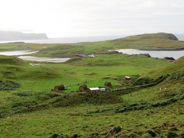
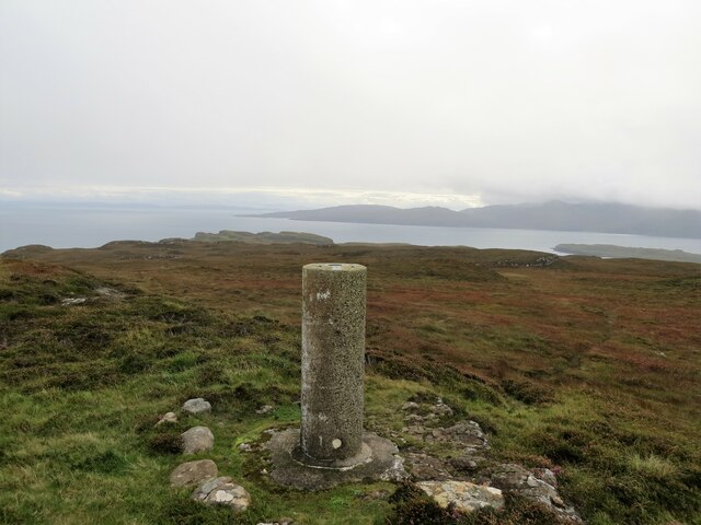
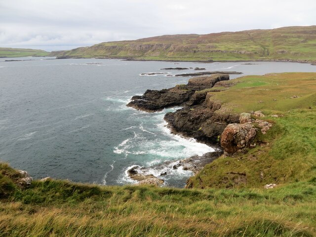
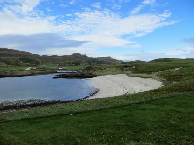
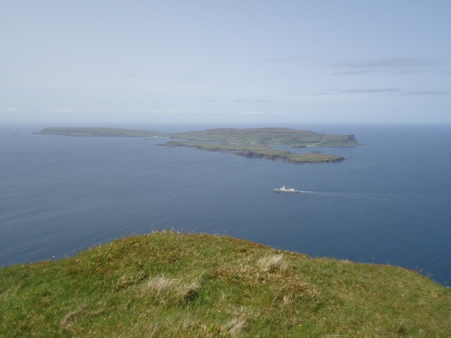
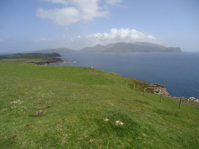
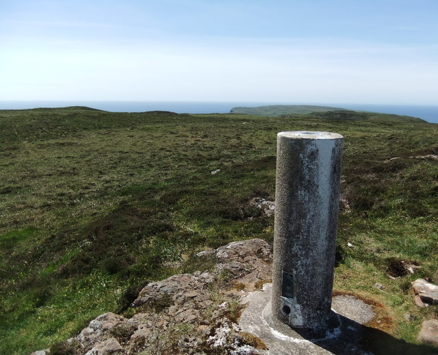
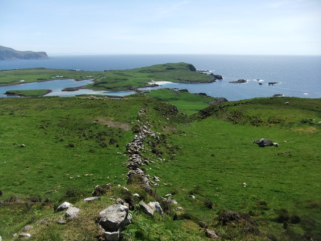
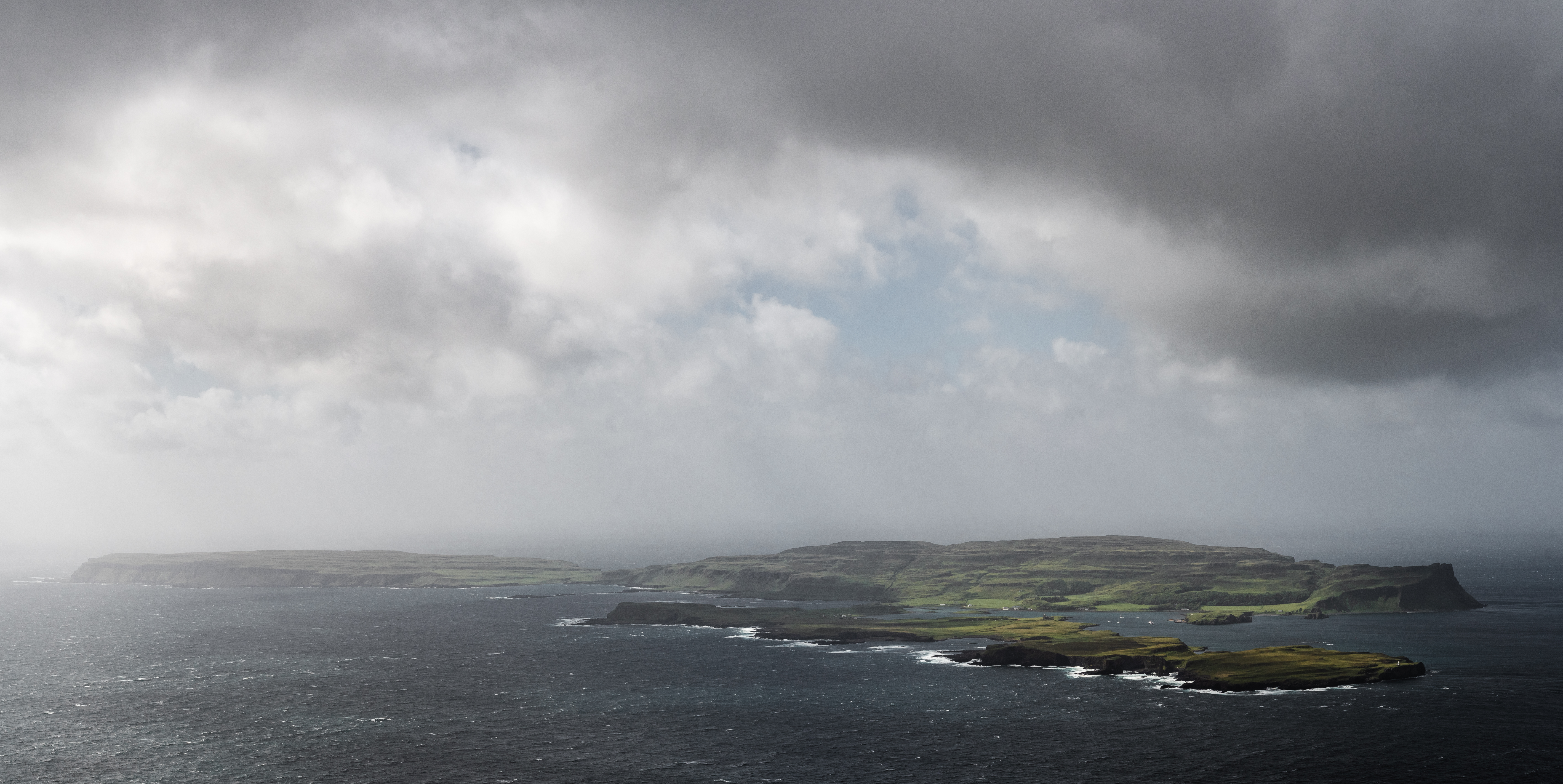
Am Mialagan is a prominent coastal feature located in Argyllshire, Scotland. It is a headland that juts out into the Atlantic Ocean, forming a distinctive and picturesque point on the rugged coastline. The name "Am Mialagan" is derived from the Gaelic language and translates to "the point of the cliffs."

This headland is characterized by its dramatic cliffs, which rise steeply from the sea, offering breathtaking views of the surrounding landscape. The cliffs are composed of ancient rocks, showcasing layers of sedimentary formations that have been shaped by millions of years of erosion by wind, waves, and weather. This geological diversity adds to the charm and uniqueness of Am Mialagan.

The headland is rich in wildlife, serving as a haven for various species of seabirds, including puffins, guillemots, and razorbills. Visitors to Am Mialagan can witness these magnificent birds nesting and soaring above the cliffs, creating a vibrant and lively atmosphere.

The point also provides a picturesque vantage point for observing the Atlantic Ocean, with its ever-changing moods and hues. The crashing waves, combined with the rugged and untamed coastline, create a sense of awe and tranquility.

Am Mialagan is a popular destination for nature enthusiasts, hikers, and photographers. Its breathtaking beauty and natural diversity make it an ideal spot for exploring, capturing stunning photographs, or simply immersing oneself in the raw power and beauty of the Scottish coast.

If you have any feedback on the listing, please let us know in the comments section below.
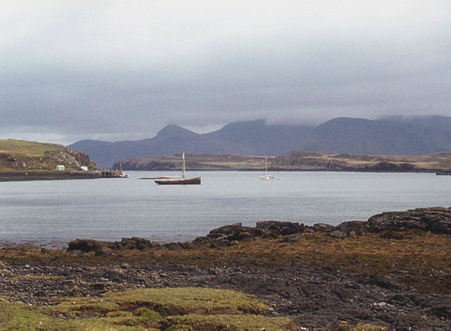
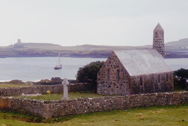
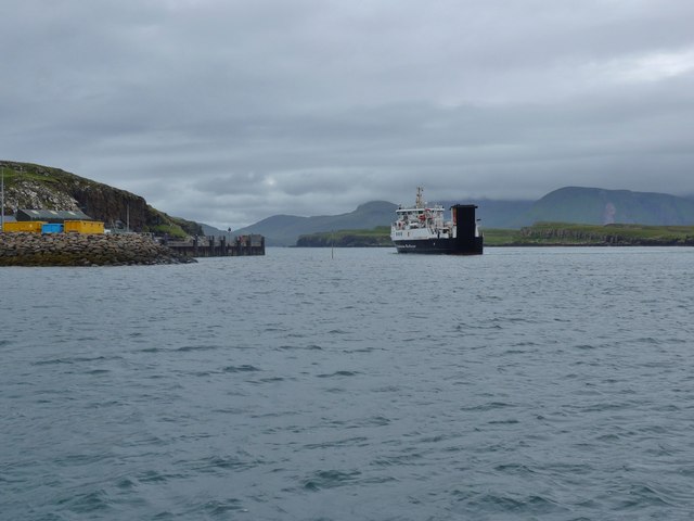
Am Mialagan Images

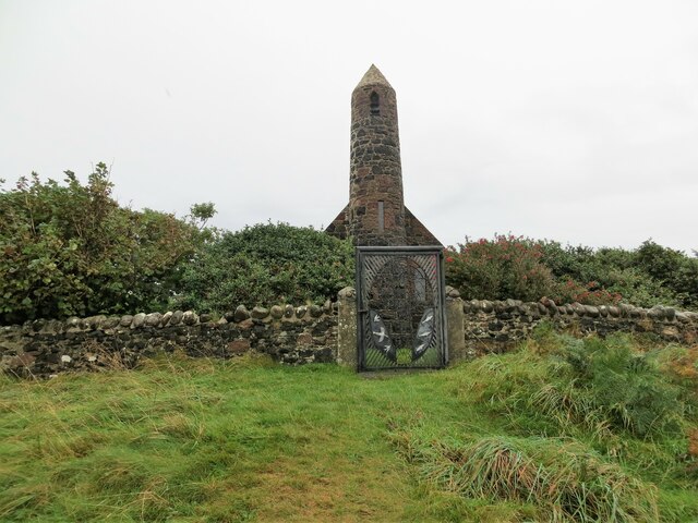
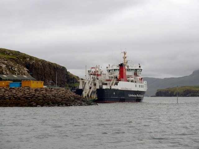
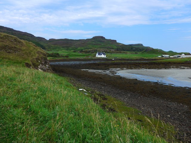
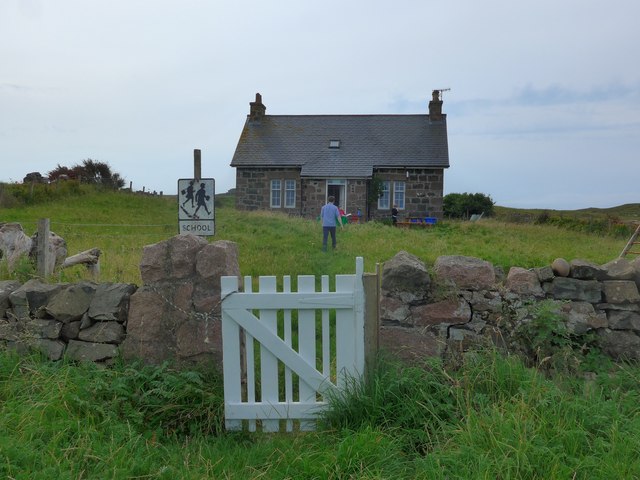
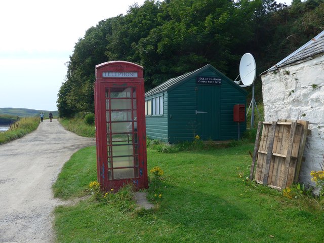
Images are sourced within 2km of 57.053516/-6.5073383 or Grid Reference NG2604. Thanks to Geograph Open Source API. All images are credited.

Church of Scotland, Canna
Pods at Canna Campsite With Sanday Island beyond and Rum behind that
Pods at Canna Campsite
With Sanday Island beyond and Rum behind that
Trig pillar on Carn a' Ghaill 210m, Canna The highest point on the island
Trig pillar on Carn a' Ghaill 210m, Canna
The highest point on the island
Coastline on Sanday below Tallabric Island of Canna beyond
Coastline on Sanday below Tallabric
Island of Canna beyond
Sandy beach on Sanday Island The bridge in the distance connects Sanday to Canna
Sandy beach on Sanday Island
The bridge in the distance connects Sanday to Canna
Saint Columba's chapel, Canna
Canna House Currently being restored
Canna House
Currently being restored
Canna and Sanday from Bloodstone Hill, Rum Bloodstone Hill, 388m, is north-west of Orval and almost at the extreme west of Rum.  Here we are looking north-west towards Canna, the most distant of the Small Isles from the mainland. It is 7km long but only about 1.5km wide. In front of it is the low-lying island of Sanday, which is tidal but connected to Canna by a bridge. And the Royal Navy are active in the Sound of Canna.

As is my normal practice in cases like this, I give as the subject grid reference that of the highest point of Canna, which is Carn a' Ghaill, 210m.

For a view in the opposite direction, from Sanday to Mull, see <a href="https://www.geograph.org.uk/photo/7522796">NG2604 : North-west Rum from Sanday</a>.
Canna and Sanday from Bloodstone Hill, Rum
Bloodstone Hill, 388m, is north-west of Orval and almost at the extreme west of Rum. Here we are looking north-west towards Canna, the most distant of the Small Isles from the mainland. It is 7km long but only about 1.5km wide. In front of it is the low-lying island of Sanday, which is tidal but connected to Canna by a bridge. And the Royal Navy are active in the Sound of Canna. As is my normal practice in cases like this, I give as the subject grid reference that of the highest point of Canna, which is Carn a' Ghaill, 210m. For a view in the opposite direction, from Sanday to Mull, see NG2604 : North-west Rum from Sanday.
North-west Rum from Sanday Taken from the highest point of Sanday, Tallabric 59m. To the left is the southern shore of Sanday. Across the Sound of Canna are the hills of north-west Rum. The pyramid in the centre is Fionchra, 463m in <a href="https://www.geograph.org.uk/gridref/NG3300">NG3300</a>, and Bloodstone Hill is the darker one to the right. Behind Bloodstone Hill (388m in <a href="https://www.geograph.org.uk/gridref/NG3100">NG3100</a>) is a range of hills of which the highest is Orval, 571m in <a href="https://www.geograph.org.uk/gridref/NM3399">NM3399</a>.

For a view in the opposite direction, from Bloodstone Hill to Canna and Sanday, see <a href="https://www.geograph.org.uk/photo/7522759">NG2606 : Canna and Sanday from Bloodstone Hill, Rum</a>.
North-west Rum from Sanday
Taken from the highest point of Sanday, Tallabric 59m. To the left is the southern shore of Sanday. Across the Sound of Canna are the hills of north-west Rum. The pyramid in the centre is Fionchra, 463m in NG3300, and Bloodstone Hill is the darker one to the right. Behind Bloodstone Hill (388m in NG3100) is a range of hills of which the highest is Orval, 571m in NM3399. For a view in the opposite direction, from Bloodstone Hill to Canna and Sanday, see NG2606 : Canna and Sanday from Bloodstone Hill, Rum.
Across Canna Harbour
Canna's church
Canna's church
The Loch Nevis ferry arriving in Canna Harbour Because of tight manoeuvring space, she comes into the harbour going astern.  Note the perch midway between the ferry and the jetty, marking a patch of shoal water very close to the ro-ro slip.
The Loch Nevis ferry arriving in Canna Harbour
Because of tight manoeuvring space, she comes into the harbour going astern. Note the perch midway between the ferry and the jetty, marking a patch of shoal water very close to the ro-ro slip.
The Loch Nevis ferry in Canna Harbour Note the perch to the right of the ferry, marking a patch of shoal water very close to the ro-ro slip
The Loch Nevis ferry in Canna Harbour
Note the perch to the right of the ferry, marking a patch of shoal water very close to the ro-ro slip
Drying bay at Canna Harbour The large white building extreme right is the main farm and also generating station for Canna and Sanday.
Drying bay at Canna Harbour
The large white building extreme right is the main farm and also generating station for Canna and Sanday.
The school on Sanday (Canna) in August 2016 The figure in blue is the teacher who told us that this was the second day of term at the school and also his second day of teaching in Canna, having previously taught in Glasgow.   He has three pupils.

Compare with <a href="https://www.geograph.org.uk/photo/42148">NG2604 : The School, Canna</a>
The school on Sanday (Canna) in August 2016
The figure in blue is the teacher who told us that this was the second day of term at the school and also his second day of teaching in Canna, having previously taught in Glasgow. He has three pupils. Compare with NG2604 : The School, Canna
Canna post office Just a wooden shed but it does the job for the 20 or so residents and the visitors who arrive by ferry from Mallaig (who perhaps are more appreciative of the phone box, since mobile coverage is patchy, to say the least!).
Canna post office
Just a wooden shed but it does the job for the 20 or so residents and the visitors who arrive by ferry from Mallaig (who perhaps are more appreciative of the phone box, since mobile coverage is patchy, to say the least!).
Carn a' Ghaill Cairn of the stranger
Carn a' Ghaill
Cairn of the stranger
Ancient wall on Canna
Show me another place!

Am Mialagan is located at Grid Ref: NG2604 (Lat: 57.053516, Lng: -6.5073383)

Unitary Authority: Highland

Police Authority: Highlands and Islands

What 3 Words

///prominent.hobble.stylists. Near Elgol, Highland

Related Wikis

A' Chill

A' Chill was a village on Canna, in the Scottish Small Isles. The name means "the cell", referring to a Culdee church, and is often anglicised as "Kil...

St Edward's Church, Sanday

St Edward's Church, Sanday, is a deconsecrated, and now disused church on the small isle of Sanday, Inner Hebrides, Scotland. The church was a gift to...

St Columba's Church, Canna

St Columba's Church is a Category B listed building on the isle of Canna, in the Small Isles, Highland, Scotland. == History == Prior to the building of...

Sanday, Inner Hebrides

Sanday (Scottish Gaelic: Sandaigh; Scots: Sandee) is one of the Small Isles, in the Scottish Inner Hebrides. It is a tidal island linked to its larger...

Canna, Scotland

Canna (; Scottish Gaelic: Canaigh, Eilean Chanaigh) is the westernmost of the Small Isles archipelago, in the Scottish Inner Hebrides. It is linked to...

Nearby Amenities

Located within 500m of 57.053516,-6.5073383
Source: PGS
Lat/Long: 57.0567322/-6.5023589
Source: PGS
Lat/Long: 57.05627/-6.5043777
Source: PGS
Lat/Long: 57.0566576/-6.50486
Source: PGS
Lat/Long: 57.0567736/-6.5053738
Source: PGS
Lat/Long: 57.0562053/-6.5066412
Source: PGS
Lat/Long: 57.05632/-6.50723
Source: PGS
Lat/Long: 57.0564021/-6.5075067
Source: PGS
Lat/Long: 57.0565842/-6.508313
Source: PGS
Lat/Long: 57.0563702/-6.5086524
Source: PGS
Lat/Long: 57.0561211/-6.5094216
Source: PGS
Lat/Long: 57.05559/-6.50939
Source: PGS
Lat/Long: 57.05534/-6.50941
Source: PGS
Lat/Long: 57.05483/-6.50944
Source: PGS
Lat/Long: 57.05457/-6.50923
Source: PGS
Lat/Long: 57.05446/-6.51017
Source: PGS
Lat/Long: 57.05421/-6.51066
Source: PGS
Lat/Long: 57.0541/-6.51161
Source: PGS
Lat/Long: 57.0542662/-6.5118285
Source: PGS
Lat/Long: 57.05461/-6.51204
Source: PGS
Lat/Long: 57.0549305/-6.5120923
Source: PGS
Lat/Long: 57.0552678/-6.5130373
Source: PGS
Lat/Long: 57.0554344/-6.5136415
Source: PGS
Lat/Long: 57.055865/-6.5138774
Am Mialagan
Place: locality
Source: OS_OpenData_StreetView
Lat/Long: 57.0530048/-6.5077502
Traigh Bhan
Place: locality
Source: OS_OpenData_StreetView
Lat/Long: 57.052878/-6.5109632
An Doirlinn
Place: locality
Source: OS_OpenData_StreetView
Lat/Long: 57.053619/-6.510781
Rubha Dubh
Place: locality
Source: OS_OpenData_StreetView
Lat/Long: 57.0547639/-6.5117854
Sliabh na Creige Airde
Place: locality
Source: OS_OpenData_StreetView
Lat/Long: 57.0508633/-6.5125604
Iolann an Eilean
Place: locality
Source: OS_OpenData_StreetView
Lat/Long: 57.0544712/-6.5055482
Rubha -na Cor
Place: locality
Source: OS_OpenData_StreetView
Lat/Long: 57.0563819/-6.5028899
The data included in this document is from www.openstreetmap.org. The data is made available under ODbL.

Have you been to Am Mialagan?

Leave your review of Am Mialagan below (or comments, questions and feedback).