An Doirlinn
Bay in Argyllshire
Scotland
An Doirlinn
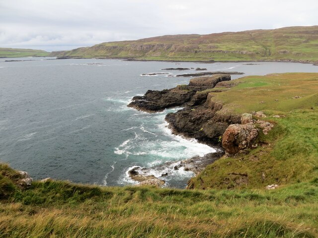
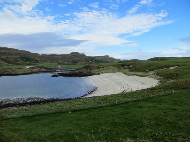
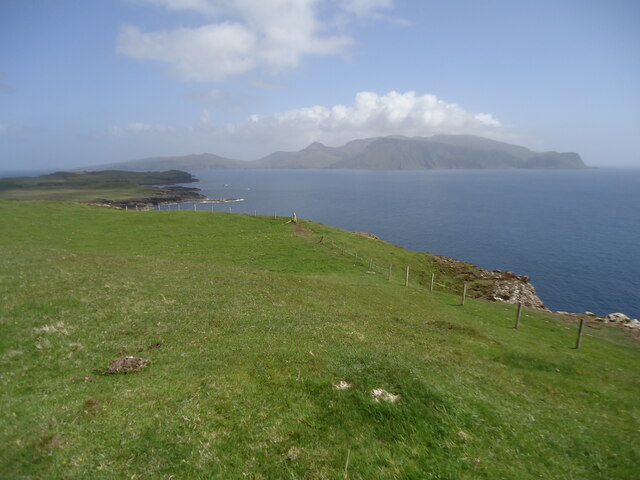
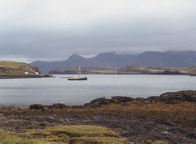
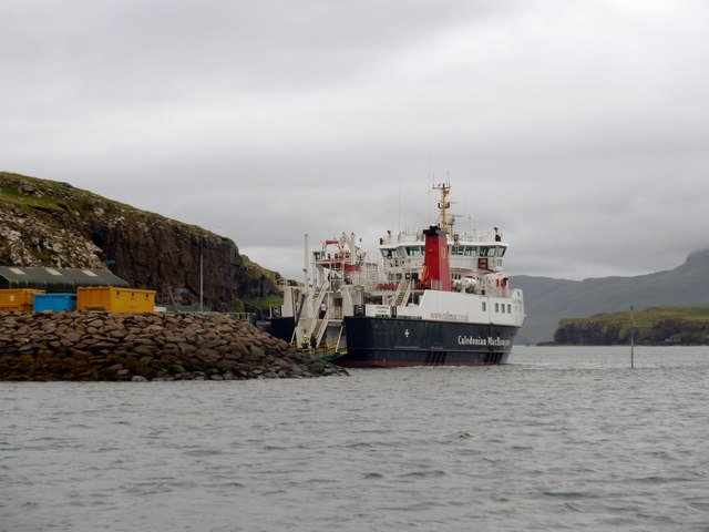
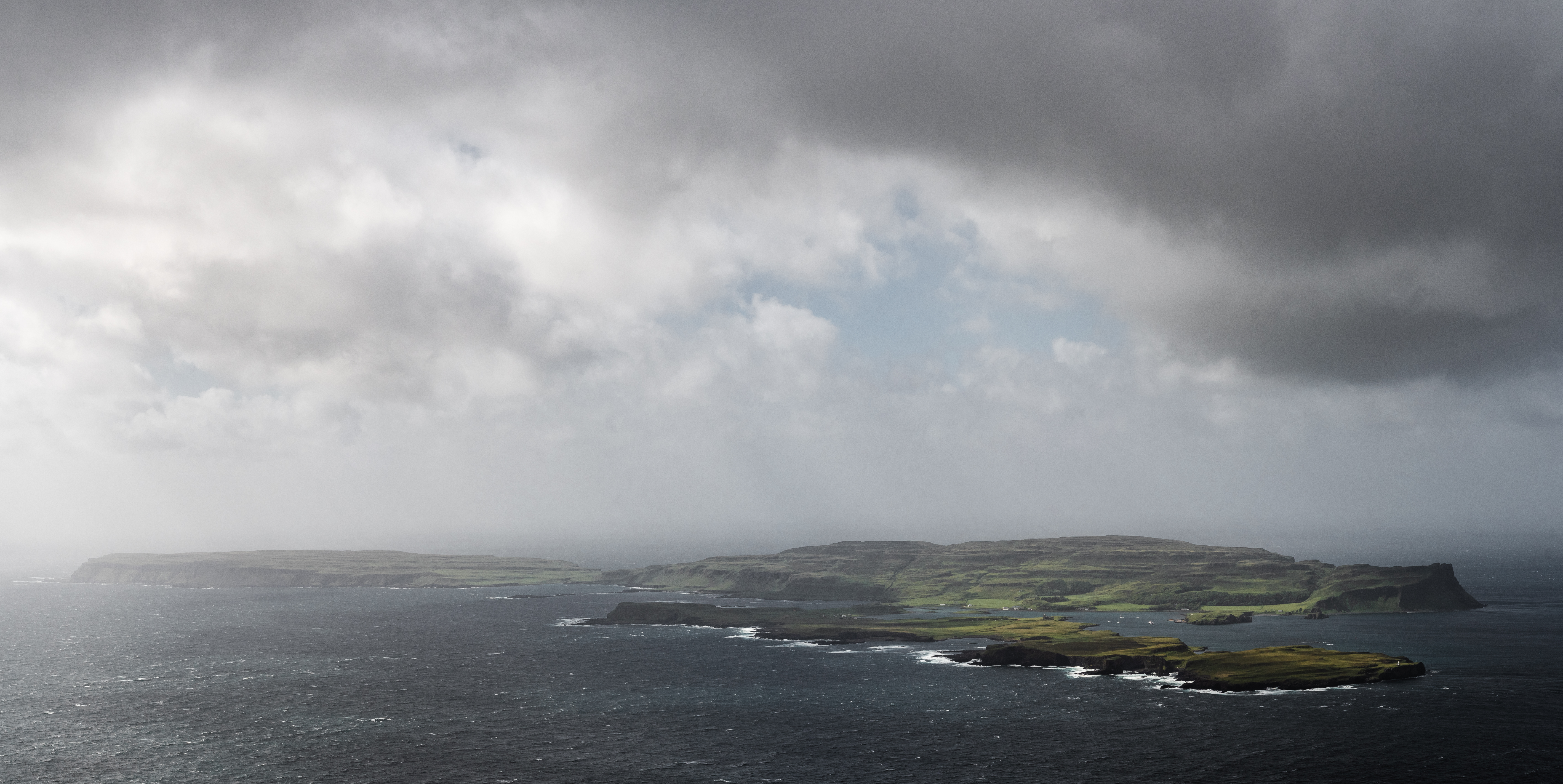
An Doirlinn, also known as The Sound of Mull, is a bay located in the region of Argyllshire, on the west coast of Scotland. It is a narrow stretch of water that separates the Isle of Mull from the mainland. The bay is approximately 30 kilometers long and varies in width, ranging from 1 to 10 kilometers.
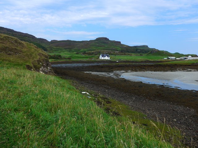
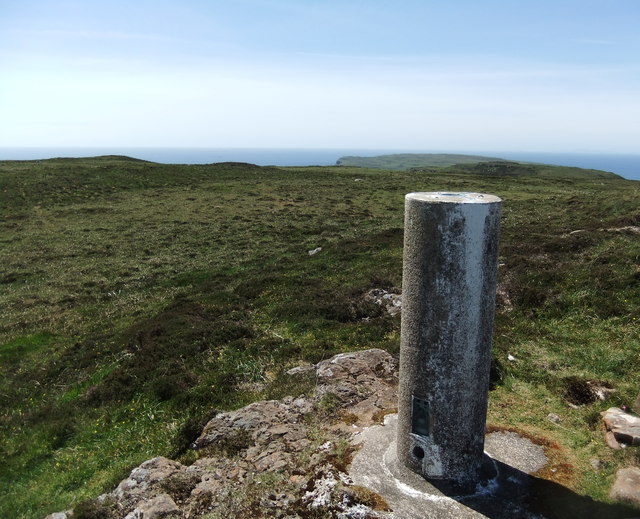
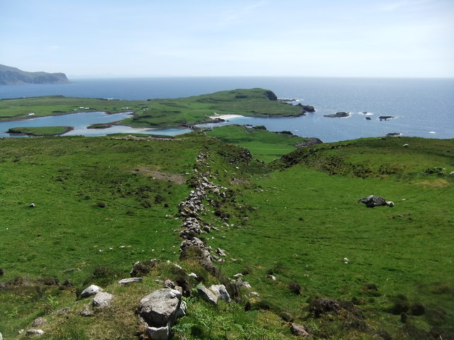
The landscape surrounding An Doirlinn is characterized by its stunning natural beauty. Lush green hills and mountains surround the bay, creating a picturesque backdrop. The bay itself is dotted with numerous small islands and islets, adding to its charm and providing a habitat for a variety of wildlife. Seals, otters, and dolphins are frequently spotted in the bay, delighting both locals and visitors alike.
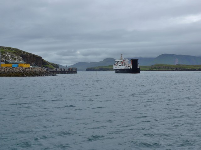
The waters of An Doirlinn are rich in marine life, making it a popular destination for fishing enthusiasts. Anglers can expect to catch a variety of fish, including mackerel, cod, and haddock. The bay is also a favored spot for sailing and boating, with its calm waters and breathtaking scenery offering a serene and peaceful setting for water-based activities.
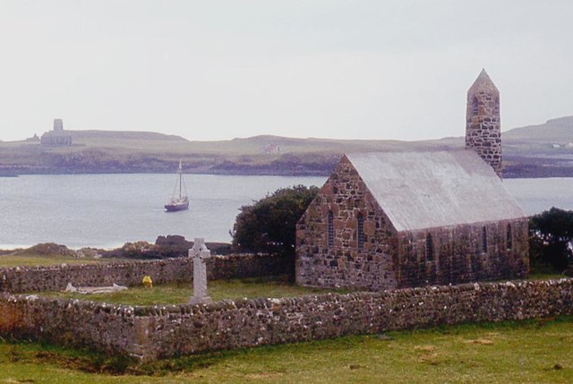
For those interested in history, An Doirlinn has its fair share of historical sites. The ruins of Duart Castle, a 13th-century fortress, can be found overlooking the bay. The castle offers a glimpse into Scotland's past and is a must-visit for history buffs.
Overall, An Doirlinn is a place of natural beauty, tranquility, and historical significance. Whether you're seeking outdoor adventures or simply wish to soak in the breathtaking scenery, this bay in Argyllshire is sure to captivate and leave a lasting impression.
If you have any feedback on the listing, please let us know in the comments section below.
An Doirlinn Images
Images are sourced within 2km of 57.053428/-6.5117677 or Grid Reference NG2604. Thanks to Geograph Open Source API. All images are credited.
An Doirlinn is located at Grid Ref: NG2604 (Lat: 57.053428, Lng: -6.5117677)
Unitary Authority: Highland
Police Authority: Highlands and Islands
What 3 Words
///latches.fizzy.patrolled. Near Elgol, Highland
Nearby Locations
Related Wikis

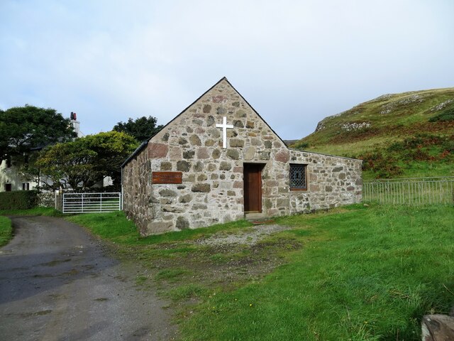
A' Chill
A' Chill was a village on Canna, in the Scottish Small Isles. The name means "the cell", referring to a Culdee church, and is often anglicised as "Kil...

St Edward's Church, Sanday
St Edward's Church, Sanday, is a deconsecrated, and now disused church on the small isle of Sanday, Inner Hebrides, Scotland. The church was a gift to...

St Columba's Church, Canna
St Columba's Church is a Category B listed building on the isle of Canna, in the Small Isles, Highland, Scotland. == History == Prior to the building of...
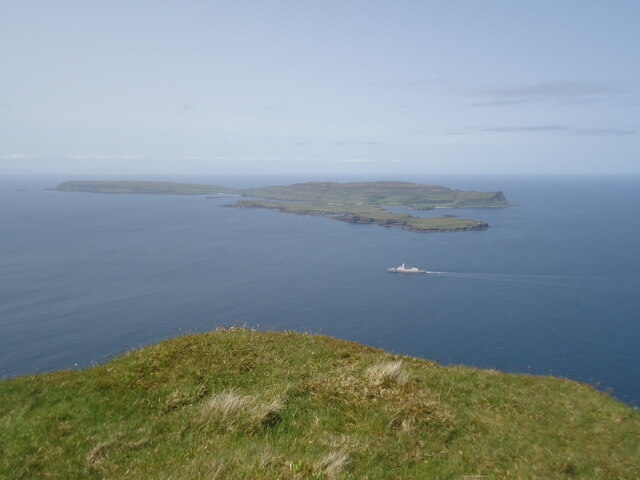
Sanday, Inner Hebrides
Sanday (Scottish Gaelic: Sandaigh; Scots: Sandee) is one of the Small Isles, in the Scottish Inner Hebrides. It is a tidal island linked to its larger...
Canna, Scotland
Canna (; Scottish Gaelic: Canaigh, Eilean Chanaigh) is the westernmost of the Small Isles archipelago, in the Scottish Inner Hebrides. It is linked to...
Nearby Amenities
Located within 500m of 57.053428,-6.5117677Have you been to An Doirlinn?
Leave your review of An Doirlinn below (or comments, questions and feedback).