Rock Creag Mhòr Cheann Hùlabhaig
Coastal Feature, Headland, Point in Ross-shire
Scotland
Rock Creag Mhòr Cheann Hùlabhaig
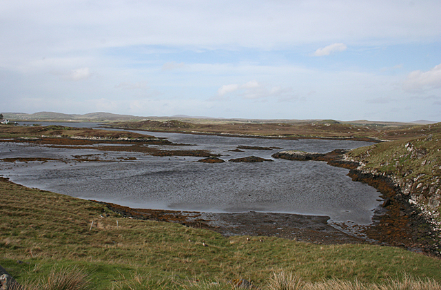
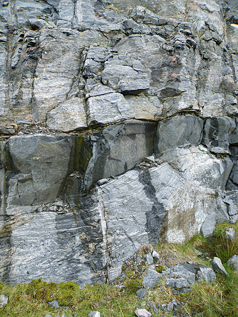
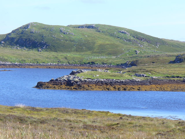
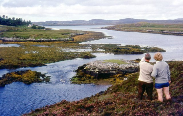
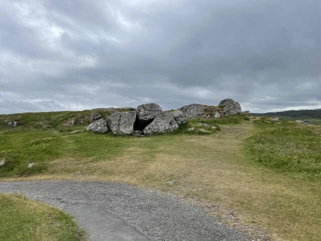
Rock Creag Mhòr Cheann Hùlabhaig is a prominent coastal feature located in Ross-shire, Scotland. It is an impressive headland that juts out into the sea, forming a distinct point along the coastline. The name "Creag Mhòr Cheann Hùlabhaig" translates to "Big Rock of Hùlapaig Head" in English, which appropriately describes the main geological characteristic of this site.
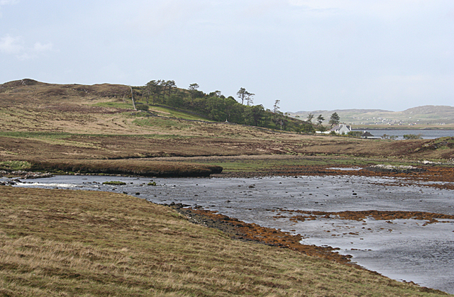
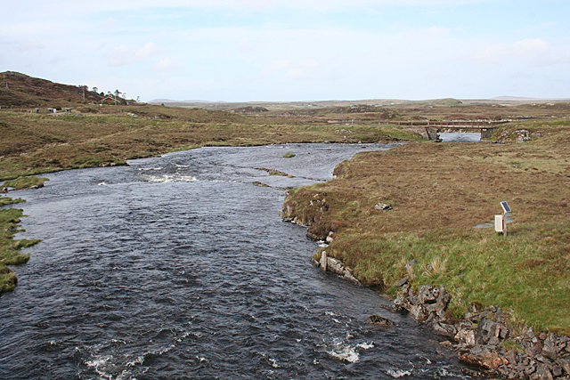
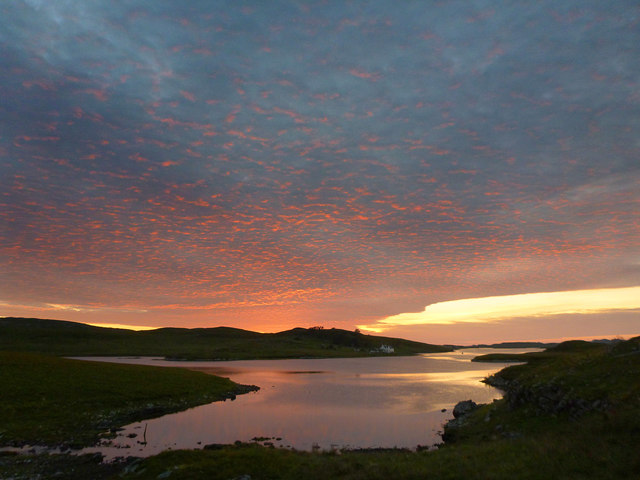
The headland is composed of ancient rock formations, primarily consisting of rugged cliffs and large boulders. These rocks are believed to have been formed millions of years ago through various geological processes, including erosion and tectonic activity. The headland's unique geology and elevation provide an excellent vantage point for breathtaking coastal views, making it a popular destination for sightseers and photographers.
The area surrounding Rock Creag Mhòr Cheann Hùlabhaig is known for its diverse wildlife and natural beauty. Seabirds, such as gulls and puffins, can often be seen nesting along the cliffs, while seals and dolphins are occasionally spotted swimming in the surrounding waters. The headland is also home to a variety of plant species, including hardy coastal vegetation that thrives in the harsh coastal conditions.
For outdoor enthusiasts, Rock Creag Mhòr Cheann Hùlabhaig offers opportunities for hiking and exploration. There are several walking trails that lead visitors along the coastline, providing stunning views of the sea and nearby islands. The headland is also a popular spot for fishing, with anglers often trying their luck from the rocks.
Overall, Rock Creag Mhòr Cheann Hùlabhaig is a remarkable coastal feature that showcases the rugged beauty and natural diversity of the Ross-shire coastline. Its impressive rock formations, abundant wildlife, and picturesque vistas make it a must-visit destination for nature lovers and adventure seekers alike.
If you have any feedback on the listing, please let us know in the comments section below.
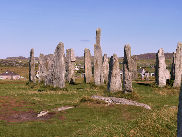
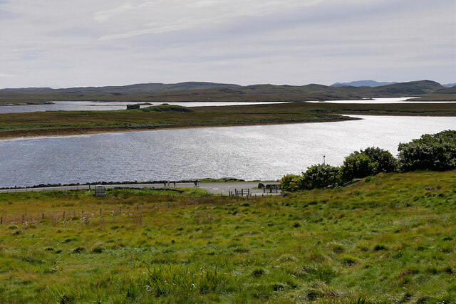
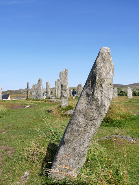
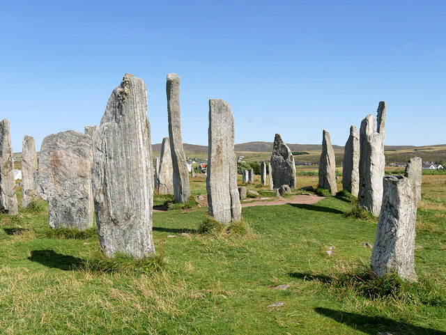
Rock Creag Mhòr Cheann Hùlabhaig Images
Images are sourced within 2km of 58.18399/-6.7250375 or Grid Reference NB2231. Thanks to Geograph Open Source API. All images are credited.

Rock Creag Mhòr Cheann Hùlabhaig is located at Grid Ref: NB2231 (Lat: 58.18399, Lng: -6.7250375)
Unitary Authority: Na h-Eileanan an Iar
Police Authority: Highlands and Islands
What 3 Words
///howler.roosters.regular. Near Carloway, Na h-Eileanan Siar
Related Wikis

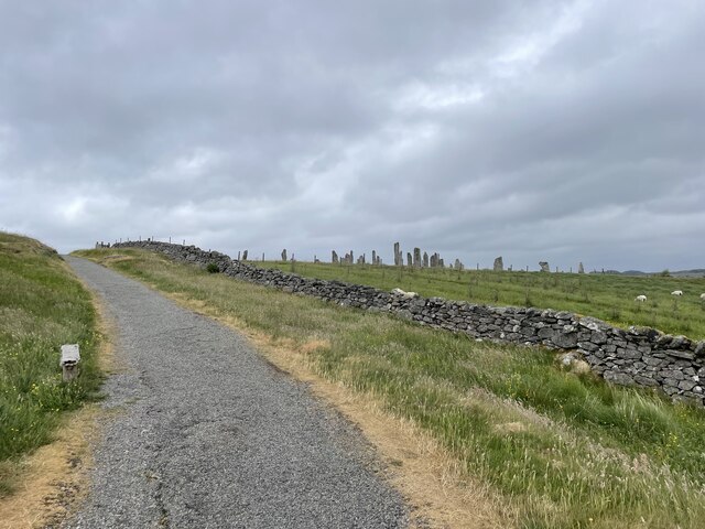
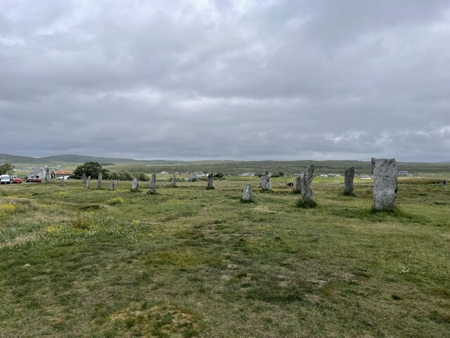
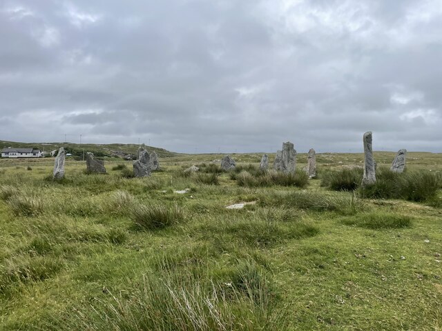
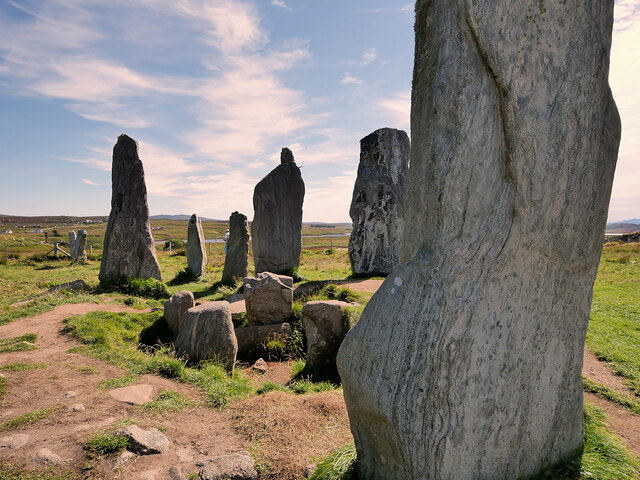
Callanish II
The Callanish II stone circle (Scottish Gaelic: Cnoc Ceann a' Gharaidh) is one of many megalithic structures around the better-known (and larger) Calanais...

Callanish IV
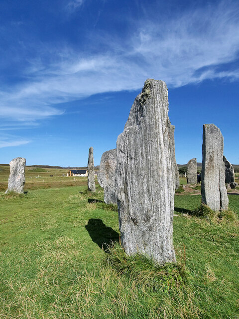
The Callanish IV stone circle (Scottish Gaelic: Ceann Hulavig) is one of many megalithic structures around the better-known (and larger) Calanais I on...

Callanish III
The Callanish III stone circle (Scottish Gaelic: Cnoc Fillibhir Bheag) is one of many megalithic structures around the better-known (and larger) Calanais...
Garynahine
Garynahine (Scottish Gaelic: Gearraidh na h-aibhne) is a settlement on Lewis, in the Outer Hebrides, Scotland. Garynahine is situated at a T-junction where...
Nearby Amenities
Located within 500m of 58.18399,-6.7250375Have you been to Rock Creag Mhòr Cheann Hùlabhaig?
Leave your review of Rock Creag Mhòr Cheann Hùlabhaig below (or comments, questions and feedback).