Garrisdale Point
Coastal Feature, Headland, Point in Argyllshire
Scotland
Garrisdale Point
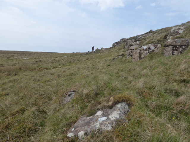
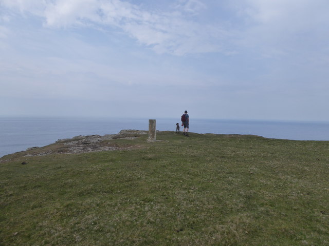
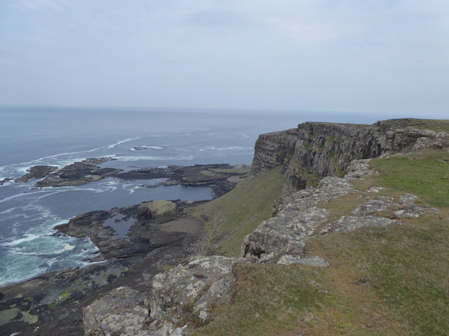
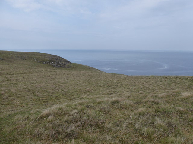
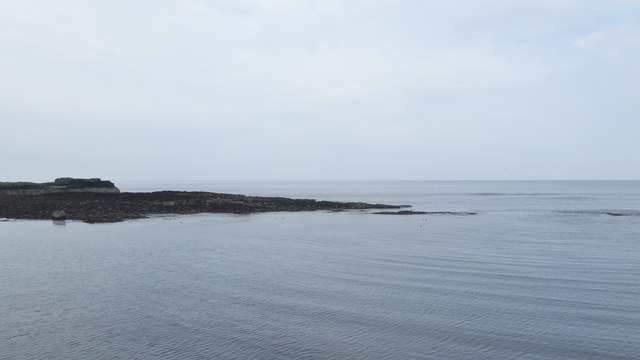
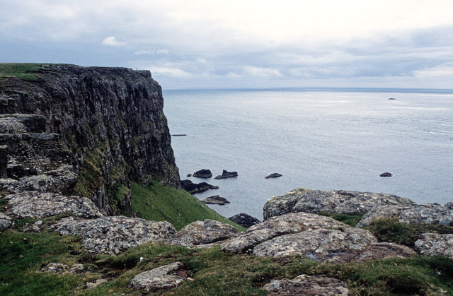
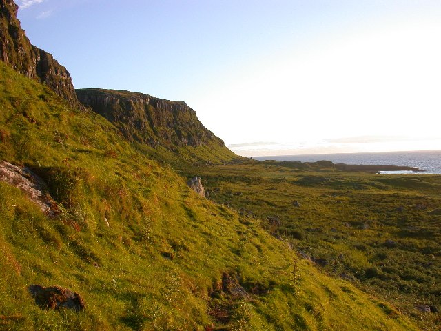
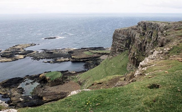
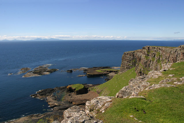
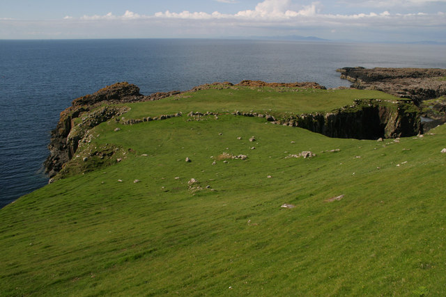
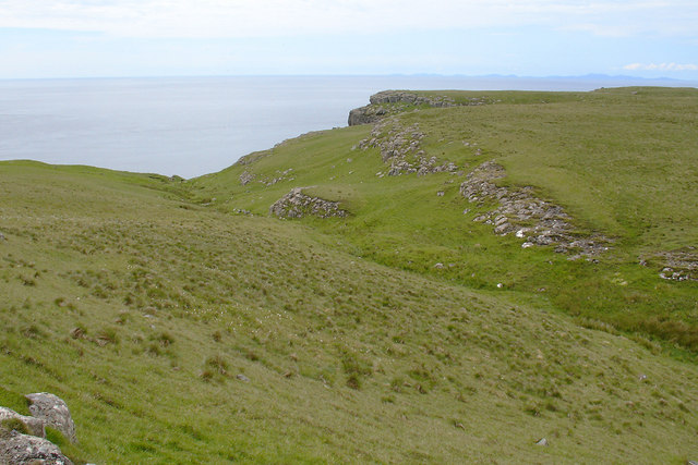
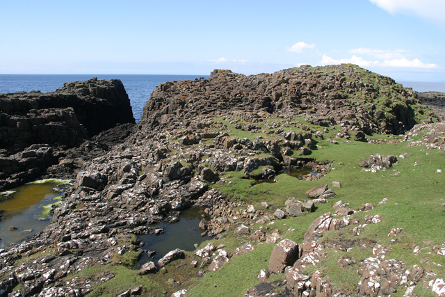
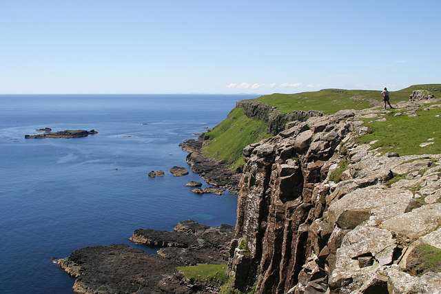
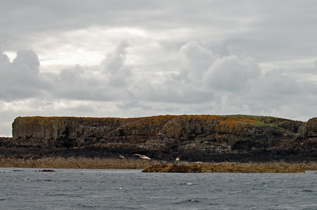
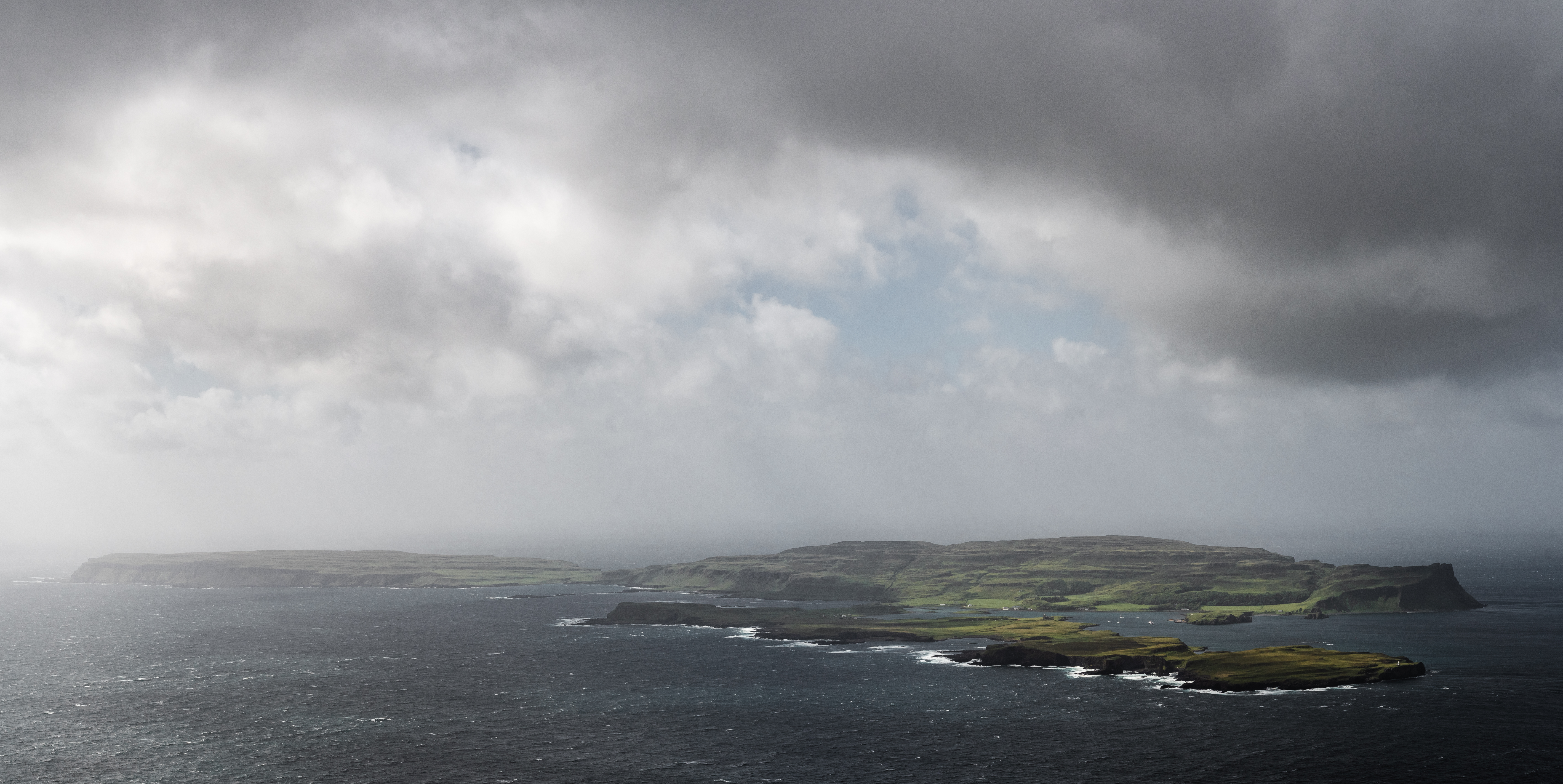
Garrisdale Point is a prominent headland located in Argyllshire, Scotland. Situated on the west coast of the country, this coastal feature juts out into the Atlantic Ocean, offering stunning views and natural beauty. The point is known for its rugged cliffs that reach heights of approximately 50 meters, providing a dramatic backdrop against the crashing waves below.
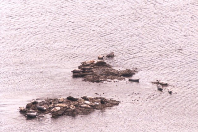
The headland is characterized by its rocky terrain, which is home to a diverse range of flora and fauna. Visitors to Garrisdale Point often observe various seabirds nesting in the cliffs, including gannets, kittiwakes, and fulmars. The surrounding waters are also teeming with marine life, making it a popular spot for fishing enthusiasts.
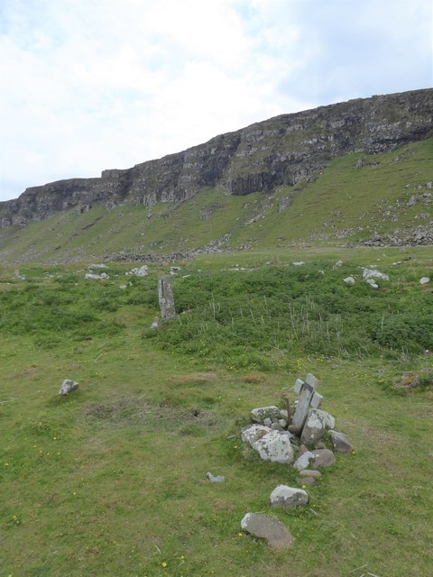
In addition to its natural appeal, Garrisdale Point holds historical significance. It is said to have been a strategic lookout point during ancient times, providing a vantage point for monitoring the surrounding waters and coastline. Today, remnants of an old fort can still be seen atop the headland, serving as a reminder of its past military importance.
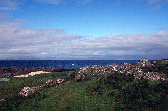
Access to Garrisdale Point is relatively easy, with a well-maintained coastal path that leads visitors to the headland. The path offers breathtaking views of the surrounding landscape, including nearby islands and the distant hills of Argyll. As a popular tourist destination, the area is equipped with parking facilities and picnic spots, allowing visitors to fully immerse themselves in the natural splendor that Garrisdale Point has to offer.
If you have any feedback on the listing, please let us know in the comments section below.
Garrisdale Point Images
Images are sourced within 2km of 57.049789/-6.6134549 or Grid Reference NG2004. Thanks to Geograph Open Source API. All images are credited.

Garrisdale Point is located at Grid Ref: NG2004 (Lat: 57.049789, Lng: -6.6134549)
Unitary Authority: Highland
Police Authority: Highlands and Islands
What 3 Words
///libraries.lectured.producers. Near Carbost, Highland
Nearby Locations
Related Wikis
Canna, Scotland
Canna (; Scottish Gaelic: Canaigh, Eilean Chanaigh) is the westernmost of the Small Isles archipelago, in the Scottish Inner Hebrides. It is linked to...

A' Chill
A' Chill was a village on Canna, in the Scottish Small Isles. The name means "the cell", referring to a Culdee church, and is often anglicised as "Kil...

St Edward's Church, Sanday
St Edward's Church, Sanday, is a deconsecrated, and now disused church on the small isle of Sanday, Inner Hebrides, Scotland. The church was a gift to...

St Columba's Church, Canna
St Columba's Church is a Category B listed building on the isle of Canna, in the Small Isles, Highland, Scotland. == History == Prior to the building of...
Sanday, Inner Hebrides
Sanday (Scottish Gaelic: Sandaigh; Scots: Sandee) is one of the Small Isles, in the Scottish Inner Hebrides. It is a tidal island linked to its larger...

Hyskeir
Hyskeir (Scottish Gaelic: Òigh-sgeir) or Heyskeir is a low-lying rocky islet (a skerry) in the Inner Hebrides, Scotland. The Hyskeir Lighthouse marks the...
Hyskeir Lighthouse
Hyskeir Lighthouse was established in 1904. The 39 metres (128 ft) metre high lighthouse marks the southern end of the Minch, warning of the presence of...
Garbh Sgeir
Garbh Sgeir (Gaelic: 'rough skerry') is a rock about 100 metres west of the islet Òigh-sgeir, in the Small Isles, Lochaber, Scotland. There is an anchorage...
Nearby Amenities
Located within 500m of 57.049789,-6.6134549Have you been to Garrisdale Point?
Leave your review of Garrisdale Point below (or comments, questions and feedback).