An Dòirlinn
Coastal Feature, Headland, Point in Argyllshire
Scotland
An Dòirlinn
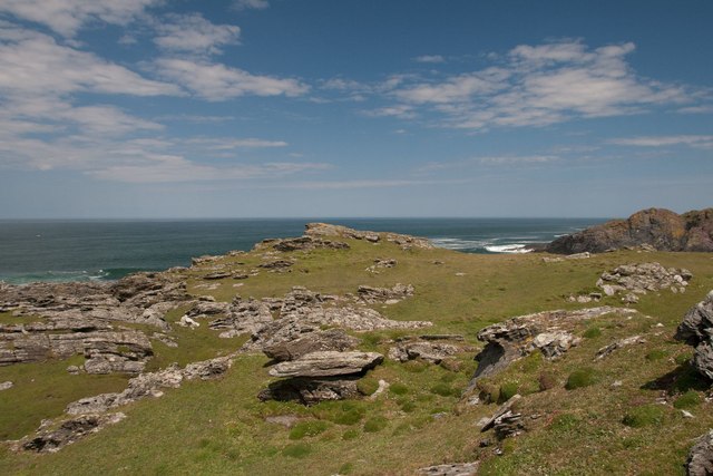
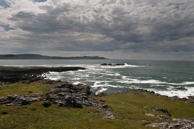
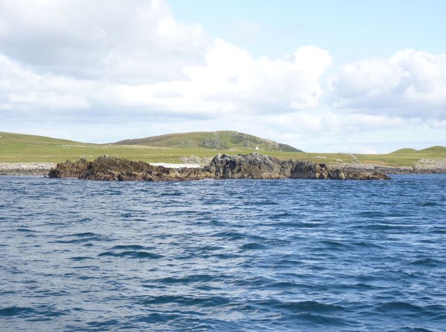
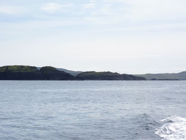
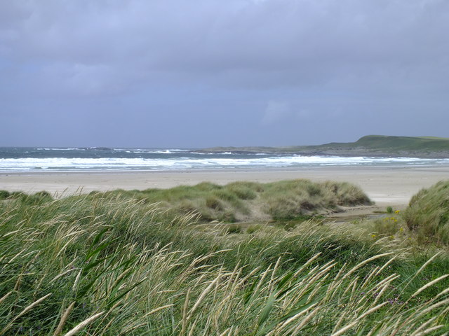
An Dòirlinn is a prominent coastal feature located in Argyllshire, Scotland. It is classified as a headland, also known as a point, and is renowned for its striking beauty and rugged landscape.
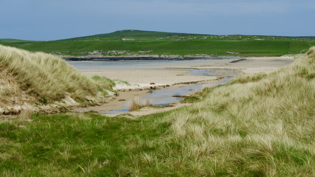
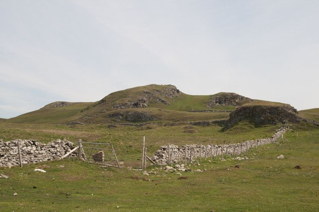
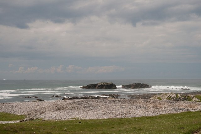
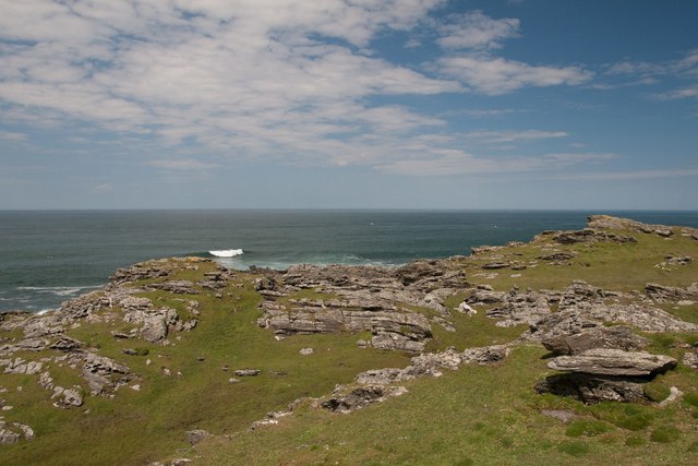
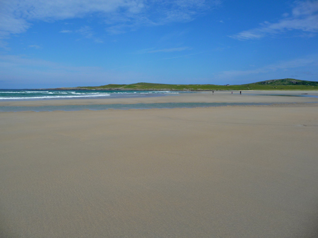
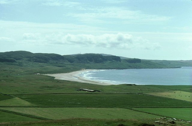
Situated on the western coast of Scotland, An Dòirlinn juts out into the Atlantic Ocean, offering breathtaking views of the surrounding area. The headland is characterized by towering cliffs that provide a dramatic backdrop against the crashing waves below. These cliffs are composed of ancient rock formations, showcasing the area's geological history.
An Dòirlinn is also home to a diverse range of flora and fauna, making it a haven for nature enthusiasts. The headland's exposed location attracts a variety of seabirds, including puffins, gannets, and guillemots, which nest along the cliff faces. The surrounding waters are teeming with marine life, and visitors might catch a glimpse of seals, dolphins, or even whales in the distance.
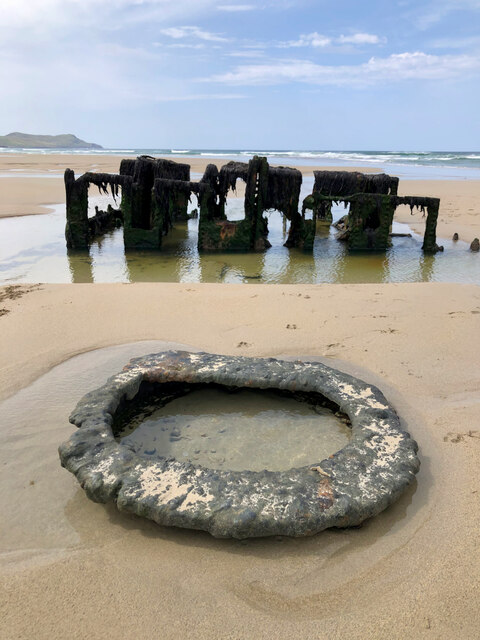
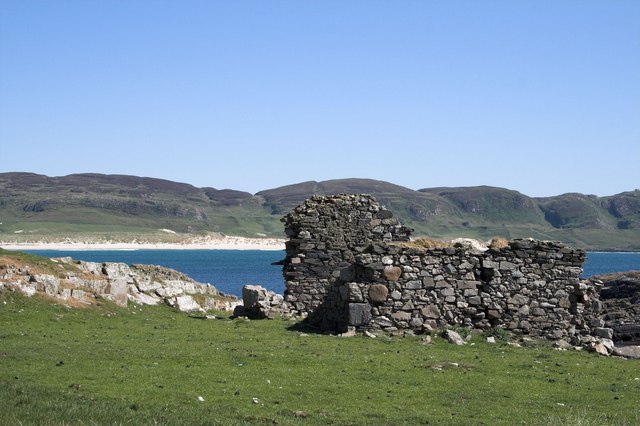
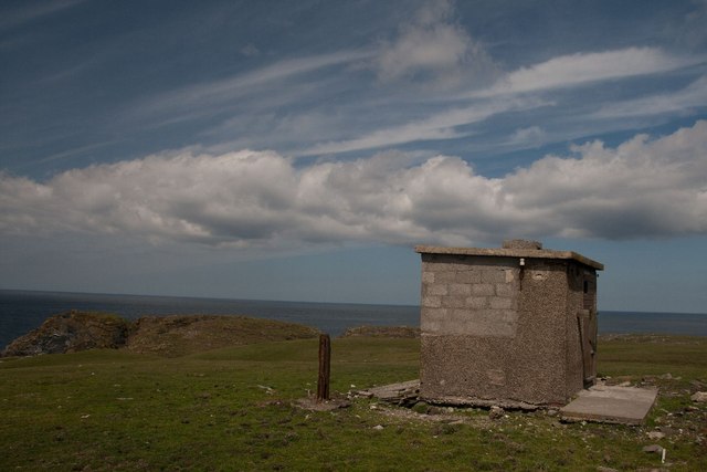
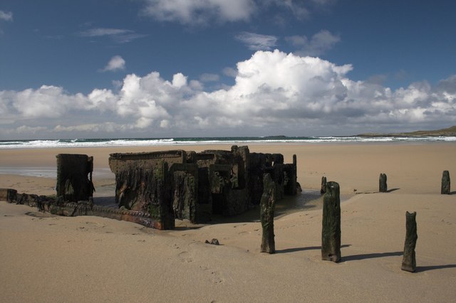
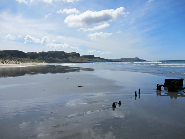
In addition to its natural beauty, An Dòirlinn holds historical significance. The headland is dotted with ancient ruins and archaeological sites, providing a glimpse into the area's rich cultural heritage. These remnants of the past include standing stones, burial cairns, and remnants of Iron Age settlements, offering visitors a chance to delve into Scotland's intriguing history.
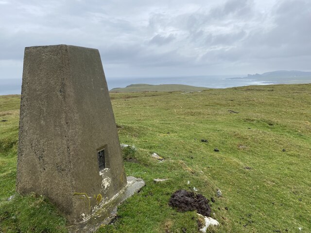
An Dòirlinn is a popular destination for outdoor enthusiasts and photographers, who are drawn to its scenic vistas, abundant wildlife, and historical allure. Whether exploring the rugged coastline, observing the diverse wildlife, or immersing oneself in the area's history, An Dòirlinn offers a captivating experience for all who visit.
If you have any feedback on the listing, please let us know in the comments section below.
An Dòirlinn Images
Images are sourced within 2km of 55.788382/-6.4855678 or Grid Reference NR1864. Thanks to Geograph Open Source API. All images are credited.

An Dòirlinn is located at Grid Ref: NR1864 (Lat: 55.788382, Lng: -6.4855678)
Unitary Authority: Argyll and Bute
Police Authority: Argyll and West Dunbartonshire
What 3 Words
///named.apartment.enchanted. Near Port Charlotte, Argyll & Bute
Nearby Locations
Related Wikis

HMS Graph
HMS Graph (pennant number P715) was a German Type VIIC U-boat that the British Royal Navy captured during World War II. Commissioned as U-570 in Nazi Germany...

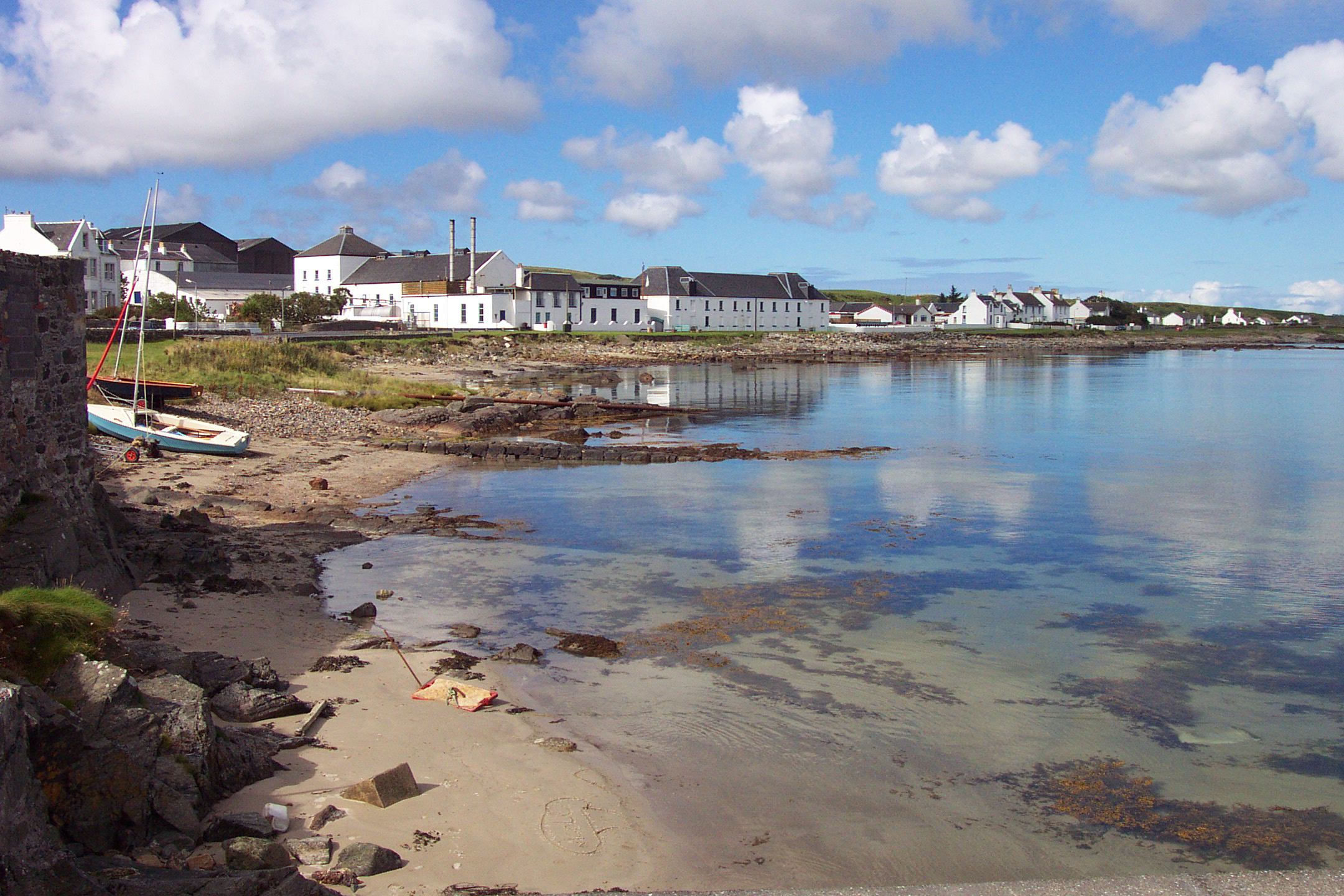
Kilchoman
Kilchoman ( kil-(K)HOM-ən; Scottish Gaelic: Cill Chomain [kʲʰiːʎ ˈxɔmɛɲ]) is a small settlement and large parish on the Scottish island of Islay, within...

RAF Kilchiaran
RAF Kilchiaran was a Royal Air Force radar station situated on the Isle of Islay in Scotland. It was originally active from 1940-1945. In 1954 the base...

Kilchoman distillery
Kilchoman distillery (pronounced Kil-ho-man) is a distillery that produces single malt Scotch whisky on Islay, an island of the Inner Hebrides. Kilchoman...

Loch Gorm Castle
Loch Gorm Castle is a ruined castle located on Eilean Mòr (big island) on Loch Gorm, Islay, Scotland. It was once a stronghold of Clan Macdonald. The castle...

Rinns of Islay
The Rinns of Islay (Scottish Gaelic: Na Roinn Ìleach; alternative English spelling Rhinns of Islay) is an area on the west of the island of Islay in the...
Bruichladdich distillery
Bruichladdich distillery ( bruukh-LAD-ee; Scottish Gaelic: [pɾuə'xl̪ˠat̪ɪç]) is a distillery on the Rhinns of the isle of Islay in Scotland. The distillery...

A847 road
The A847 road is one of the two principal roads of Islay in the Inner Hebrides off the west coast of mainland Scotland. It connects Bridgend, at a junction...
Nearby Amenities
Located within 500m of 55.788382,-6.4855678Have you been to An Dòirlinn?
Leave your review of An Dòirlinn below (or comments, questions and feedback).