Ramarageo
Coastal Feature, Headland, Point in Ross-shire
Scotland
Ramarageo

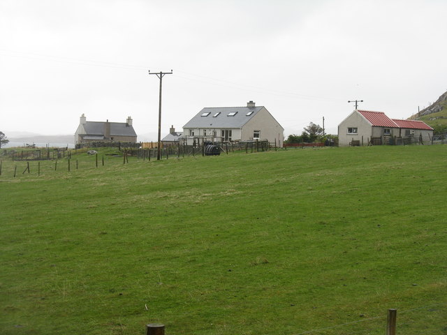
Ramarageo is a prominent headland located in Ross-shire, a county in the northern part of Scotland. Situated on the eastern coast, this coastal feature juts out into the North Sea, offering breathtaking views and a unique geological formation.
Standing at an elevation of around 100 meters above sea level, Ramarageo is characterized by its steep cliffs that overlook the surrounding waters. These cliffs are composed of rugged sandstone and shale, displaying various layers of sedimentary rock that have been shaped by erosion over thousands of years. The headland's exposed rock formations are a testament to the area's geological history and provide a rich resource for geologists and nature enthusiasts alike.
The coastal feature is also home to a diverse range of flora and fauna. The cliff faces provide nesting sites for seabirds such as kittiwakes, fulmars, and guillemots, while the surrounding waters are inhabited by seals and dolphins. The headland's coastal grasslands are dotted with wildflowers, creating a vibrant and picturesque landscape.
Ramarageo is a popular destination for hikers and nature lovers, offering several walking trails that provide stunning views of the coastline and the nearby coastal villages. The headland's strategic location also makes it an ideal spot for birdwatching, with many rare and migratory species being spotted throughout the year.
In conclusion, Ramarageo is a remarkable coastal feature that encompasses the natural beauty and geological significance of Ross-shire. Its towering cliffs, diverse wildlife, and stunning views make it a must-visit location for anyone exploring the Scottish coastline.
If you have any feedback on the listing, please let us know in the comments section below.
Ramarageo Images
Images are sourced within 2km of 58.241174/-6.7934016 or Grid Reference NB1838. Thanks to Geograph Open Source API. All images are credited.


Ramarageo is located at Grid Ref: NB1838 (Lat: 58.241174, Lng: -6.7934016)
Unitary Authority: Na h-Eileanan an Iar
Police Authority: Highlands and Islands
What 3 Words
///smarter.skid.declining. Near Carloway, Na h-Eileanan Siar
Related Wikis

Tolsta Chaolais
Tolsta Chaolais (also Tolastadh Chaolais, Tolstadh a' Chaolais) is a village on the Isle of Lewis, Scotland. It consists of about forty houses, clustered...

Breaclete
Breacleit (or Roulanish; Scottish Gaelic: Breacleit; Old Norse: Breiðiklettr) is the central village on Great Bernera in the Outer Hebrides, Scotland....

Ceabhaigh
Ceabhaigh is a small island in an arm of Loch Ròg on the west coast of Lewis in the Outer Hebrides of Scotland. It is about 25 hectares (62 acres) in extent...

Dun Carloway
Dun Carloway (Scottish Gaelic: Dùn Chàrlabhaigh) is a broch situated in the district of Carloway, on the west coast of the Isle of Lewis, Scotland (grid...
Great Bernera
Great Bernera (; Scottish Gaelic: Beàrnaraigh Mòr), often known just as Bernera (Scottish Gaelic: Beàrnaraigh), is an island and community in the Outer...

Breasclete
Breasclete (Scottish Gaelic: Brèascleit) is a village and community on the west side of the Isle of Lewis, in the Outer Hebrides, Scotland. Breasclete...

Dun Bharabhat, Great Bernera
Dun Bharabhat (or Dun Baravat) is an Iron Age galleried dun or "semi-broch" situated on the island of Great Bernera near Lewis in Scotland (grid reference...

Borrowston, Lewis
Borrowston (Scottish Gaelic: Borghastan), with a population of about 50, is a crofting township situated on the Isle of Lewis, on the Outer Hebrides of...
Nearby Amenities
Located within 500m of 58.241174,-6.7934016Have you been to Ramarageo?
Leave your review of Ramarageo below (or comments, questions and feedback).