Àird Buidhe

Coastal Feature, Headland, Point in Inverness-shire

Scotland

Àird Buidhe

Drinishader A bay on the west side of islet-studded Loch Tairbeart, the largest of the sea-lochs on the east side of Harris.
Drinishader Credit: Anne Burgess

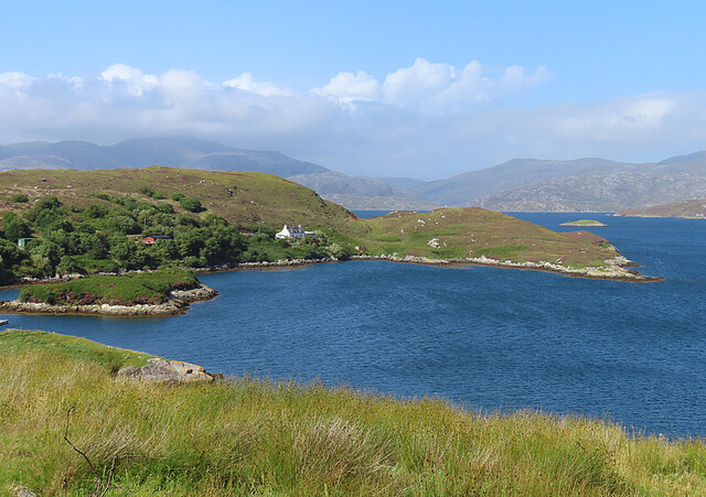
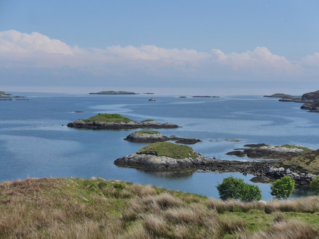
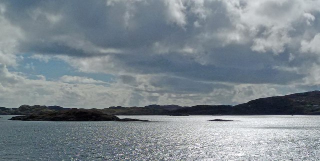
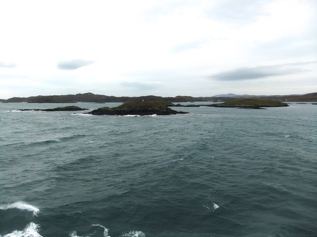
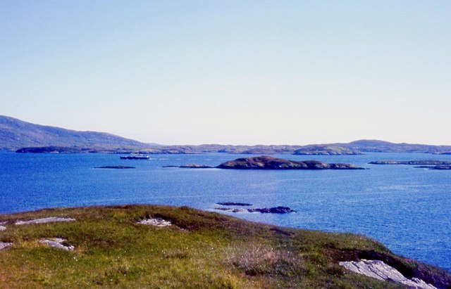
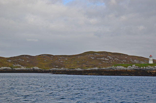
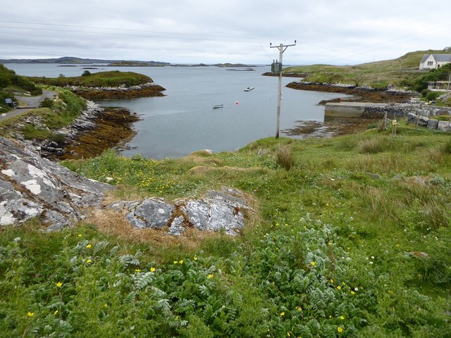
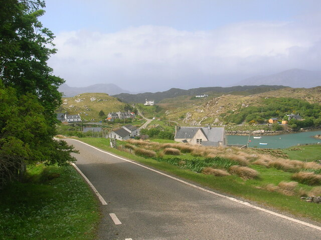
Àird Buidhe is a prominent coastal feature located in Inverness-shire, Scotland. It is a captivating headland that juts out into the North Atlantic Ocean, offering breathtaking views and a unique landscape. The name Àird Buidhe translates to "yellow headland" in Gaelic, which perfectly describes the distinctive yellowish hue of the rocks that make up this point.

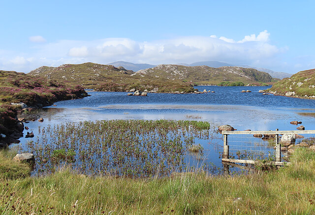
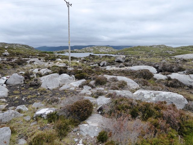
Situated on the west coast of Scotland, Àird Buidhe is known for its rugged and dramatic cliffs that rise dramatically from the sea. These cliffs are composed of sedimentary rocks, mainly sandstone and limestone, which have been shaped and carved by the relentless waves and weathering over the centuries.

The headland is a haven for nature enthusiasts and outdoor adventurers due to its diverse wildlife and picturesque surroundings. Visitors can spot various seabirds, including puffins, gannets, and guillemots, nesting on the cliffs. The area also attracts seals, dolphins, and occasional sightings of whales, adding to the allure of this coastal gem.

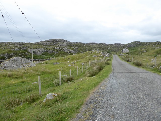
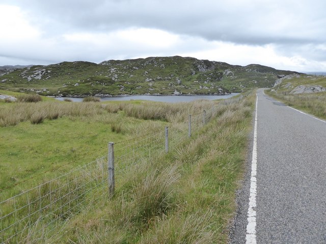
Hiking trails and walking paths provide access to explore the headland and its stunning vistas. One of the most popular paths leads to a viewpoint at the tip of Àird Buidhe, offering panoramic views of the ocean, nearby islands, and the surrounding Scottish Highlands.

Due to its exposed location, Àird Buidhe can experience harsh weather conditions, including strong winds and heavy rainfall. Therefore, visitors are advised to come prepared with appropriate clothing and footwear to fully enjoy the rugged beauty of this coastal feature.

If you have any feedback on the listing, please let us know in the comments section below.

Àird Buidhe Images

Images are sourced within 2km of 57.857385/-6.7633822 or Grid Reference NG1795. Thanks to Geograph Open Source API. All images are credited.

Drinishader A bay on the west side of islet-studded Loch Tairbeart, the largest of the sea-lochs on the east side of Harris.
Drinishader
A bay on the west side of islet-studded Loch Tairbeart, the largest of the sea-lochs on the east side of Harris.
Loch Drinisiadair This is just the southern tip of one of the larger lochs in eastern Harris.
Loch Drinisiadair
This is just the southern tip of one of the larger lochs in eastern Harris.
In the driving seat of the Hattersley Mk1 at Drinisiadar Built in Keighley, West Yorkshire and one time Luddite bait the loom was designed by George Hattersley and from 1919 to the present has proved a godsend to the people of Harris.
In the driving seat of the Hattersley Mk1 at Drinisiadar
Built in Keighley, West Yorkshire and one time Luddite bait the loom was designed by George Hattersley and from 1919 to the present has proved a godsend to the people of Harris.
All trades their gear, tackle, and trim.. The loom and some of the products at the exhibition at Drinisiadar.
All trades their gear, tackle, and trim..
The loom and some of the products at the exhibition at Drinisiadar.
Original Harris Tweed Introduced to Harris in 1919 the Hattersley cottage loom which was manufactured by George Hattersley of Keighley, West Yorkshire and proved a godsend for the people of Harris.
Original Harris Tweed
Introduced to Harris in 1919 the Hattersley cottage loom which was manufactured by George Hattersley of Keighley, West Yorkshire and proved a godsend for the people of Harris.
Nostalgia's not what it used to be! If ever a poem ran in parallel with Yeats' Lake Isle of Innisfree then this is the one.
Nostalgia's not what it used to be!
If ever a poem ran in parallel with Yeats' Lake Isle of Innisfree then this is the one.
The Spinning Wheels of Harris Before you weave, first spin the wool.
The Spinning Wheels of Harris
Before you weave, first spin the wool.
Islands and skerries off Drinishader Not quite a painted ship on a painted ocean, but close;  there is a fishing boat dead-centre in this image.
Islands and skerries off Drinishader
Not quite a painted ship on a painted ocean, but close; there is a fishing boat dead-centre in this image.
Gloraig Dhubh, Loch an Tairbeairt, Harris The northern (right hand) tip of Gloraig Dhubh, the larger skerry, and the whole of the smaller skerry lie within the grid square.
Gloraig Dhubh, Loch an Tairbeairt, Harris
The northern (right hand) tip of Gloraig Dhubh, the larger skerry, and the whole of the smaller skerry lie within the grid square.
Dun Corr Mor
Dun Corr Mor
South end of Loch Drinisiadair
Rubha na Mòine The ferry heading in to Tarbert past the Gloraigs.
Rubha na Mòine
The ferry heading in to Tarbert past the Gloraigs.
Sgeotasaigh Sgeotasaigh, or Scotsay, is an island west of Scalpay in East Loch Tarbert. The light on the right of the image is on Sgeir Ghlas in NG1896.
Sgeotasaigh
Sgeotasaigh, or Scotsay, is an island west of Scalpay in East Loch Tarbert. The light on the right of the image is on Sgeir Ghlas in NG1896.
Minor road among rock outcrops east of Meavag
Rocks and heather next to the 'Golden Road' looking towards Loch Drinisiadair
The harbour at Drinisiadair
Minor road approaching Plocrapool
Drinishader on The Golden Road Wonderful cycling southwards from Tarbert.
Drinishader on The Golden Road
Wonderful cycling southwards from Tarbert.
Show me another place!

Àird Buidhe is located at Grid Ref: NG1795 (Lat: 57.857385, Lng: -6.7633822)

Unitary Authority: Na h-Eileanan an Iar

Police Authority: Highlands and Islands

What 3 Words

///dine.reward.clerk. Near Tarbert, Na h-Eileanan Siar

Related Wikis

East Loch Tarbert

East Loch Tarbert (Scottish Gaelic: Loch an Tairbeairt) is a sea loch that lies to the east of Harris in the Outer Hebrides of Scotland. The loch contains...

Sgeotasaigh

Scotasay (Scottish Gaelic: Sgeotasaigh) is small island in the Outer Hebrides of Scotland. It lies 1 kilometre (0.6 miles) off the east coast of Harris...

Harris distillery

Harris distillery is a Scotch whisky and Gin distillery in Tarbert on the Isle of Harris, Scotland. The distillery was the first legal distillery ever...

Scalpay, Outer Hebrides

Scalpay (; Scottish Gaelic: Sgalpaigh or Sgalpaigh na Hearadh; i.e. "Scalpay of Harris" to distinguish it from Scalpay off Skye) is an island in the Outer...

Nearby Amenities

Located within 500m of 57.857385,-6.7633822
Created By: dmgroom_coastlines
Lat/Long: 57.8541/-6.76769
Turning Circle
Lat/Long: 57.8559412/-6.7663554
Barrier: cattle_grid
Lat/Long: 57.8572012/-6.7715607
Barrier: cattle_grid
Lat/Long: 57.853816/-6.7685009
Material: wood
Power: pole
Lat/Long: 57.8570991/-6.7712362
Material: wood
Power: pole
Lat/Long: 57.8564432/-6.7714857
Material: wood
Power: pole
Lat/Long: 57.8553261/-6.7669708
Material: wood
Power: pole
Lat/Long: 57.8556958/-6.7665819
Material: wood
Power: pole
Lat/Long: 57.8541655/-6.7682583
Material: wood
Power: pole
Lat/Long: 57.8545273/-6.7678921
Material: wood
Power: pole
Lat/Long: 57.8549155/-6.7674402
Material: wood
Power: pole
Lat/Long: 57.8559751/-6.766311
Turning Circle
Lat/Long: 57.8591837/-6.7704556
Power: pole
Lat/Long: 57.8579787/-6.7708849
Power: pole
Lat/Long: 57.8588976/-6.7705483
Power: pole
Lat/Long: 57.8594704/-6.7705455
Rubha na Buaile
Natural: cape
Lat/Long: 57.8614033/-6.7644926
Aird Buidhe
Natural: cape
Lat/Long: 57.8573565/-6.7632266
The data included in this document is from www.openstreetmap.org. The data is made available under ODbL.

Have you been to Àird Buidhe?

Leave your review of Àird Buidhe below (or comments, questions and feedback).