Eilean Dubh

Coastal Feature, Headland, Point in Inverness-shire

Scotland

Eilean Dubh

Loch Chliuthair This inlet opens in to Loch Cluer, another of the eastern Harris sea-lochs.
Loch Chliuthair Credit: Anne Burgess

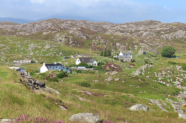
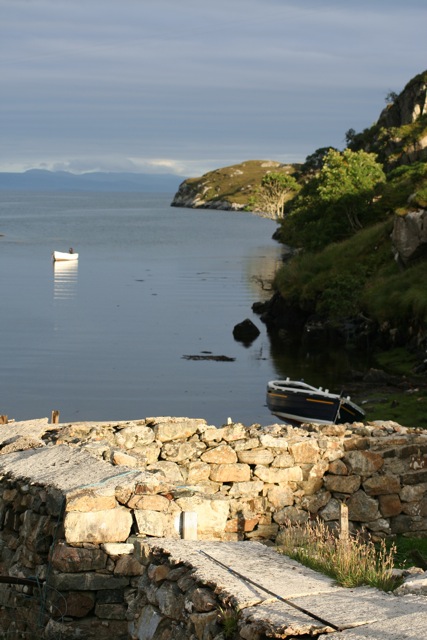
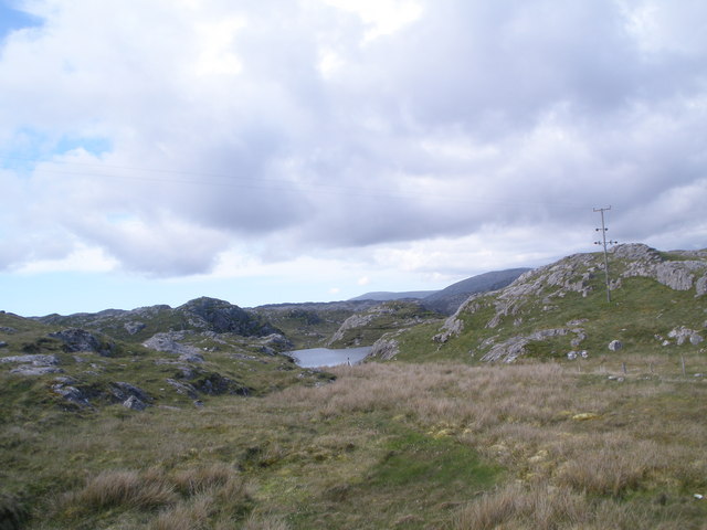
Eilean Dubh, located in Inverness-shire, Scotland, is a picturesque coastal feature that serves as a headland and point. Situated along the eastern coast of the country, this stunning destination offers breathtaking views and a rich historical background.

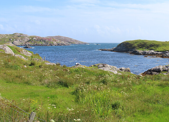
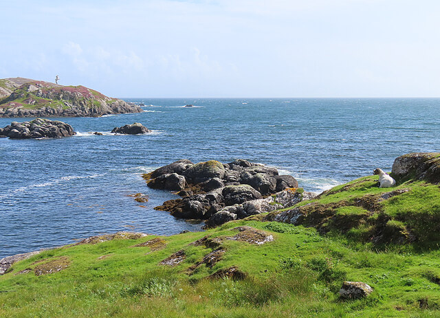
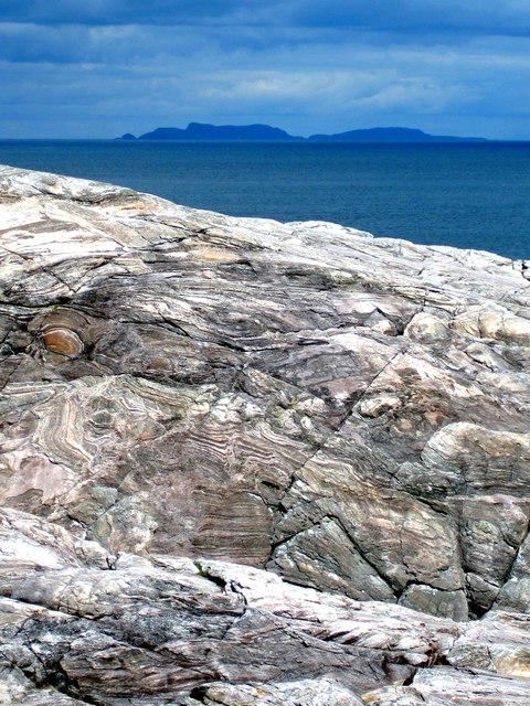
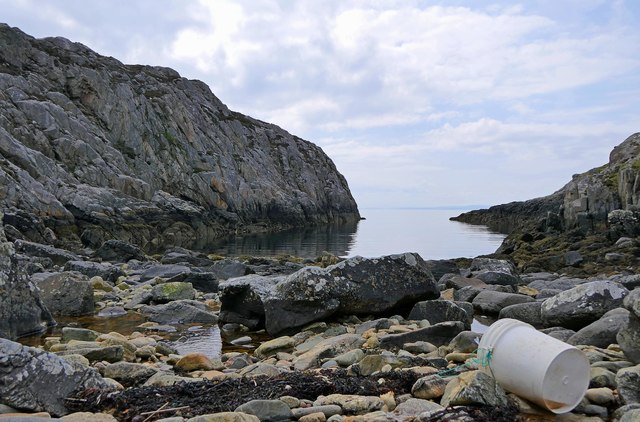
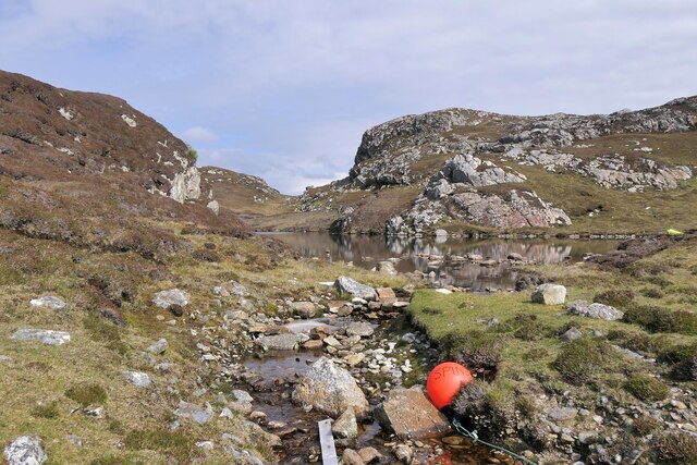
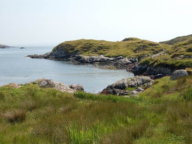
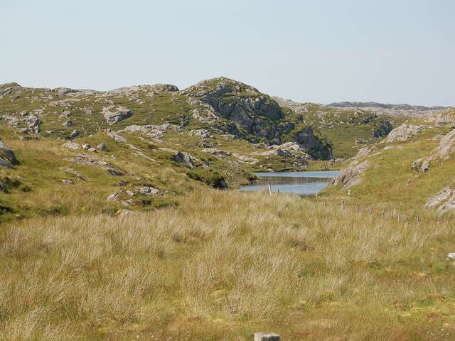
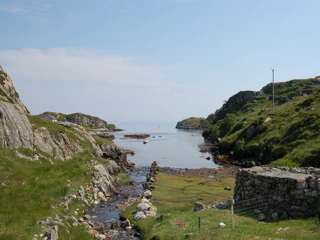
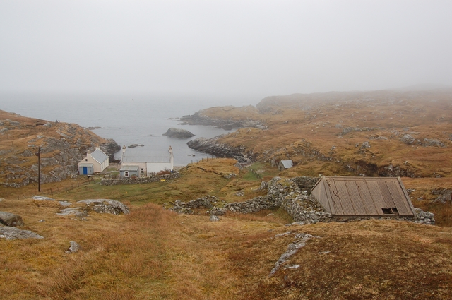
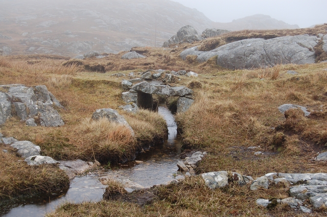
Eilean Dubh is characterized by its rugged cliffs, rocky terrain, and pristine beaches. The headland juts out into the North Sea, providing visitors with panoramic vistas of the surrounding coastal landscape. The point is adorned with lush greenery, creating a harmonious blend of nature and rugged beauty.

The area is home to a diverse range of flora and fauna, making it a haven for wildlife enthusiasts. Visitors may spot various bird species, including puffins, guillemots, and razorbills, nesting along the cliffs. Grey seals are also commonly seen basking on the rocks, adding to the area's natural allure.

In addition to its natural splendor, Eilean Dubh boasts a rich historical significance. The headland was once inhabited by ancient civilizations, and remains of their settlements can still be found. These archaeological sites offer a glimpse into the area's past, providing a fascinating insight into the lives of its early inhabitants.

Eilean Dubh is a popular destination for outdoor activities such as hiking, birdwatching, and photography. The headland's network of trails allows visitors to explore its stunning landscapes and discover hidden gems along the way. Whether it's capturing the beauty of the sunset, observing wildlife in their natural habitat, or simply enjoying a peaceful walk along the coastline, Eilean Dubh offers a memorable and enriching experience for all who visit.

If you have any feedback on the listing, please let us know in the comments section below.

Eilean Dubh Images

Images are sourced within 2km of 57.812004/-6.7833906 or Grid Reference NG1690. Thanks to Geograph Open Source API. All images are credited.

Loch Chliuthair This inlet opens in to Loch Cluer, another of the eastern Harris sea-lochs.
Loch Chliuthair
This inlet opens in to Loch Cluer, another of the eastern Harris sea-lochs.
Loch Cluer Loch Chliuthair in Gaelic takes its name from the village of Cliuthar, anglicised as Cluer.
Loch Cluer
Loch Chliuthair in Gaelic takes its name from the village of Cliuthar, anglicised as Cluer.
Collam A handful of houses beside Loch Ghreosabhaigh.
Collam
A handful of houses beside Loch Ghreosabhaigh.
Fish Farm In the outer part of Loch Ghreosabhagh. I take it that the poles and nets are to discourage birds form taking the fish.
Fish Farm
In the outer part of Loch Ghreosabhagh. I take it that the poles and nets are to discourage birds form taking the fish.
Lewisian Gneiss with the Shiant Isles behind Magnificent swirls of Lewisian Gneiss just south of Mol Ban in South Harris.
Lewisian Gneiss with the Shiant Isles behind
Magnificent swirls of Lewisian Gneiss just south of Mol Ban in South Harris.
Mol Bhi, Harris Mol Bhi (or Mol Vee) is an inlet on Loch Ghreosabhagh.
Mol Bhi, Harris
Mol Bhi (or Mol Vee) is an inlet on Loch Ghreosabhagh.
Outflow from Loch Chumain, Harris The buoy is from a boat called Spindrift, possibly SY128, a Stornoway registered potter (boat used to catch shellfish).
Outflow from Loch Chumain, Harris
The buoy is from a boat called Spindrift, possibly SY128, a Stornoway registered potter (boat used to catch shellfish).
The head of Loch Cliuthair
Loch na Buaile A small loch in a marshy hollow near Cliuthar.
Loch na Buaile
A small loch in a marshy hollow near Cliuthar.
The head of Loch Chollaim The burn entering the sea here has been canalised to the left side of the head of the loch to provide some flat dry ground for sheep fanks, the edge of which can be seen on the right.
The head of Loch Chollaim
The burn entering the sea here has been canalised to the left side of the head of the loch to provide some flat dry ground for sheep fanks, the edge of which can be seen on the right.
Mol Ban Amazingly, in my opinion, the only access to this house is along a kilometre of ancient cart track. It is possible to use a wheelbarrow of the type with a ball for a wheel, but that apart no vehicles can get here - not even quads.
The photograph is taken from, and looking along, the end of the grassy track.
Mol Ban
Amazingly, in my opinion, the only access to this house is along a kilometre of ancient cart track. It is possible to use a wheelbarrow of the type with a ball for a wheel, but that apart no vehicles can get here - not even quads. The photograph is taken from, and looking along, the end of the grassy track.
Bridge on the track to Mol Ban The ancient cart track to Mol Ban <a href="https://www.geograph.org.uk/photo/396118">NG1590 : Mol Ban</a> crosses several burns by way of beautifully constructed stone bridges such as this.
Bridge on the track to Mol Ban
The ancient cart track to Mol Ban NG1590 : Mol Ban crosses several burns by way of beautifully constructed stone bridges such as this.
Loch Chollaim, Isle of Harris
Loch view from Collom, Isle of Harris
Loch na h-Airidh
Loch na h-Airidh
House at Cliuthar
House at Cliuthar
Loch na Buaile
Loch na Buaile
Loch na h'Airidh This lochan is typical of those in east Harris - small, quite shallow, with boggy margins and populated by bog bean and water lilies. Its name means 'loch of the shieling' which seems a little odd, as it is so close to permanent habitation.
Loch na h'Airidh
This lochan is typical of those in east Harris - small, quite shallow, with boggy margins and populated by bog bean and water lilies. Its name means 'loch of the shieling' which seems a little odd, as it is so close to permanent habitation.
Show me another place!

Eilean Dubh is located at Grid Ref: NG1690 (Lat: 57.812004, Lng: -6.7833906)

Unitary Authority: Na h-Eileanan an Iar

Police Authority: Highlands and Islands

What 3 Words

///superbly.visits.pays. Near Tarbert, Na h-Eileanan Siar

Related Wikis

Stockinish Island

Stockinish Island (Scottish Gaelic: Eilean Stocainis) is an uninhabited island off Harris, in the Outer Hebrides. == Geography and geology == Stockinish...

East Loch Tarbert

East Loch Tarbert (Scottish Gaelic: Loch an Tairbeairt) is a sea loch that lies to the east of Harris in the Outer Hebrides of Scotland. The loch contains...

Sgeotasaigh

Scotasay (Scottish Gaelic: Sgeotasaigh) is small island in the Outer Hebrides of Scotland. It lies 1 kilometre (0.6 miles) off the east coast of Harris...

Scalpay, Outer Hebrides

Scalpay (; Scottish Gaelic: Sgalpaigh or Sgalpaigh na Hearadh; i.e. "Scalpay of Harris" to distinguish it from Scalpay off Skye) is an island in the Outer...

Nearby Amenities

Located within 500m of 57.812004,-6.7833906
Power: pole
Lat/Long: 57.8105505/-6.7902244
Power: pole
Lat/Long: 57.8113867/-6.790277
Power: pole
Lat/Long: 57.812095/-6.7907878
The data included in this document is from www.openstreetmap.org. The data is made available under ODbL.

Have you been to Eilean Dubh?

Leave your review of Eilean Dubh below (or comments, questions and feedback).