Rubha na h-Eubhaich

Coastal Feature, Headland, Point in Ross-shire

Scotland

Rubha na h-Eubhaich

Great Bernera bridges The new bridge under construction and the old white bridge.
Great Bernera bridges Credit: Catherine Morgan

Rubha na h-Eubhaich, located in Ross-shire, Scotland, is a prominent coastal feature that encompasses a headland and point along the rugged coastline. Situated on the western coast of Scotland, Rubha na h-Eubhaich offers breathtaking panoramic views of the surrounding landscape.

The headland is characterized by its rocky cliffs and jagged formations, which have been shaped by the relentless pounding of the North Atlantic Ocean. These cliffs rise steeply from the sea, creating a dramatic and awe-inspiring sight for visitors.

The point of Rubha na h-Eubhaich extends out into the ocean, forming a natural barrier between the land and the tumultuous waters. It serves as a navigational landmark for ships and has historically played a crucial role in aiding maritime navigation along this treacherous stretch of coastline.

The area surrounding Rubha na h-Eubhaich is teeming with diverse wildlife. Seabirds, including gulls and cormorants, can be spotted nesting on the cliffs, while seals and dolphins are often seen swimming in the waters below. The headland also offers a habitat for various species of wildflowers and coastal vegetation, adding to its natural beauty and ecological importance.

In addition to its natural wonders, Rubha na h-Eubhaich also holds cultural significance. The ruins of an ancient fort can be found on the headland, providing a glimpse into the area's rich historical past. This fort is believed to have been an important stronghold during ancient times and offers a fascinating insight into the region's heritage.

Overall, Rubha na h-Eubhaich is a captivating coastal feature that combines stunning natural beauty, diverse wildlife, and historical significance, making it a must-visit destination for nature enthusiasts and history buffs alike.

If you have any feedback on the listing, please let us know in the comments section below.

Rubha na h-Eubhaich Images

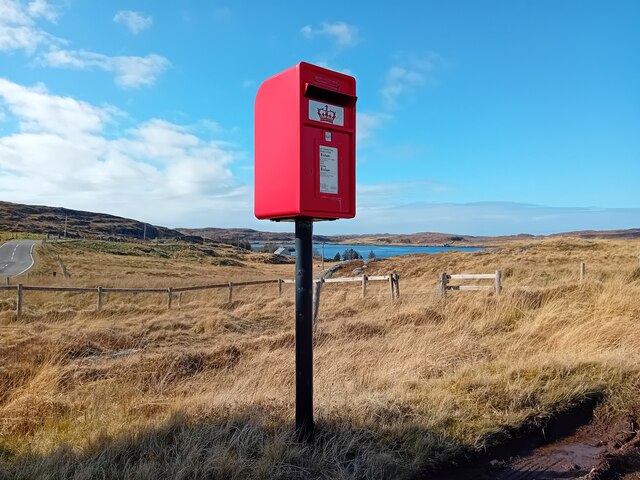
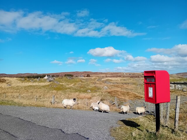
Images are sourced within 2km of 58.202532/-6.838776 or Grid Reference NB1533. Thanks to Geograph Open Source API. All images are credited.

Great Bernera bridges The new bridge under construction and the old white bridge.
Great Bernera bridges
The new bridge under construction and the old white bridge.
Postbox at Crulivig HS2 91. Royal Mail list this box as 'Crulivig'.
Postbox at Crulivig
HS2 91. Royal Mail list this box as 'Crulivig'.
Postbox on Great Bernera HS2 88. Royal Mail list this box as 'Shore'.
Postbox on Great Bernera
HS2 88. Royal Mail list this box as 'Shore'.
"The Bridge Across the Atlantic" Bernera Bridge is one of several bridges which claim to span the Atlantic Ocean. This one connects the Lewis mainland with the island of Great Bernera / Bearnaraigh. Note the standing stones on the far side of the bridge.
<span class="nowrap"><a title="http://www.uigandbernera.com/" rel="nofollow ugc noopener" href="http://www.uigandbernera.com/">Link</a><img style="margin-left:2px;" alt="External link" title="External link - shift click to open in new window" src="https://s1.geograph.org.uk/img/external.png" width="10" height="10"/></span>
"The Bridge Across the Atlantic"
Bernera Bridge is one of several bridges which claim to span the Atlantic Ocean. This one connects the Lewis mainland with the island of Great Bernera / Bearnaraigh. Note the standing stones on the far side of the bridge. LinkExternal link
Bernera Bridge Opened in 1953 and connecting Lewis with Great Bernera / Bearnaraigh.
<span class="nowrap"><a title="http://www.uigandbernera.com/" rel="nofollow ugc noopener" href="http://www.uigandbernera.com/">Link</a><img style="margin-left:2px;" alt="External link" title="External link - shift click to open in new window" src="https://s1.geograph.org.uk/img/external.png" width="10" height="10"/></span>
Bernera Bridge
Opened in 1953 and connecting Lewis with Great Bernera / Bearnaraigh. LinkExternal link
Sea Kayakers by Port a Chruidh Kayakers who have come from Miavaig / Miabhaig and are heading eastwards, having just passed below Bernera Bridge. The mainland of Lewis is on the far side of the 1953 bridge.
<span class="nowrap"><a title="http://www.uigandbernera.com/" rel="nofollow ugc noopener" href="http://www.uigandbernera.com/">Link</a><img style="margin-left:2px;" alt="External link" title="External link - shift click to open in new window" src="https://s1.geograph.org.uk/img/external.png" width="10" height="10"/></span>
Sea Kayakers by Port a Chruidh
Kayakers who have come from Miavaig / Miabhaig and are heading eastwards, having just passed below Bernera Bridge. The mainland of Lewis is on the far side of the 1953 bridge. LinkExternal link
Lewisian Gneiss Pink, folded Lewisian gneiss at the north end of Bernera Bridge. These are amongst the oldest rocks in the world.
<span class="nowrap"><a title="http://www.uigandbernera.com/" rel="nofollow ugc noopener" href="http://www.uigandbernera.com/">Link</a><img style="margin-left:2px;" alt="External link" title="External link - shift click to open in new window" src="https://s1.geograph.org.uk/img/external.png" width="10" height="10"/></span>
Lewisian Gneiss
Pink, folded Lewisian gneiss at the north end of Bernera Bridge. These are amongst the oldest rocks in the world. LinkExternal link
Stone Circle by Bernera Bridge Ancient stone circle on a mound above the north end of the bridge. the stones are part of the famous Callanish complex of standing stones.
Stone Circle by Bernera Bridge
Ancient stone circle on a mound above the north end of the bridge. the stones are part of the famous Callanish complex of standing stones.
Cleitir Stone Circle Calanais VIII - four standing stones above Bernera Bridge and the sound separating the island from Lewis.
Cleitir Stone Circle
Calanais VIII - four standing stones above Bernera Bridge and the sound separating the island from Lewis.
Telephone Box at Crulabhig Probably it's only the sheep that get calls here?
Telephone Box at Crulabhig
Probably it's only the sheep that get calls here?
Bernera Bridge
Bernera Bridge
Standing stones by Bernera Bridge
Great Bernera: postbox № HS2 82 and a ruined croft house This postbox stands at the southern end of the island, a few hundred yards from the Bernera Bridge. Behind it, we see a ruined croft house, so common in the Scottish islands.
Great Bernera: postbox № HS2 82 and a ruined croft house
This postbox stands at the southern end of the island, a few hundred yards from the Bernera Bridge. Behind it, we see a ruined croft house, so common in the Scottish islands.
Crulivig: the telephone box Pictured during heavy rain, this phone box has Hebridean doors, to keep the wind at bay.
Crulivig: the telephone box
Pictured during heavy rain, this phone box has Hebridean doors, to keep the wind at bay.
Crulivig: postbox № HS2 91 This postbox stands on the opposite side of the road to <a href="https://www.geograph.org.uk/photo/3286743">NB1733 : Crulivig: the telephone box</a>. It is emptied each morning except Sunday at a quarter to nine.
Crulivig: postbox № HS2 91
This postbox stands on the opposite side of the road to NB1733 : Crulivig: the telephone box. It is emptied each morning except Sunday at a quarter to nine.
Great Bernera Road Bridge Great Bernera lies in Loch Roag on the north-west coast of Lewis and is linked to it by a road bridge. Built in 1953, the bridge was the first pre-stressed concrete bridge in Europe. The main settlement on the island is Breaclete (Gaelic: Breacleit).
I was here bagging the island of Great Bernera with George Morl and its high point a TuMP called Middle Shalaval, at 87 metres and a P87 hill.
Great Bernera Road Bridge
Great Bernera lies in Loch Roag on the north-west coast of Lewis and is linked to it by a road bridge. Built in 1953, the bridge was the first pre-stressed concrete bridge in Europe. The main settlement on the island is Breaclete (Gaelic: Breacleit). I was here bagging the island of Great Bernera with George Morl and its high point a TuMP called Middle Shalaval, at 87 metres and a P87 hill.
Callanish X
Callanish X
Great Bernera Road Bridge The road south hugged the shore in 1975. Now it blasts straight ahead.
Great Bernera Road Bridge
The road south hugged the shore in 1975. Now it blasts straight ahead.
Show me another place!

Rubha na h-Eubhaich is located at Grid Ref: NB1533 (Lat: 58.202532, Lng: -6.838776)

Unitary Authority: Na h-Eileanan an Iar

Police Authority: Highlands and Islands

What 3 Words

///retina.flashback.cattle. Near Carloway, Na h-Eileanan Siar

Related Wikis

Callanish VIII

The Callanish VIII stone setting is one of many megalithic structures around the better-known (and larger) Calanais I on the west coast of the Isle of...

Dun Bharabhat, Great Bernera

Dun Bharabhat (or Dun Baravat) is an Iron Age galleried dun or "semi-broch" situated on the island of Great Bernera near Lewis in Scotland (grid reference...

Fuaigh Mòr

Fuaigh Mòr (sometimes anglicised as Vuia Mor) is an island in the Outer Hebrides of Scotland. It is off the west coast of Lewis near Great Bernera in...

Breaclete

Breacleit (or Roulanish; Scottish Gaelic: Breacleit; Old Norse: Breiðiklettr) is the central village on Great Bernera in the Outer Hebrides, Scotland....

Nearby Amenities

Located within 500m of 58.202532,-6.838776
Bus Stop
Earshader
Naptan AtcoCode: 6010731639
Naptan Bearing: NE
Naptan CommonName: Earshader
Naptan Indicator: Village
Naptan Landmark: Village
Naptan NaptanCode: 94723858
Naptan Street: Village
Naptan Verified: no
Source: naptan_import
Lat/Long: 58.2015607/-6.831722
Passing Place
Lat/Long: 58.2024639/-6.8303675
Passing Place
Lat/Long: 58.2013889/-6.8337798
Power: pole
Lat/Long: 58.2017566/-6.8354069
Power: pole
Lat/Long: 58.2016008/-6.835434
Power: pole
Lat/Long: 58.2014545/-6.8365084
Power: pole
Lat/Long: 58.2017364/-6.8343258
Power: pole
Lat/Long: 58.2018767/-6.8332288
Power: pole
Lat/Long: 58.2019489/-6.8324357
Power: pole
Lat/Long: 58.2021114/-6.8315073
Power: pole
Lat/Long: 58.2064309/-6.8421657
Power: pole
Lat/Long: 58.2061907/-6.8416962
Power: pole
Lat/Long: 58.2059767/-6.841317
Loch Rog
Natural: bay
Wikidata: Q3777175
Wikipedia: en:Loch Ròg
Lat/Long: 58.2024367/-6.8457086
The data included in this document is from www.openstreetmap.org. The data is made available under ODbL.

Have you been to Rubha na h-Eubhaich?

Leave your review of Rubha na h-Eubhaich below (or comments, questions and feedback).