Creag na Druideige
Coastal Feature, Headland, Point in Argyllshire
Scotland
Creag na Druideige
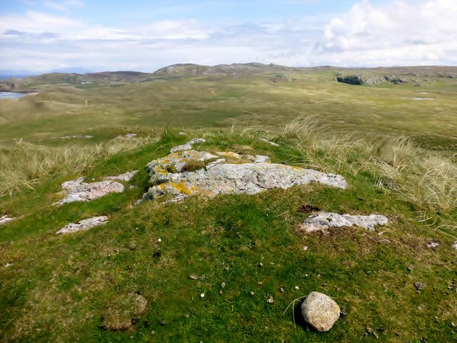
Creag na Druideige is a prominent coastal feature located in Argyllshire, Scotland. It is a stunning headland that juts out into the sea, forming a distinctive point along the coastline. The name "Creag na Druideige" translates to "Rock of the Druids" in English, hinting at the historical significance of the site.
This headland is characterized by its rugged and rocky terrain, with steep cliffs that provide breathtaking views of the surrounding landscape. The cliffs are comprised of ancient rock formations, displaying layers of sedimentary rock that have been shaped by years of erosion caused by the relentless crashing waves of the Atlantic Ocean.
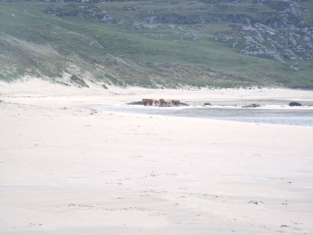
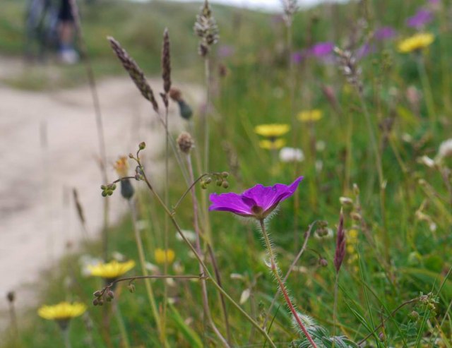
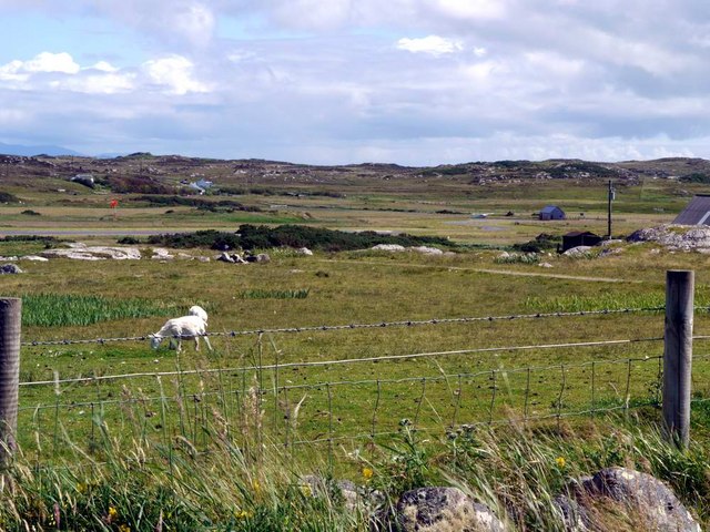
The area surrounding Creag na Druideige is rich in biodiversity, with a variety of plant and animal species calling it home. Visitors can expect to see a range of seabirds nesting on the cliffs, including puffins, guillemots, and razorbills. Occasionally, seals can be spotted basking on the rocks, adding to the natural beauty of the headland.
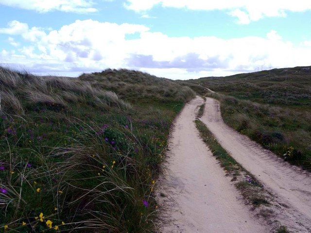
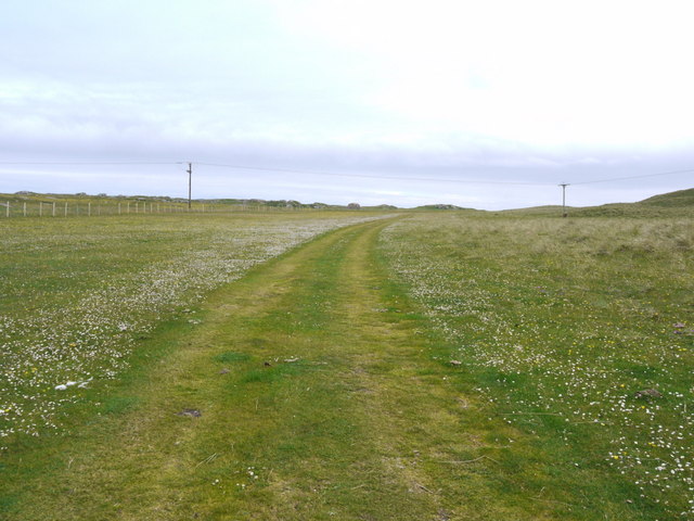
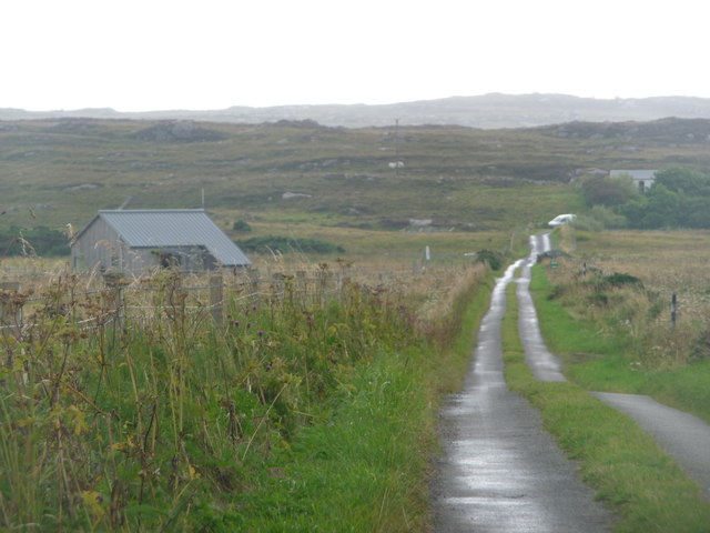
The location of Creag na Druideige also makes it an ideal spot for outdoor enthusiasts. Hiking trails wind their way along the cliffs, offering stunning views and opportunities for exploration. The headland's proximity to the sea makes it a popular spot for fishing and water sports such as kayaking and surfing.
Overall, Creag na Druideige is a captivating coastal feature that showcases the raw beauty of the Argyllshire coastline. Its rugged cliffs, diverse wildlife, and recreational opportunities make it a must-visit destination for nature lovers and adventure seekers alike.
If you have any feedback on the listing, please let us know in the comments section below.
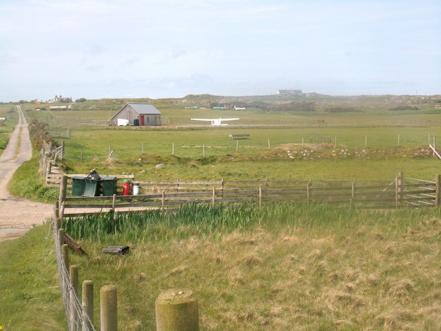
Creag na Druideige Images
Images are sourced within 2km of 56.610077/-6.6383304 or Grid Reference NM1556. Thanks to Geograph Open Source API. All images are credited.


Creag na Druideige is located at Grid Ref: NM1556 (Lat: 56.610077, Lng: -6.6383304)
Unitary Authority: Argyll and Bute
Police Authority: Argyll and West Dunbartonshire
What 3 Words
///stripped.yummy.domestic. Near Arinagour, Argyll & Bute
Nearby Locations
Related Wikis

Dùn Beic
Dùn Beic is a dun located on the Inner Hebridean island of Coll. It is located at grid reference NM15495644 and is thought to date to between 1000 BCE...

Coll Airport
Coll Island Airport (IATA: COL, ICAO: EGEL) (Scottish Gaelic: Port-adhair Cholla) is located 5 NM (9.3 km; 5.8 mi) west southwest of Arinagour on the island...

Breachacha Castle
Breachacha Castle (also spelled Breacachadh) is either of two structures on the shore of Loch Breachacha, on the Inner Hebridean island of Coll, Scotland...

Totamore dun
Totamore Dun is a dun located at grid reference NM17625713; near the settlement of Totamore, on the Inner Hebridean island of Coll. It occupies the summit...

An Caisteal (Coll)
An Caisteal (English: The Castle) is a hill fort located on the island of Coll. This island is one of the islands which make up the Inner Hebrides located...
Breachacha crannog
The Breachacha crannog is a crannog located near Loch Breachacha, on the Inner Hebridean island of Coll. The crannog is recognised in the United Kingdom...

Dùn an Achaidh
Dùn an Achaidh, sometimes Anglicised as Dun Acha, is a dun located near the village of Acha on the Inner Hebridean island of Coll. It is considered the...

Acha, Coll
Acha (Gaelic: An t-Achadh, tranlsating to "The Field") is a small hamlet on the Scottish island of Coll. == References == == See also == Dùn an Achaidh...
Nearby Amenities
Located within 500m of 56.610077,-6.6383304Have you been to Creag na Druideige?
Leave your review of Creag na Druideige below (or comments, questions and feedback).