Sloc a' Ghraineig

Sea, Estuary, Creek in Argyllshire

Scotland

Sloc a' Ghraineig

Isle of Coll airport
Isle of Coll airport Credit: Euan Nelson

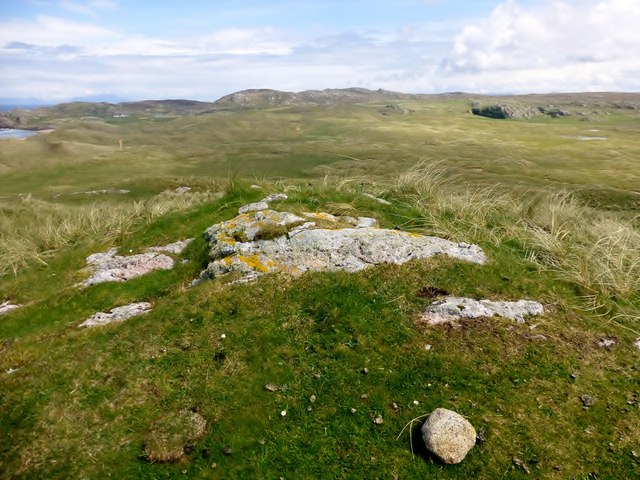
Sloc a' Ghraineig is a picturesque coastal inlet located in Argyllshire, Scotland. Situated along the western coast of the country, it offers stunning views of the sea, estuary, and creek. The name "Sloc a' Ghraineig" translates to "Creek of the Gravelly Place" in English, which aptly describes the terrain and environment of the area.

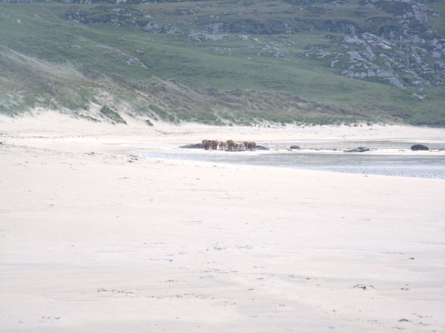
This natural harbor is characterized by its deep, calm waters, making it an ideal spot for small boats and fishing vessels to anchor. The sea surrounding Sloc a' Ghraineig is known for its rich marine life, attracting enthusiasts of water sports and fishing. The estuary, formed by the convergence of a river and the sea, adds to the unique beauty of the location.

The creek within Sloc a' Ghraineig is lined with pebbles and gravel, creating a distinct shoreline. The intertidal zone of the creek is teeming with various species of marine plants and animals. During low tide, visitors can explore the exposed rocky areas and observe the fascinating marine ecosystem.

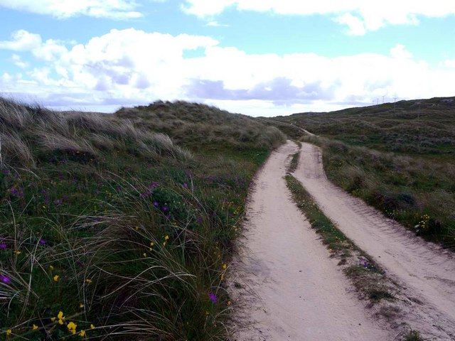
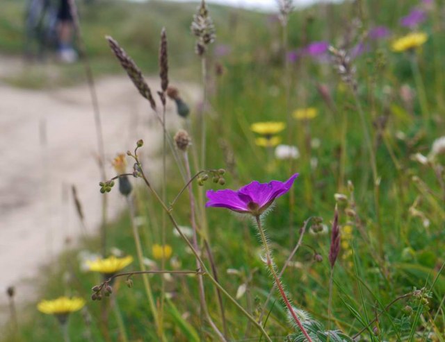
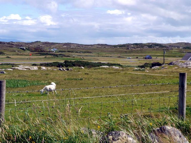
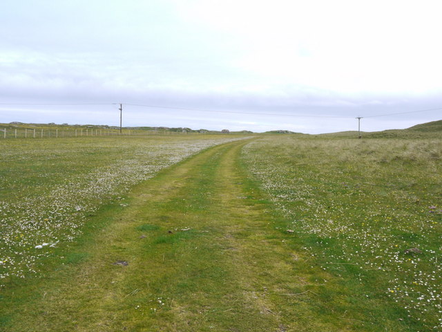
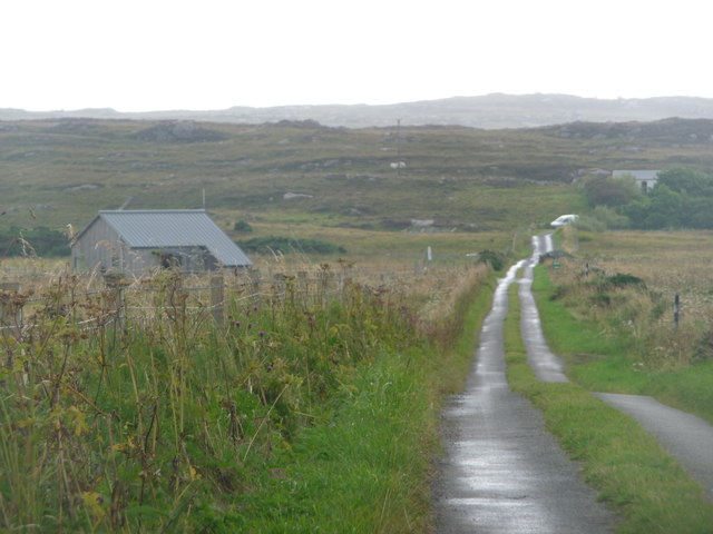
The surrounding landscape of Sloc a' Ghraineig is characterized by rolling hills and lush greenery, providing a stunning backdrop to the coastal scenery. The area is also home to a diverse range of wildlife, including seabirds, otters, and seals, making it a haven for nature lovers and birdwatchers.

Overall, Sloc a' Ghraineig offers a tranquil and picturesque setting, where visitors can immerse themselves in the beauty of Scotland's coastal landscapes, explore nature, and enjoy a range of water-based activities.

If you have any feedback on the listing, please let us know in the comments section below.

Sloc a' Ghraineig Images

Images are sourced within 2km of 56.610055/-6.64252 or Grid Reference NM1556. Thanks to Geograph Open Source API. All images are credited.

Isle of Coll airport
Isle of Coll airport A photograph of the airstrip serving Coll.
Isle of Coll airport
A photograph of the airstrip serving Coll.
Traigh Hogh In the distance a herd of cows can be seen on the beach.
Traigh Hogh
In the distance a herd of cows can be seen on the beach.
The track from Ballyhaugh to Totronald The purple blossoms of bloody cranesbill in banks by the track.
The track from Ballyhaugh to Totronald
The purple blossoms of bloody cranesbill in banks by the track.
Flowers of the Coll machair The purple of bloody cranesbill to the fore.
Flowers of the Coll machair
The purple of bloody cranesbill to the fore.
The runway at Coll Aerodrome The terminal building can be seen to the right, with a small private plane parked nearby.
The runway at Coll Aerodrome
The terminal building can be seen to the right, with a small private plane parked nearby.
Track over the machair This is the track from the parking place to Feall Bay.  Vehicles obviously use it to save what is a very pleasant walk, although a sign at the car park asks them not to.
Track over the machair
This is the track from the parking place to Feall Bay. Vehicles obviously use it to save what is a very pleasant walk, although a sign at the car park asks them not to.
Rocks at the east end of Feall Bay
Parking, Coll Aerodrome It may not be an international hub, but Coll has its own airport.
Parking, Coll Aerodrome
It may not be an international hub, but Coll has its own airport.
Ben Feall A lovely spot on a sunny morning with Iain Brown and Martin Richardson after Calgary Point.
Name: Ben Feall
Hill number: 10480
Height: 66m / 217ft
Parent (Ma/M): none
Area: 17F: Coll and Tiree
Class: 0
Grid ref: NM 14525 54867
Summit feature: boulder
Drop: 54m
Col: 12m  NM147546
Ben Feall
A lovely spot on a sunny morning with Iain Brown and Martin Richardson after Calgary Point. Name: Ben Feall Hill number: 10480 Height: 66m / 217ft Parent (Ma/M): none Area: 17F: Coll and Tiree Class: 0 Grid ref: NM 14525 54867 Summit feature: boulder Drop: 54m Col: 12m NM147546
A Lamb On The Edge A lamb on the edge of the TuMP Ben Feall on the Isle of Coll.
A Lamb On The Edge
A lamb on the edge of the TuMP Ben Feall on the Isle of Coll.
Argyll Air Services Coll Aerodrome Argyll and Bute Council operates Oban Airport, Coll, Colonsay and Glenforsa Aerodromes.
Argyll Air Services Coll Aerodrome
Argyll and Bute Council operates Oban Airport, Coll, Colonsay and Glenforsa Aerodromes.
Cnoc Mor A short walk on short sheep pasture to a lovely summit view with Iain Brown and Martin Richardson.
Name: Cnoc Mor
Hill number: 10504
Height: 57m / 187ft
Parent (Ma/M): none
Area: 17F: Coll and Tiree
Class: 0
Grid ref: NM 16633 56618
Summit feature: grassy outcrop
Drop: 44m
Col: 13m  NM170567
Cnoc Mor
A short walk on short sheep pasture to a lovely summit view with Iain Brown and Martin Richardson. Name: Cnoc Mor Hill number: 10504 Height: 57m / 187ft Parent (Ma/M): none Area: 17F: Coll and Tiree Class: 0 Grid ref: NM 16633 56618 Summit feature: grassy outcrop Drop: 44m Col: 13m NM170567
Isle of Coll: the B8070 passes the airfield Typical of the few roads on Coll, the B8070 is a single-track road with passing places and, as here, they often have grass down the middle. The airfield's terminal building is on the left.
Isle of Coll: the B8070 passes the airfield
Typical of the few roads on Coll, the B8070 is a single-track road with passing places and, as here, they often have grass down the middle. The airfield's terminal building is on the left.
Rocky outcrops by Breachacha
Track through the dunes by Tràigh Hogh, Coll
Ruined building at Totronald
Standing Stones at Totronald
Show me another place!

Sloc a' Ghraineig is located at Grid Ref: NM1556 (Lat: 56.610055, Lng: -6.64252)

Unitary Authority: Argyll and Bute

Police Authority: Argyll and West Dunbartonshire

What 3 Words

///richer.uncouth.solves. Near Arinagour, Argyll & Bute

Related Wikis

Dùn Beic

Dùn Beic is a dun located on the Inner Hebridean island of Coll. It is located at grid reference NM15495644 and is thought to date to between 1000 BCE...
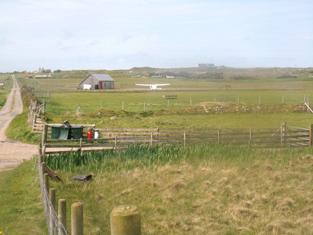
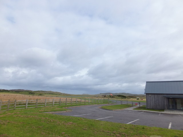
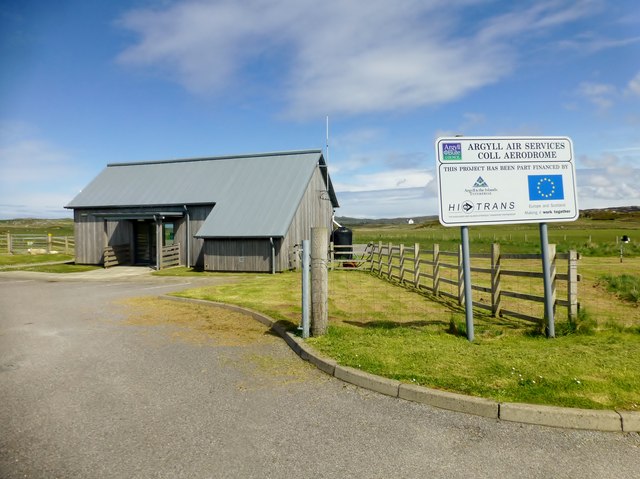
Coll Airport

Coll Island Airport (IATA: COL, ICAO: EGEL) (Scottish Gaelic: Port-adhair Cholla) is located 5 NM (9.3 km; 5.8 mi) west southwest of Arinagour on the island...

Breachacha Castle

Breachacha Castle (also spelled Breacachadh) is either of two structures on the shore of Loch Breachacha, on the Inner Hebridean island of Coll, Scotland...

Totamore dun

Totamore Dun is a dun located at grid reference NM17625713; near the settlement of Totamore, on the Inner Hebridean island of Coll. It occupies the summit...

Nearby Amenities

Located within 500m of 56.610055,-6.64252
Natural: rock
Source: OS7
Tidal: yes
Lat/Long: 56.613616/-6.6412432
Natural: rock
Source: OS7
Tidal: yes
Lat/Long: 56.6119829/-6.6418227
Dùn Beic
Historic: fort
Wikidata: Q5320407
Wikipedia: en:Dùn Beic
Lat/Long: 56.613192/-6.6389555
The data included in this document is from www.openstreetmap.org. The data is made available under ODbL.

Have you been to Sloc a' Ghraineig?

Leave your review of Sloc a' Ghraineig below (or comments, questions and feedback).