Boghaichean Ceann Shoa
Coastal Feature, Headland, Point in Argyllshire
Scotland
Boghaichean Ceann Shoa
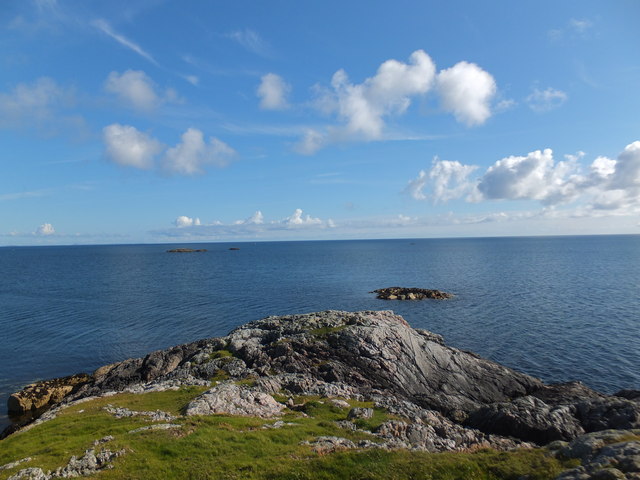
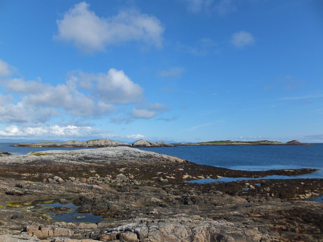
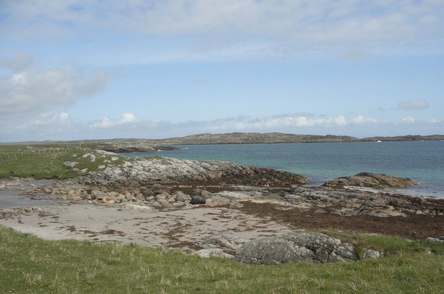
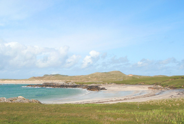
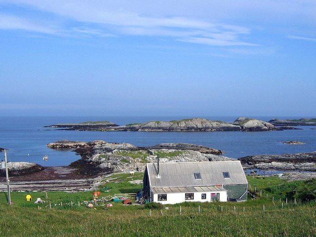
Boghaichean Ceann Shoa is a notable coastal feature located in Argyllshire, a region in western Scotland. This headland, also referred to as a point, sits on the coastline, offering breathtaking views of the surrounding area.
The name "Boghaichean Ceann Shoa" is derived from the Gaelic language, with "Boghaichean" meaning "bows" or "arches," and "Ceann Shoa" translating to "headland of the point." This name accurately represents the unique shape and formation of the headland, which resembles arches or bows when observed from certain angles.
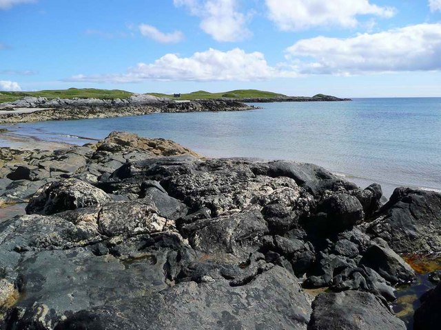
The headland is characterized by rugged cliffs that descend sharply into the sea, providing a dramatic backdrop to the crashing waves below. The coastline features a diverse range of rock formations, including granite and sandstone, which have been shaped over time by the relentless force of the ocean.
Boghaichean Ceann Shoa offers a haven for various seabird species, including gulls, puffins, and cormorants, which can be spotted nesting and fishing in the surrounding waters. The headland is a popular spot for birdwatchers and nature enthusiasts, who come to admire the diverse avian population and the stunning coastal scenery.
Access to Boghaichean Ceann Shoa is typically via a walking trail that winds its way along the headland, allowing visitors to explore the area and take in its natural beauty. The headland also serves as a popular vantage point for photographers, who capture the picturesque landscape and the interplay of light and shadows on the cliffs.
If you have any feedback on the listing, please let us know in the comments section below.
Boghaichean Ceann Shoa Images
Images are sourced within 2km of 56.561179/-6.633229 or Grid Reference NM1550. Thanks to Geograph Open Source API. All images are credited.
Boghaichean Ceann Shoa is located at Grid Ref: NM1550 (Lat: 56.561179, Lng: -6.633229)
Unitary Authority: Argyll and Bute
Police Authority: Argyll and West Dunbartonshire
What 3 Words
///pulp.defectors.sharpness. Near Arinagour, Argyll & Bute
Nearby Locations
Related Wikis

Breachacha crannog
The Breachacha crannog is a crannog located near Loch Breachacha, on the Inner Hebridean island of Coll. The crannog is recognised in the United Kingdom...

Breachacha Castle
Breachacha Castle (also spelled Breacachadh) is either of two structures on the shore of Loch Breachacha, on the Inner Hebridean island of Coll, Scotland...

Coll Airport
Coll Island Airport (IATA: COL, ICAO: EGEL) (Scottish Gaelic: Port-adhair Cholla) is located 5 NM (9.3 km; 5.8 mi) west southwest of Arinagour on the island...

Dùn an Achaidh
Dùn an Achaidh, sometimes Anglicised as Dun Acha, is a dun located near the village of Acha on the Inner Hebridean island of Coll. It is considered the...
Nearby Amenities
Located within 500m of 56.561179,-6.633229Have you been to Boghaichean Ceann Shoa?
Leave your review of Boghaichean Ceann Shoa below (or comments, questions and feedback).