Creag na h-Iolaire

Coastal Feature, Headland, Point in Argyllshire

Scotland

Creag na h-Iolaire

Isle of Coll airport
Isle of Coll airport Credit: Euan Nelson

Creag na h-Iolaire, located in Argyllshire, Scotland, is a prominent coastal feature known for its stunning headland and point. With its Gaelic name translating to "Eagle Rock," this site lives up to its avian-inspired moniker, as it serves as a prime nesting ground for a variety of bird species, particularly eagles.

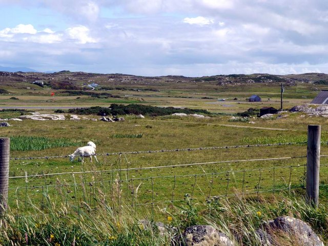
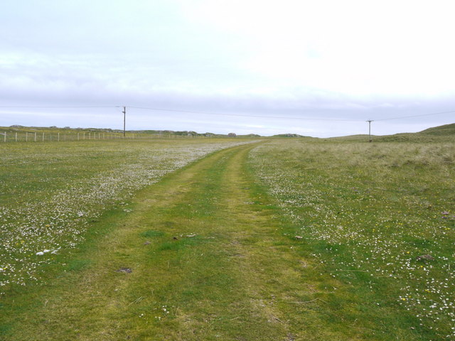
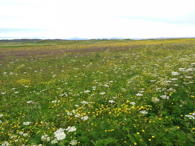
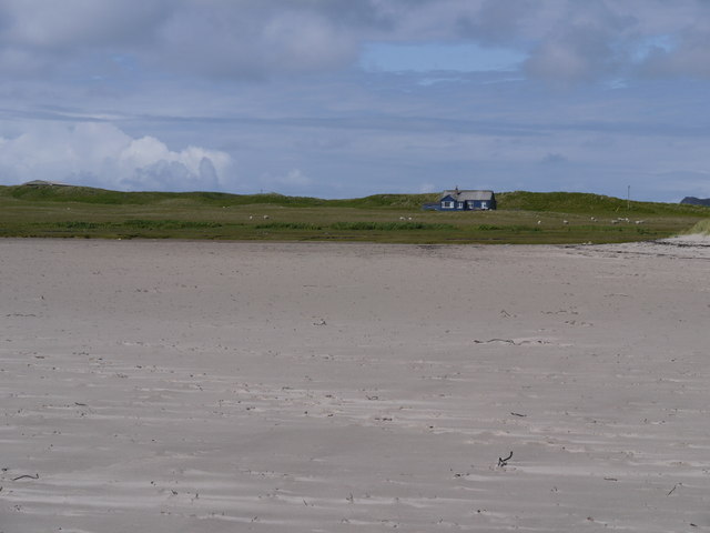
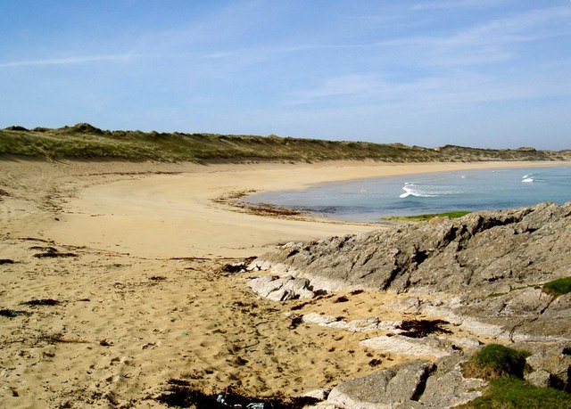
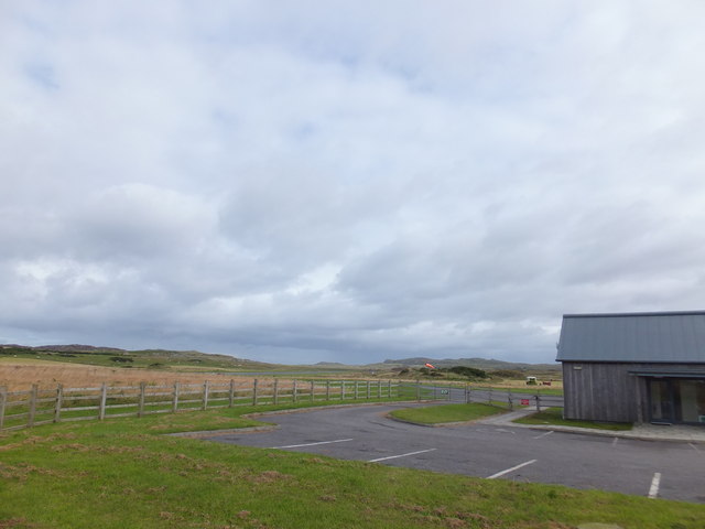
Situated on the western coast of Scotland, Creag na h-Iolaire offers breathtaking panoramic views of the surrounding landscape, including the vast expanse of the Atlantic Ocean. Jutting out into the sea, the headland commands attention with its sheer cliffs and rugged terrain. The point, extending further into the water, serves as a natural vantage point, providing visitors with an unobstructed outlook over the coastal scenery.

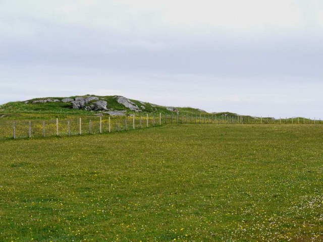
The headland and point are composed primarily of ancient volcanic rock, creating a dramatic backdrop against the crashing waves of the ocean. This geological formation not only adds to the aesthetic appeal of Creag na h-Iolaire but also contributes to its ecological significance. The rocky cliffs provide nesting sites and shelter for a diverse array of seabirds, such as gannets, puffins, and fulmars.

As a designated nature reserve, Creag na h-Iolaire is protected, ensuring the preservation of its unique ecosystem. Visitors to this coastal feature can enjoy observing the abundant wildlife, taking in the awe-inspiring vistas, and immersing themselves in the tranquility of the surrounding natural environment. Whether it be birdwatching, photography, or simply appreciating the raw beauty of this headland and point, Creag na h-Iolaire offers a captivating experience for all who venture to its shores.

If you have any feedback on the listing, please let us know in the comments section below.

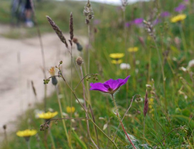
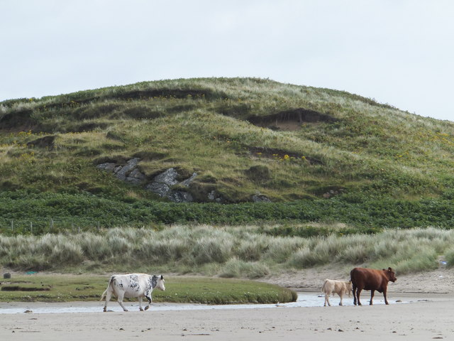
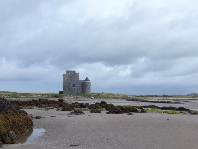
Creag na h-Iolaire Images

Images are sourced within 2km of 56.602446/-6.6383882 or Grid Reference NM1555. Thanks to Geograph Open Source API. All images are credited.

Isle of Coll airport
Isle of Coll airport A photograph of the airstrip serving Coll.
Isle of Coll airport
A photograph of the airstrip serving Coll.
Breachacha Castle Breachacha Castle was constructed sometime in the fifteenth century and rapidly became the scene of much internecine feuding between the Coll Macleans and the Duart Macleans.
Breachacha Castle
Breachacha Castle was constructed sometime in the fifteenth century and rapidly became the scene of much internecine feuding between the Coll Macleans and the Duart Macleans.
Breachacha Castle (new) This rather grand-looking mansion was built in 1750 by Hector Maclean, 13th of Coll, and in 1773 entertained Boswell and Johnson.
Breachacha Castle (new)
This rather grand-looking mansion was built in 1750 by Hector Maclean, 13th of Coll, and in 1773 entertained Boswell and Johnson.
Breachacha beach In the background are the 15th and 18th century castles at Breachacha.
Breachacha beach
In the background are the 15th and 18th century castles at Breachacha.
Flowers of the Coll machair The purple of bloody cranesbill to the fore.
Flowers of the Coll machair
The purple of bloody cranesbill to the fore.
The runway at Coll Aerodrome The terminal building can be seen to the right, with a small private plane parked nearby.
The runway at Coll Aerodrome
The terminal building can be seen to the right, with a small private plane parked nearby.
Coll machair White and yellow flowers here, but elsewhere the purple of bloody cranesbill stains the banks with colour.
Coll machair
White and yellow flowers here, but elsewhere the purple of bloody cranesbill stains the banks with colour.
Track over the machair This is the track from the parking place to Feall Bay.  Vehicles obviously use it to save what is a very pleasant walk, although a sign at the car park asks them not to.
Track over the machair
This is the track from the parking place to Feall Bay. Vehicles obviously use it to save what is a very pleasant walk, although a sign at the car park asks them not to.
Rocks at the east end of Feall Bay
There's a corncrake in there somewhere! Coll's machair in full bloom, and the haunting rasp of the corncrake calling.  It's in there somewhere but this elusive bird cannot be seen in the long vegetation.  The island of Bac Mor (Dutchman's Cap) in the right distance.
There's a corncrake in there somewhere!
Coll's machair in full bloom, and the haunting rasp of the corncrake calling. It's in there somewhere but this elusive bird cannot be seen in the long vegetation. The island of Bac Mor (Dutchman's Cap) in the right distance.
Blue house on a silver beach At Loch Breachacha
Blue house on a silver beach
At Loch Breachacha
Feall Bay A 'busy' day at the south end of Coll
Feall Bay
A 'busy' day at the south end of Coll
Parking, Coll Aerodrome It may not be an international hub, but Coll has its own airport.
Parking, Coll Aerodrome
It may not be an international hub, but Coll has its own airport.
Cattle, Loch Breachacha
Old Breachacha Castle
Ben Feall A lovely spot on a sunny morning with Iain Brown and Martin Richardson after Calgary Point.
Name: Ben Feall
Hill number: 10480
Height: 66m / 217ft
Parent (Ma/M): none
Area: 17F: Coll and Tiree
Class: 0
Grid ref: NM 14525 54867
Summit feature: boulder
Drop: 54m
Col: 12m  NM147546
Ben Feall
A lovely spot on a sunny morning with Iain Brown and Martin Richardson after Calgary Point. Name: Ben Feall Hill number: 10480 Height: 66m / 217ft Parent (Ma/M): none Area: 17F: Coll and Tiree Class: 0 Grid ref: NM 14525 54867 Summit feature: boulder Drop: 54m Col: 12m NM147546
A Lamb On The Edge A lamb on the edge of the TuMP Ben Feall on the Isle of Coll.
A Lamb On The Edge
A lamb on the edge of the TuMP Ben Feall on the Isle of Coll.
Show me another place!

Creag na h-Iolaire is located at Grid Ref: NM1555 (Lat: 56.602446, Lng: -6.6383882)

Unitary Authority: Argyll and Bute

Police Authority: Argyll and West Dunbartonshire

What 3 Words

///bashed.deflated.adults. Near Arinagour, Argyll & Bute

Related Wikis

Dùn Beic

Dùn Beic is a dun located on the Inner Hebridean island of Coll. It is located at grid reference NM15495644 and is thought to date to between 1000 BCE...
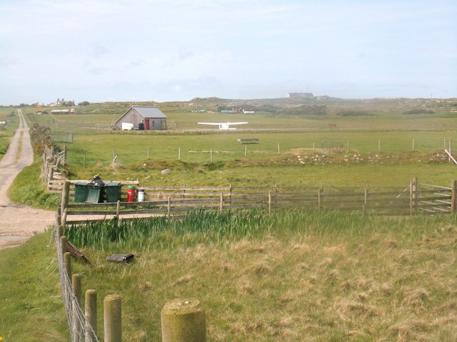
Coll Airport

Coll Island Airport (IATA: COL, ICAO: EGEL) (Scottish Gaelic: Port-adhair Cholla) is located 5 NM (9.3 km; 5.8 mi) west southwest of Arinagour on the island...
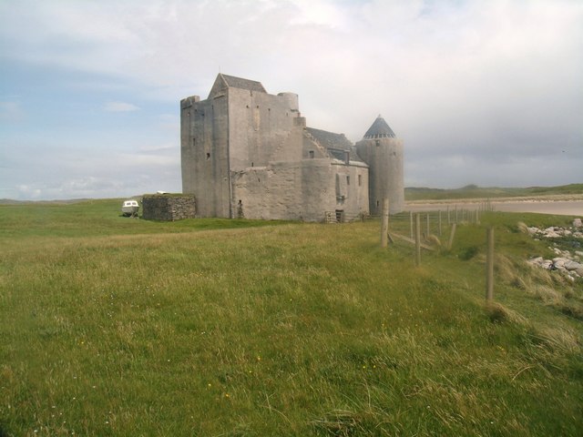
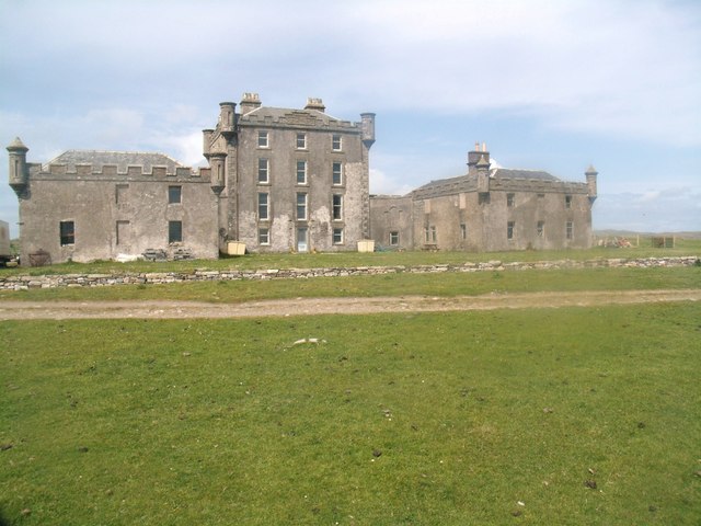
Breachacha Castle

Breachacha Castle (also spelled Breacachadh) is either of two structures on the shore of Loch Breachacha, on the Inner Hebridean island of Coll, Scotland...

Breachacha crannog

The Breachacha crannog is a crannog located near Loch Breachacha, on the Inner Hebridean island of Coll. The crannog is recognised in the United Kingdom...

Nearby Amenities

Located within 500m of 56.602446,-6.6383882
Sloc na Cruadhach
Natural: cave_entrance
Lat/Long: 56.6023703/-6.6411684
Power: pole
Lat/Long: 56.602941/-6.6323866
Cnoc Meineach
Natural: peak
Lat/Long: 56.6048064/-6.6349845
Cnoc Ballard
Natural: peak
Lat/Long: 56.6028281/-6.6319267
Power: pole
Lat/Long: 56.5988323/-6.6403288
Power: pole
Lat/Long: 56.5982476/-6.6412917
Power: pole
Lat/Long: 56.599423/-6.639449
Power: pole
Lat/Long: 56.6000342/-6.6384807
Power: pole
Lat/Long: 56.6005968/-6.6375741
Power: pole
Lat/Long: 56.6023287/-6.6348115
Power: pole
Lat/Long: 56.6011165/-6.6367561
Power: pole
Lat/Long: 56.6041505/-6.6319469
Power: pole
Lat/Long: 56.6035142/-6.6329259
Power: pole
Lat/Long: 56.6035199/-6.6311042
Power: pole
Lat/Long: 56.6035129/-6.6321263
Power: pole
Lat/Long: 56.599118/-6.6343203
Barrier: cattle_grid
Lat/Long: 56.5994068/-6.6332959
The data included in this document is from www.openstreetmap.org. The data is made available under ODbL.

Have you been to Creag na h-Iolaire?

Leave your review of Creag na h-Iolaire below (or comments, questions and feedback).