Laimhrig Mhòr

Coastal Feature, Headland, Point in Ross-shire

Scotland

Laimhrig Mhòr

B8011 at Leathad Mòr
B8011 at Leathad Mòr Credit: Sandy Gerrard

Laimhrig Mhòr is a prominent coastal feature located in Ross-shire, Scotland. It is a headland that extends out into the sea, forming a distinct point along the coastline. The name Laimhrig Mhòr translates to "big headland" in Scottish Gaelic, accurately reflecting its size and significance.

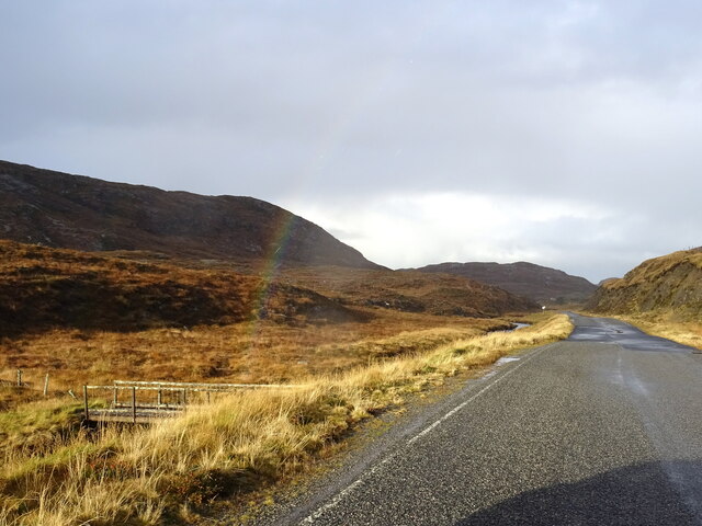
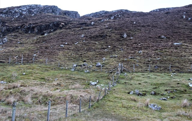
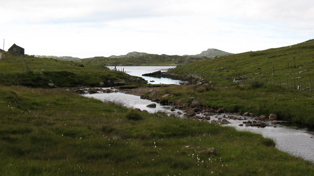
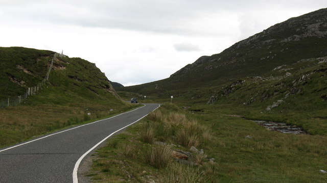
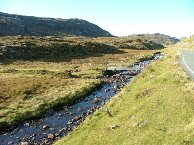
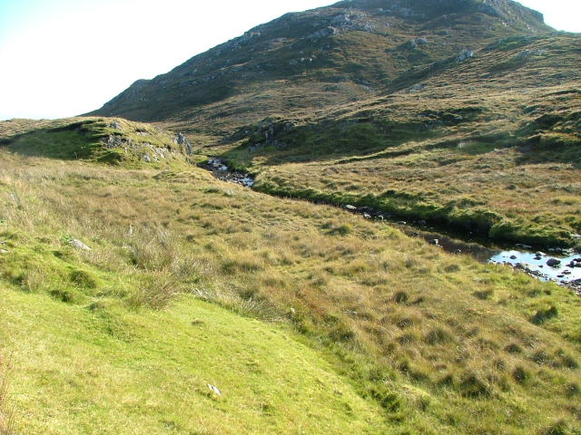
Situated along the rugged and beautiful Scottish coastline, Laimhrig Mhòr offers breathtaking views of the surrounding landscape. Its elevated position provides an ideal vantage point to observe the vast expanse of the sea and the diverse marine life that inhabits the area. The headland's rocky cliffs and steep slopes add to its dramatic appeal, making it a popular destination for nature enthusiasts and photographers alike.

Laimhrig Mhòr is known for its rich biodiversity and serves as a vital habitat for various seabird species, including gannets, puffins, and guillemots. The surrounding waters are also teeming with marine life, with seals, dolphins, and occasionally even whales being spotted offshore.

Beyond its natural beauty, Laimhrig Mhòr holds historical significance as well. The area is dotted with ancient ruins and archaeological sites, providing glimpses into the region's past. Visitors can explore these remnants of the past while immersing themselves in the stunning coastal scenery.

Access to Laimhrig Mhòr is typically via footpaths or trails, offering visitors the chance to experience the ruggedness of the Scottish landscape up close. Its picturesque setting and unique geological features make Laimhrig Mhòr a must-visit destination for those exploring the Ross-shire coastline.

If you have any feedback on the listing, please let us know in the comments section below.

Laimhrig Mhòr Images

Images are sourced within 2km of 58.186614/-6.9119801 or Grid Reference NB1132. Thanks to Geograph Open Source API. All images are credited.
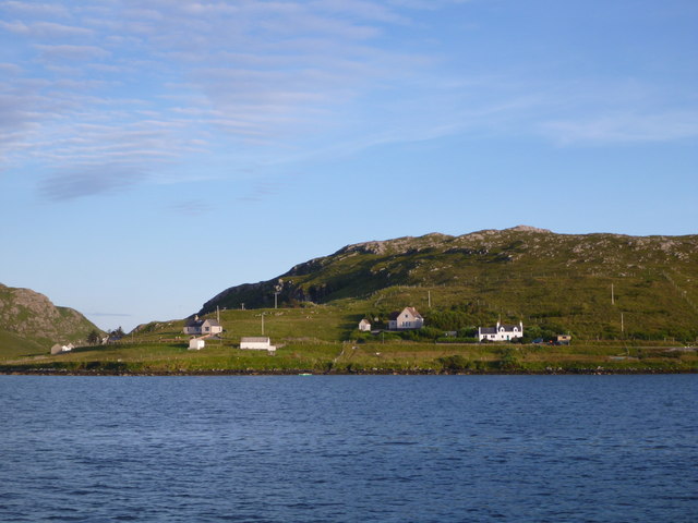
B8011 at Leathad Mòr
Derelict house on slope of Beinn a' Ghlinne Ruaidh
Geisiadar On Croft Number 8 - The Crofting Commission are looking to evict the tenant of this croft and destroy the woods.
Geisiadar
On Croft Number 8 - The Crofting Commission are looking to evict the tenant of this croft and destroy the woods.
Cerishader: postbox № HS2 158 A small postbox on the B8011, with its back to Loch Ròg. It is emptied at 9 o'clock each morning, except Sunday.
Cerishader: postbox № HS2 158
A small postbox on the B8011, with its back to Loch Ròg. It is emptied at 9 o'clock each morning, except Sunday.
Carishader postbox The sea inlet is part of Loch Ròg.
Carishader postbox
The sea inlet is part of Loch Ròg.
Old black house walls, Cairisiadar Looking up An Gleann Ruadh.
Old black house walls, Cairisiadar
Looking up An Gleann Ruadh.
Abhainn Mhòr a' Ghlinne Ruaidh
Bridge over the Abhainn Mhor a' Ghlinne Ruaidh
A hint of a rainbow by Abhainn Mhòr a Ghlinne Ruaidh Just cross the footbridge and you are at the end of the rainbow (now where's my shovel!).
A hint of a rainbow by Abhainn Mhòr a Ghlinne Ruaidh
Just cross the footbridge and you are at the end of the rainbow (now where's my shovel!).
Cairisiadar from Loch Rog The northwest end of this small community strung out along the B8011 catches the evening light as we return by boat to Miabhaig.
Cairisiadar from Loch Rog
The northwest end of this small community strung out along the B8011 catches the evening light as we return by boat to Miabhaig.
Cairisiadar: croft boundaries and common grazings
Approaching Cairisiadar on the B8011
Cairisiadar (Carishader) Though the B8011 has been much improved, there are still some single-track stretches, notably where it crosses narrow bridges which have not been rebuilt, as here at Cairisiadar.
Cairisiadar (Carishader)
Though the B8011 has been much improved, there are still some single-track stretches, notably where it crosses narrow bridges which have not been rebuilt, as here at Cairisiadar.
Looking across to Flodaigh Flodaigh is a small island in Loch Rog, separated from mainland Lewis by the narrowest of channels at its southernmost point. There seem to be a number of Flodaigh [Flodday] islands around the west coast of Scotland, so presumably the name has some significance.
Looking across to Flodaigh
Flodaigh is a small island in Loch Rog, separated from mainland Lewis by the narrowest of channels at its southernmost point. There seem to be a number of Flodaigh [Flodday] islands around the west coast of Scotland, so presumably the name has some significance.
Where the burn meets the sea The Abhainn Mhor a Ghlinna Ruaidh is an insignificant little stream with a very long name, that runs northwards to join a corner of Loch Rog near Cairisiadar.
Where the burn meets the sea
The Abhainn Mhor a Ghlinna Ruaidh is an insignificant little stream with a very long name, that runs northwards to join a corner of Loch Rog near Cairisiadar.
The B8011 in West Lewis For much of its length, the B8011 has been rebuilt and regraded, though this section is still single track with passing places.
The B8011 in West Lewis
For much of its length, the B8011 has been rebuilt and regraded, though this section is still single track with passing places.
Bridge on the Abhainn Mhor à  Ghlinne Ruaidh Looking north.
Bridge on the Abhainn Mhor à Ghlinne Ruaidh
Looking north.
Abhainn Mhor à  Ghlinne Ruaidh Looking south.The slopes of Oileasail in the background.
Abhainn Mhor à Ghlinne Ruaidh
Looking south.The slopes of Oileasail in the background.
Show me another place!

Laimhrig Mhòr is located at Grid Ref: NB1132 (Lat: 58.186614, Lng: -6.9119801)

Unitary Authority: Na h-Eileanan an Iar

Police Authority: Highlands and Islands

What 3 Words

///vibrating.overnight.corrosive. Near Carloway, Na h-Eileanan Siar

Related Wikis

Flodaigh, Lewis

Flodaigh is a small island in Loch Roag on the west coast of Lewis in the Outer Hebrides of Scotland. It is about 33 hectares (82 acres) in extent and...

Fuaigh Beag

Fuaigh Beag or Vuia Be(a)g is an island in the Outer Hebrides. It is off the west coast of Lewis near Great Bernera in Loch Roag. Its name means "little...

Loch Ròg

Loch Ròg or Loch Roag is a large sea loch on the west coast of Lewis, Outer Hebrides. It is broadly divided into East Loch Roag and West Loch Roag with...

Loch na Berie

Loch Na Berie is a broch in the Outer Hebrides of Scotland, located approximately 400 yards from the shore, and is thought to have been located on an island...

Nearby Amenities

Located within 500m of 58.186614,-6.9119801
Grasabhaig
Place: locality
Lat/Long: 58.185929/-6.9135524
Power: pole
Lat/Long: 58.1838538/-6.9117621
Power: pole
Lat/Long: 58.1834061/-6.9114092
Power: pole
Lat/Long: 58.1829361/-6.9110458
Power: pole
Lat/Long: 58.1828111/-6.9098992
Toma Dubh
Place: locality
Lat/Long: 58.1835351/-6.9087574
The data included in this document is from www.openstreetmap.org. The data is made available under ODbL.

Have you been to Laimhrig Mhòr?

Leave your review of Laimhrig Mhòr below (or comments, questions and feedback).