Am Meann
Coastal Feature, Headland, Point in Inverness-shire
Scotland
Am Meann
Am Meann is a prominent coastal feature located in Inverness-shire, Scotland. It is a headland that juts out into the North Sea, forming a distinctive point along the coastline. The name "Am Meann" translates to "The Point" in English, reflecting its geographical significance.
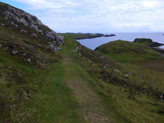
This headland is characterized by its rugged cliffs and rocky shoreline, providing a dramatic and picturesque landscape. The cliffs rise steeply from the sea, reaching impressive heights and offering breathtaking views of the surrounding area. The exposed rocks on the point exhibit a variety of geological formations, attracting geologists and nature enthusiasts alike.
Am Meann is known for its diverse wildlife and rich biodiversity. The surrounding waters are home to numerous marine species, including seals, dolphins, and various species of seabirds. It serves as an important habitat for these creatures and is designated as a protected area to preserve its natural beauty and ecological importance.
The headland is a popular destination for outdoor enthusiasts and hikers, offering a range of walking trails that allow visitors to explore its unique features. The trails lead to viewpoints that provide panoramic vistas of the coastline, making it a favorite spot for photographers and nature lovers.
In addition to its natural beauty, Am Meann also has historical significance. It is believed to have been inhabited since ancient times, with archaeological evidence suggesting human activity dating back thousands of years. The area has remnants of ancient settlements, including burial sites and stone structures, adding an element of cultural interest to the site.
Overall, Am Meann is a captivating coastal feature that showcases the stunning natural landscapes and rich biodiversity of Inverness-shire. Its combination of geological formations, diverse wildlife, and historical significance make it an appealing destination for both locals and tourists.
If you have any feedback on the listing, please let us know in the comments section below.
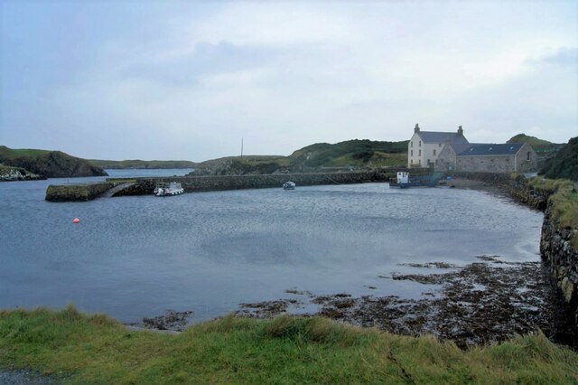
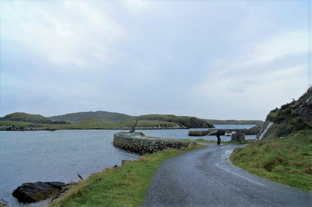
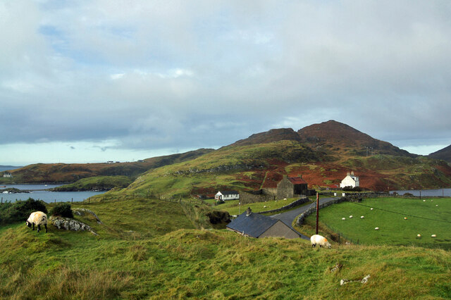
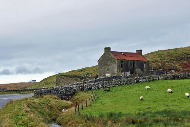
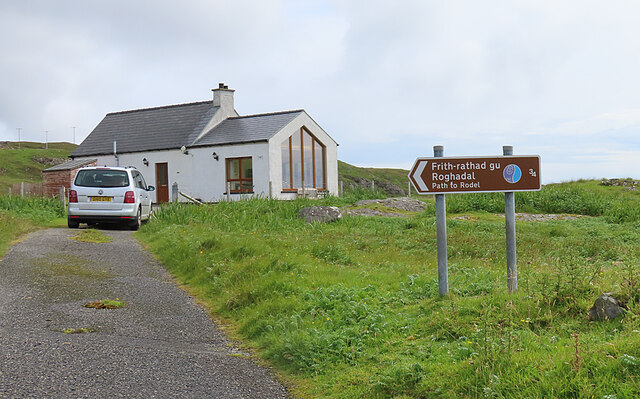
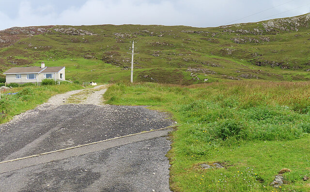
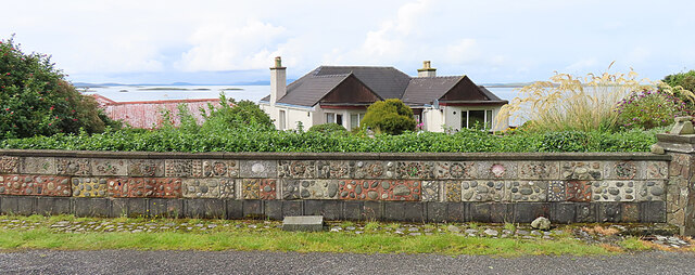
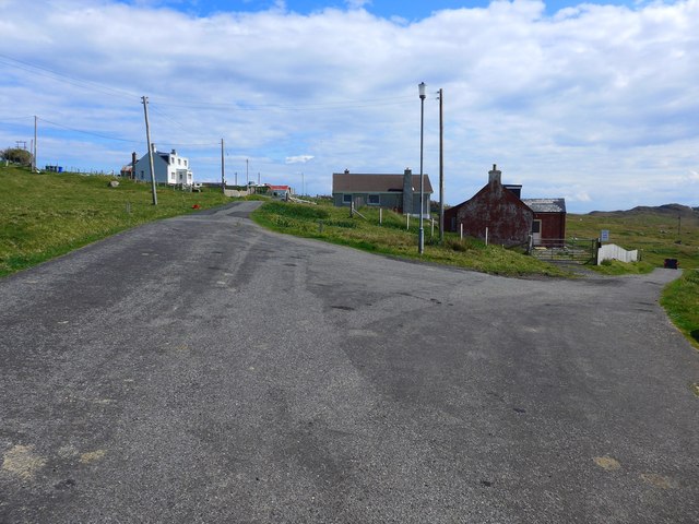
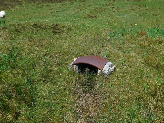
Am Meann Images
Images are sourced within 2km of 57.729455/-6.9745577 or Grid Reference NG0381. Thanks to Geograph Open Source API. All images are credited.


Am Meann is located at Grid Ref: NG0381 (Lat: 57.729455, Lng: -6.9745577)
Unitary Authority: Na h-Eileanan an Iar
Police Authority: Highlands and Islands
What 3 Words
///armrests.silk.toads. Near Leverburgh, Na h-Eileanan Siar
Nearby Locations
Related Wikis

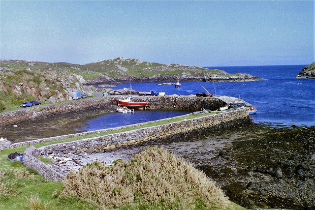
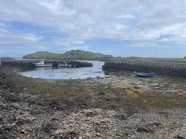
Rodel
Rodel (Scottish Gaelic: Roghadal) is a village on the south-eastern coast of Harris, an island in the Scottish Outer Hebrides. Rodel is situated in the...

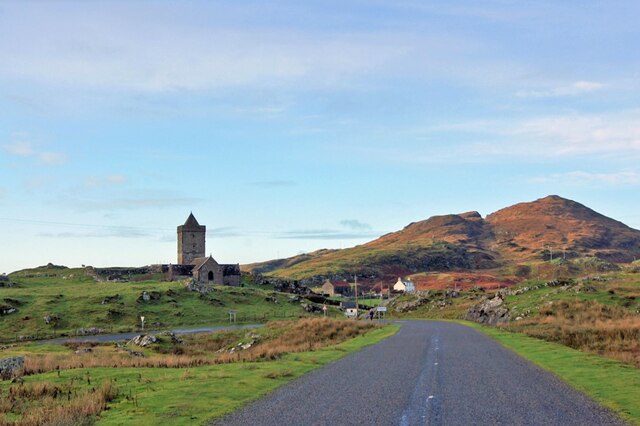
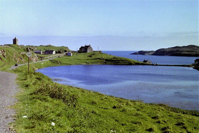
St Clement's Church, Rodel
St Clement's Church (Scottish Gaelic: Tùr Chliamhainn, meaning Clement's Tower) is a late fifteenth-century or early sixteenth-century church in Rodel...

Roineabhal
Roineabhal is a hill in Harris, in the Western Isles of Scotland. The granite on the summit plateau of the mountain is anorthosite, and is similar in composition...

Harris Superquarry
The Harris Super Quarry was a super quarry at Lingerbay, Harris, Scotland proposed by Redland Aggregates in 1991. The plan was to surface mine aggregate...
Nearby Amenities
Located within 500m of 57.729455,-6.9745577Have you been to Am Meann?
Leave your review of Am Meann below (or comments, questions and feedback).