Druti-gya Beg

Coastal Feature, Headland, Point in Inverness-shire

Scotland

Druti-gya Beg

Taransay/Tarasaigh from the road side at Sheileboist
Taransay/Tarasaigh from the road side at Sheileboist Credit: Sandy Gerrard

Druti-gya Beg is a prominent coastal feature located in Inverness-shire, a county in the Scottish Highlands. It is specifically identified as a headland or point along the coastline, jutting out into the North Atlantic Ocean. The name "Druti-gya Beg" is of Gaelic origin and translates to "small promontory" in English, accurately describing its physical characteristics.

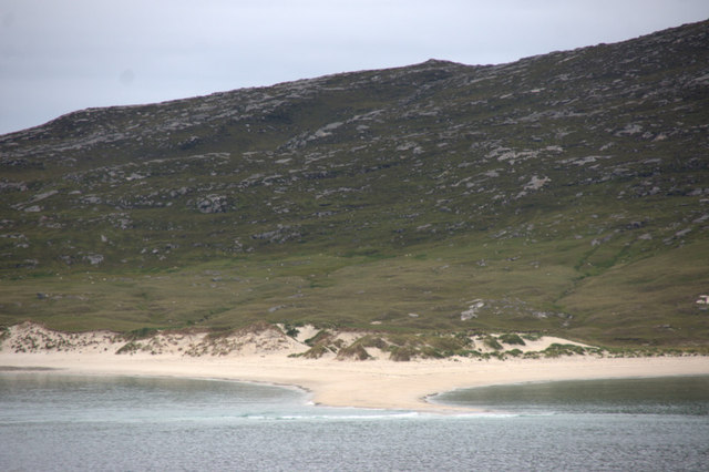
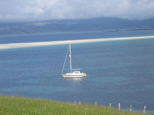
This coastal feature possesses several distinguishing attributes. Firstly, Druti-gya Beg is known for its rugged and imposing cliffs, formed through millions of years of erosion by the relentless waves of the Atlantic. These cliffs stand tall and are composed of various types of rock, including sandstone and granite, adding to its geological significance.

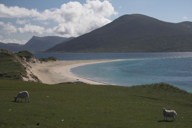
In addition to its geological appeal, Druti-gya Beg also offers breathtaking panoramic views of the surrounding area. Visitors to this headland are treated to awe-inspiring vistas of the vast ocean, as well as the stunning coastal landscape that stretches for miles in both directions. The headland's elevated position allows for unobstructed views, making it a popular destination for nature enthusiasts and photographers.

Druti-gya Beg is also home to a diverse range of wildlife. Many seabirds, such as gannets and puffins, can be observed nesting on the cliffs during the breeding season. The surrounding waters are frequented by seals and dolphins, which can sometimes be spotted from the headland.

Overall, Druti-gya Beg stands as a striking coastal feature in Inverness-shire, combining its geological significance, stunning views, and diverse wildlife to create an appealing destination for nature lovers and visitors seeking a glimpse of Scotland's natural beauty.

If you have any feedback on the listing, please let us know in the comments section below.

Druti-gya Beg Images

Images are sourced within 2km of 57.88878/-6.9976091 or Grid Reference NG0399. Thanks to Geograph Open Source API. All images are credited.
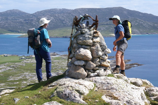
Taransay/Tarasaigh from the road side at Sheileboist
Corran Rà, Taransay, from Bruaichean Losgaintir
Corran Rà, Tarasaigh
Beinn na h-Uidhe Bagged after Ben Raah with Alex Cameron, Jim Bloomer and Martin Richardson on a lovely sunny afternoon.
Name: Beinn na h-Uidhe
Hill number: 104394
Height: 137m / 449ft
Area: 24B: Harris and Nearby Islands
Class: 1
Grid ref: NB020004 (est)
Drop: 59m
Col: 78m  NB017012
Beinn na h-Uidhe
Bagged after Ben Raah with Alex Cameron, Jim Bloomer and Martin Richardson on a lovely sunny afternoon. Name: Beinn na h-Uidhe Hill number: 104394 Height: 137m / 449ft Area: 24B: Harris and Nearby Islands Class: 1 Grid ref: NB020004 (est) Drop: 59m Col: 78m NB017012
Lower Slopes Of Ben Raah [Beinn Rà] Climbing up the lower slopes of Ben Raah [Beinn Rà] on Taransay.
Lower Slopes Of Ben Raah [Beinn Rà]
Climbing up the lower slopes of Ben Raah [Beinn Rà] on Taransay.
View Towards A Distant Ceapabhal A view towards a distance Ceapabhal on South Harris from the lower slopes of Ben Raah [Beinn Rà]. Loch an Dùin and Loch Sionadail are seen on Taransay.
View Towards A Distant Ceapabhal
A view towards a distance Ceapabhal on South Harris from the lower slopes of Ben Raah [Beinn Rà]. Loch an Dùin and Loch Sionadail are seen on Taransay.
Taransay/Tarasaigh from Seilebost About 3km across a calm, blue Sound of Taransay/Caolas Tharasaigh.
Taransay/Tarasaigh from Seilebost
About 3km across a calm, blue Sound of Taransay/Caolas Tharasaigh.
Lower slopes of Beinn Ra Much of Taransay is covered in a mixture of bare rock at an easy angle or thin peaty soil. The rock is Lewisian gneiss, of great age.
Lower slopes of Beinn Ra
Much of Taransay is covered in a mixture of bare rock at an easy angle or thin peaty soil. The rock is Lewisian gneiss, of great age.
Corran Ra A long spit of sand pointing towards Harris. Many islands have been joined together by sand, Taransay itself was probably two islands, and some believe Berneray and Pabbay were once joined. Here the process is incomplete, but it is easy to see how Taransay could have been a peninsula. The Harris beaches can be seen either side of the Losgantir firth.
Corran Ra
A long spit of sand pointing towards Harris. Many islands have been joined together by sand, Taransay itself was probably two islands, and some believe Berneray and Pabbay were once joined. Here the process is incomplete, but it is easy to see how Taransay could have been a peninsula. The Harris beaches can be seen either side of the Losgantir firth.
Dunes near the Corran. Sand dunes on the east coast of Taransay, looking across to Harris.
Dunes near the Corran.
Sand dunes on the east coast of Taransay, looking across to Harris.
Loch Cromlach (left) and Loch na Gaoithe (right), Taransay Loch Uir, (which is half in and half out of this grid square) is in the distance, left of centre. The shore near Paibell (location of the island's holiday cottages) is in the distance to the top right of the picture.
Taken from just below the summit of Benn na h-Uidhe.
Loch Cromlach (left) and Loch na Gaoithe (right), Taransay
Loch Uir, (which is half in and half out of this grid square) is in the distance, left of centre. The shore near Paibell (location of the island's holiday cottages) is in the distance to the top right of the picture. Taken from just below the summit of Benn na h-Uidhe.
Old shielings near Bochdag, Taransay This square is full of evidence of the activities of the farming communities. As well as these shielings (summer accommodation) are field systems and old peat cuttings. Remnants of pottery can be found in the area.
Old shielings near Bochdag, Taransay
This square is full of evidence of the activities of the farming communities. As well as these shielings (summer accommodation) are field systems and old peat cuttings. Remnants of pottery can be found in the area.
Sunset over Taransay
Taransay North Harris Hills in distance.
Taransay
North Harris Hills in distance.
Beinn na h-Uidhe The Sound of Taransay and the Castaway site are visible beyond.
Beinn na h-Uidhe
The Sound of Taransay and the Castaway site are visible beyond.
The sands of Luskentyre This image was taken on Taransay, and shows the sound of Taransay, the sand dunes of Luskentyre and Beinn Dhubh Losgaintir in the background.
The sands of Luskentyre
This image was taken on Taransay, and shows the sound of Taransay, the sand dunes of Luskentyre and Beinn Dhubh Losgaintir in the background.
Old Mill, Allt na Muilne,Taransay Situated between Loch Shinnadale and Loch a'Chromlaich, the mill was operational until around 1840. Allt na Muilne was the only reliable stream on the island of Taransay as a dam had been built on Loch Shinnadale and the water could be rushed down the Allt (stream/burn) during dry periods.
Old Mill, Allt na Muilne,Taransay
Situated between Loch Shinnadale and Loch a'Chromlaich, the mill was operational until around 1840. Allt na Muilne was the only reliable stream on the island of Taransay as a dam had been built on Loch Shinnadale and the water could be rushed down the Allt (stream/burn) during dry periods.
Allt a'Ghill, Taransay A beautiful burn which runs into Corran Rà, an impressive sand spit on the Island of Taransay.
Allt a'Ghill, Taransay
A beautiful burn which runs into Corran Rà, an impressive sand spit on the Island of Taransay.
Show me another place!

Druti-gya Beg is located at Grid Ref: NG0399 (Lat: 57.88878, Lng: -6.9976091)

Unitary Authority: Na h-Eileanan an Iar

Police Authority: Highlands and Islands

What 3 Words

///classmate.jumped.banks. Near Tarbert, Na h-Eileanan Siar

Related Wikis

Taransay

Taransay (Scottish Gaelic: Tarasaigh, pronounced [ˈt̪ʰaɾas̪aj]) is an island in the Outer Hebrides of Scotland. It was the host of the British television...

Luskentyre

Luskentyre (Scottish Gaelic: Losgaintir) is a sparse settlement on the west coast of Harris, in the Outer Hebrides, Scotland. Luskentyre is situated within...

Borve, Harris

Borve (Scottish Gaelic: Na Buirgh) is a village in Harris in the Outer Hebrides, Scotland. Borve is also within the parish of Harris, and is on the A859...

West Loch Tarbert

West Loch Tarbert (Scottish Gaelic: Loch A Siar) is a sea loch that separates the northern and southern parts of Harris in the Outer Hebrides of Scotland...

Nearby Amenities

Located within 500m of 57.88878,-6.9976091
Raa
Alt Name En: Raah
Place: locality
Lat/Long: 57.8893887/-6.9985842
The data included in this document is from www.openstreetmap.org. The data is made available under ODbL.

Have you been to Druti-gya Beg?

Leave your review of Druti-gya Beg below (or comments, questions and feedback).