Tota Ruairidh

Coastal Feature, Headland, Point in Ross-shire

Scotland

Tota Ruairidh

Cappadale Sands
Cappadale Sands Credit: Sandy Gerrard

Tota Ruairidh is a prominent coastal feature located in Ross-shire, a county in the Highland region of Scotland. It is known as a headland or point, jutting out into the waters of the North Atlantic Ocean. The name "Tota Ruairidh" is derived from Scottish Gaelic, with "Tota" meaning "promontory" and "Ruairidh" being a personal name.

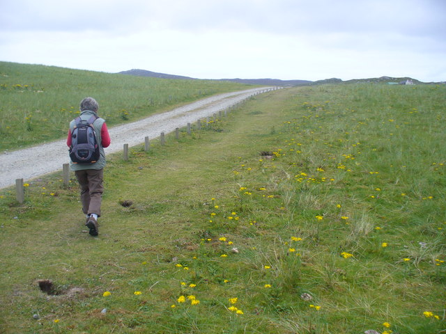
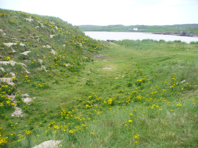
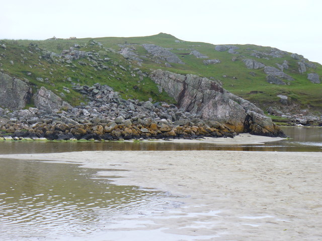
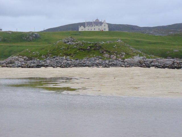
Situated on the western coast of Ross-shire, Tota Ruairidh offers breathtaking views of the surrounding landscape. The headland is characterized by rugged cliffs that rise dramatically from the sea, providing a striking contrast against the azure waters. The rocky terrain is home to a diverse range of flora and fauna, including seabirds, wildflowers, and various species of marine life.

Tota Ruairidh is a popular destination for nature enthusiasts and outdoor lovers. Visitors can explore the headland by following well-marked trails that wind through the coastal heathland and offer panoramic vistas of the coastline. The area is also known for its impressive rock formations, which have been shaped by centuries of erosion from the crashing waves.

The headland is not only a scenic spot but also holds historical significance. It is believed to have been inhabited since ancient times, with archaeological evidence suggesting human presence in the area dating back thousands of years. Tota Ruairidh's strategic location made it an ideal site for defensive structures, and remnants of fortifications can still be seen today.

Overall, Tota Ruairidh in Ross-shire is a captivating coastal feature that combines stunning natural beauty with a rich historical heritage. Its rugged cliffs, diverse wildlife, and panoramic views make it a must-visit destination for those seeking to immerse themselves in Scotland's coastal splendor.

If you have any feedback on the listing, please let us know in the comments section below.

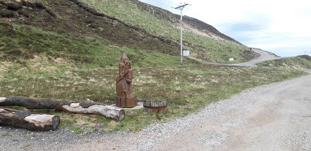
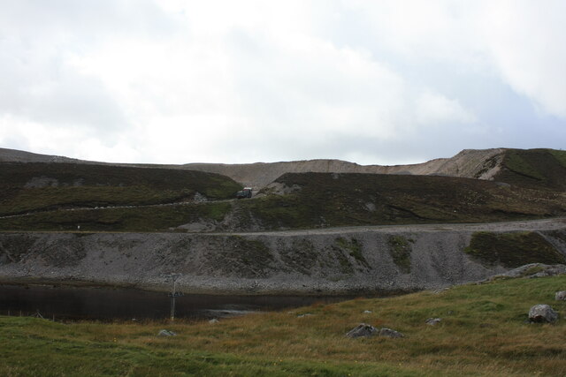
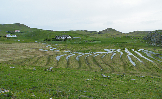
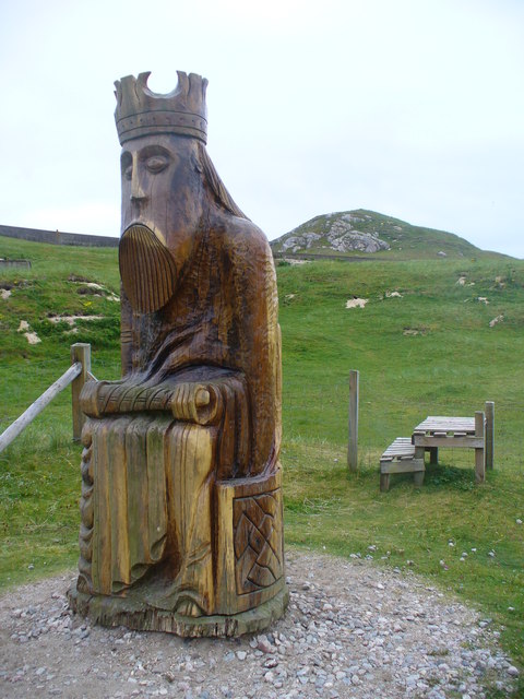
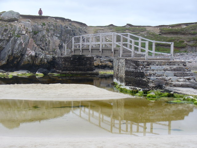
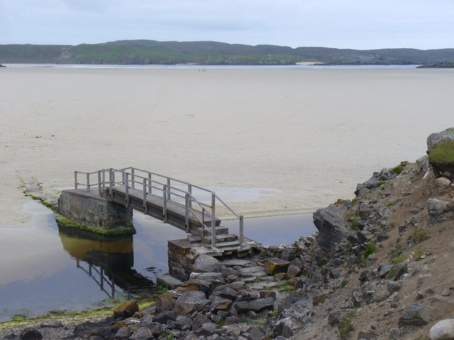
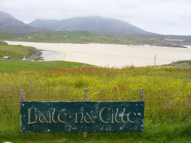
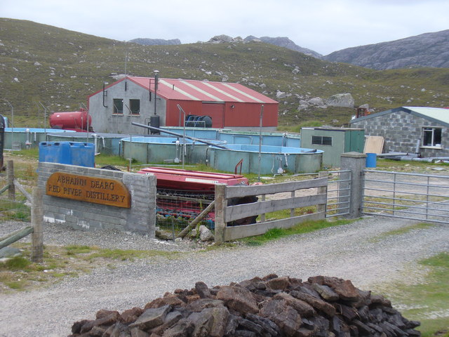
Tota Ruairidh Images

Images are sourced within 2km of 58.182927/-7.0506112 or Grid Reference NB0332. Thanks to Geograph Open Source API. All images are credited.

Cappadale Sands
Cappadale Sands
Beach and headland at Carnais
Beach at Carnais
Beach at Carnais
Wooden sculpture of a Lewis Knight Chess Piece at the Abhainn Dearg Distillery car park
Tom A small tidal island near Carnais.
Tom
A small tidal island near Carnais.
The Gravel Pits at Carnais, on the Red River, Uig, Lewis The Abhainn Dearg Distillery lies to the left of the picture. The Red River - Ahbainn Dearg flows to the sea at the foot of the scree slope, but is shown on the OS Sheet as Abhainn Caslabhat.
The Gravel Pits at Carnais, on the Red River, Uig, Lewis
The Abhainn Dearg Distillery lies to the left of the picture. The Red River - Ahbainn Dearg flows to the sea at the foot of the scree slope, but is shown on the OS Sheet as Abhainn Caslabhat.
Waterlogged Lazybeds After a day of torrential rain, the old lazybeds at Eadar Dha Fhadail (Ardroil) are almost submerged by flooding.
Waterlogged Lazybeds
After a day of torrential rain, the old lazybeds at Eadar Dha Fhadail (Ardroil) are almost submerged by flooding.
Cappadale Sands The map names this arm of Tràigh Uige as Cappadale Sands. As the tide is in, the sand is only visible through the water, giving it that characteristic Hebridean turquoise colour. It would have been even better in sunshine. The hill on the skyline is Forsnabhal (205 metres), and the houses at the far side of the bay are at Timsgearraidh.
Cappadale Sands
The map names this arm of Tràigh Uige as Cappadale Sands. As the tide is in, the sand is only visible through the water, giving it that characteristic Hebridean turquoise colour. It would have been even better in sunshine. The hill on the skyline is Forsnabhal (205 metres), and the houses at the far side of the bay are at Timsgearraidh.
Càrnais (Carinish) Two cottages overlooking Tràigh Lèire at the head of Cappadale Sands in Uig Bay.
Càrnais (Carinish)
Two cottages overlooking Tràigh Lèire at the head of Cappadale Sands in Uig Bay.
Wooden King, Uig Sculpture based on one of the famous Lewis chessmen, sited close to the cemetery at Uig.
<span class="nowrap"><a title="http://www.uigandbernera.com/" rel="nofollow ugc noopener" href="http://www.uigandbernera.com/">Link</a><img style="margin-left:2px;" alt="External link" title="External link - shift click to open in new window" src="https://s1.geograph.org.uk/img/external.png" width="10" height="10"/></span>
Wooden King, Uig
Sculpture based on one of the famous Lewis chessmen, sited close to the cemetery at Uig. LinkExternal link
Track to Uig Sands Paralleled by a grassy footpath across the machair.
<span class="nowrap"><a title="http://www.uigandbernera.com/" rel="nofollow ugc noopener" href="http://www.uigandbernera.com/">Link</a><img style="margin-left:2px;" alt="External link" title="External link - shift click to open in new window" src="https://s1.geograph.org.uk/img/external.png" width="10" height="10"/></span>
Track to Uig Sands
Paralleled by a grassy footpath across the machair. LinkExternal link
Sand Dunes at Uig Flanking the wide expanses of sand flats at Uig Bay.
<span class="nowrap"><a title="http://www.uigandbernera.com/" rel="nofollow ugc noopener" href="http://www.uigandbernera.com/">Link</a><img style="margin-left:2px;" alt="External link" title="External link - shift click to open in new window" src="https://s1.geograph.org.uk/img/external.png" width="10" height="10"/></span>
Sand Dunes at Uig
Flanking the wide expanses of sand flats at Uig Bay. LinkExternal link
Outflow at Tràigh Ùige Rivermouth where the outflow is hemmed beneath rocky crags.
<span class="nowrap"><a title="http://www.uigandbernera.com/" rel="nofollow ugc noopener" href="http://www.uigandbernera.com/">Link</a><img style="margin-left:2px;" alt="External link" title="External link - shift click to open in new window" src="https://s1.geograph.org.uk/img/external.png" width="10" height="10"/></span>
Outflow at Tràigh Ùige
Rivermouth where the outflow is hemmed beneath rocky crags. LinkExternal link
Dun Borrainais Remains of an Early Iron Age fort below a rocky promontory at Uig Sands.
<span class="nowrap"><a title="http://www.uigandbernera.com/" rel="nofollow ugc noopener" href="http://www.uigandbernera.com/">Link</a><img style="margin-left:2px;" alt="External link" title="External link - shift click to open in new window" src="https://s1.geograph.org.uk/img/external.png" width="10" height="10"/></span>
Dun Borrainais
Remains of an Early Iron Age fort below a rocky promontory at Uig Sands. LinkExternal link
Footbridge at Uig Sands 1980 wooden footbridge connecting Traigh Uige with the rocky promontory above Dun Borranais.
<span class="nowrap"><a title="http://www.uigandbernera.com/" rel="nofollow ugc noopener" href="http://www.uigandbernera.com/">Link</a><img style="margin-left:2px;" alt="External link" title="External link - shift click to open in new window" src="https://s1.geograph.org.uk/img/external.png" width="10" height="10"/></span>
Footbridge at Uig Sands
1980 wooden footbridge connecting Traigh Uige with the rocky promontory above Dun Borranais. LinkExternal link
Borranais a Muigh The northern end of Traigh Uige's expanses of sand flats with the 1980 footbridge across the river close to Dun Borranais.
<span class="nowrap"><a title="http://www.uigandbernera.com/" rel="nofollow ugc noopener" href="http://www.uigandbernera.com/">Link</a><img style="margin-left:2px;" alt="External link" title="External link - shift click to open in new window" src="https://s1.geograph.org.uk/img/external.png" width="10" height="10"/></span>
Borranais a Muigh
The northern end of Traigh Uige's expanses of sand flats with the 1980 footbridge across the river close to Dun Borranais. LinkExternal link
Baile-na-Cille View from the road end, across the machair, to Traigh na Cille and Traigh Uige.
<span class="nowrap"><a title="http://www.uigandbernera.com/" rel="nofollow ugc noopener" href="http://www.uigandbernera.com/">Link</a><img style="margin-left:2px;" alt="External link" title="External link - shift click to open in new window" src="https://s1.geograph.org.uk/img/external.png" width="10" height="10"/></span>
Baile-na-Cille
View from the road end, across the machair, to Traigh na Cille and Traigh Uige. LinkExternal link
Abhainn Dearg Distillery The first legal distillery in the Western Isles - and now (Oct 2011) selling Red River whisky for the first time - 3 years old Uisgebaugh.
Note the peat stack in the foreground.
<span class="nowrap"><a title="http://www.abhainndearg.co.uk/" rel="nofollow ugc noopener" href="http://www.abhainndearg.co.uk/">Link</a><img style="margin-left:2px;" alt="External link" title="External link - shift click to open in new window" src="https://s1.geograph.org.uk/img/external.png" width="10" height="10"/></span>
Abhainn Dearg Distillery
The first legal distillery in the Western Isles - and now (Oct 2011) selling Red River whisky for the first time - 3 years old Uisgebaugh. Note the peat stack in the foreground. LinkExternal link
Show me another place!

Tota Ruairidh is located at Grid Ref: NB0332 (Lat: 58.182927, Lng: -7.0506112)

Unitary Authority: Na h-Eileanan an Iar

Police Authority: Highlands and Islands

What 3 Words

///subject.robes.flown. Near Carloway, Na h-Eileanan Siar

Related Wikis

Nearby Amenities

Located within 500m of 58.182927,-7.0506112
Man Made: utility_pole
Lat/Long: 58.1788389/-7.0534222
Man Made: utility_pole
Lat/Long: 58.1790741/-7.0540955
Man Made: utility_pole
Lat/Long: 58.1794368/-7.0548441
Power: pole
Lat/Long: 58.1794767/-7.0548797
Power: pole
Lat/Long: 58.1790891/-7.0541456
Power: pole
Lat/Long: 58.1788478/-7.0534358
The data included in this document is from www.openstreetmap.org. The data is made available under ODbL.

Have you been to Tota Ruairidh?

Leave your review of Tota Ruairidh below (or comments, questions and feedback).