Cnoc nam Brisgein
Hill, Mountain in Ross-shire
Scotland
Cnoc nam Brisgein

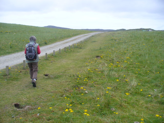
Cnoc nam Brisgein is a prominent hill located in Ross-shire, Scotland. Situated in the northern part of the Highlands, it forms part of the picturesque landscape of the region. The hill is known for its stunning views and challenging hiking trails, making it a popular destination for outdoor enthusiasts and nature lovers.
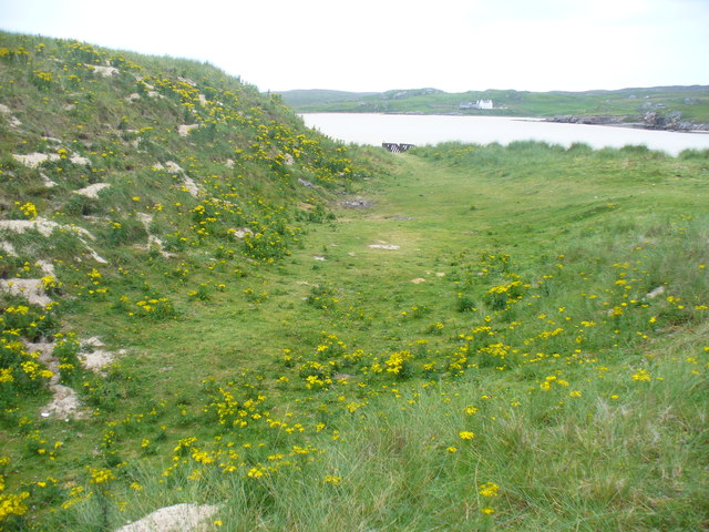
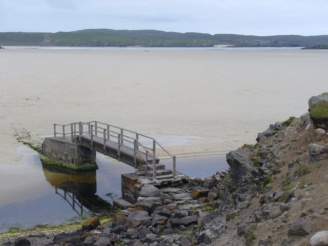
Standing at an elevation of approximately 550 meters (1804 feet), Cnoc nam Brisgein offers panoramic vistas of the surrounding countryside, including the rolling hills, lochs, and valleys that characterize the area. On a clear day, visitors can even catch a glimpse of the nearby coastline and the shimmering waters of the North Sea.
The hill is covered in heather and grass, providing a beautiful tapestry of colors that change with the seasons. It is home to a variety of flora and fauna, including native Scottish wildlife such as red deer, mountain hares, and various species of birds.
Hiking to the summit of Cnoc nam Brisgein can be a challenging endeavor, as the terrain becomes steeper and more rugged as one ascends. However, the effort is rewarded with breathtaking views and a sense of accomplishment upon reaching the top.
Due to its remote location, it is recommended that visitors come prepared with appropriate gear and clothing, as the weather can change rapidly in the Highlands. Additionally, it is important to respect the natural environment and adhere to any local regulations or guidelines in order to preserve the beauty and integrity of Cnoc nam Brisgein for future generations to enjoy.
If you have any feedback on the listing, please let us know in the comments section below.
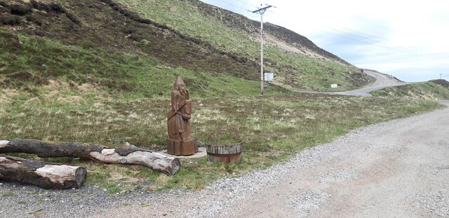
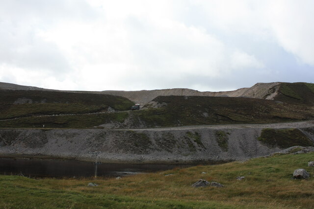
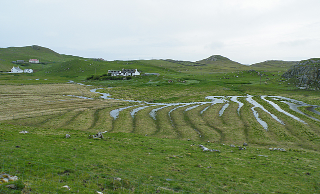
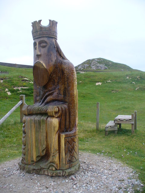
Cnoc nam Brisgein Images
Images are sourced within 2km of 58.180506/-7.0533499 or Grid Reference NB0332. Thanks to Geograph Open Source API. All images are credited.


Cnoc nam Brisgein is located at Grid Ref: NB0332 (Lat: 58.180506, Lng: -7.0533499)
Unitary Authority: Na h-Eileanan an Iar
Police Authority: Highlands and Islands
What 3 Words
///causes.pulp.looms. Near Carloway, Na h-Eileanan Siar
Related Wikis

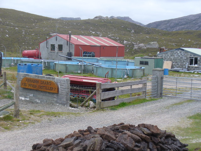
Abhainn Dearg distillery
Abhainn Dearg distillery ( AV-in JAIRG) or Red River distillery is a Scotch whisky distillery in Uig, on the west coast of the Isle of Lewis in the Outer...

Ardroil
Ardroil (Scottish Gaelic: Eadar Dhà Fhadhail) is a village on the Isle of Lewis in the Outer Hebrides, Scotland. Ardroil is within the parish of Uig....

Uig, Lewis
Uig (Scottish Gaelic: Ùig [uːkʲ]), also known as Sgìr' Ùig, is a civil parish and community in the west of the Isle of Lewis in the Outer Hebrides, Scotland...

Timsgarry
Timsgarry (Scottish Gaelic: Tuimisgearraidh) is a village on the Isle of Lewis, in the Outer Hebrides, Scotland. Timsgarry is home to the Baile na Cille...

Stac Dhòmhnaill Chaim
Stac Dhòmnuill Chaim, or Stac Dhòmhnaill Chaim, or Stac Domhnuill Chaim, is a fortified promontory located near Mangursta (or Mangersta, Scottish Gaelic...

Camas Uig
Camas Uig (Uig Bay) is a bay on the west coast of the Isle of Lewis, in the Outer Hebrides of Scotland. The Lewis Chessmen were discovered in the dunes...
Gasker
Gasker is a small uninhabited islet in the Outer Hebrides of Scotland, 8 kilometres (4+1⁄2 nautical miles) southwest of Scarp, off the west coast of Harris...

Aird Uig
Aird Uig (Scottish Gaelic: Àird Ùig) is a village on the Isle of Lewis, in the Outer Hebrides, Scotland. Aird Uig is within the parish of Uig, and is situated...
Nearby Amenities
Located within 500m of 58.180506,-7.0533499Have you been to Cnoc nam Brisgein?
Leave your review of Cnoc nam Brisgein below (or comments, questions and feedback).