Mol Garbh
Coastal Feature, Headland, Point in Inverness-shire
Scotland
Mol Garbh
Mol Garbh is a prominent coastal feature located in Inverness-shire, Scotland. It is classified as a headland or point and is situated on the western coast of the county, overlooking the North Atlantic Ocean. It is positioned approximately 9 miles northwest of the town of Ullapool.
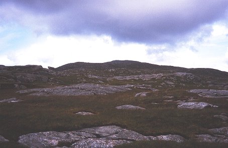
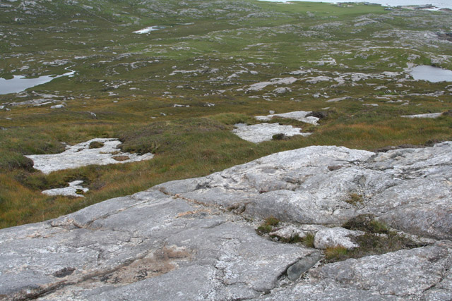
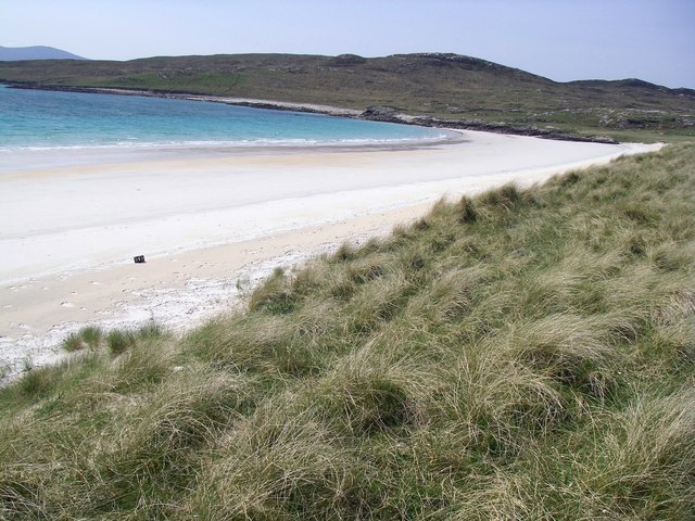
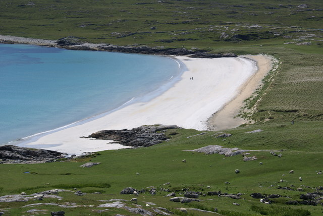
The name "Mol Garbh" translates to "rough mound" in Scottish Gaelic, which accurately reflects the rugged and wild nature of this coastal formation. It is characterized by steep cliffs and rocky outcrops, providing breathtaking views of the surrounding coastal landscape. These cliffs are often subjected to strong winds and crashing waves, adding to the dramatic beauty of the area.
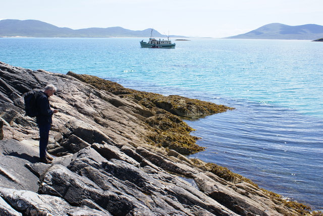
The headland is home to a diverse range of flora and fauna, with various seabirds nesting and soaring along the cliffs. Additionally, the surrounding waters are known for their rich marine life, making it a popular spot for fishing and wildlife enthusiasts.
Due to its remote location, Mol Garbh offers a sense of tranquility and seclusion, attracting visitors who seek solace in nature. Hikers and nature lovers can explore the headland via coastal walking paths, which offer stunning vistas of the North Atlantic and the nearby Summer Isles.
Overall, Mol Garbh is a captivating coastal feature in Inverness-shire, providing a unique blend of rugged beauty, diverse wildlife, and a peaceful atmosphere for those who venture to this remote corner of Scotland.
If you have any feedback on the listing, please let us know in the comments section below.
Mol Garbh Images
Images are sourced within 2km of 57.890767/-7.036945 or Grid Reference NB0100. Thanks to Geograph Open Source API. All images are credited.

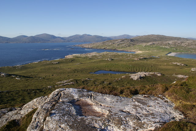
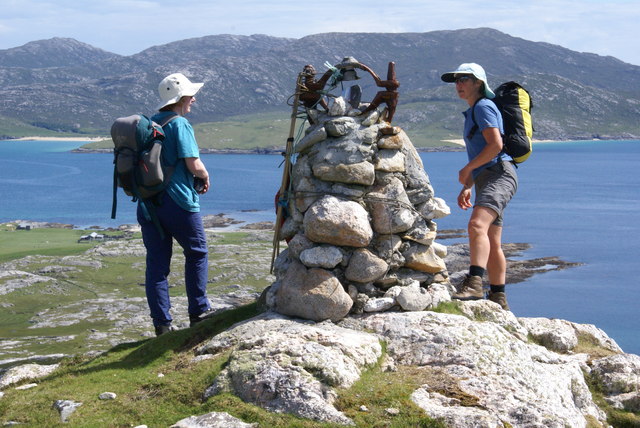
![Lower Slopes Of Ben Raah [Beinn RÃ ] Climbing up the lower slopes of Ben Raah [Beinn Rà] on Taransay.](https://s3.geograph.org.uk/geophotos/03/68/54/3685479_57724ab2.jpg)
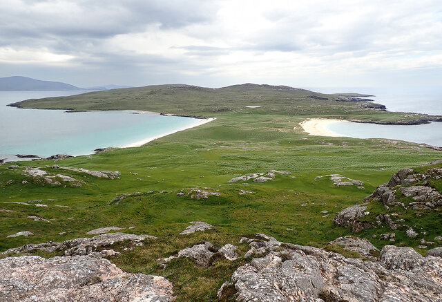
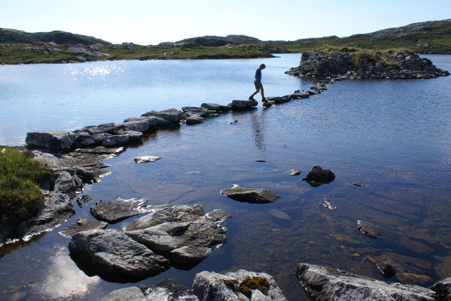
![View Towards A Distant Ceapabhal A view towards a distance Ceapabhal on South Harris from the lower slopes of Ben Raah [Beinn Rà]. Loch an Dùin and Loch Sionadail are seen on Taransay.](https://s1.geograph.org.uk/geophotos/03/68/54/3685497_3605f17b.jpg)

Mol Garbh is located at Grid Ref: NB0100 (Lat: 57.890767, Lng: -7.036945)
Unitary Authority: Na h-Eileanan an Iar
Police Authority: Highlands and Islands
What 3 Words
///lawn.wildfires.brambles. Near Tarbert, Na h-Eileanan Siar
Nearby Locations
Related Wikis

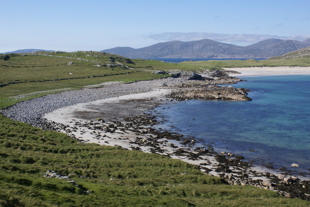
Taransay
Taransay (Scottish Gaelic: Tarasaigh, pronounced [ˈt̪ʰaɾas̪aj]) is an island in the Outer Hebrides of Scotland. It was the host of the British television...

Luskentyre
Luskentyre (Scottish Gaelic: Losgaintir) is a sparse settlement on the west coast of Harris, in the Outer Hebrides, Scotland. Luskentyre is situated within...

Borve, Harris
Borve (Scottish Gaelic: Na Buirgh) is a village in Harris in the Outer Hebrides, Scotland. Borve is also within the parish of Harris, and is on the A859...

Soay Beag
Soay Beag (Scottish Gaelic: Sòdhaigh Beag) is a small, uninhabited tidal island in West Loch Tarbert, between the northern and southern parts of Harris...
Nearby Amenities
Located within 500m of 57.890767,-7.036945Have you been to Mol Garbh?
Leave your review of Mol Garbh below (or comments, questions and feedback).