Rubha Phàil
Coastal Feature, Headland, Point in Ross-shire
Scotland
Rubha Phàil

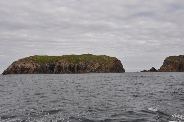
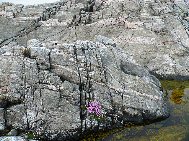
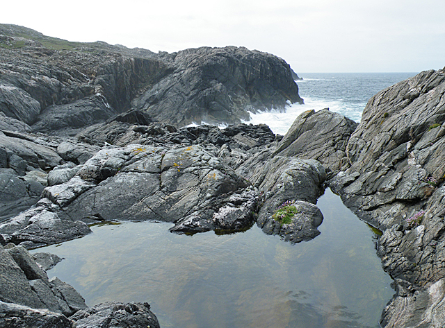
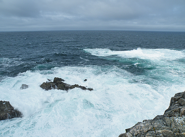
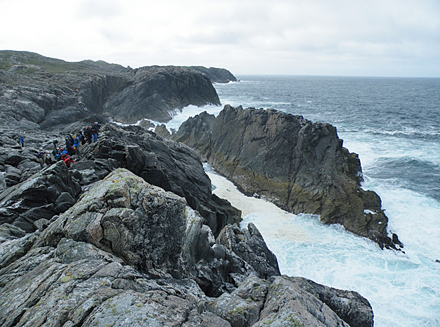
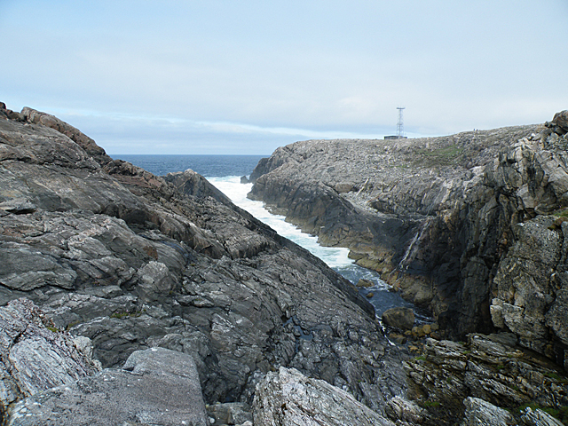
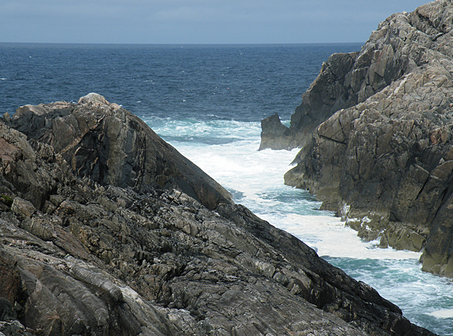
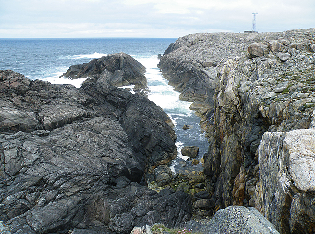
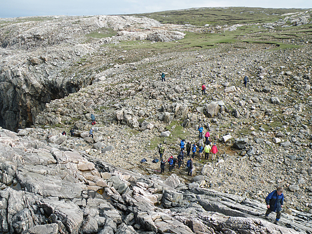
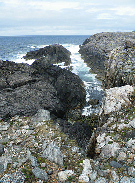
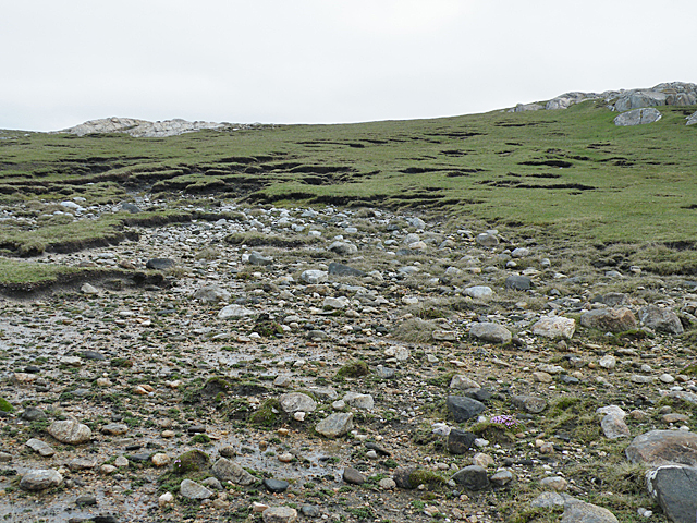
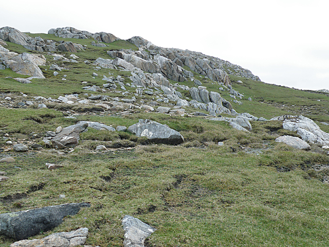
Rubha Phàil is a prominent headland located in Ross-shire, a county in the Scottish Highlands. Situated on the western coast, this coastal feature juts out into the North Atlantic Ocean, offering breathtaking views of the surrounding landscape. The headland is characterized by its rugged cliffs, which reach heights of up to 50 meters, providing a dramatic backdrop against the crashing waves below.
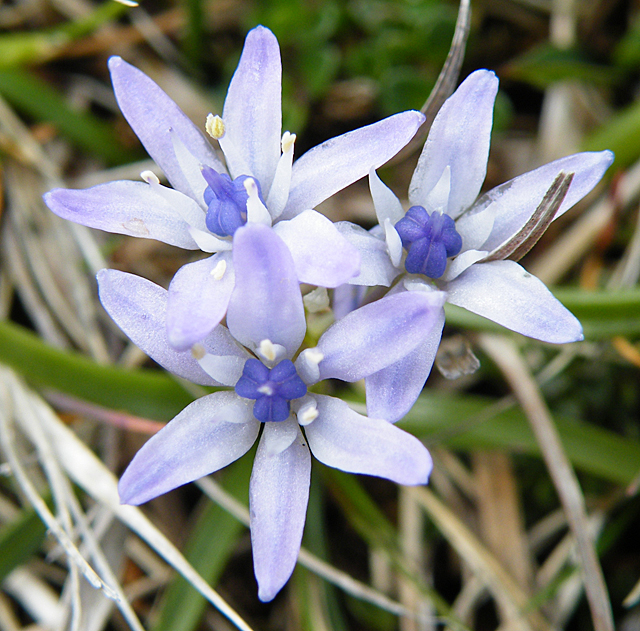
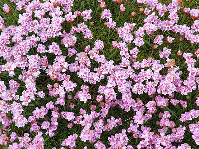
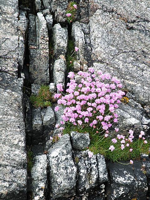
The name Rubha Phàil translates to "Paul's Point" in English, and it is believed to have been named after an early Christian missionary who may have settled in the area. The headland is a popular destination for outdoor enthusiasts and nature lovers due to its diverse wildlife and natural beauty. Visitors can enjoy long walks along the coastal path, taking in the stunning panoramic vistas of the ocean and the nearby mountains.
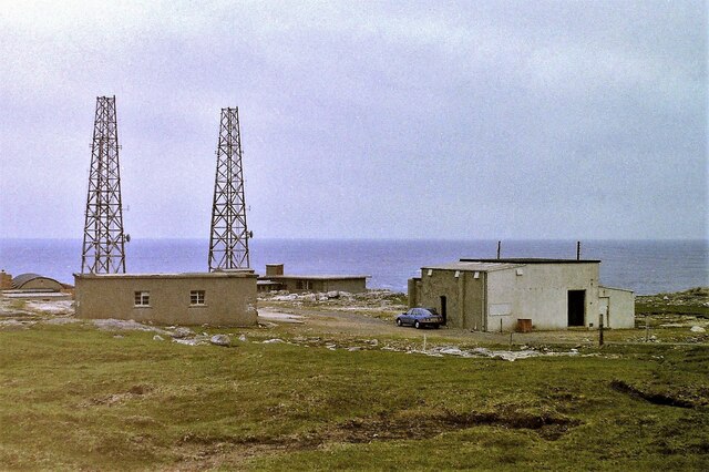
One of the notable features of Rubha Phàil is the presence of several sea caves that have formed over centuries of erosion. These caves, which can only be accessed during low tide, are home to a variety of marine life, including seals and seabirds. The headland also features a lighthouse that was built in the 19th century to guide ships navigating the treacherous waters in the area.
Rubha Phàil is an important site for birdwatchers, as it serves as a nesting ground for various seabirds, including puffins, guillemots, and razorbills. The headland is also known for its rich marine biodiversity, with sightings of dolphins, porpoises, and even whales reported by lucky visitors.
Overall, Rubha Phàil is a captivating coastal feature that attracts visitors with its stunning natural scenery, wildlife, and historical significance.
If you have any feedback on the listing, please let us know in the comments section below.
Rubha Phàil Images
Images are sourced within 2km of 58.187452/-7.0946795 or Grid Reference NB0033. Thanks to Geograph Open Source API. All images are credited.

Rubha Phàil is located at Grid Ref: NB0033 (Lat: 58.187452, Lng: -7.0946795)
Unitary Authority: Na h-Eileanan an Iar
Police Authority: Highlands and Islands
What 3 Words
///kilts.bring.vies. Near Carloway, Na h-Eileanan Siar
Nearby Locations
Related Wikis

Stac Dhòmhnaill Chaim
Stac Dhòmnuill Chaim, or Stac Dhòmhnaill Chaim, or Stac Domhnuill Chaim, is a fortified promontory located near Mangursta (or Mangersta, Scottish Gaelic...

Abhainn Dearg distillery
Abhainn Dearg distillery ( AV-in JAIRG) or Red River distillery is a Scotch whisky distillery in Uig, on the west coast of the Isle of Lewis in the Outer...

Ardroil
Ardroil (Scottish Gaelic: Eadar Dhà Fhadhail) is a village on the Isle of Lewis in the Outer Hebrides, Scotland. Ardroil is within the parish of Uig....

Uig, Lewis
Uig (Scottish Gaelic: Ùig [uːkʲ]), also known as Sgìr' Ùig, is a civil parish and community in the west of the Isle of Lewis in the Outer Hebrides, Scotland...

Timsgarry
Timsgarry (Scottish Gaelic: Tuimisgearraidh) is a village on the Isle of Lewis, in the Outer Hebrides, Scotland. Timsgarry is home to the Baile na Cille...

Camas Uig
Camas Uig (Uig Bay) is a bay on the west coast of the Isle of Lewis, in the Outer Hebrides of Scotland. The Lewis Chessmen were discovered in the dunes...
Gasker
Gasker is a small uninhabited islet in the Outer Hebrides of Scotland, 8 kilometres (4+1⁄2 nautical miles) southwest of Scarp, off the west coast of Harris...

Aird Uig
Aird Uig (Scottish Gaelic: Àird Ùig) is a village on the Isle of Lewis, in the Outer Hebrides, Scotland. Aird Uig is within the parish of Uig, and is situated...
Nearby Amenities
Located within 500m of 58.187452,-7.0946795Have you been to Rubha Phàil?
Leave your review of Rubha Phàil below (or comments, questions and feedback).