Seilearo
Coastal Feature, Headland, Point in Ross-shire
Scotland
Seilearo

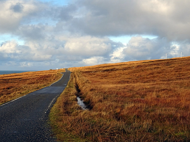
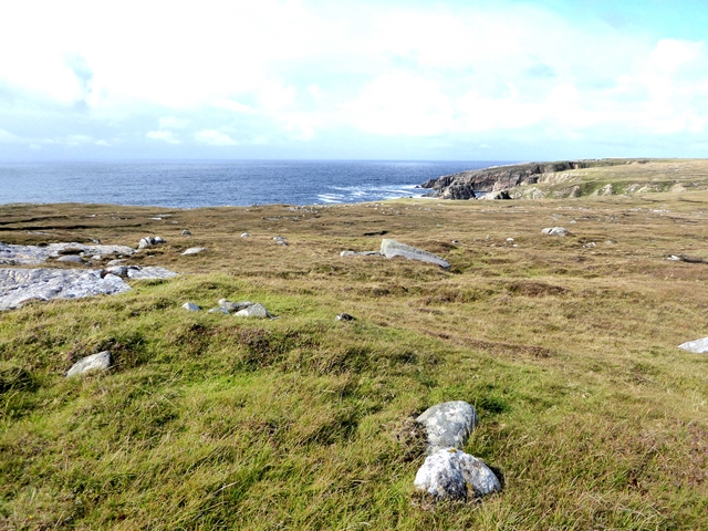
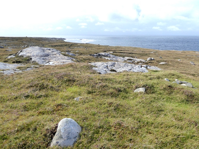
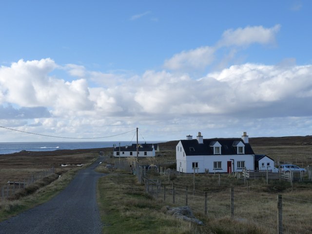
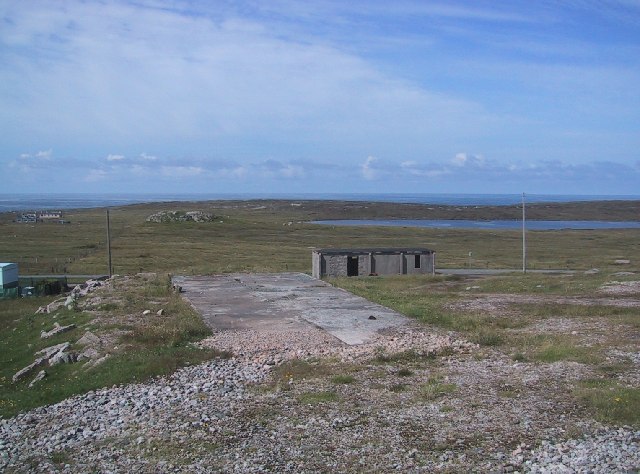
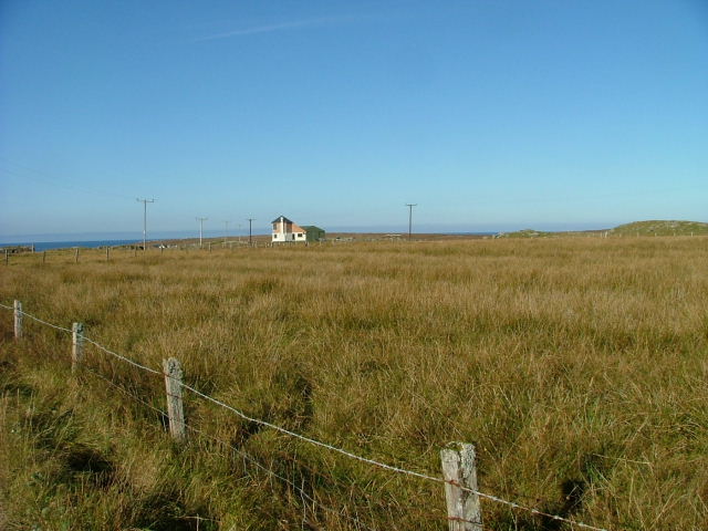
Seilearo is a prominent coastal feature located in Ross-shire, Scotland. It is a headland that extends out into the North Sea, forming a distinctive point along the coastline. The name "Seilearo" is derived from the Gaelic language, reflecting the area's rich cultural heritage.
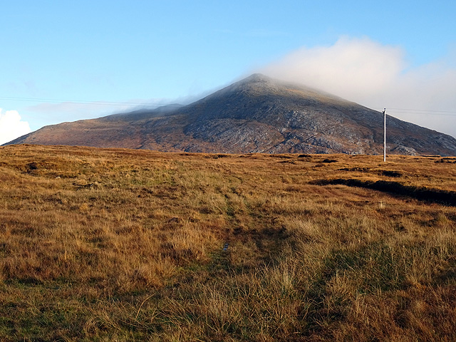
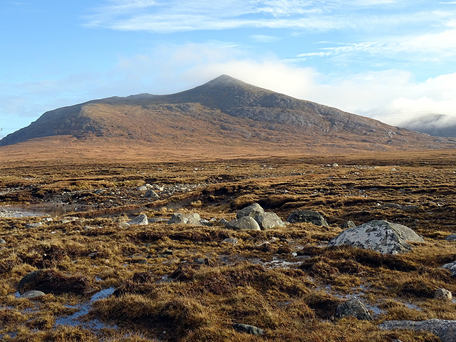
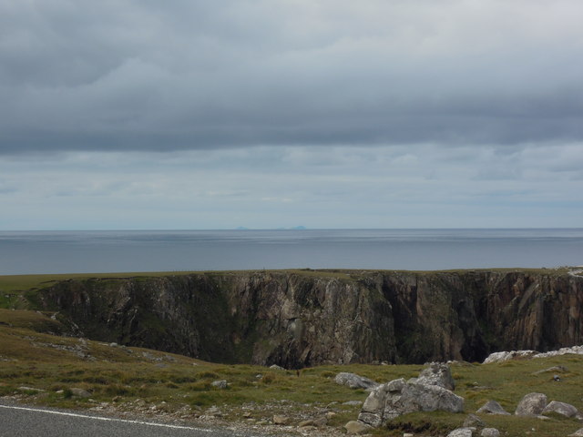
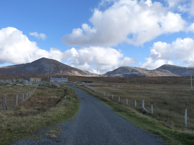
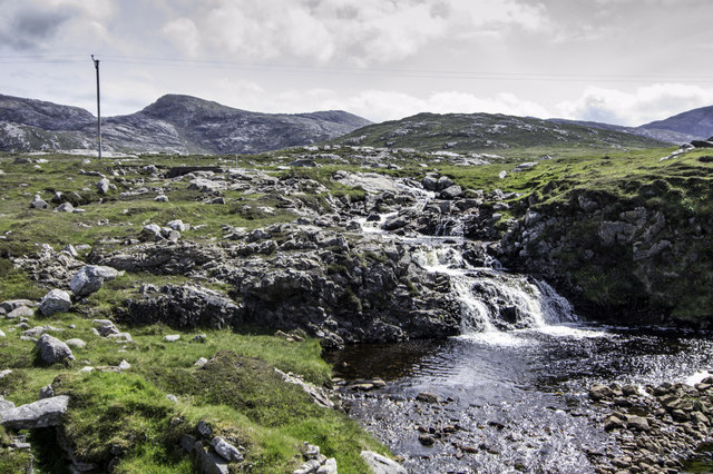
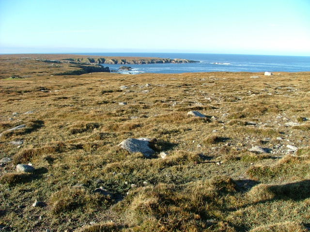
This headland is characterized by its rugged terrain and dramatic cliffs that rise steeply from the sea. The cliffs are composed of hard rock formations, which have been shaped by centuries of erosion from the crashing waves and strong coastal winds. They provide a breathtaking backdrop and offer spectacular views of the surrounding landscape.
Seilearo is a popular destination for nature enthusiasts and hikers due to its unique geological features and diverse wildlife. The area is home to a variety of seabirds, including puffins, gannets, and kittiwakes, which nest on the cliffs during the breeding season. Visitors can often spot seals basking on the rocks or swimming in the nearby waters.
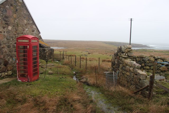
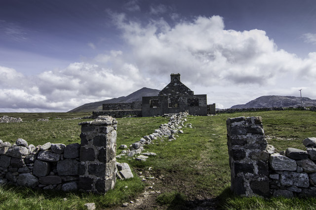
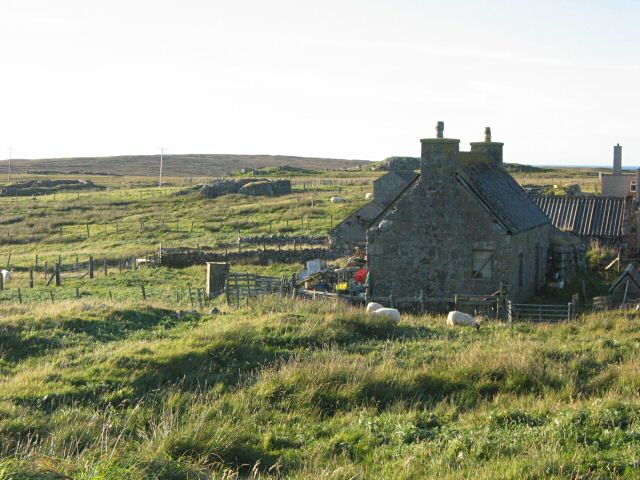
In addition to its natural beauty, Seilearo has historical significance. The headland was once a strategic location for coastal defense during times of conflict. Ruins of ancient fortifications can still be seen, reminding visitors of the area's past.
Access to Seilearo is primarily by foot, with several walking trails that lead to the headland. Visitors are advised to be cautious and wear appropriate footwear due to the uneven and steep terrain.
If you have any feedback on the listing, please let us know in the comments section below.
Seilearo Images
Images are sourced within 2km of 58.130953/-7.1285858 or Grid Reference NA9827. Thanks to Geograph Open Source API. All images are credited.
Seilearo is located at Grid Ref: NA9827 (Lat: 58.130953, Lng: -7.1285858)
Unitary Authority: Na h-Eileanan an Iar
Police Authority: Highlands and Islands
What 3 Words
///grub.drain.large. Near Carloway, Na h-Eileanan Siar
Nearby Locations
Related Wikis

Brenish
Brenish (Scottish Gaelic: Brèinis) is a small village situated on the west coast of the Isle of Lewis, which is part of the Outer Hebrides of Scotland...

Mealista
Mealista (Scottish Gaelic: Mealasta) was a township in the west of the Isle of Lewis. It is currently largely uninhabited due to the Highland Clearances...

Game pieces of the Lewis chessmen hoard
Game pieces of the Lewis chessmen hoard include the ninety-three game pieces of the Lewis chessmen hoard found on the Isle of Lewis in the Outer Hebrides...

Stac Dhòmhnaill Chaim
Stac Dhòmnuill Chaim, or Stac Dhòmhnaill Chaim, or Stac Domhnuill Chaim, is a fortified promontory located near Mangursta (or Mangersta, Scottish Gaelic...
Nearby Amenities
Located within 500m of 58.130953,-7.1285858Have you been to Seilearo?
Leave your review of Seilearo below (or comments, questions and feedback).