Shag Point

Coastal Feature, Headland, Point in Cornwall

England

Shag Point

Lower Town Quay The smaller of the two quays on St Martin’s. The larger quay at Higher Town is the one used for freight deliveries, but is inaccessible at a low tide.

The island behind is the uninhabited Tean (pronounced tea-an).
Lower Town Quay Credit: David Lally

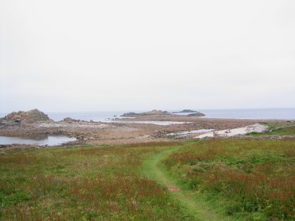
Shag Point is a prominent headland located on the north coast of Cornwall, England. Situated approximately 10 miles southwest of the popular tourist town of Newquay, it is known for its striking natural beauty and rugged coastal landscape.

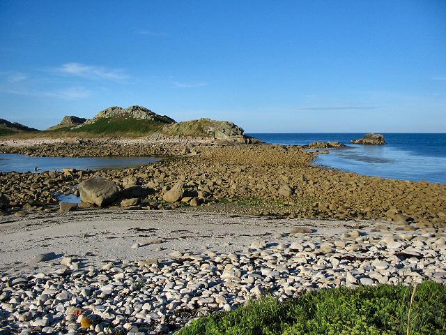
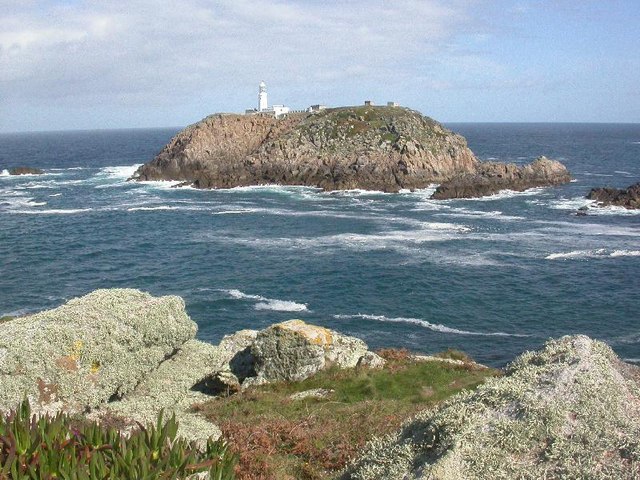
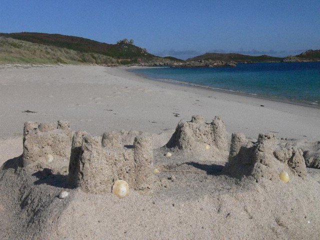
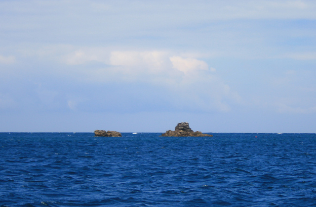
The headland juts out into the Atlantic Ocean, offering breathtaking panoramic views of the surrounding area. Its unique geological formations, characterized by steep cliffs and rocky outcrops, make it a popular spot for walkers, hikers, and nature enthusiasts. The coastline surrounding Shag Point is also home to a diverse array of wildlife, including seals, seabirds, and even the occasional dolphin or whale sighting.

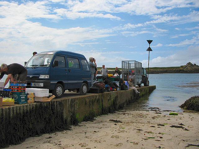
Shag Point is easily accessible by both land and sea. There are several walking trails that lead visitors along the top of the cliffs, providing uninterrupted vistas of the dramatic coastline. For those who prefer a more adventurous approach, the headland can also be reached by boat, allowing for a different perspective of the rugged cliffs and hidden coves.

The area surrounding Shag Point is rich in history and heritage. The nearby village of St. Agnes offers a glimpse into Cornwall's mining past, with remnants of tin and copper mines scattered across the landscape. The headland itself is believed to have been a strategic lookout point during ancient times, and there are several archaeological sites in the vicinity.

Overall, Shag Point is a captivating coastal feature that showcases the natural beauty and rich history of Cornwall. Whether it's for a leisurely walk, a wildlife-spotting adventure, or a glimpse into the region's past, this headland offers something for everyone.

If you have any feedback on the listing, please let us know in the comments section below.

Shag Point Images

Images are sourced within 2km of 49.980052/-6.2916573 or Grid Reference SV9217. Thanks to Geograph Open Source API. All images are credited.

Lower Town Quay The smaller of the two quays on St Martin’s. The larger quay at Higher Town is the one used for freight deliveries, but is inaccessible at a low tide.

The island behind is the uninhabited Tean (pronounced tea-an).
Lower Town Quay
The smaller of the two quays on St Martin’s. The larger quay at Higher Town is the one used for freight deliveries, but is inaccessible at a low tide. The island behind is the uninhabited Tean (pronounced tea-an).
Great Bay panorama On of the most beautiful spots on the islands.
Great Bay panorama
On of the most beautiful spots on the islands.
St Martins The beautiful St Martin's Bay
St Martins
The beautiful St Martin's Bay
Lower Town, St. Martin's Looking SW, Tresco in distance
Lower Town, St. Martin's
Looking SW, Tresco in distance
St Martin's - Scillies The high street of Middle Town, St Martin's.
St Martin's - Scillies
The high street of Middle Town, St Martin's.
Looking out from gardens of Seven Stones pub View looking south from the pub
Looking out from gardens of Seven Stones pub
View looking south from the pub
St Martin's coastal path, looking towards Great Bay
St Martin's bay from Scilly point This is a beautiful beach of white sand.
St Martin's bay from Scilly point
This is a beautiful beach of white sand.
The tidal causeway to White Island, Scilly White Island is a part of St Martin's. This is the only land based way onto the island.
The tidal causeway to White Island, Scilly
White Island is a part of St Martin's. This is the only land based way onto the island.
Lower Town quay, St Martin's - Scilly A small quay - but very well used for loading and unloading all the things that are essential for island life.
Lower Town quay, St Martin's - Scilly
A small quay - but very well used for loading and unloading all the things that are essential for island life.
Round Island from St Helens, Isles of Scilly St Helen's is an uninhabited Island.  I had landed, with others, from a vessel taking visitors around uninhabited islands on the northern edge of the Scillies archipelago.  I had been on St Helen's in (was it) 1999 for the eclipse - which we actually did see despite a certain amount of cloud.
Round Island from St Helens, Isles of Scilly
St Helen's is an uninhabited Island. I had landed, with others, from a vessel taking visitors around uninhabited islands on the northern edge of the Scillies archipelago. I had been on St Helen's in (was it) 1999 for the eclipse - which we actually did see despite a certain amount of cloud.
Seven Stones, St Martins, Scilly For many years requests for real beer were met with "it doesn't travel across water". Now the seas have changed their character around Scilly, proper beer is now plentiful at the Seven Stones. Views are pretty good too.
Seven Stones, St Martins, Scilly
For many years requests for real beer were met with "it doesn't travel across water". Now the seas have changed their character around Scilly, proper beer is now plentiful at the Seven Stones. Views are pretty good too.
The northern tip of St Martin's at low water.
Sandcastle on Great Bay, St Martins, Isles of Scilly As we came upon it in the morning the neap tide must have left it unscathed from the day before!
Sandcastle on Great Bay, St Martins, Isles of Scilly
As we came upon it in the morning the neap tide must have left it unscathed from the day before!
White Island viewed from Top Rock, St Martins, Isles of Scilly White Island is attached to St Martins except at high tide.
White Island viewed from Top Rock, St Martins, Isles of Scilly
White Island is attached to St Martins except at high tide.
His 'n' Hers Regulars down the Seven Stone Inn on St Martin's, Isles of Scilly.
His 'n' Hers
Regulars down the Seven Stone Inn on St Martin's, Isles of Scilly.
Black Rock From just North of Tean.
Black Rock
From just North of Tean.
Scilly Point Looking towards St Martin's Bay.
Scilly Point
Looking towards St Martin's Bay.
Show me another place!

Shag Point is located at Grid Ref: SV9217 (Lat: 49.980052, Lng: -6.2916573)

Division: Isles of Scilly

Unitary Authority: Isles of Scilly

Police Authority: Devon and Cornwall

What 3 Words

///readjust.stiff.earmarked. Near St Martin's, Isles of Scilly

Related Wikis

White Island, Isles of Scilly

White Island (Cornish: Ar Nor, "facing the mainland" or Enys Wynn "white island" ) is one of the larger unpopulated islands of the Isles of Scilly, part...

Middle Town, St Martin's

Middle Town (Cornish: Tregres) is a small settlement on the island of St Martin's in the Isles of Scilly, England. It is situated slightly inland, approximately...

St Martin's, Isles of Scilly

St Martin's (Cornish: Brechiek, lit. 'dappled island') is the northernmost populated island of the Isles of Scilly, England, United Kingdom. It has an...

Lower Town, Isles of Scilly

Lower Town (Cornish: Trewoles) is the westernmost settlement on the island of St Martin's in the Isles of Scilly, England. One of the island's two quays...

Nearby Amenities

Located within 500m of 49.980052,-6.2916573
Porth Morran
Natural: beach
Lat/Long: 49.9769301/-6.2926134
Natural: peak
Lat/Long: 49.9794697/-6.2924304
Natural: peak
Lat/Long: 49.9793939/-6.2947263
The data included in this document is from www.openstreetmap.org. The data is made available under ODbL.

Have you been to Shag Point?

Leave your review of Shag Point below (or comments, questions and feedback).