Rushy Carn

Coastal Feature, Headland, Point in Cornwall

England

Rushy Carn

Lower Town Quay The smaller of the two quays on St Martin’s. The larger quay at Higher Town is the one used for freight deliveries, but is inaccessible at a low tide.

The island behind is the uninhabited Tean (pronounced tea-an).
Lower Town Quay Credit: David Lally

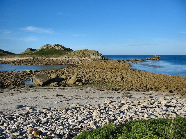
Rushy Carn is a prominent headland located in Cornwall, England. Situated along the beautiful coastline, it is known for its stunning views and rugged landscape. The name "Rushy Carn" is derived from the Cornish language, with "Rushy" meaning "overgrown with rushes" and "Carn" referring to a rocky outcrop or tor.

This coastal feature stands tall and commands attention with its towering cliffs that overlook the Atlantic Ocean. The headland is formed by the erosion of sedimentary rocks, creating dramatic rock formations and steep slopes. These cliffs are a popular spot for birdwatching, offering a nesting site for various seabirds such as gulls and cormorants.

The vegetation on Rushy Carn is diverse and abundant, ranging from grasses and wildflowers to shrubs and small trees. The headland is home to a variety of plant species adapted to the harsh coastal conditions, such as sea thrift and sea campion.

Rushy Carn is also known for its rich history. In ancient times, it served as a lookout point for local communities, providing a vantage point to spot incoming ships or potential threats. Today, visitors can explore the remnants of an Iron Age hillfort, which once stood on the headland and served as a defensive structure.

Overall, Rushy Carn in Cornwall offers a captivating blend of natural beauty, wildlife, and historical significance. It is a must-visit destination for nature enthusiasts, hikers, and those seeking a glimpse into Cornwall's past.

If you have any feedback on the listing, please let us know in the comments section below.
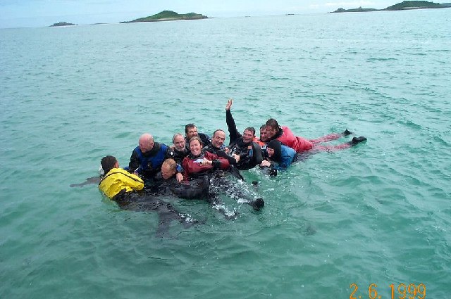
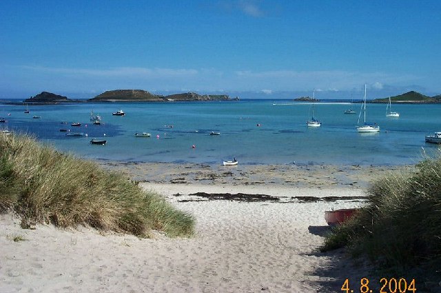
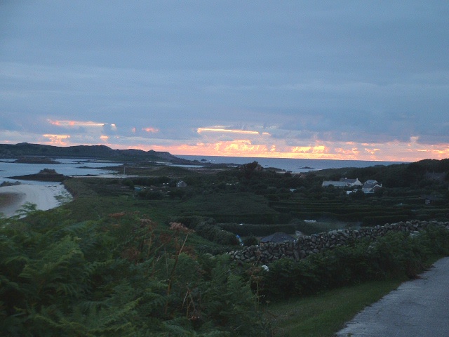
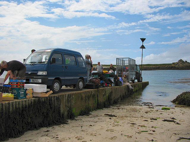
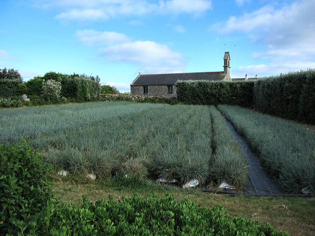
Rushy Carn Images

Images are sourced within 2km of 49.974701/-6.2915572 or Grid Reference SV9217. Thanks to Geograph Open Source API. All images are credited.

Lower Town Quay The smaller of the two quays on St Martin’s. The larger quay at Higher Town is the one used for freight deliveries, but is inaccessible at a low tide.

The island behind is the uninhabited Tean (pronounced tea-an).
Lower Town Quay
The smaller of the two quays on St Martin’s. The larger quay at Higher Town is the one used for freight deliveries, but is inaccessible at a low tide. The island behind is the uninhabited Tean (pronounced tea-an).
Great Bay panorama On of the most beautiful spots on the islands.
Great Bay panorama
On of the most beautiful spots on the islands.
Higher Town Bay
Higher Town Bay
St Martins The beautiful St Martin's Bay
St Martins
The beautiful St Martin's Bay
St Martin's Divers at Higher Town bay
St Martin's
Divers at Higher Town bay
St Martin's Higher Town Bay
St Martin's
Higher Town Bay
Lower Town, St. Martin's Looking SW, Tresco in distance
Lower Town, St. Martin's
Looking SW, Tresco in distance
Middle Town - St Martin's, Scilly The westerly view from Middle Town. Tresco on the horizon.
Middle Town - St Martin's, Scilly
The westerly view from Middle Town. Tresco on the horizon.
St Martin's - Scillies The high street of Middle Town, St Martin's.
St Martin's - Scillies
The high street of Middle Town, St Martin's.
Sunset on St Martins looking westward
Looking out from gardens of Seven Stones pub View looking south from the pub
Looking out from gardens of Seven Stones pub
View looking south from the pub
St Martin's coastal path, looking towards Great Bay
St Martin's bay from Scilly point This is a beautiful beach of white sand.
St Martin's bay from Scilly point
This is a beautiful beach of white sand.
The tidal causeway to White Island, Scilly White Island is a part of St Martin's. This is the only land based way onto the island.
The tidal causeway to White Island, Scilly
White Island is a part of St Martin's. This is the only land based way onto the island.
Lower Town quay, St Martin's - Scilly A small quay - but very well used for loading and unloading all the things that are essential for island life.
Lower Town quay, St Martin's - Scilly
A small quay - but very well used for loading and unloading all the things that are essential for island life.
Higher Town quay, St Martin's - Scilly This is the main quay for St Martin's. The photo shows day tourists being picked up and taken to another island.
Higher Town quay, St Martin's - Scilly
This is the main quay for St Martin's. The photo shows day tourists being picked up and taken to another island.
Higher Town, St Martin's - Scilly In the mid distance are the popular playing fields, on the left are the slopes leading up to Higher Town and on the right is the Higher Town beach. The hedged in fields are typical of Scilly and protect crops from storms and wind.
Higher Town, St Martin's - Scilly
In the mid distance are the popular playing fields, on the left are the slopes leading up to Higher Town and on the right is the Higher Town beach. The hedged in fields are typical of Scilly and protect crops from storms and wind.
Scilly flower fields An example of the hedged in small fields that Scilly uses to grow its well known fragrant flowers. Photo taken near the church of Higher Town.
Scilly flower fields
An example of the hedged in small fields that Scilly uses to grow its well known fragrant flowers. Photo taken near the church of Higher Town.
Show me another place!

Rushy Carn is located at Grid Ref: SV9217 (Lat: 49.974701, Lng: -6.2915572)

Division: Isles of Scilly

Unitary Authority: Isles of Scilly

Police Authority: Devon and Cornwall

What 3 Words

///putter.bulge.flank. Near St Martin's, Isles of Scilly

Related Wikis

White Island, Isles of Scilly

White Island (Cornish: Ar Nor, "facing the mainland" or Enys Wynn "white island" ) is one of the larger unpopulated islands of the Isles of Scilly, part...

Middle Town, St Martin's

Middle Town (Cornish: Tregres) is a small settlement on the island of St Martin's in the Isles of Scilly, England. It is situated slightly inland, approximately...

St Martin's, Isles of Scilly

St Martin's (Cornish: Brechiek, lit. 'dappled island') is the northernmost populated island of the Isles of Scilly, England, United Kingdom. It has an...

Lower Town, Isles of Scilly

Lower Town (Cornish: Trewoles) is the westernmost settlement on the island of St Martin's in the Isles of Scilly, England. One of the island's two quays...

St Martin's Church, St Martin's

St Martin's Church, St Martin's is a Grade II listed parish church in the Church of England located in St Martin's, Isles of Scilly, UK. == History... ==

Teän

Teän ( TEE-ən, sometimes written Tean without the diaeresis; Cornish: Enys Tian) is an uninhabited island to the north of the Isles of Scilly archipelago...

St Martin's Methodist Church, Isles of Scilly

The Methodist Church, St Martin's, Isles of Scilly is a Grade II listed chapel in St Martin's, Isles of Scilly. == History == Bible Christians arrived...

Higher Town, Isles of Scilly

Higher Town (Cornish: Trewartha) is the easternmost and largest settlement on the island of St Martin's in the Isles of Scilly, England. It is situated...

Nearby Amenities

Located within 500m of 49.974701,-6.2915572
Source: PGS
Lat/Long: 49.9743195/-6.292359
Source: PGS
Lat/Long: 49.9713339/-6.2920597
Source: PGS
Lat/Long: 49.9716753/-6.2918261
Source: PGS
Lat/Long: 49.971808/-6.2914795
Source: PGS
Lat/Long: 49.9709854/-6.2925103
Source: PGS
Lat/Long: 49.9703985/-6.2923327
Source: PGS
Lat/Long: 49.9716599/-6.2909607
Porth Morran
Natural: beach
Lat/Long: 49.9769301/-6.2926134
Little Bay
Natural: bay
Lat/Long: 49.9705862/-6.2907458
Source: PGS
Lat/Long: 49.973574/-6.292948
Source: PGS
Lat/Long: 49.9734284/-6.2920744
Top Rock Hill
Natural: peak
Lat/Long: 49.9721537/-6.2949656
Natural: peak
Lat/Long: 49.9754956/-6.2903704
The data included in this document is from www.openstreetmap.org. The data is made available under ODbL.

Have you been to Rushy Carn?

Leave your review of Rushy Carn below (or comments, questions and feedback).