Camper Point
Coastal Feature, Headland, Point in Cornwall
England
Camper Point

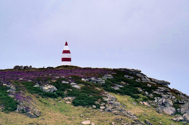
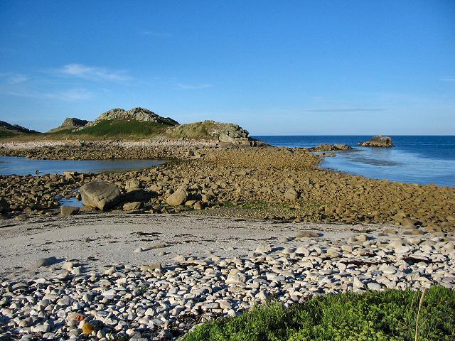
Camper Point is a picturesque coastal feature located in Cornwall, England. It is a prominent headland that extends out into the Atlantic Ocean, forming a distinctive point along the rugged coastline of the region.
The point is characterized by its towering cliffs, which rise dramatically from the sea, providing breathtaking views of the surrounding landscape. The cliffs are composed of rugged, weathered rock formations, showcasing the geological diversity of the area.
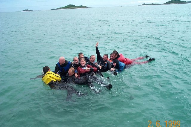
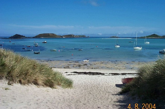
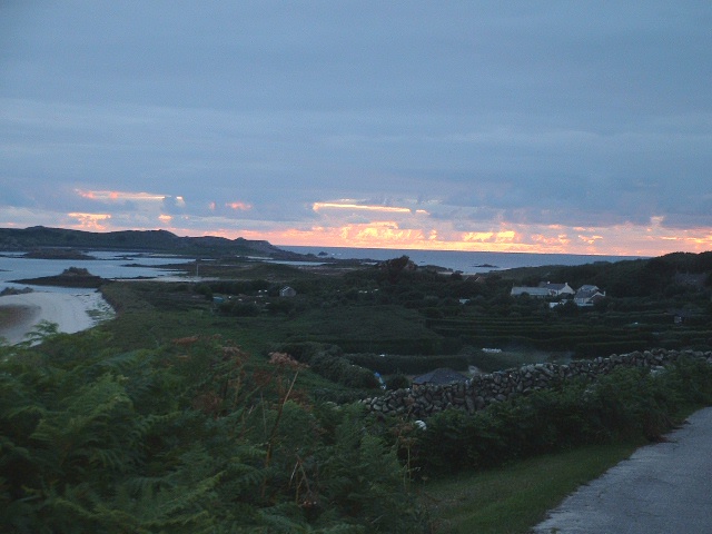
Camper Point is known for its natural beauty and is a popular destination for nature lovers and outdoor enthusiasts. The headland offers ample opportunities for hiking, birdwatching, and photography, with numerous walking trails and vantage points accessible to visitors. The abundant flora and fauna in the area, including various seabirds and wildflowers, add to its charm and appeal.
In addition to its natural attractions, Camper Point is also of historical significance. The headland has witnessed various human activities throughout the centuries, including ancient settlements and mining operations. There are remnants of old mine shafts and buildings that serve as a reminder of Cornwall's industrial past.
Overall, Camper Point is a captivating coastal feature that offers a unique blend of natural beauty and historical interest. Its striking cliffs, scenic trails, and rich history make it a must-visit destination for those exploring the Cornwall coastline.
If you have any feedback on the listing, please let us know in the comments section below.
Camper Point Images
Images are sourced within 2km of 49.976009/-6.2888134 or Grid Reference SV9217. Thanks to Geograph Open Source API. All images are credited.


Camper Point is located at Grid Ref: SV9217 (Lat: 49.976009, Lng: -6.2888134)
Division: Isles of Scilly
Unitary Authority: Isles of Scilly
Police Authority: Devon and Cornwall
What 3 Words
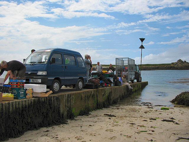
///irritate.mount.settled. Near St Martin's, Isles of Scilly
Nearby Locations
Related Wikis

White Island, Isles of Scilly
White Island (Cornish: Ar Nor, "facing the mainland" or Enys Wynn "white island" ) is one of the larger unpopulated islands of the Isles of Scilly, part...

Middle Town, St Martin's
Middle Town (Cornish: Tregres) is a small settlement on the island of St Martin's in the Isles of Scilly, England. It is situated slightly inland, approximately...

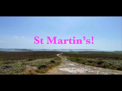
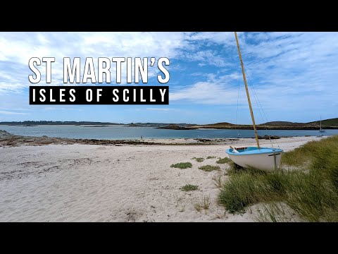
St Martin's, Isles of Scilly
St Martin's (Cornish: Brechiek, lit. 'dappled island') is the northernmost populated island of the Isles of Scilly, England, United Kingdom. It has an...

Lower Town, Isles of Scilly
Lower Town (Cornish: Trewoles) is the westernmost settlement on the island of St Martin's in the Isles of Scilly, England. One of the island's two quays...

St Martin's Church, St Martin's
St Martin's Church, St Martin's is a Grade II listed parish church in the Church of England located in St Martin's, Isles of Scilly, UK. == History... ==

Higher Town, Isles of Scilly
Higher Town (Cornish: Trewartha) is the easternmost and largest settlement on the island of St Martin's in the Isles of Scilly, England. It is situated...

St Martin's Methodist Church, Isles of Scilly
The Methodist Church, St Martin's, Isles of Scilly is a Grade II listed chapel in St Martin's, Isles of Scilly. == History == Bible Christians arrived...

Teän
Teän ( TEE-ən, sometimes written Tean without the diaeresis; Cornish: Enys Tian) is an uninhabited island to the north of the Isles of Scilly archipelago...
Related Videos

St Martins - Isles of Scilly BEAUTIFUL
St Martins - Isles of Scilly BEAUTIFUL Filmed and Edited by Paul Dinning - Wildlife in Cornwall Original Music Written and ...
Whelmed: The One with St Martin's
My day trip to St Martin's on the Isles of Scilly in England.
St Martins - Scilly Isles - A 4K video tour
St Martin's is the most northeasterly and third largest of the main Scilly Isles. In this short video I take a walk more or less from end ...
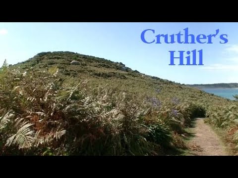
Cruther's Hill
Cruther's Hill is a hill near Higher Town on St Martin's, Isles of Scilly. From on top of the hill, there are views of St Mary's, Tresco ...
Nearby Amenities
Located within 500m of 49.976009,-6.2888134Have you been to Camper Point?
Leave your review of Camper Point below (or comments, questions and feedback).