Yellow Carn

Coastal Feature, Headland, Point in Cornwall

England

Yellow Carn

A boat off the north of Tresco Taken in 2005 but only just being submitted, so I hope I have the view direction correct. Tresco is a wonderful peaceful island at any time of the year, but especially in Spring.
A boat off the north of Tresco Credit: Malcolm Neal

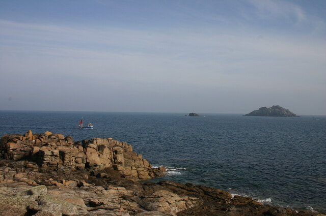
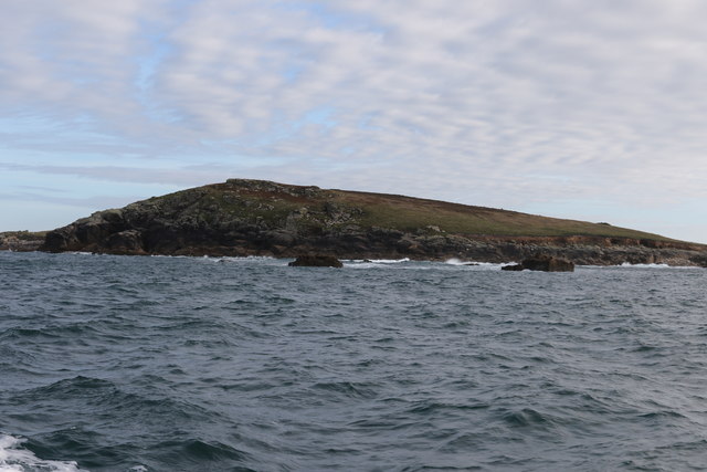
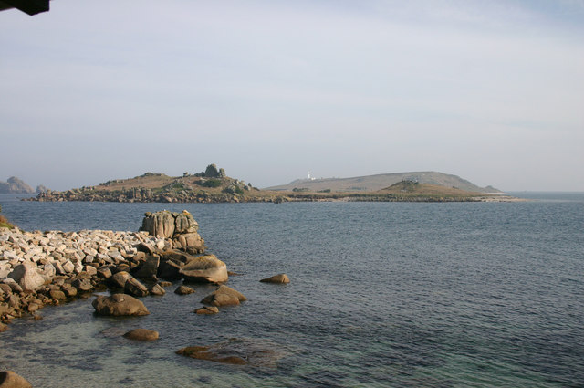
Yellow Carn is a prominent coastal feature located in Cornwall, England. Situated on the southern coast, it is specifically categorized as a headland or point due to its distinctive geographical formation. Yellow Carn is known for its stunning views of the surrounding coastline and its unique yellowish color, which is believed to be a result of the presence of minerals like iron oxide in the rocks.

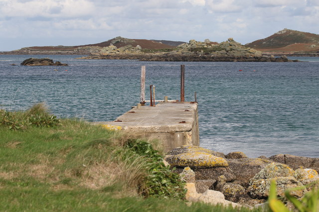
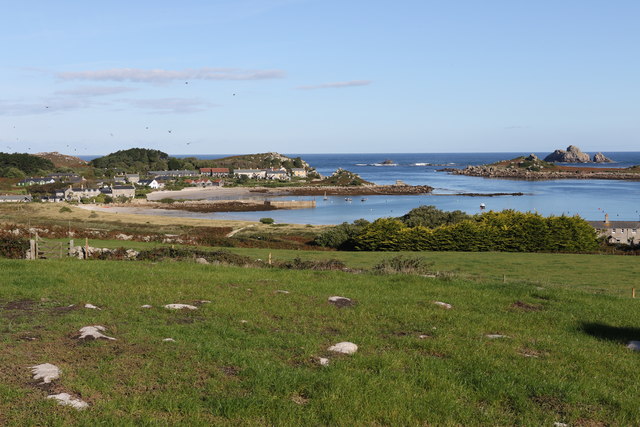
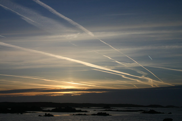
The headland of Yellow Carn juts out into the Atlantic Ocean, providing a dramatic backdrop to the picturesque landscape. It is surrounded by cliffs and rugged terrain, adding to its natural beauty and charm. The headland also offers panoramic vistas of the ocean, making it a popular spot for tourists and locals alike to enjoy breathtaking sunsets and observe the diverse marine life in the area.

In addition to its scenic appeal, Yellow Carn is also of historical significance. The headland is believed to have an ancient burial ground dating back to the Bronze Age, as evidenced by the presence of burial mounds and other archaeological remains. This has attracted archaeologists and historians to study the site, adding to its cultural importance.

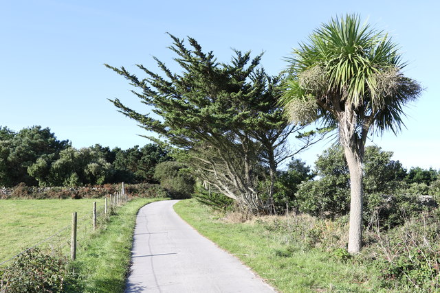
Yellow Carn is easily accessible by road and footpaths, allowing visitors to explore its rugged beauty up close. It serves as a starting point for coastal walks and offers various hiking trails, allowing nature enthusiasts to immerse themselves in the stunning surroundings. Its unique geological features, historical significance, and breathtaking views make Yellow Carn a must-visit destination for anyone exploring the Cornwall coastline.

If you have any feedback on the listing, please let us know in the comments section below.
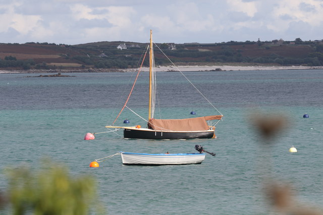
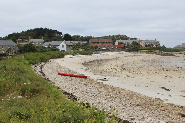
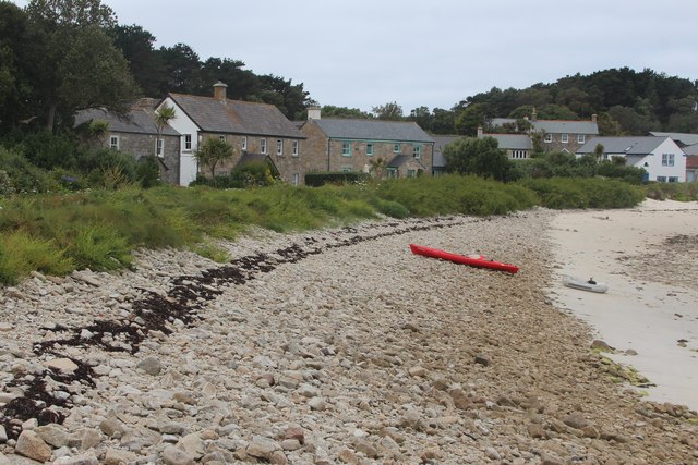
Yellow Carn Images

Images are sourced within 2km of 49.967076/-6.3081344 or Grid Reference SV9116. Thanks to Geograph Open Source API. All images are credited.

A boat off the north of Tresco Taken in 2005 but only just being submitted, so I hope I have the view direction correct. Tresco is a wonderful peaceful island at any time of the year, but especially in Spring.
A boat off the north of Tresco
Taken in 2005 but only just being submitted, so I hope I have the view direction correct. Tresco is a wonderful peaceful island at any time of the year, but especially in Spring.
Lower Town Quay The smaller of the two quays on St Martin’s. The larger quay at Higher Town is the one used for freight deliveries, but is inaccessible at a low tide.

The island behind is the uninhabited Tean (pronounced tea-an).
Lower Town Quay
The smaller of the two quays on St Martin’s. The larger quay at Higher Town is the one used for freight deliveries, but is inaccessible at a low tide. The island behind is the uninhabited Tean (pronounced tea-an).
Great Bay panorama On of the most beautiful spots on the islands.
Great Bay panorama
On of the most beautiful spots on the islands.
Clearing the bracken Near the Blockhouse, Tresco
Clearing the bracken
Near the Blockhouse, Tresco
The Ruin Inn A cafe and restaurant in Old Grimsby, Tresco
The Ruin Inn
A cafe and restaurant in Old Grimsby, Tresco
Old Grimsby Quay Looking towards Foreman's Island
Old Grimsby Quay
Looking towards Foreman's Island
Moored up in Green Porth In Old Grimsby Harbour
Moored up in Green Porth
In Old Grimsby Harbour
Field above Old Grimsby harbour Looking towards the Sea Garden Cottages development.
Field above Old Grimsby harbour
Looking towards the Sea Garden Cottages development.
Wind shaped trees Above Old Grimsby harbour
Wind shaped trees
Above Old Grimsby harbour
The north end of St Helen's From a boat trip around the north of the Isles of Scilly
The north end of St Helen's
From a boat trip around the north of the Isles of Scilly
View from the Island Hotel This wonderfully positioned hotel offers great views from the public rooms and most of the bedrooms.
View from the Island Hotel
This wonderfully positioned hotel offers great views from the public rooms and most of the bedrooms.
Sunrise on Tresco A super sunrise from our hotel bedroom at the Island Hotel.
Sunrise on Tresco
A super sunrise from our hotel bedroom at the Island Hotel.
Old Grimsby beach
Old Grimsby beach
Old Grimsby beach
Old Grimsby beach
Old Grimsby beach
Old Grimsby beach
Old Grimsby beach
Old Grimsby beach
Sea Garden Cottages
Sea Garden Cottages
Ruin Beach Café
Ruin Beach Café
Show me another place!

Yellow Carn is located at Grid Ref: SV9116 (Lat: 49.967076, Lng: -6.3081344)

Division: Isles of Scilly

Unitary Authority: Isles of Scilly

Police Authority: Devon and Cornwall

What 3 Words

///supper.prepped.chuck. Near St Martin's, Isles of Scilly

Related Wikis

Teän

Teän ( TEE-ən, sometimes written Tean without the diaeresis; Cornish: Enys Tian) is an uninhabited island to the north of the Isles of Scilly archipelago...

Lower Town, Isles of Scilly

Lower Town (Cornish: Trewoles) is the westernmost settlement on the island of St Martin's in the Isles of Scilly, England. One of the island's two quays...

Middle Town, St Martin's

Middle Town (Cornish: Tregres) is a small settlement on the island of St Martin's in the Isles of Scilly, England. It is situated slightly inland, approximately...

St Helen's, Isles of Scilly

St Helen's (Cornish: Enys Elyd or Enys Elidius) is one of the fifty or so uninhabited islands in the archipelago of the Isles of Scilly and has an approximate...

Nearby Amenities

Located within 500m of 49.967076,-6.3081344
Source: PGS
Lat/Long: 49.9661686/-6.3042959
Source: PGS
Lat/Long: 49.9657891/-6.3045393
Source: PGS
Lat/Long: 49.9654151/-6.3048506
Source: PGS
Lat/Long: 49.96522/-6.304899
Source: PGS
Lat/Long: 49.9649343/-6.3048956
Source: PGS
Lat/Long: 49.9642804/-6.3030544
Source: PGS
Lat/Long: 49.9639079/-6.3036985
Lower Town
Name Kw: Trewoles
Place: village
Wikidata: Q6693875
Lat/Long: 49.9658215/-6.3019184
Information: map
Tourism: information
Lat/Long: 49.9657121/-6.3040211
Ferry Terminal
Leisure: slipway
Lat/Long: 49.9660741/-6.3051119
Great Hill
Natural: peak
Note: tentative location only
Source: Bing
Lat/Long: 49.9691828/-6.3105644
Teän Sound
Natural: bay
Lat/Long: 49.9677949/-6.3060304
Natural: peak
Lat/Long: 49.9654045/-6.3093498
Kipper Carn
Natural: peak
Lat/Long: 49.9686963/-6.313974
Bar
Lat/Long: 49.9659705/-6.3034894
Vending Machine
Karma St Martin's
Addr Country: GB
Addr Hamlet: St Mary's
Addr Housename: Seven Stones Inn
Addr Postcode: TR25 0QW
Addr State: Isles Of Scilly
Addr Suburb: Lower Town
Fhrs Id: 776323
Vending: electronics
Lat/Long: 49.9662017/-6.3034921
Seamark Beacon Special Purpose Colour: black
Seamark Beacon Special Purpose Shape: pile
Seamark Type: beacon_special_purpose
Lat/Long: 49.9645761/-6.3031697
The data included in this document is from www.openstreetmap.org. The data is made available under ODbL.

Have you been to Yellow Carn?

Leave your review of Yellow Carn below (or comments, questions and feedback).