Creag Corra-ghritheach

Coastal Feature, Headland, Point in Inverness-shire

Scotland

Creag Corra-ghritheach

Bagh Sgotbheinn Not all Hebridean buildings fall into disrepair. I note that Dave Fergusson's 2007 photograph includes this small building, but now, twelve years later it has a new roof and is looking well cared for.
Bagh Sgotbheinn Credit: Gordon Hatton

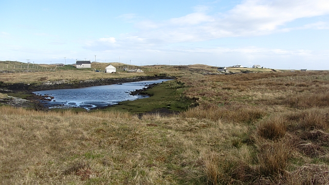
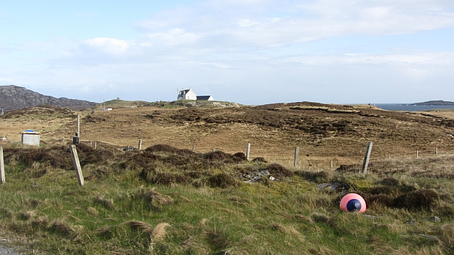
Creag Corra-ghritheach is a prominent coastal feature located in Inverness-shire, Scotland. Situated on the western coast, this headland juts out into the North Atlantic Ocean, offering breathtaking views of the surrounding landscape.

The name "Creag Corra-ghritheach" is derived from Scottish Gaelic and translates to "rocky crag of the shrieking sea." This name aptly describes the rugged and rocky nature of the headland, as well as the powerful crashing waves that can often be heard on its shores.

At approximately 100 meters in height, Creag Corra-ghritheach stands as a dramatic landmark in the region. Its steep cliffs are composed of ancient rock formations, providing a glimpse into the geological history of the area. The headland is home to a diverse range of marine and bird life, making it a popular spot for birdwatching and wildlife enthusiasts.

Access to Creag Corra-ghritheach is facilitated through a well-maintained footpath that winds its way along the coastal edge. This path offers visitors the opportunity to explore the headland and experience its awe-inspiring vistas firsthand. Additionally, there are several vantage points along the path that provide unparalleled views of the surrounding coastline and the vast expanse of the Atlantic Ocean.

Creag Corra-ghritheach is not only a natural wonder but also holds historical significance. It has been a place of human occupation for centuries, with archaeological evidence suggesting that it was once used as a defensive stronghold during medieval times.

In conclusion, Creag Corra-ghritheach is a stunning coastal feature in Inverness-shire, Scotland. With its rocky cliffs, diverse wildlife, and historical importance, it is a must-visit destination for nature lovers and history enthusiasts alike.

If you have any feedback on the listing, please let us know in the comments section below.

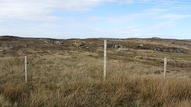
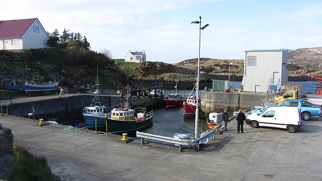
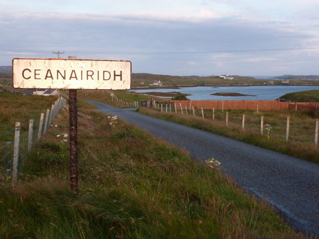
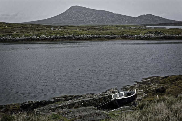
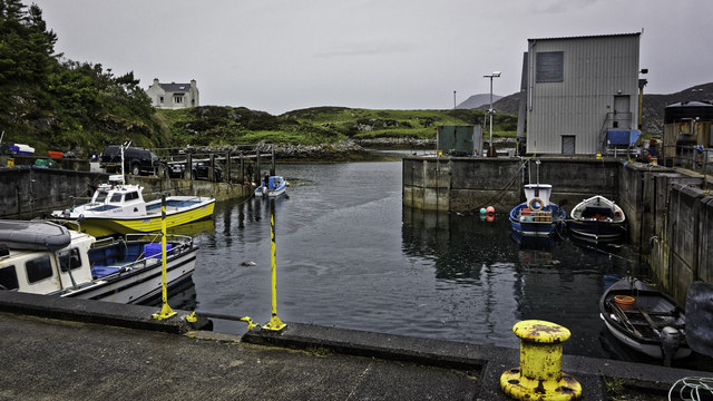
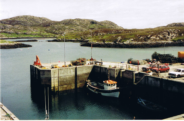
Creag Corra-ghritheach Images

Images are sourced within 2km of 57.470122/-7.2264153 or Grid Reference NF8654. Thanks to Geograph Open Source API. All images are credited.

Bagh Sgotbheinn Not all Hebridean buildings fall into disrepair. I note that Dave Fergusson's 2007 photograph includes this small building, but now, twelve years later it has a new roof and is looking well cared for.
Bagh Sgotbheinn
Not all Hebridean buildings fall into disrepair. I note that Dave Fergusson's 2007 photograph includes this small building, but now, twelve years later it has a new roof and is looking well cared for.
Kallin Harbour, Grimsay
Kallin Harbour The smaller vessels in the harbour are inshore lobster boats which use creels to trap crabs and lobsters.  The larger vessels are offshore prawn boats which use trawl nets to catch the shellfish.
Kallin Harbour
The smaller vessels in the harbour are inshore lobster boats which use creels to trap crabs and lobsters. The larger vessels are offshore prawn boats which use trawl nets to catch the shellfish.
Vallastrome, Kallin The view along the Vallastrome channel towards the biggest hill on the island of Ronaigh. The trig point at 115m can just be seen.
Vallastrome, Kallin
The view along the Vallastrome channel towards the biggest hill on the island of Ronaigh. The trig point at 115m can just be seen.
Coming in to harbour Small fishing boat entering Kallin harbour on a summer evening. This little boat has a 'FY' registration for Fowey in Cornwall, but arrived at Kallin on the back of a lorry. The 'Stelimar'is a local boat based here.
Coming in to harbour
Small fishing boat entering Kallin harbour on a summer evening. This little boat has a 'FY' registration for Fowey in Cornwall, but arrived at Kallin on the back of a lorry. The 'Stelimar'is a local boat based here.
Kallin: postbox № HS6 25 One of four postboxes on the island of Grimsay. Apart from the one on the main road close to the post office, they are emptied at 11:45am on weekdays and at 9:30am on Saturdays.
Kallin: postbox № HS6 25
One of four postboxes on the island of Grimsay. Apart from the one on the main road close to the post office, they are emptied at 11:45am on weekdays and at 9:30am on Saturdays.
Kallin: a deer He spotted me as soon as I spotted him!
Kallin: a deer
He spotted me as soon as I spotted him!
Kallin: the harbour Looking across the harbour from the road above.
Kallin: the harbour
Looking across the harbour from the road above.
Kallin: open-air phone box This telephone box is missing two glass panels and also its roof panel, which is leaning against the wall behind the box.
Kallin: open-air phone box
This telephone box is missing two glass panels and also its roof panel, which is leaning against the wall behind the box.
Field, Ceannaraigh The highest ground on Grimsay is out there somewhere.
Field, Ceannaraigh
The highest ground on Grimsay is out there somewhere.
Inlet, Ceannaraigh An inlet of Bàgh Sgotbheinn, Grimsay.
Inlet, Ceannaraigh
An inlet of Bàgh Sgotbheinn, Grimsay.
Near Kallin Bog on Grimsay.
Near Kallin
Bog on Grimsay.
Kallin Harbour A modernised home for a fishing fleet on Grimsay.
Kallin Harbour
A modernised home for a fishing fleet on Grimsay.
Grimsay: entering Ceanairidh The late evening sun is reflecting brightly off the sign which, as is often the case with these Gaelic names, has a slight spelling discrepancy compared with the map.
Grimsay: entering Ceanairidh
The late evening sun is reflecting brightly off the sign which, as is often the case with these Gaelic names, has a slight spelling discrepancy compared with the map.
Boat beside Bagh Mor
Kallin Harbour
Kallin Harbour
Kallin Harbour Busy (usually) fishing port on Grimsay
Kallin Harbour
Busy (usually) fishing port on Grimsay
Old jetty in Bagh Mor, Grimsay Before the new harbour was built at nearby Kallin, Grimsay fishing boats used the natural harbour of Bagh Mor.  Its narrow entrance meant that only small craft were able to use the harbour.
Old jetty in Bagh Mor, Grimsay
Before the new harbour was built at nearby Kallin, Grimsay fishing boats used the natural harbour of Bagh Mor. Its narrow entrance meant that only small craft were able to use the harbour.
Show me another place!

Creag Corra-ghritheach is located at Grid Ref: NF8654 (Lat: 57.470122, Lng: -7.2264153)

Unitary Authority: Na h-Eileanan an Iar

Police Authority: Highlands and Islands

What 3 Words

///shoelaces.solved.delay. Near Balivanich, Na h-Eileanan Siar

Related Wikis

Flodaigh

Flodaigh is a tidal island lying to the north of Benbecula and south of Grimsay in the Outer Hebrides, Scotland. It is connected to Benbecula by a causeway...

Grimsay

Grimsay (Scottish Gaelic: Griomasaigh) is a tidal island in the Outer Hebrides of Scotland. == Geography == Grimsay is the largest of the low-lying stepping...

Ronay

Ronay (Scottish Gaelic: Rònaigh) is an island in the Outer Hebrides of Scotland, which lies a short distance off the east coast of Grimsay. == Geography... ==

Baile Glas

Baile Glas or Ballaglasa (Scottish Gaelic: Am Baile Glas) is a settlement on Grimsay in the Outer Hebrides, Scotland. Ballaglasa is within the parish of...

Have you been to Creag Corra-ghritheach?

Leave your review of Creag Corra-ghritheach below (or comments, questions and feedback).