Eilean Mòr Bàgh-Gheallt

Island in Inverness-shire

Scotland

Eilean Mòr Bàgh-Gheallt

The track to Roisinis Loch an Tairbh to the right.  The sheepfold shown by the OS in this area can just be seen as a fenced structure on the horizon.
The track to Roisinis Credit: Gordon Brown

Eilean Mòr Bàgh-Gheallt is a small island located in Inverness-shire, Scotland. With a total area of approximately 1.5 hectares, it is situated in the middle of Loch Maree, one of Scotland's largest freshwater lakes. The island is known for its stunning natural beauty and rich wildlife, making it a popular destination for nature enthusiasts and birdwatchers.

The landscape of Eilean Mòr Bàgh-Gheallt is characterized by rugged hills and dense forests, providing a habitat for a variety of plant and animal species. The island is home to a diverse range of birdlife, including golden eagles, ospreys, and a variety of waterfowl. Visitors can often spot these majestic creatures nesting or hunting in the surrounding waters.

In addition to its natural wonders, Eilean Mòr Bàgh-Gheallt also has historical significance. The island features the ruins of a small chapel, known as St. Maelrubha's Chapel, which dates back to the 7th century. This ancient structure provides a glimpse into the island's past and its religious heritage.

Access to Eilean Mòr Bàgh-Gheallt is primarily by boat, and visitors can arrange guided tours or rent kayaks to explore the island's shores. The tranquil atmosphere and breathtaking scenery make it an ideal spot for picnicking, hiking, and photography.

Overall, Eilean Mòr Bàgh-Gheallt offers a unique combination of natural beauty, wildlife, and historical charm. Whether seeking tranquility or adventure, visitors to this island in Inverness-shire are sure to be captivated by its serene surroundings.

If you have any feedback on the listing, please let us know in the comments section below.

Eilean Mòr Bàgh-Gheallt Images

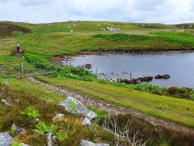
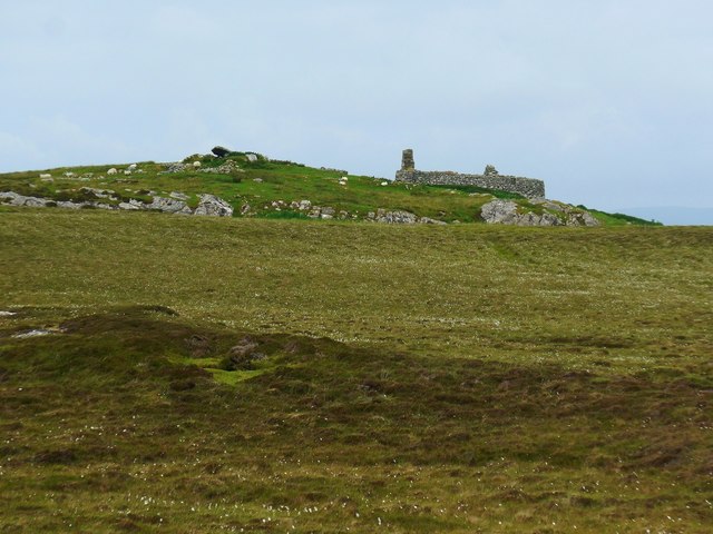
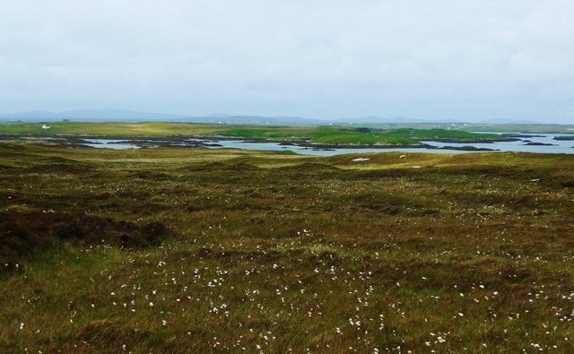
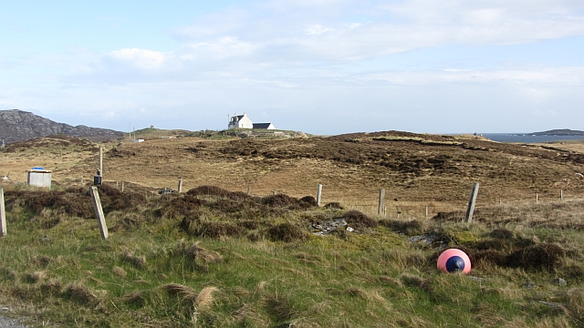
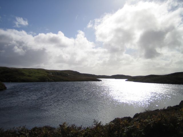
Images are sourced within 2km of 57.467542/-7.2380201 or Grid Reference NF8654. Thanks to Geograph Open Source API. All images are credited.
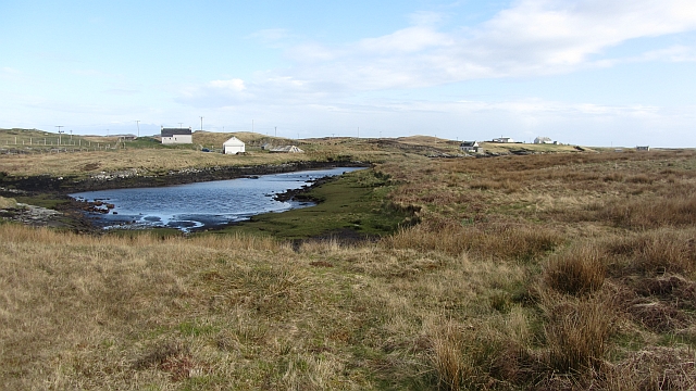
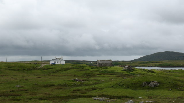
The track to Roisinis Loch an Tairbh to the right.  The sheepfold shown by the OS in this area can just be seen as a fenced structure on the horizon.
The track to Roisinis
Loch an Tairbh to the right. The sheepfold shown by the OS in this area can just be seen as a fenced structure on the horizon.
Old ruined sheiling by the Roisinis track The OS marks a cup-marked stone by this ruin.
Old ruined sheiling by the Roisinis track
The OS marks a cup-marked stone by this ruin.
Bog cotton and moorland to sea loch Oban Uaine Houses on Grimsay may just be seen in the distance.
Bog cotton and moorland to sea loch Oban Uaine
Houses on Grimsay may just be seen in the distance.
Bagh Sgotbheinn Not all Hebridean buildings fall into disrepair. I note that Dave Fergusson's 2007 photograph includes this small building, but now, twelve years later it has a new roof and is looking well cared for.
Bagh Sgotbheinn
Not all Hebridean buildings fall into disrepair. I note that Dave Fergusson's 2007 photograph includes this small building, but now, twelve years later it has a new roof and is looking well cared for.
Kallin: postbox № HS6 25 One of four postboxes on the island of Grimsay. Apart from the one on the main road close to the post office, they are emptied at 11:45am on weekdays and at 9:30am on Saturdays.
Kallin: postbox № HS6 25
One of four postboxes on the island of Grimsay. Apart from the one on the main road close to the post office, they are emptied at 11:45am on weekdays and at 9:30am on Saturdays.
Inlet, Ceannaraigh An inlet of Bàgh Sgotbheinn, Grimsay.
Inlet, Ceannaraigh
An inlet of Bàgh Sgotbheinn, Grimsay.
Near Kallin Bog on Grimsay.
Near Kallin
Bog on Grimsay.
Croft Building Complete with Seagull. On the edge of Bágh Sgotbheinn.
Croft Building
Complete with Seagull. On the edge of Bágh Sgotbheinn.
Croft Buildings Overlooking Bágh Sgotbheinn.
Croft Buildings
Overlooking Bágh Sgotbheinn.
House by the sea. House at the end of a track on Grimsay and overlooking the channel between Grimsay and Benbecula.
House by the sea.
House at the end of a track on Grimsay and overlooking the channel between Grimsay and Benbecula.
Flodday landscape. looking south across the cotton grass covered moor on Flodday.
Flodday landscape.
looking south across the cotton grass covered moor on Flodday.
House on Flodday House on the east coast of Flodday [Flodaigh].
House on Flodday
House on the east coast of Flodday [Flodaigh].
Tourist Information with a difference. There are far too many abandoned vehicles scattered across the Western Isles, but at least this old Vauxhall has been put to good use. Taped to the windows are helpful instructions as to where the local seal colony can be found.
Tourist Information with a difference.
There are far too many abandoned vehicles scattered across the Western Isles, but at least this old Vauxhall has been put to good use. Taped to the windows are helpful instructions as to where the local seal colony can be found.
Flodday scene. Track heading down to a house on the shore. Can't see the telephone box that's marked on the map. The distinctive outline of Eaval in the distance.
Flodday scene.
Track heading down to a house on the shore. Can't see the telephone box that's marked on the map. The distinctive outline of Eaval in the distance.
Loch an Tairbh
Loch an Tairbh
Caolas Fhlodaigh House in a great position overlooking Caolas Fhlodaigh
Caolas Fhlodaigh
House in a great position overlooking Caolas Fhlodaigh
Caolas Fhlodaigh Caolas Fhlodaigh  with Ruabahl in the distance
Caolas Fhlodaigh
Caolas Fhlodaigh with Ruabahl in the distance
Ruabhal Ruabhal as seen from Flodaigh
Ruabhal
Ruabhal as seen from Flodaigh
Show me another place!

Eilean Mòr Bàgh-Gheallt is located at Grid Ref: NF8654 (Lat: 57.467542, Lng: -7.2380201)

Unitary Authority: Na h-Eileanan an Iar

Police Authority: Highlands and Islands

What 3 Words

///trail.amending.tribune. Near Balivanich, Na h-Eileanan Siar

Related Wikis

Flodaigh

Flodaigh is a tidal island lying to the north of Benbecula and south of Grimsay in the Outer Hebrides, Scotland. It is connected to Benbecula by a causeway...

Grimsay

Grimsay (Scottish Gaelic: Griomasaigh) is a tidal island in the Outer Hebrides of Scotland. == Geography == Grimsay is the largest of the low-lying stepping...

Baile Glas

Baile Glas or Ballaglasa (Scottish Gaelic: Am Baile Glas) is a settlement on Grimsay in the Outer Hebrides, Scotland. Ballaglasa is within the parish of...

Ronay

Ronay (Scottish Gaelic: Rònaigh) is an island in the Outer Hebrides of Scotland, which lies a short distance off the east coast of Grimsay. == Geography... ==

Nearby Amenities

Located within 500m of 57.467542,-7.2380201
Bàgh na Muice
Natural: bay
Lat/Long: 57.4671985/-7.2342865
Bàgh Gheallt
Natural: bay
Lat/Long: 57.4659637/-7.2410886
The data included in this document is from www.openstreetmap.org. The data is made available under ODbL.

Have you been to Eilean Mòr Bàgh-Gheallt?

Leave your review of Eilean Mòr Bàgh-Gheallt below (or comments, questions and feedback).