Rubha nan Cudaigean
Coastal Feature, Headland, Point in Inverness-shire
Scotland
Rubha nan Cudaigean
The requested URL returned error: 429 Too Many Requests
If you have any feedback on the listing, please let us know in the comments section below.
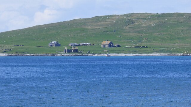
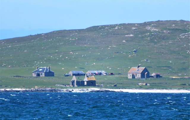
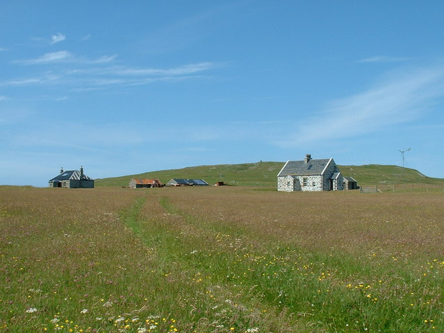
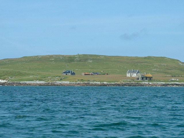
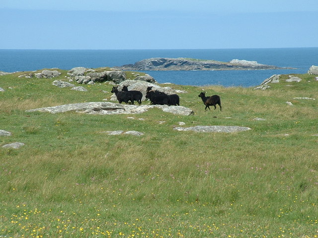
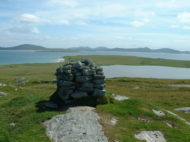
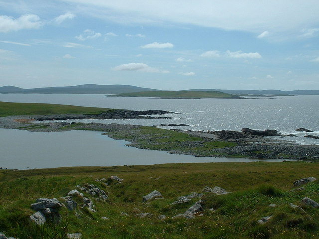
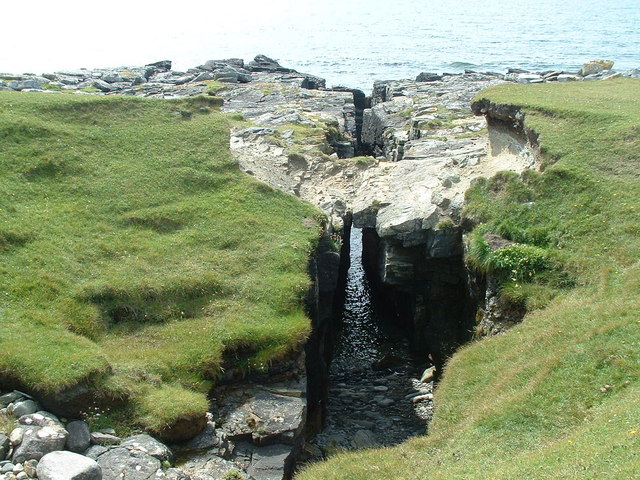
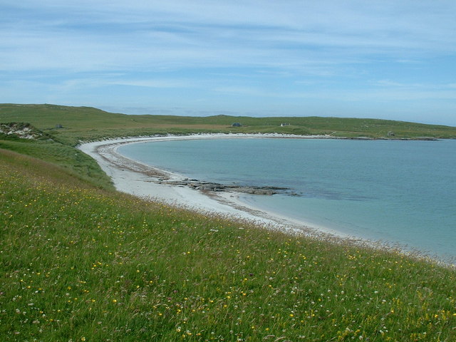
Rubha nan Cudaigean Images
Images are sourced within 2km of 57.716968/-7.278033 or Grid Reference NF8581. Thanks to Geograph Open Source API. All images are credited.

Rubha nan Cudaigean is located at Grid Ref: NF8581 (Lat: 57.716968, Lng: -7.278033)
Unitary Authority: Na h-Eileanan an Iar
Police Authority: Highlands and Islands
What 3 Words
///headache.triangles.warblers. Near Lochmaddy, Na h-Eileanan Siar
Nearby Locations
Related Wikis

Boreray, North Uist
Boreray (Scottish Gaelic: Boraraigh) is an island with a single croft, lying 2 kilometres (1.2 mi) north of North Uist in the Outer Hebrides of Scotland...

Lingeigh, North Uist
Lingeigh is an uninhabited island off North Uist, south east of Boreray. It is separated from North Uist by Traigh Lingeigh. == Footnotes ==

North Uist Machair and Islands
The North Uist Machair and Islands is a protected wetland area in the Outer Hebrides of Scotland. A total of 4,705 hectares comprises seven separate areas...

Newtonferry
Newtonferry (Scottish Gaelic: Port nan Long, "the harbour of the ships") is a small crofting community on the island of North Uist in the Western Isles...
Nearby Amenities
Located within 500m of 57.716968,-7.278033Have you been to Rubha nan Cudaigean?
Leave your review of Rubha nan Cudaigean below (or comments, questions and feedback).