Beinn Bheag
Hill, Mountain in Inverness-shire
Scotland
Beinn Bheag
Beinn Bheag is a prominent hill located in Inverness-shire, Scotland. It is situated within the Cairngorms National Park, approximately 10 miles southeast of Aviemore. With an elevation of 1,191 meters (3,907 feet), it is classified as a Munro, a term used for Scottish mountains over 3,000 feet.
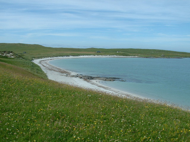
The hill provides breathtaking panoramic views of the surrounding area, including the expansive Rothiemurchus Forest and the stunning Cairngorms mountain range. Its location within the national park makes it a popular destination for outdoor enthusiasts, offering a variety of activities such as hiking, mountaineering, and wildlife spotting.
Beinn Bheag is known for its diverse and challenging terrain, with steep slopes, rocky outcrops, and scree fields. The ascent to the summit can be quite demanding, requiring a good level of fitness and experience in hillwalking. However, the rewarding views and the sense of achievement make it a worthwhile endeavor.
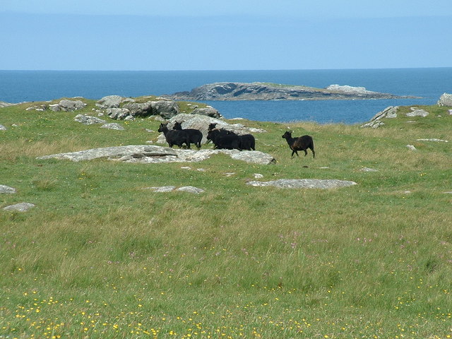
The hill is home to a variety of flora and fauna, including heather, mosses, and alpine plants. It is also a habitat for several species of birds, such as ptarmigans and mountain hares. The surrounding area is abundant in wildlife, with red deer, golden eagles, and ospreys frequently spotted.
Beinn Bheag is easily accessible from the nearby town of Aviemore, with several hiking trails leading to its summit. It offers a unique opportunity to experience the rugged beauty of the Scottish Highlands and immerse oneself in the awe-inspiring landscape of Inverness-shire.
If you have any feedback on the listing, please let us know in the comments section below.
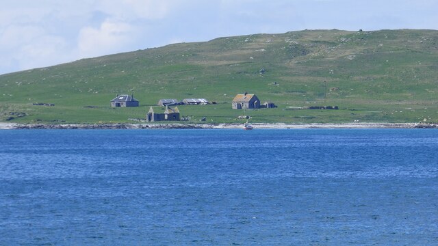
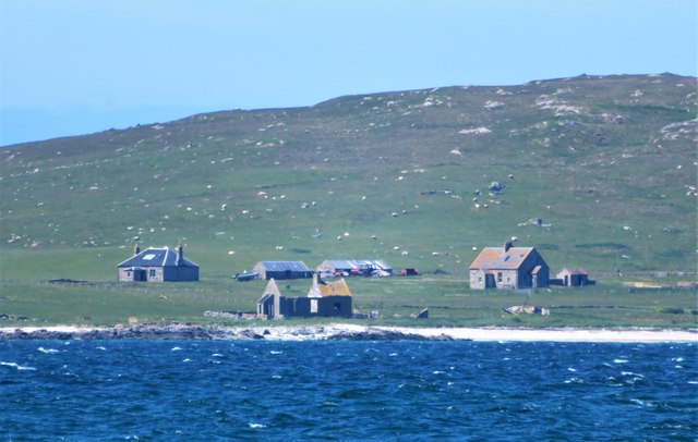
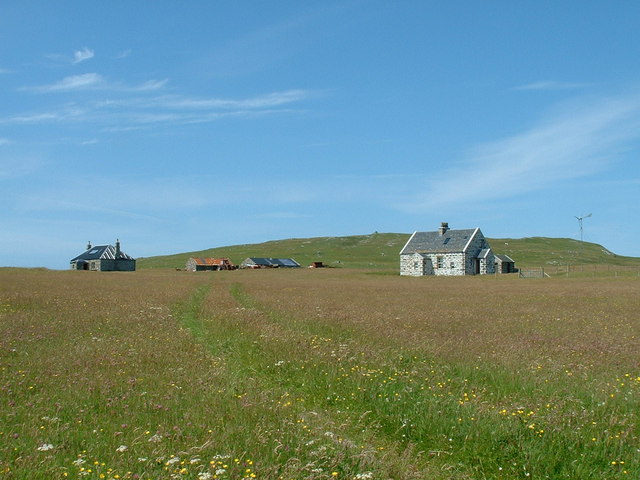
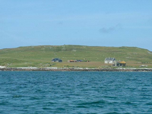
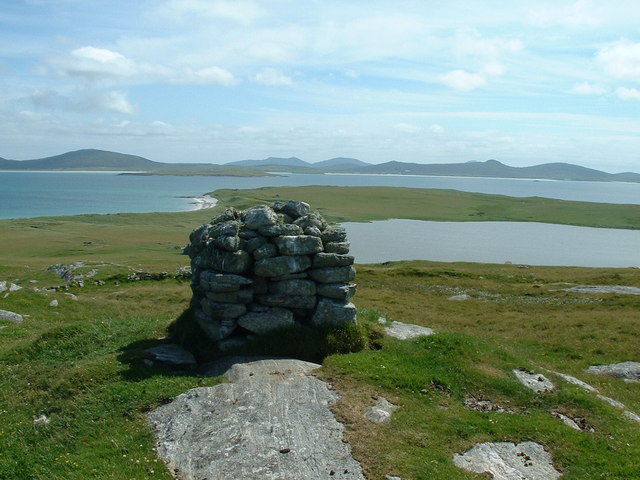
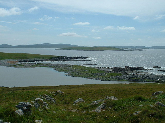
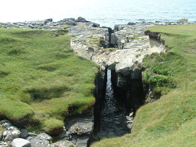
Beinn Bheag Images
Images are sourced within 2km of 57.716013/-7.2853932 or Grid Reference NF8581. Thanks to Geograph Open Source API. All images are credited.

Beinn Bheag is located at Grid Ref: NF8581 (Lat: 57.716013, Lng: -7.2853932)
Unitary Authority: Na h-Eileanan an Iar
Police Authority: Highlands and Islands
What 3 Words
///soonest.phones.pushy. Near Lochmaddy, Na h-Eileanan Siar
Nearby Locations
Related Wikis

Boreray, North Uist
Boreray (Scottish Gaelic: Boraraigh) is an island with a single croft, lying 2 kilometres (1.2 mi) north of North Uist in the Outer Hebrides of Scotland...

Lingeigh, North Uist
Lingeigh is an uninhabited island off North Uist, south east of Boreray. It is separated from North Uist by Traigh Lingeigh. == Footnotes ==

North Uist Machair and Islands
The North Uist Machair and Islands is a protected wetland area in the Outer Hebrides of Scotland. A total of 4,705 hectares comprises seven separate areas...

Newtonferry
Newtonferry (Scottish Gaelic: Port nan Long, "the harbour of the ships") is a small crofting community on the island of North Uist in the Western Isles...

Oronsay, Outer Hebrides
Oronsay (Gaelic Orasaigh) is a tidal island off North Uist in the Outer Hebrides. Lying to the north of Vallaquie Strand, the island has been uninhabited...

Otternish
Otternish is the former North Uist terminal for the ferry to Berneray, in the Outer Hebrides, Scotland. The slipway lies 6 miles (10 km) north of Lochmaddy...
Berneray (North Uist)
Berneray (Scottish Gaelic: Beàrnaraigh na Hearadh) is an island and community in the Sound of Harris, Scotland. It is one of fifteen inhabited islands...

Dun an Sticir
Dun an Sticir (Scottish Gaelic: Dùn an Sticir [ˈt̪un əɲ ˈʃtʲiçkʲɪɾʲ]) is an Iron Age broch situated approximately 9.5 kilometers north of Lochmaddy in...
Nearby Amenities
Located within 500m of 57.716013,-7.2853932Have you been to Beinn Bheag?
Leave your review of Beinn Bheag below (or comments, questions and feedback).