Geodha nan Calman
Coastal Feature, Headland, Point in Inverness-shire
Scotland
Geodha nan Calman
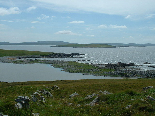
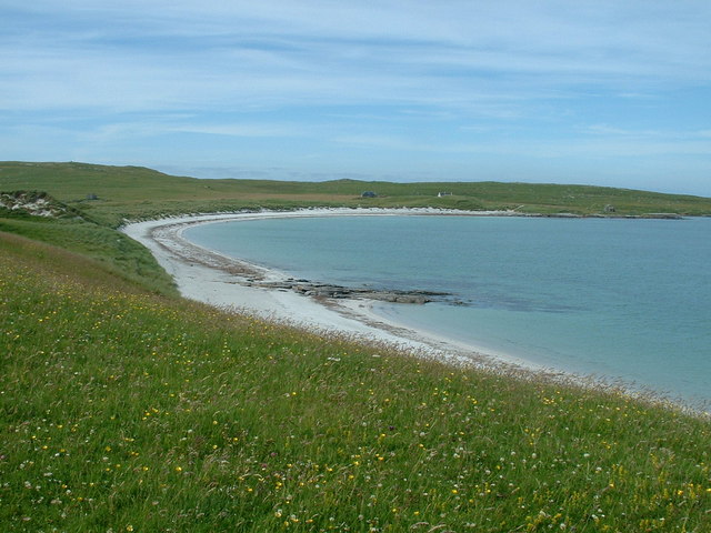
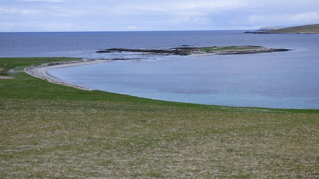
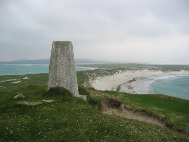
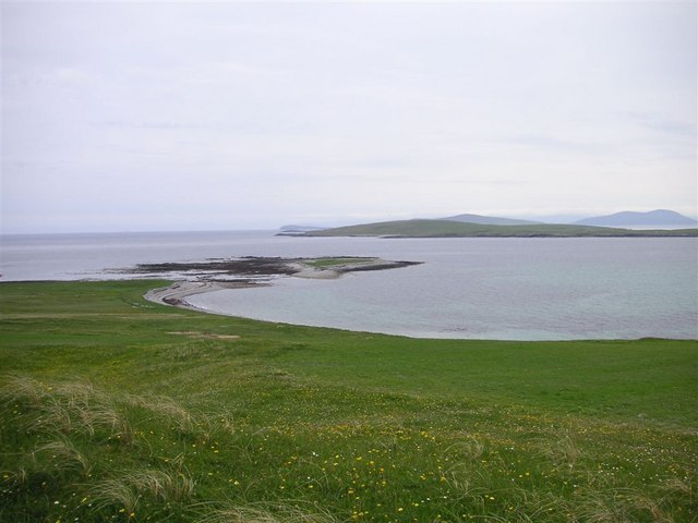
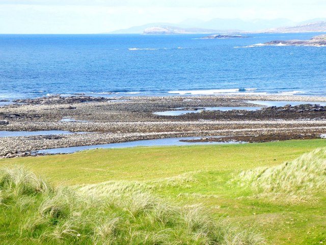
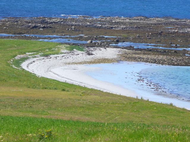
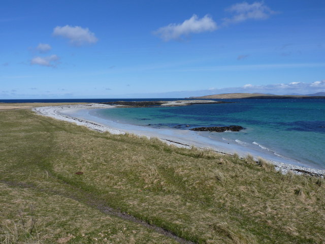
Geodha nan Calman is a captivating coastal feature located in Inverness-shire, Scotland. Positioned on the western coast of the Highlands, this remarkable headland offers stunning views of the surrounding landscape and the vast expanse of the North Atlantic Ocean.
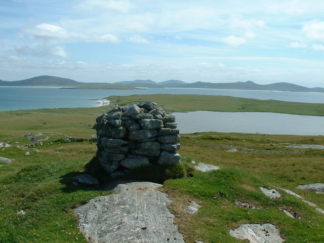
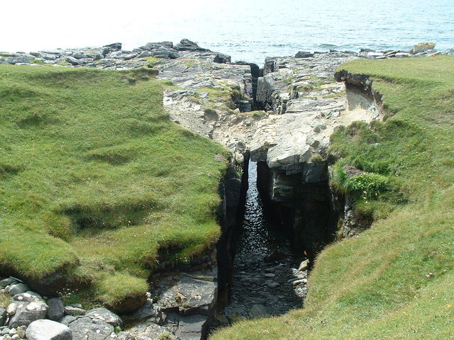
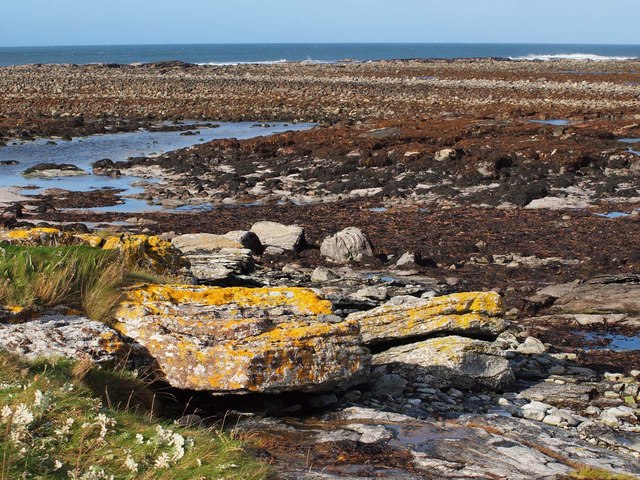
Rising majestically from the rugged shoreline, Geodha nan Calman is a rocky promontory that extends into the sea, forming a distinctive point that juts out into the water. Its unique geographical formation has been shaped over centuries by the relentless forces of nature, resulting in a dramatic and awe-inspiring coastal feature.
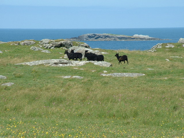
The headland is characterized by its towering cliffs, which provide a nesting site for a variety of seabirds, including guillemots, puffins, and gannets. The crashing waves below add to the sense of grandeur and create a mesmerizing spectacle.
Geodha nan Calman is also home to a diverse range of flora and fauna, with wildflowers blooming along the cliff edges and heather covering the moorland behind the headland. The area is a haven for nature enthusiasts, who can explore the surrounding coastal trails and admire the breathtaking scenery.
Visitors to Geodha nan Calman can soak in the tranquility of the surroundings, breathe in the fresh sea air, and listen to the soothing sounds of the waves. The headland offers a serene and peaceful escape from the hustle and bustle of everyday life, allowing visitors to connect with nature and experience the raw beauty of the Scottish coastline.
In conclusion, Geodha nan Calman is a remarkable coastal feature that showcases the natural splendor of Inverness-shire. With its breathtaking views, diverse wildlife, and serene atmosphere, it is a must-visit destination for those seeking a true connection with nature.
If you have any feedback on the listing, please let us know in the comments section below.
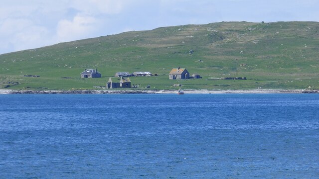
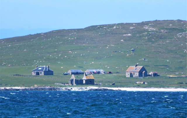
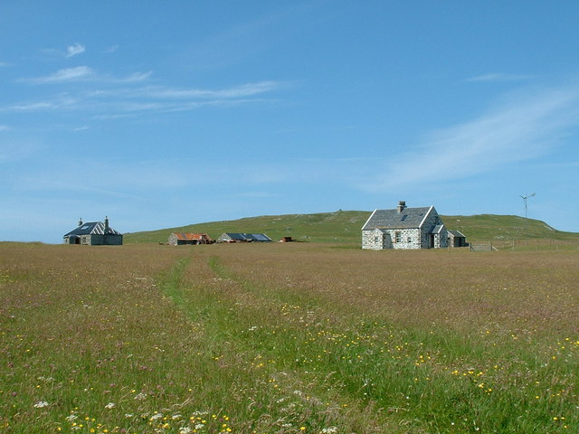
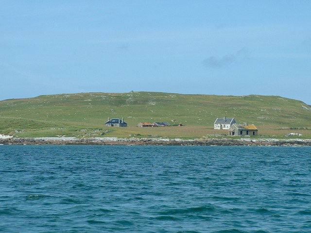
Geodha nan Calman Images
Images are sourced within 2km of 57.704437/-7.2953514 or Grid Reference NF8480. Thanks to Geograph Open Source API. All images are credited.


Geodha nan Calman is located at Grid Ref: NF8480 (Lat: 57.704437, Lng: -7.2953514)
Unitary Authority: Na h-Eileanan an Iar
Police Authority: Highlands and Islands
What 3 Words
///camps.meaning.warms. Near Lochmaddy, Na h-Eileanan Siar
Nearby Locations
Related Wikis

Boreray, North Uist
Boreray (Scottish Gaelic: Boraraigh) is an island with a single croft, lying 2 kilometres (1.2 mi) north of North Uist in the Outer Hebrides of Scotland...

Lingeigh, North Uist
Lingeigh is an uninhabited island off North Uist, south east of Boreray. It is separated from North Uist by Traigh Lingeigh. == Footnotes ==

North Uist Machair and Islands
The North Uist Machair and Islands is a protected wetland area in the Outer Hebrides of Scotland. A total of 4,705 hectares comprises seven separate areas...

Oronsay, Outer Hebrides
Oronsay (Gaelic Orasaigh) is a tidal island off North Uist in the Outer Hebrides. Lying to the north of Vallaquie Strand, the island has been uninhabited...
Nearby Amenities
Located within 500m of 57.704437,-7.2953514Have you been to Geodha nan Calman?
Leave your review of Geodha nan Calman below (or comments, questions and feedback).