Rubha Buidhe
Coastal Feature, Headland, Point in Inverness-shire
Scotland
Rubha Buidhe
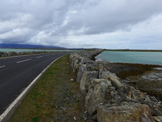
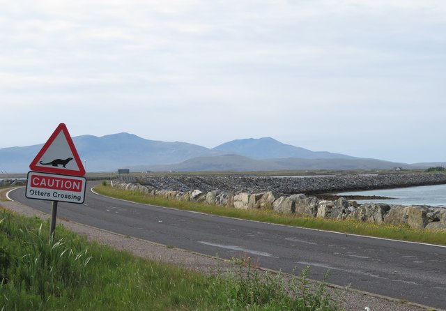
Rubha Buidhe is a prominent headland located in Inverness-shire, Scotland. Situated along the coast, it offers stunning views of the surrounding landscape and the waters of the North Sea. The name "Rubha Buidhe" translates to "yellow point" in Gaelic, likely referencing the color of the cliffs or rocks that make up the headland.
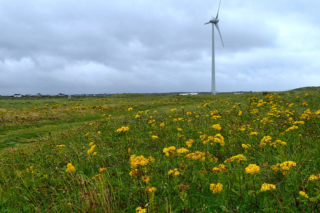
The headland is characterized by rugged cliffs that jut out into the sea, providing a dramatic backdrop for visitors to admire. The area is popular among hikers and nature enthusiasts, who come to explore the coastal trails and take in the breathtaking scenery. Wildlife such as seabirds and seals can often be spotted along the rocky shores, adding to the natural beauty of the area.
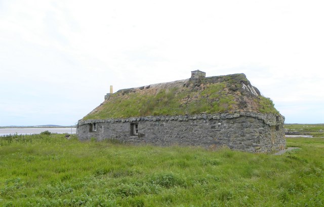
In addition to its natural attractions, Rubha Buidhe also has historical significance, with evidence of ancient settlements and structures dating back centuries. The headland is a popular destination for those interested in exploring Scotland's rich history and heritage.
Overall, Rubha Buidhe is a picturesque coastal feature that offers a blend of natural beauty, wildlife, and history for visitors to enjoy.
If you have any feedback on the listing, please let us know in the comments section below.
Rubha Buidhe Images
Images are sourced within 2km of 57.418127/-7.3403343 or Grid Reference NF7949. Thanks to Geograph Open Source API. All images are credited.

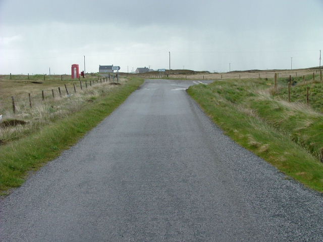
![Salt marsh at Creagorry/Creag Ghoraidh Directly across the road [A865] from the Creagorry Hotel.](https://s1.geograph.org.uk/geophotos/05/00/21/5002145_2d59f921.jpg)
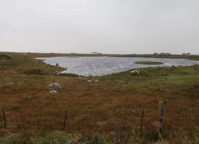
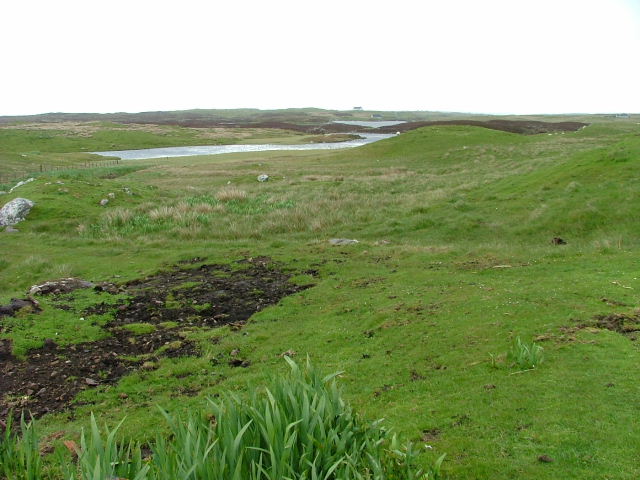
![Croft beyond the loch Looking across Loch na Craoibhe Bige [which might mean 'loch of the small tree'] towards some grassland on a Benbecula croft.](https://s2.geograph.org.uk/geophotos/06/20/90/6209010_e8273a31.jpg)

Rubha Buidhe is located at Grid Ref: NF7949 (Lat: 57.418127, Lng: -7.3403343)
Unitary Authority: Na h-Eileanan an Iar
Police Authority: Highlands and Islands
What 3 Words
///allowable.finishing.stubbed. Near Balivanich, Na h-Eileanan Siar
Nearby Locations
Related Wikis

Borve Castle, Benbecula
Borve Castle, also known as Castle Wearie, and Caisteal Bhuirgh in Scottish Gaelic, is a ruined 14th-century tower house, located at the south-west of...

Iochdar
Iochdar (Scottish Gaelic: An t-Ìochdair), also spelled Eochar, is a hamlet and community on the west coast of the island of South Uist, in the Outer Hebrides...

Uist
Uist is a group of six islands that are part of the Outer Hebridean Archipelago, which is part of the Outer Hebrides of Scotland. North Uist and South...

Benbecula
Benbecula ( ; Scottish Gaelic: Beinn nam Fadhla or Beinn na Faoghla) is an island of the Outer Hebrides in the Atlantic Ocean off the west coast of Scotland...
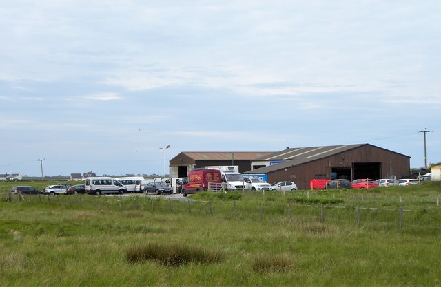
Nearby Amenities
Located within 500m of 57.418127,-7.3403343Have you been to Rubha Buidhe?
Leave your review of Rubha Buidhe below (or comments, questions and feedback).