A' Bhi
Coastal Feature, Headland, Point in Inverness-shire
Scotland
A' Bhi

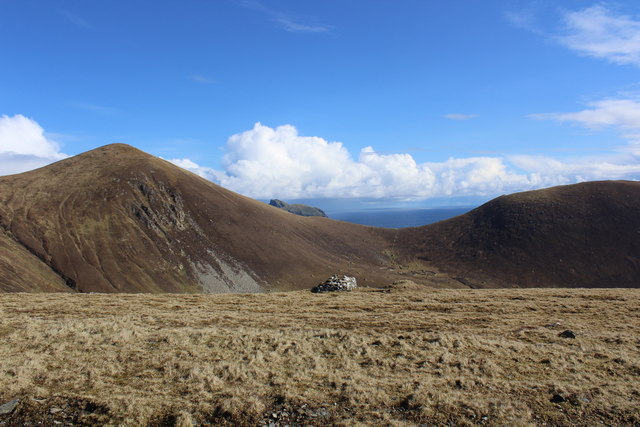
A' Bhi is a coastal feature located in Inverness-shire, a county in the Scottish Highlands. It is a headland or point that juts out into the sea, offering breathtaking views of the surrounding landscape.
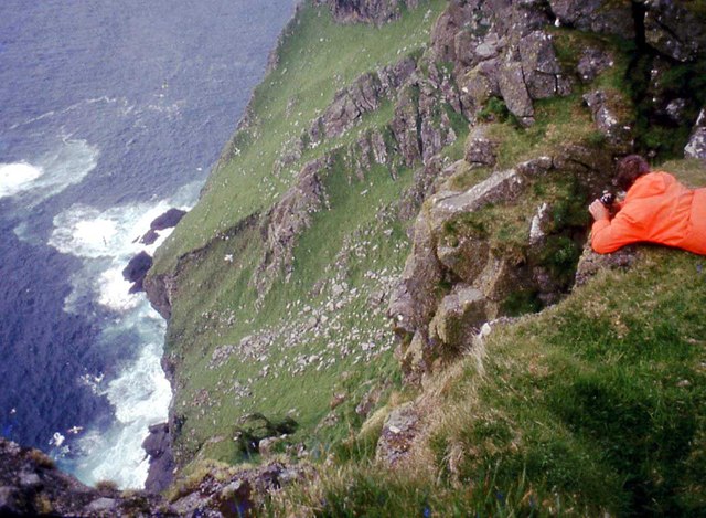
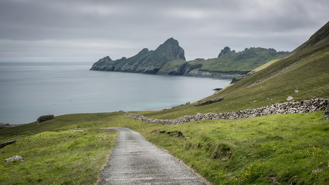
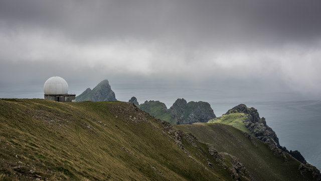
Situated on the western coast of Scotland, A' Bhi is characterized by its rugged cliffs and rocky terrain. The headland is composed of ancient volcanic rock formations, which have been shaped by the powerful forces of erosion over millions of years.
A' Bhi is known for its dramatic and picturesque scenery. The headland is surrounded by the vast expanse of the North Atlantic Ocean, which crashes against the cliffs with great force, creating a dramatic display of waves and spray. The area is also home to a diverse range of marine life, including seabirds, seals, and occasionally even dolphins and whales.
The headland is a popular destination for hikers and nature enthusiasts, as it offers numerous walking trails that wind along the coastline. These trails provide visitors with the opportunity to explore the rugged beauty of the area and to witness the incredible views from various vantage points. Additionally, A' Bhi is often visited by geologists and researchers, as the volcanic rock formations offer valuable insights into the geological history of the region.
Overall, A' Bhi is a stunning coastal feature that showcases the raw beauty of the Scottish Highlands. With its rugged cliffs, breathtaking views, and diverse wildlife, it is a must-visit destination for anyone seeking to immerse themselves in the natural wonders of Inverness-shire.
If you have any feedback on the listing, please let us know in the comments section below.
A' Bhi Images
Images are sourced within 2km of 57.79721/-8.5700324 or Grid Reference NF0997. Thanks to Geograph Open Source API. All images are credited.


A' Bhi is located at Grid Ref: NF0997 (Lat: 57.79721, Lng: -8.5700324)
Unitary Authority: Na h-Eileanan an Iar
Police Authority: Highlands and Islands
What 3 Words
///stores.boldest.household. Near Balivanich, Na h-Eileanan Siar
Nearby Locations
Related Wikis

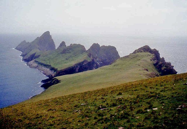
Dùn
Dùn is an island in St Kilda, Scotland. It is nearly 1 mile (1.6 kilometres) long. Its name simply means "fort" in Scottish Gaelic (for more information...

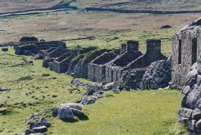
Hirta
Hirta (Scottish Gaelic: Hiort) is the largest island in the St Kilda archipelago, on the western edge of Scotland. The names Hiort (in Scottish Gaelic...

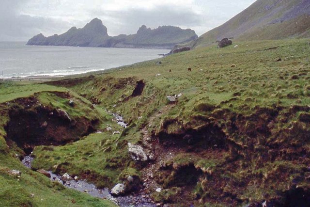
St Kilda, Scotland
St Kilda (Scottish Gaelic: Hiort) is an isolated archipelago situated 64 kilometres (40 mi) west-northwest of North Uist in the North Atlantic Ocean. It...

Stac Levenish
Stac Levenish or Stac Leibhinis (sometimes simply called Levenish/Leibhinis) is a sea stack in the St Kilda archipelago in Scotland. Lying 2.5 kilometres...
Nearby Amenities
Located within 500m of 57.79721,-8.5700324Have you been to A' Bhi?
Leave your review of A' Bhi below (or comments, questions and feedback).