Bridgedock Creek
Sea, Estuary, Creek in Essex Tendring
England
Bridgedock Creek
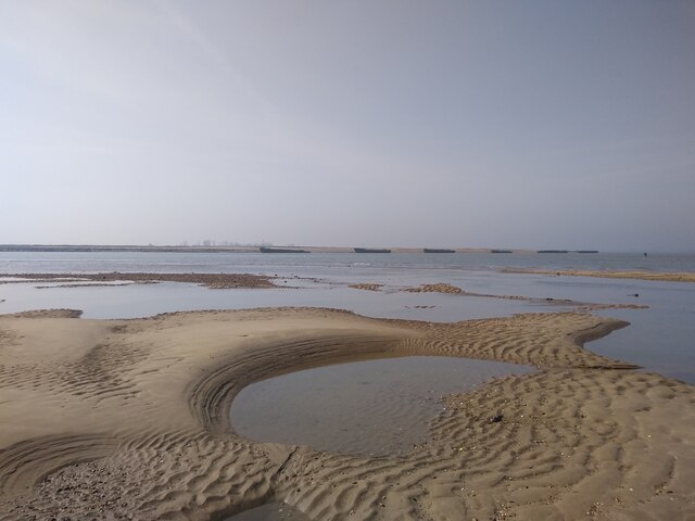
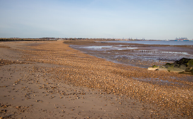
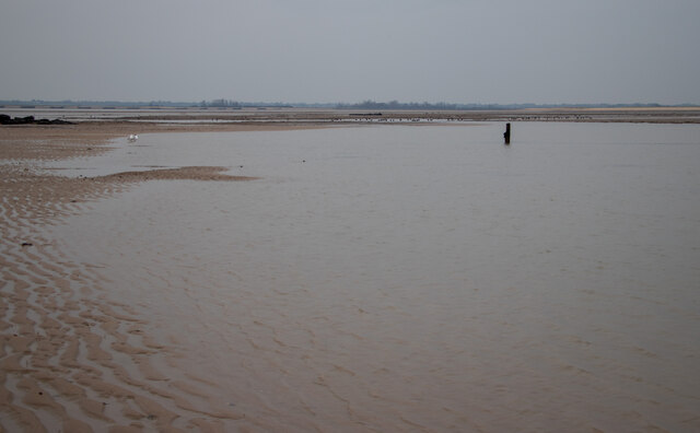
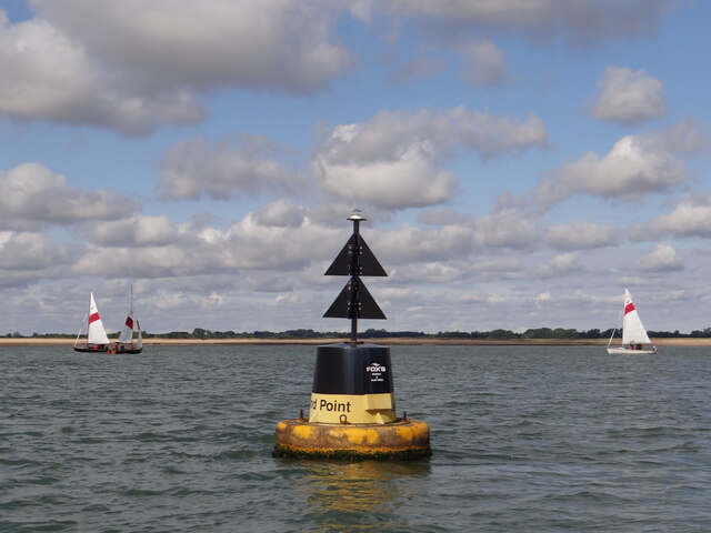
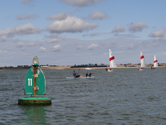
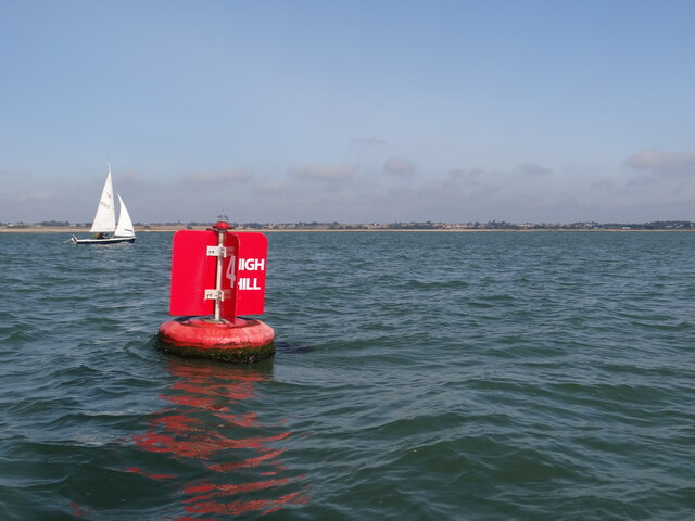
Bridgedock Creek is a significant water body located in Essex, England. It is a unique combination of a sea, estuary, and creek, making it a diverse and dynamic ecosystem.
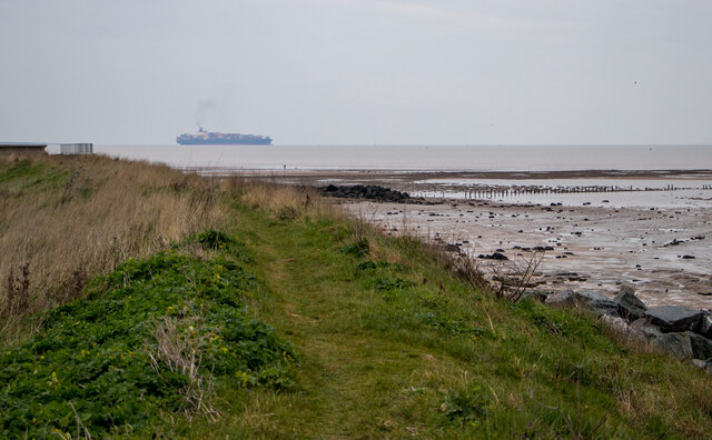
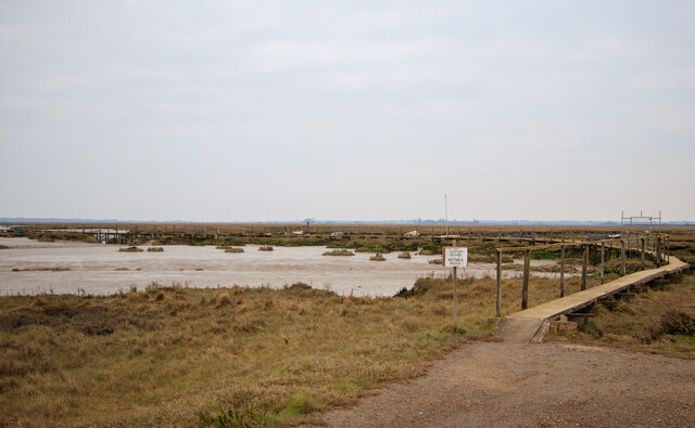
Situated on the eastern coast of England, Bridgedock Creek is primarily influenced by the North Sea. The sea's tidal movements create a constantly changing water level in the creek, leading to the formation of an estuary. This estuarine environment is characterized by a mix of fresh and saltwater, resulting in a rich array of flora and fauna.
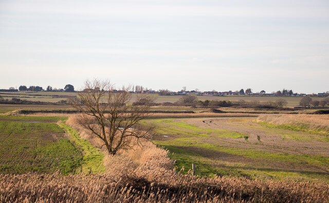
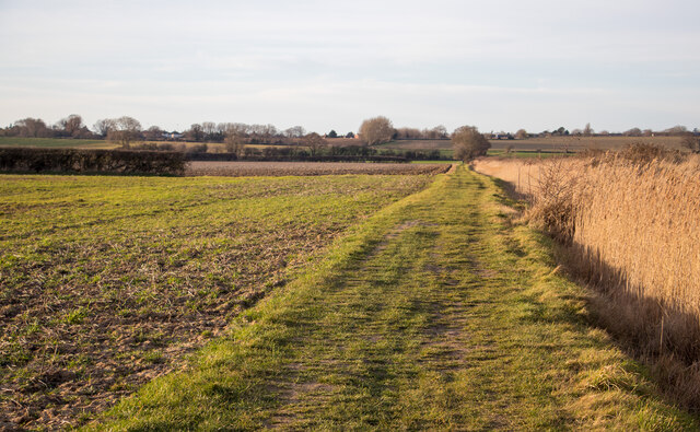
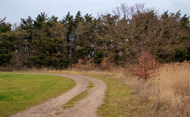
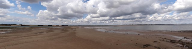
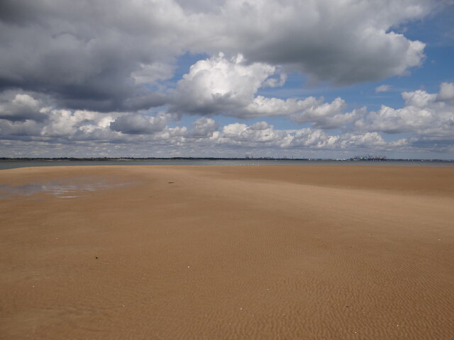
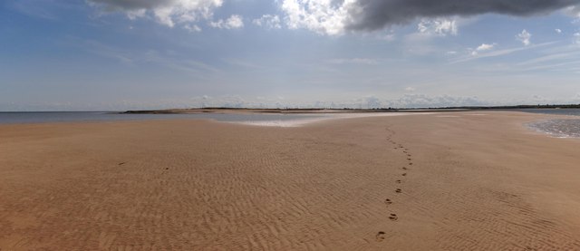
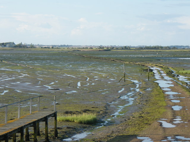
The creek itself is a narrow water channel that winds its way through the picturesque Essex countryside. Its banks are lined with reeds, salt marshes, and mudflats, providing essential habitats for a variety of species. The creek's depth varies depending on the tide, with some areas becoming completely dry during low tide.
The diverse range of wildlife found in Bridgedock Creek is truly remarkable. The estuary and creek are home to numerous species of birds, including wading birds, waterfowl, and migratory species. It is also a vital breeding ground for fish, such as sea trout and flounder, which rely on the creek's nutrient-rich waters.
Bridgedock Creek is not only a haven for wildlife but also a popular destination for outdoor enthusiasts. The creek offers excellent opportunities for boating, kayaking, and fishing. Its scenic beauty and peaceful surroundings attract visitors who seek solace in nature.
Overall, Bridgedock Creek's unique combination of sea, estuary, and creek creates a diverse and vibrant ecosystem, making it an important natural asset in Essex.
If you have any feedback on the listing, please let us know in the comments section below.
Bridgedock Creek Images
Images are sourced within 2km of 51.897718/1.2467542 or Grid Reference TM2327. Thanks to Geograph Open Source API. All images are credited.

Bridgedock Creek is located at Grid Ref: TM2327 (Lat: 51.897718, Lng: 1.2467542)
Administrative County: Essex
District: Tendring
Police Authority: Essex
What 3 Words
///sketching.hill.widgets. Near Dovercourt, Essex
Nearby Locations
Related Wikis

Pewit Island
Pewit Island is an uninhabited island at the north of Hamford Water off the coast of the English county of Essex. The nearest town is the port of Harwich...

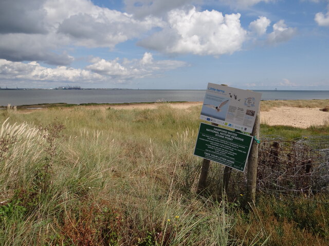
Hamford Water
Hamford Water is a 2,185.8-hectare (5,401-acre) biological Site of Special Scientific Interest between Walton-on-the-Naze and Harwich in Essex. The site...
Horsey Island
Horsey Island is an island in the parish of Thorpe-le-Soken, Essex. It lies in Hamford Water and is part of the Hamford Water National Nature Reserve,...

Little Oakley, Essex
Little Oakley is a village in Essex, England, on the western outskirts of Harwich. The parish population at the 2011 census was 1,171.It is the site of...

Little Oakley Channel Deposit
Little Oakley Channel Deposit is a three-hectare geological Site of Special Scientific Interest in Little Oakley in Essex, England. It is a Geological...

Little Oakley F.C.
Little Oakley Football Club is a football club based in Little Oakley, Essex, England. They are currently members of the Essex Senior League and play at...

Skipper's Island
Skipper's Island is a 94.3-hectare (233-acre) nature reserve north of Kirby-le-Soken in Essex, England. It is owned and managed by the Essex Wildlife Trust...

Harwich and Dovercourt High School
Harwich and Dovercourt High School is a secondary school and sixth form with academy status, located in Harwich in the English county of Essex. It was...
Have you been to Bridgedock Creek?
Leave your review of Bridgedock Creek below (or comments, questions and feedback).