Holbrook Creek
Sea, Estuary, Creek in Suffolk Babergh
England
Holbrook Creek
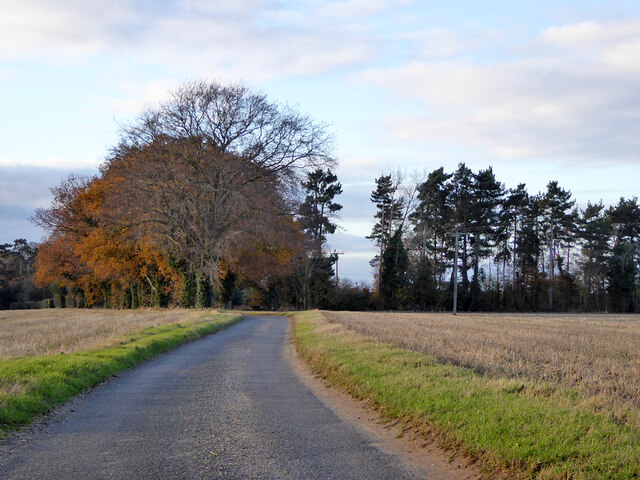
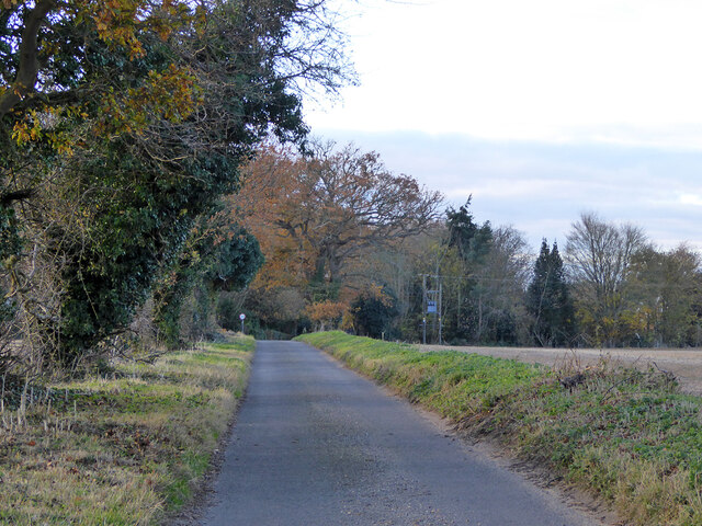
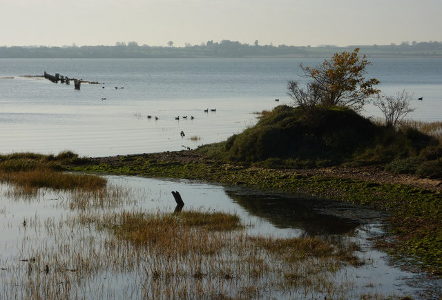
Holbrook Creek is a picturesque water body located in Suffolk, England. It is a narrow creek that meanders through the charming countryside, providing a serene and tranquil environment for visitors and locals alike. The creek is situated just a few miles away from the North Sea, making it an estuary where the river meets the sea.
The creek spans approximately 5 miles in length and is surrounded by lush greenery, including reed beds and marshes, creating a diverse and rich ecosystem. The surrounding landscape is dotted with quaint villages and farmland, adding to the idyllic charm of the area.
Holbrook Creek is home to a variety of flora and fauna, making it a haven for nature enthusiasts and birdwatchers. The creek supports a range of bird species, including herons, swans, ducks, and geese. It also serves as a habitat for various fish species, such as bass and flounder.
The creek is navigable by small boats, allowing visitors to explore its winding waterways and enjoy the peaceful atmosphere. Kayaking and canoeing are popular activities on the creek, providing an opportunity to observe the wildlife up close.
Holbrook Creek is not only a natural beauty but also holds historical significance. The area was once used for shipping and trade, with evidence of old wharves and boatyards still visible along its banks.
Overall, Holbrook Creek in Suffolk offers a delightful blend of natural beauty, tranquility, and historical charm, making it a must-visit destination for those seeking a peaceful retreat in the heart of Suffolk's countryside.
If you have any feedback on the listing, please let us know in the comments section below.
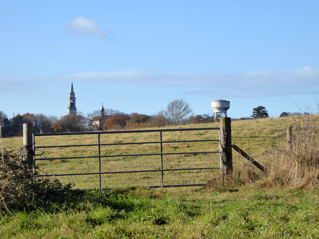
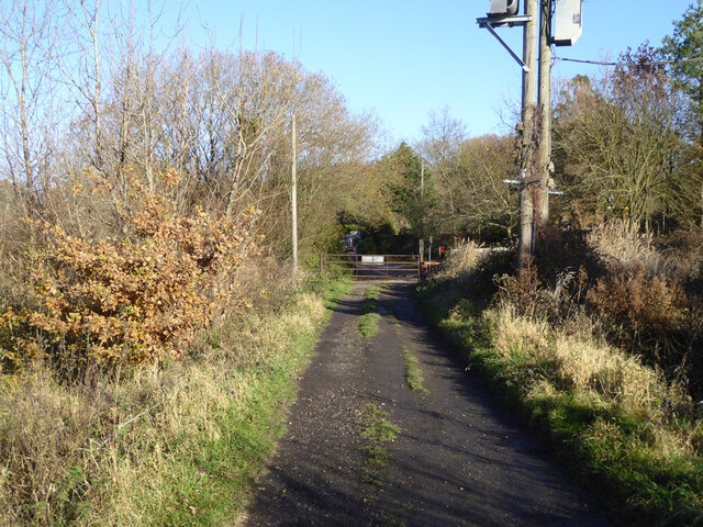
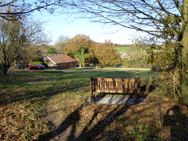
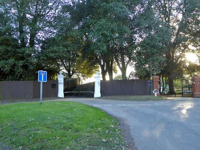
Holbrook Creek Images
Images are sourced within 2km of 51.956719/1.1589275 or Grid Reference TM1733. Thanks to Geograph Open Source API. All images are credited.


Holbrook Creek is located at Grid Ref: TM1733 (Lat: 51.956719, Lng: 1.1589275)
Administrative County: Suffolk
District: Babergh
Police Authority: Suffolk
What 3 Words
///unloads.strong.trooper. Near Holbrook, Suffolk
Nearby Locations
Related Wikis
Stour Estuary
Stour Estuary is a 2,523 hectare biological and geological Site of Special Scientific Interest which stretches from Manningtree to Harwich in Essex and...
Royal Hospital School
The Royal Hospital School (usually shortened as "RHS" and historically nicknamed "The Cradle of the Navy") is a British co-educational fee-charging boarding...

Oakfield Wood
Oakfield Wood is a 2.8-hectare (6.9-acre) nature reserve west of Wrabness in Essex. It is managed by the Essex Wildlife Trust. This is former farmland...

Wrabness
Wrabness is a small village and civil parish near Manningtree, Essex, England. The village is located six miles (10 km) west of Harwich. Wrabness railway...
Have you been to Holbrook Creek?
Leave your review of Holbrook Creek below (or comments, questions and feedback).