Holbrook Bay
Bay in Suffolk Babergh
England
Holbrook Bay
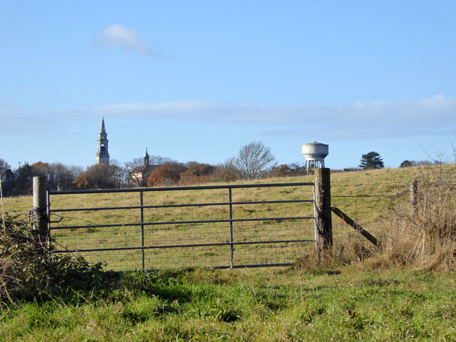
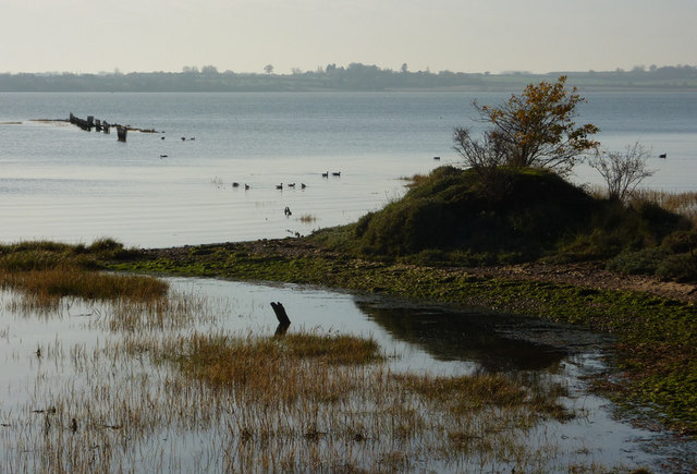
Holbrook Bay is a small bay located on the eastern coast of England, specifically in the county of Suffolk. It is situated between the villages of Holbrook and Stutton, and it opens up to the River Stour, which eventually flows into the North Sea. The bay is known for its picturesque landscape and its important role in the local ecosystem.
Holbrook Bay is characterized by its sandy beaches, which attract visitors looking for a peaceful and serene coastal experience. The bay's shoreline is dotted with reed beds and salt marshes, which serve as habitats for a variety of bird species, including herons, avocets, and oystercatchers. This makes the bay a popular destination for birdwatchers and nature enthusiasts.
The bay also holds historical significance, as it was once a crucial port for trade and transportation in the area during the 18th and 19th centuries. Today, remnants of old quays and jetties can still be seen along the shoreline, providing a glimpse into its maritime past.
In addition to its natural and historical attractions, Holbrook Bay offers recreational activities such as sailing, kayaking, and fishing. Its calm waters and gentle tides make it an ideal spot for water sports enthusiasts of all skill levels.
Overall, Holbrook Bay in Suffolk is a charming coastal area that combines natural beauty, historical heritage, and recreational opportunities, making it a popular destination for both locals and tourists alike.
If you have any feedback on the listing, please let us know in the comments section below.
Holbrook Bay Images
Images are sourced within 2km of 51.961303/1.1616959 or Grid Reference TM1733. Thanks to Geograph Open Source API. All images are credited.


Holbrook Bay is located at Grid Ref: TM1733 (Lat: 51.961303, Lng: 1.1616959)
Administrative County: Suffolk
District: Babergh
Police Authority: Suffolk
What 3 Words
///outraged.ordeals.plank. Near Holbrook, Suffolk
Nearby Locations
Related Wikis
Stour Estuary
Stour Estuary is a 2,523 hectare biological and geological Site of Special Scientific Interest which stretches from Manningtree to Harwich in Essex and...

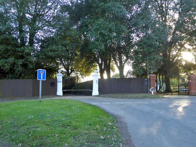
Royal Hospital School
The Royal Hospital School (usually shortened as "RHS" and historically nicknamed "The Cradle of the Navy") is a British co-educational fee-charging boarding...

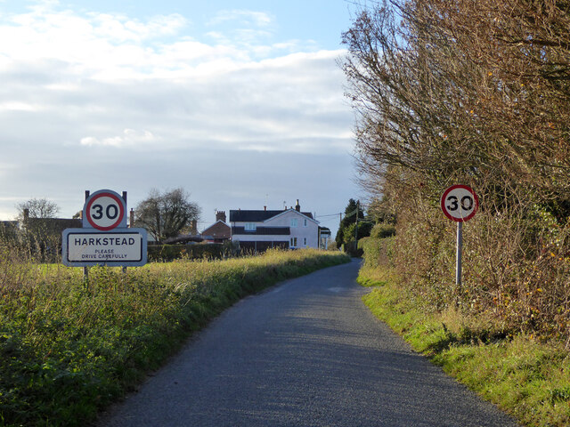
Harkstead
Harkstead is a village and civil parish in the county of Suffolk, England. The village is located on the northern bank of the River Stour estuary at Holbrook...

Wrabness
Wrabness is a small village and civil parish near Manningtree, Essex, England. The village is located six miles (10 km) west of Harwich. Wrabness railway...

Oakfield Wood
Oakfield Wood is a 2.8-hectare (6.9-acre) nature reserve west of Wrabness in Essex. It is managed by the Essex Wildlife Trust.This is former farmland which...

Stutton, Suffolk
Stutton is a small village and a civil parish approximately seven miles south of Ipswich in Suffolk, United Kingdom, on the Shotley peninsula. The village...

Holbrook, Suffolk
Holbrook is a village situated close to the northern shore of the estuary of the River Stour, in Suffolk, England. It is located on the Shotley Peninsula...

Wrabness railway station
Wrabness railway station is on the Mayflower Line, a branch of the Great Eastern Main Line in the East of England, serving the village of Wrabness, Essex...
Have you been to Holbrook Bay?
Leave your review of Holbrook Bay below (or comments, questions and feedback).