Ballister Creek

Sea, Estuary, Creek in Essex Tendring

England

Ballister Creek

The Bradfield Memorial Stone Recently installed (Aug 2021). Dedicated to the memory of the fallen in all wars and the 75th anniversary (2020) of VE and VJ Days. Erected by the Bradfield Community at the edge of the village playing field.
The Bradfield Memorial Stone Credit: Tony Peacock

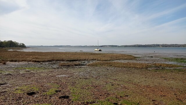
Ballister Creek is a picturesque waterway located in Essex, England. Situated between the sea and an estuary, the creek offers a unique blend of natural beauty and a thriving ecosystem. Spanning approximately 4 miles in length, the creek meanders through lush marshlands, providing a haven for a diverse range of plant and animal species.

The creek is known for its tranquil atmosphere, with calm waters that create an ideal environment for boating and fishing enthusiasts. Its proximity to the sea allows for easy access to the open waters, making it a popular spot for sailing and other water sports. The creek's gentle tides and protected nature also provide a safe environment for beginners and families to enjoy various recreational activities.

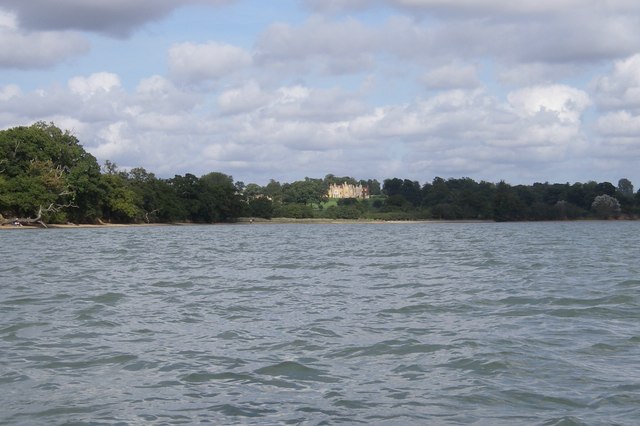
Surrounded by scenic landscapes, Ballister Creek offers stunning views of the surrounding countryside and the estuary. The marshlands are home to a wide array of bird species, including herons, egrets, and various types of waterfowl, making it a birdwatcher's paradise. Visitors can also spot seals and other marine wildlife near the creek's mouth, where it meets the sea.

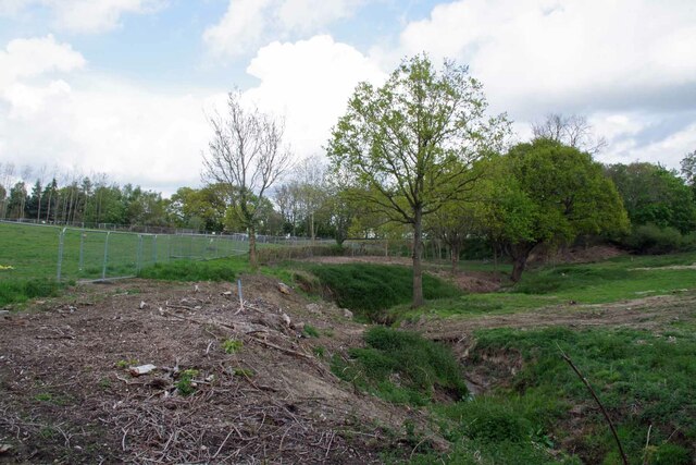
The area surrounding Ballister Creek is a designated nature reserve, ensuring the preservation of its unique ecosystem. The creek's importance as a habitat for wildlife and its ecological significance contribute to its status as a protected area.

Overall, Ballister Creek is a hidden gem in Essex, offering both natural beauty and recreational opportunities for visitors and locals alike. Its serene atmosphere and diverse ecosystem make it a must-visit destination for nature enthusiasts and those seeking a peaceful retreat.

If you have any feedback on the listing, please let us know in the comments section below.

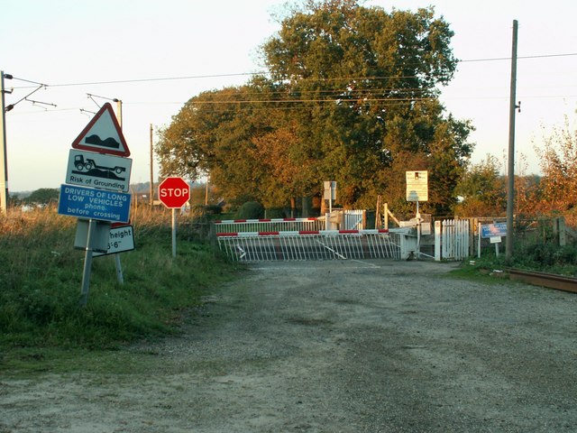
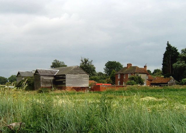
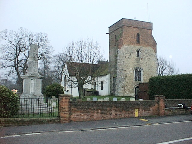
Ballister Creek Images

Images are sourced within 2km of 51.946306/1.1119429 or Grid Reference TM1332. Thanks to Geograph Open Source API. All images are credited.

The Bradfield Memorial Stone Recently installed (Aug 2021). Dedicated to the memory of the fallen in all wars and the 75th anniversary (2020) of VE and VJ Days. Erected by the Bradfield Community at the edge of the village playing field.
The Bradfield Memorial Stone
Recently installed (Aug 2021). Dedicated to the memory of the fallen in all wars and the 75th anniversary (2020) of VE and VJ Days. Erected by the Bradfield Community at the edge of the village playing field.
Bradfield Parish Church, Essex Bradfield Church (Saint Lawrence), taken from the car park of the Stranger's Home Inn.
Bradfield Parish Church, Essex
Bradfield Church (Saint Lawrence), taken from the car park of the Stranger's Home Inn.
Boat on the River Stour A sailboat on the River Stour at low tide.
Boat on the River Stour
A sailboat on the River Stour at low tide.
Stream in New Mistley The stream ends up in the Landooze Rill in the Stour. I suspect the land behind the fence will soon be re-developed.
Stream in New Mistley
The stream ends up in the Landooze Rill in the Stour. I suspect the land behind the fence will soon be re-developed.
A Glimpse of the Stour The CCTV cameras of  the Wharf in New Mistley can just be seen at the bottom of the frame. The weather coming from Suffolk looked ominous (and it was).
A Glimpse of the Stour
The CCTV cameras of the Wharf in New Mistley can just be seen at the bottom of the frame. The weather coming from Suffolk looked ominous (and it was).
Allotments in New Mistley A scrap of land between the B1352 and the railway.
Allotments in New Mistley
A scrap of land between the B1352 and the railway.
The Wharf at New Mistley Taken through the locked gates to the wharf
The Wharf at New Mistley
Taken through the locked gates to the wharf
Bradfield Church
Bradfield Church
Maritime woodland at Stutton in Suffolk On the north side of the Stour estuary ancient trees overhang salt water
Maritime woodland at Stutton in Suffolk
On the north side of the Stour estuary ancient trees overhang salt water
Stutton ness The ancient oaks of Stutton ness dip their boughs in the salty waters of the Stour estuary.
Stutton ness
The ancient oaks of Stutton ness dip their boughs in the salty waters of the Stour estuary.
Farmhouse at Whitehouse Farm This is the view from the end of Straight Road.
Farmhouse at Whitehouse Farm
This is the view from the end of Straight Road.
Houses at Mistley Heath, Essex
Railway Crossing Nether Hall is the only place on the other side of this crossing, which is the northern side.
Railway Crossing
Nether Hall is the only place on the other side of this crossing, which is the northern side.
The B.1352 at Bradfield This section of the road is known as Ship Hill.
The B.1352 at Bradfield
This section of the road is known as Ship Hill.
The road to Jacques Hall This is the view from Lonbarn Farm.
The road to Jacques Hall
This is the view from Lonbarn Farm.
Ragmarsh Farm, Bradfield Taken from the Essex Way footpath.
Ragmarsh Farm, Bradfield
Taken from the Essex Way footpath.
Jacques Bay, Bradfield The gridsquare extends roughly as far as the post that can be seen rising out of the water. Taken from the Essex Way footpath looking across the Stour towards Suffolk.
Jacques Bay, Bradfield
The gridsquare extends roughly as far as the post that can be seen rising out of the water. Taken from the Essex Way footpath looking across the Stour towards Suffolk.
Essex Way footpath between Bradfield - Wrabness
Show me another place!

Ballister Creek is located at Grid Ref: TM1332 (Lat: 51.946306, Lng: 1.1119429)

Administrative County: Essex

District: Tendring

Police Authority: Essex

What 3 Words

///obviously.crackling.weeded. Near Mistley, Essex

Related Wikis

Bradfield railway station

Bradfield railway station served the village of Bradfield in Essex. It was on the Manningtree to Harwich branch line, which is today known as The Mayflower...

Bradfield, Essex

Bradfield is a village and civil parish in Essex, England. It is located about 3 miles (5 km) east of Manningtree and is 31 miles (50 km) northeast from...

Mistley

Mistley is a village and civil parish in the Tendring district of northeast Essex, England. It is around 11 miles northeast of Colchester and is east of...

Mistley railway station

Mistley railway station is on the Mayflower Line, a branch of the Great Eastern Main Line in the East of England, serving the village of Mistley, Essex...

Wrabness Nature Reserve

Wrabness Nature Reserve is a 27 hectare Local Nature Reserve on the south bank of the River Stour, west of Wrabness in Essex. It is managed by the Essex...

Mistley Towers

Mistley Towers are the twin towers of the now demolished Church of St. Mary the Virgin at Mistley in Essex (sometimes known as Mistley Thorn(e) Church...

Oakfield Wood

Oakfield Wood is a 2.8-hectare (6.9-acre) nature reserve west of Wrabness in Essex. It is managed by the Essex Wildlife Trust.This is former farmland which...

Priory Halt railway station

Priory Halt railway station served the district of Tendring, Essex, England, from 1920 to 1965 on the Mayflower Line. == History == The station opened...

Nearby Amenities

Located within 500m of 51.946306,1.1119429
Seamark Buoy Lateral Category: port
Seamark Buoy Lateral Colour: red
Seamark Buoy Lateral Shape: can
Seamark Buoy Lateral System: iala-a
Seamark Light Character: Fl
Seamark Light Colour: red
Seamark Light Period: 5
Seamark Name: No. 10
Seamark Type: buoy_lateral
Lat/Long: 51.9482461/1.1088307
Seamark Buoy Lateral Category: starboard
Seamark Buoy Lateral Colour: green
Seamark Buoy Lateral Shape: conical
Seamark Buoy Lateral System: iala-a
Seamark Light Character: Fl
Seamark Light Colour: green
Seamark Light Period: 5
Seamark Name: No. 9
Seamark Type: buoy_lateral
Lat/Long: 51.9490132/1.1082406
The data included in this document is from www.openstreetmap.org. The data is made available under ODbL.

Have you been to Ballister Creek?

Leave your review of Ballister Creek below (or comments, questions and feedback).