Ballasthill Reach
Sea, Estuary, Creek in Suffolk Tendring
England
Ballasthill Reach

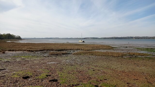
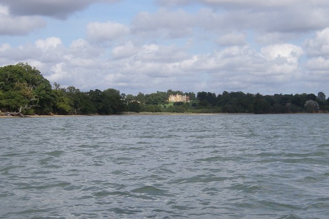
Ballasthill Reach is a picturesque and serene location situated in Suffolk, England. Nestled between the towns of Felixstowe and Shotley Gate, it is revered for its stunning natural beauty and its unique blend of sea, estuary, and creek.
At Ballasthill Reach, visitors are greeted by the mesmerizing sight of the North Sea meeting the River Orwell estuary, creating a breathtaking backdrop. The estuary, with its calm and tranquil waters, provides a perfect haven for various species of wildlife. Birdwatchers flock to this area to catch a glimpse of rare and migratory birds, such as avocets, marsh harriers, and spoonbills.
The creek, known as Ballasthole Creek, enhances the charm of the location. This small, winding waterway is flanked by lush marshland and reed beds, which provide a habitat for numerous water creatures. It is not uncommon to spot seals basking on the sandbanks or playful otters swimming gracefully in the creek.
Ballasthill Reach is also steeped in history. It was once a bustling harbor during the 19th century, serving as a crucial trading point for cargo ships. Today, remnants of its maritime past can still be seen through the abandoned dockyards and historic buildings that dot the landscape.
This idyllic location offers a multitude of recreational activities, including walking trails, fishing, and boating. Visitors can explore the area by foot or take a leisurely boat trip along the estuary, soaking in the natural splendor that Ballasthill Reach has to offer.
In conclusion, Ballasthill Reach in Suffolk is a captivating destination that seamlessly combines the beauty of the sea, estuary, and creek. Its diverse wildlife, rich history, and recreational opportunities make it a must-visit location for nature enthusiasts and history buffs alike.
If you have any feedback on the listing, please let us know in the comments section below.
Ballasthill Reach Images
Images are sourced within 2km of 51.949094/1.1064888 or Grid Reference TM1332. Thanks to Geograph Open Source API. All images are credited.


Ballasthill Reach is located at Grid Ref: TM1332 (Lat: 51.949094, Lng: 1.1064888)
Administrative County: Essex
District: Tendring
Police Authority: Essex
What 3 Words
///double.outgrown.defensive. Near Mistley, Essex
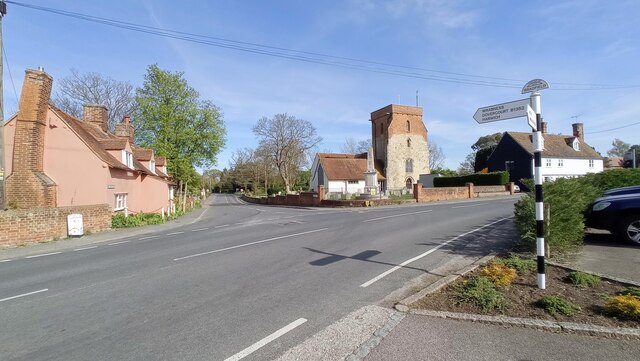
Nearby Locations
Related Wikis

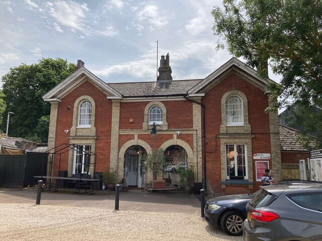
Bradfield railway station
Bradfield railway station served the village of Bradfield in Essex. It was on the Manningtree to Harwich branch line, which is today known as The Mayflower...

Mistley
Mistley is a village and civil parish in the Tendring district of northeast Essex, England. It is around 11 miles northeast of Colchester and is east of...

Mistley railway station
Mistley railway station is on the Mayflower Line, a branch of the Great Eastern Main Line in the East of England, serving the village of Mistley, Essex...
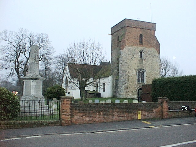
Mistley Towers
Mistley Towers are the twin towers of the now demolished Church of St. Mary the Virgin at Mistley in Essex (sometimes known as Mistley Thorn(e) Church...
Bradfield, Essex
Bradfield is a village and civil parish in Essex, England. It is located about 3 miles (5 km) east of Manningtree and is 31 miles (50 km) northeast from...

Wrabness Nature Reserve
Wrabness Nature Reserve is a 27 hectare Local Nature Reserve on the south bank of the River Stour, west of Wrabness in Essex. It is managed by the Essex...

Stutton, Suffolk
Stutton is a small village and a civil parish approximately seven miles south of Ipswich in Suffolk, United Kingdom, on the Shotley peninsula. The village...
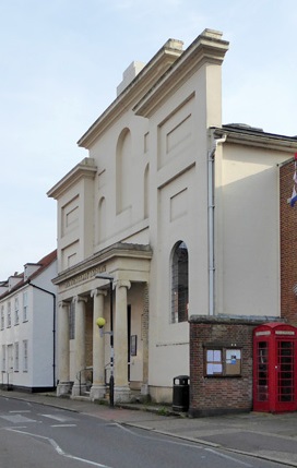
Corn Exchange, Manningtree
The Corn Exchange is a commercial building in the High Street in Manningtree, Essex, England. The structure, which is now used as a public library, is...
Nearby Amenities
Located within 500m of 51.949094,1.1064888Have you been to Ballasthill Reach?
Leave your review of Ballasthill Reach below (or comments, questions and feedback).