Cley Channel
Sea, Estuary, Creek in Norfolk North Norfolk
England
Cley Channel
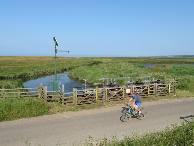
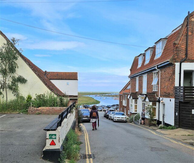
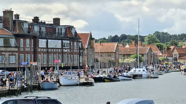
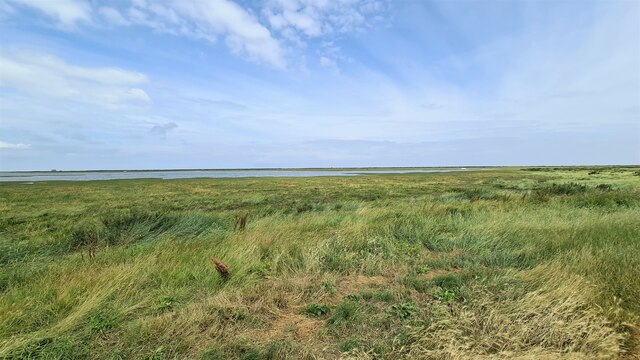
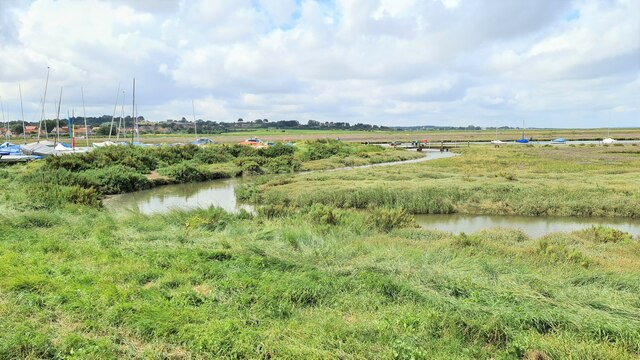
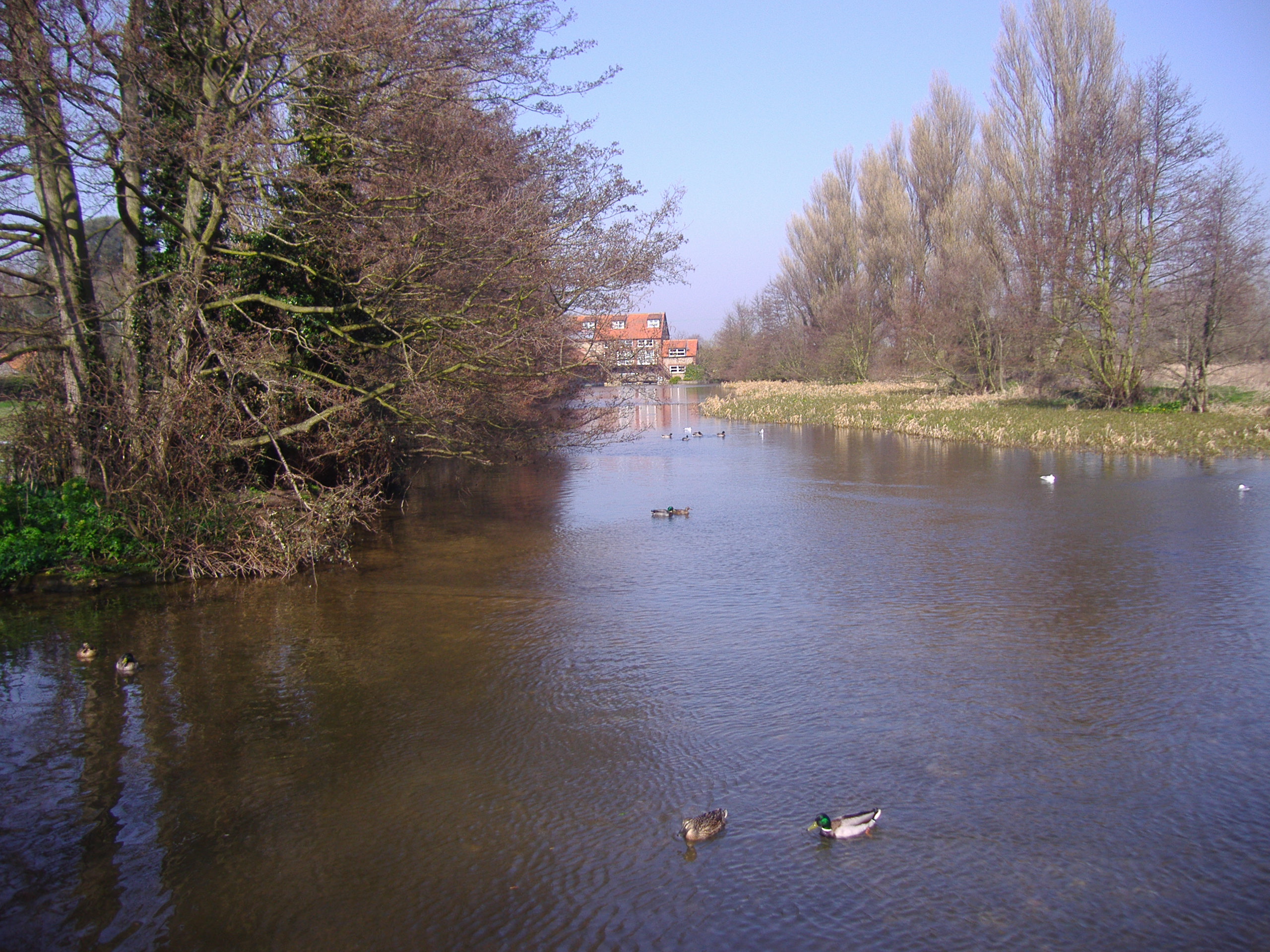
Cley Channel is a prominent waterway located in Norfolk, England. It serves as a vital link connecting the North Sea with the Cley Marshes, a renowned nature reserve and estuary. The channel acts as a gateway for seawater to flow in and out of the marshes, creating a unique ecosystem that supports a diverse range of flora and fauna.
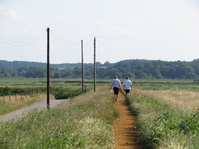
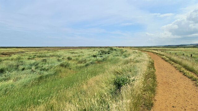
The channel stretches for approximately 1.5 kilometers, starting from the village of Cley-next-the-Sea and extending towards Blakeney Point. It is primarily characterized by its narrow and meandering path, winding its way through the marshes and offering breathtaking views of the surrounding landscape.
Due to its strategic location, Cley Channel serves several important functions. Firstly, it plays a crucial role in maintaining the delicate balance of saltwater and freshwater within the estuary, which is vital for the survival of various species of birds, plants, and marine life. Secondly, it provides a natural drainage system, helping to regulate water levels and prevent flooding in the surrounding areas during heavy rainfall or storm surges.
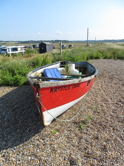
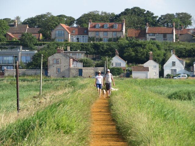
The channel is also a popular destination for birdwatching enthusiasts, as it attracts a wide variety of avian species throughout the year. Visitors can spot rare and migratory birds such as avocets, marsh harriers, and pink-footed geese, among others.
Overall, Cley Channel is a significant natural feature in Norfolk, serving as a lifeline for the Cley Marshes and providing a unique habitat for a diverse range of wildlife.
If you have any feedback on the listing, please let us know in the comments section below.
Cley Channel Images
Images are sourced within 2km of 52.966438/1.0259437 or Grid Reference TG0345. Thanks to Geograph Open Source API. All images are credited.
Cley Channel is located at Grid Ref: TG0345 (Lat: 52.966438, Lng: 1.0259437)
Administrative County: Norfolk
District: North Norfolk
Police Authority: Norfolk
What 3 Words
///utter.disengage.overtones. Near Wells-next-the-Sea, Norfolk
Nearby Locations
Related Wikis

Blakeney Chapel
Blakeney Chapel is a ruined building on the coast of North Norfolk, England. Despite its name, it was probably not a chapel, nor is it in the adjoining...
River Glaven
The River Glaven in the eastern English county of Norfolk is 10.5 mi (16.9 km) long and flows through picturesque North Norfolk countryside to the North...

Blakeney Guildhall
Blakeney Guildhall is a building in the coastal village of Blakeney in the north of the county of Norfolk. The property is in the care of English Heritage...

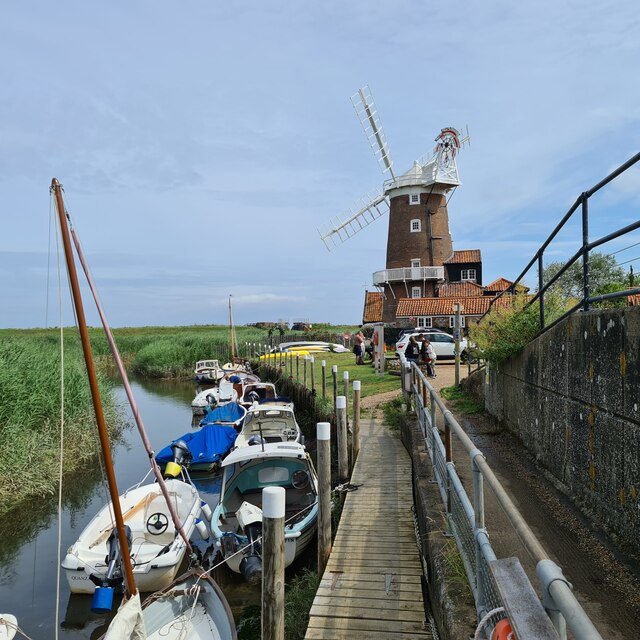
Blakeney Windmill
Blakeney Tower Windmill, built in 1769, is located on Friar Farm just to the east of the village of Blakeney in the English county of Norfolk. The mill...

Wiveton Hall
Wiveton Hall is a country house in Wiveton, Norfolk, England. It is Grade II* listed. It was built in 1652 and extended in 1908. However there are remains...

Blakeney, Norfolk
Blakeney is a coastal village and civil parish in the English county of Norfolk. Blakeney lies within the Norfolk Coast AONB (Area of Outstanding Natural...

St Nicholas, Blakeney
St Nicholas is the Anglican parish church of Blakeney, Norfolk, in the deanery of Holt and the Diocese of Norwich. The church was founded in the 13th century...

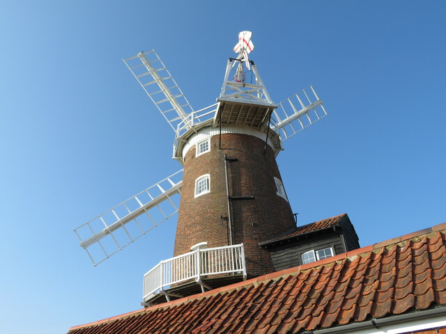
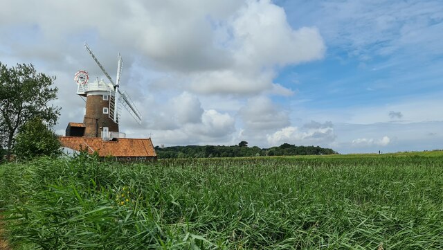
Cley Windmill
Cley Windmill is a Grade II* listed tower mill at Cley next the Sea, Norfolk, England which has been converted to residential accommodation. == History... ==
Nearby Amenities
Located within 500m of 52.966438,1.0259437Have you been to Cley Channel?
Leave your review of Cley Channel below (or comments, questions and feedback).