South Geedon Creek
Sea, Estuary, Creek in Essex Colchester
England
South Geedon Creek
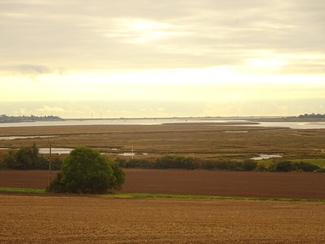
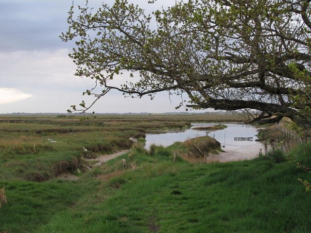
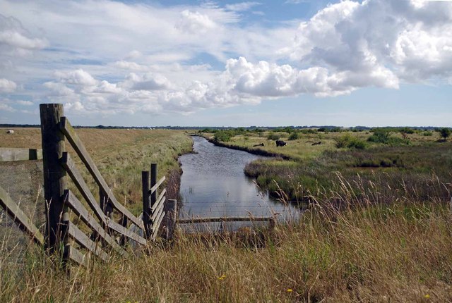
South Geedon Creek is a picturesque coastal feature located in Essex, England. It is situated along the southeastern coast of the county, near the popular seaside town of Clacton-on-Sea. This natural waterway is formed by the convergence of the sea, estuary, and creek, creating a unique ecosystem that attracts both locals and tourists.
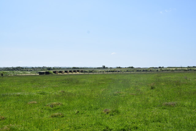
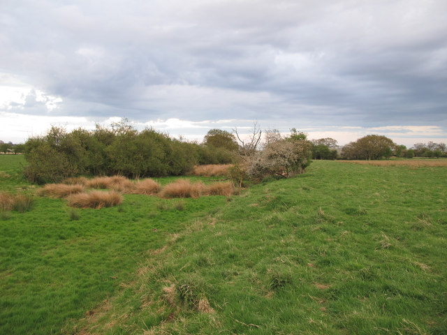
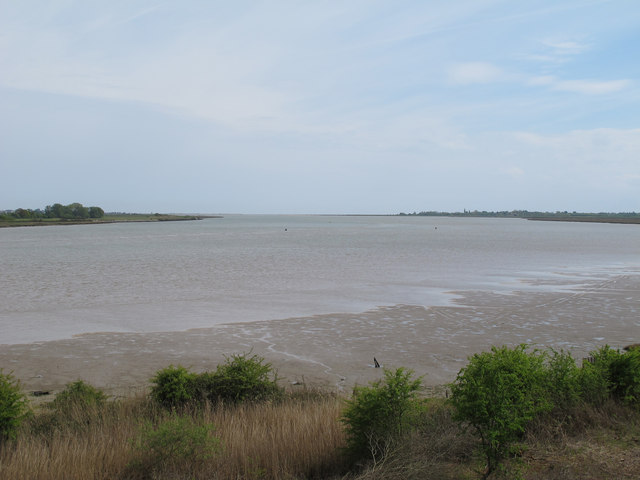
The creek serves as a vital link between the North Sea and the River Colne, providing an important route for maritime traffic. It is flanked by marshes and mudflats, which support a diverse range of plant and animal species. These wetlands are home to various species of birds, including waders, waterfowl, and migratory birds.
The creek itself offers a tranquil setting for recreational activities such as boating, fishing, and birdwatching. Its calm waters are ideal for kayaking and canoeing, allowing visitors to explore the scenic surroundings at their leisure. Additionally, the creek is a popular spot for fishing enthusiasts, with an abundance of fish species including bass, flounder, and mullet.
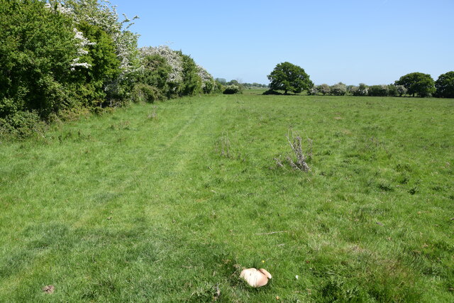
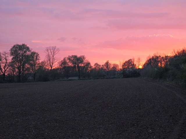
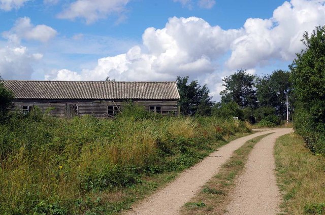
The surrounding area of South Geedon Creek is characterized by stunning natural beauty. Visitors can enjoy breathtaking views of the estuary, with its ever-changing tides and shifting sandbanks. The nearby sandy beaches provide ample opportunities for sunbathing, sandcastle building, and leisurely walks along the shoreline.
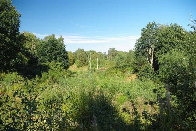
Overall, South Geedon Creek is a captivating coastal feature that showcases the natural splendor of Essex. Its unique blend of sea, estuary, and creek makes it a haven for wildlife and a delightful destination for nature lovers and outdoor enthusiasts.
If you have any feedback on the listing, please let us know in the comments section below.
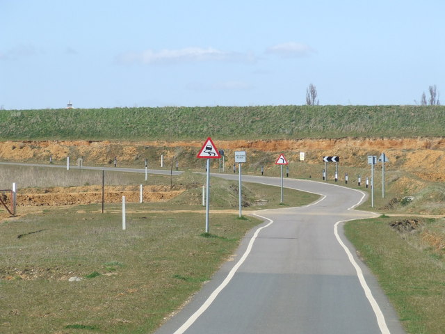
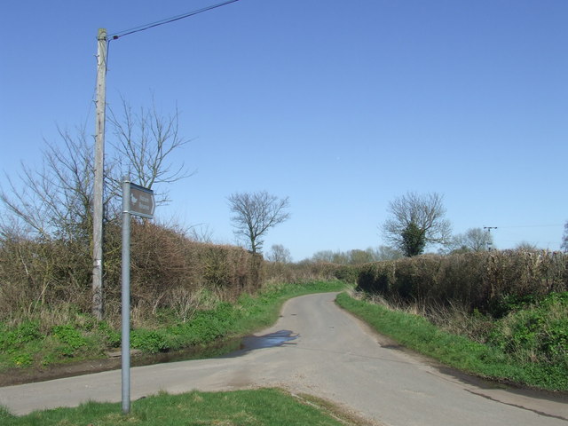
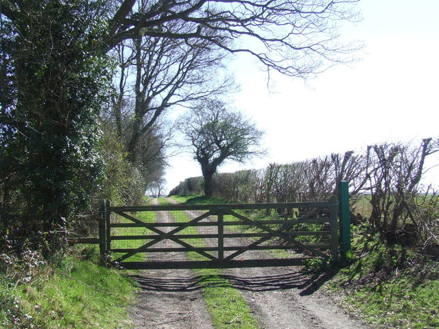
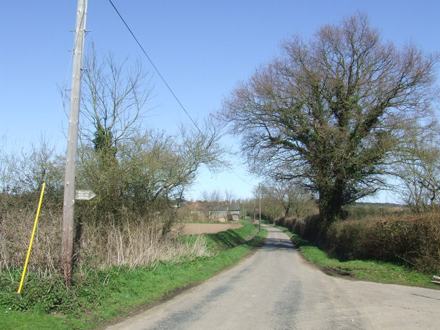
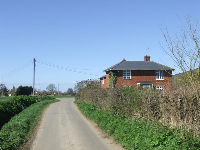
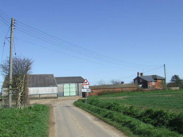
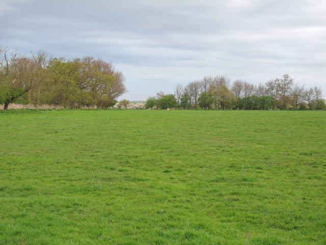
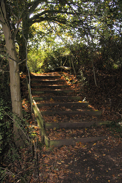
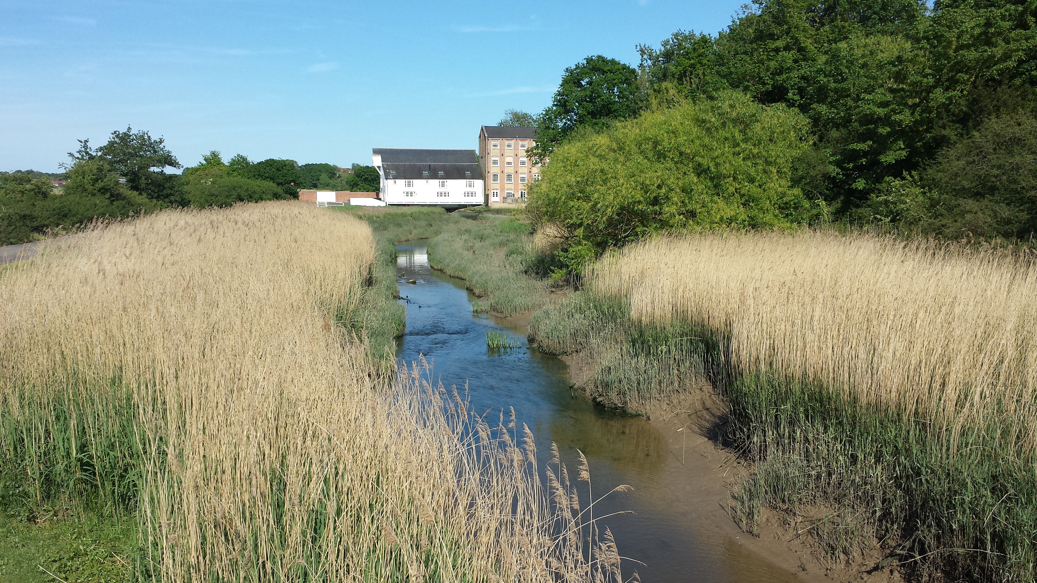
South Geedon Creek Images
Images are sourced within 2km of 51.823454/0.95312879 or Grid Reference TM0317. Thanks to Geograph Open Source API. All images are credited.
South Geedon Creek is located at Grid Ref: TM0317 (Lat: 51.823454, Lng: 0.95312879)
Administrative County: Essex
District: Colchester
Police Authority: Essex
What 3 Words
///grows.spoken.prominent. Near Wivenhoe, Essex
Nearby Locations
Related Wikis

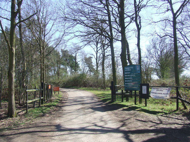
Fingringhoe Wick
Fingringhoe Wick is a 48.6-hectare (120-acre) nature reserve in Fingringhoe in Essex. It is managed by the Essex Wildlife Trust, which runs a visitor centre...
Fingringhoe
Fingringhoe is a village and civil parish in the City of Colchester district of Essex, England. The centre of the village is classified as a conservation...

Colne Estuary
Colne Estuary is a 2915 hectare biological and geological Site of Special Scientific Interest near Brightlingsea in Essex. It is also a Nature Conservation...
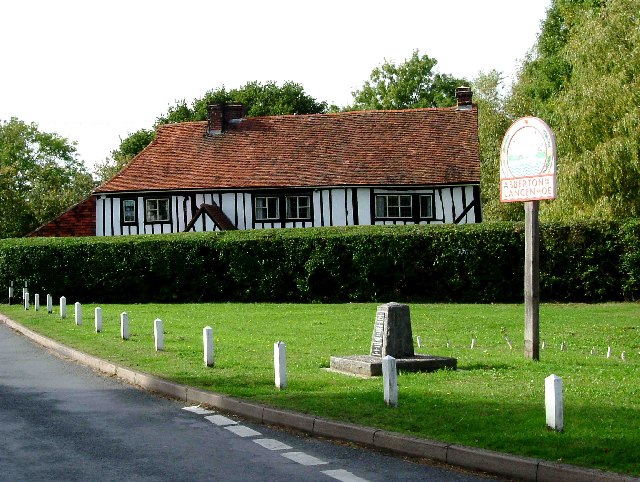
Langenhoe
Langenhoe is a village in the City of Colchester district of Essex, England, located south of Colchester. According to the 2001 census it had a population...
Abberton, Essex
Abberton is a village in the City of Colchester district of Essex, England. It is located approximately 0.62 mi (1.00 km) east of Abberton Reservoir and...
East Donyland
East Donyland is a civil parish in the City of Colchester district of Essex, England. The civil parish includes the village of Rowhedge. The parish touches...

Mersea Island
Mersea Island is an island in Essex, England, in the Blackwater and Colne estuaries to the south-east of Colchester. Its name comes from the Old English...
Roman River
The Roman River is a river that flows entirely through the English county of Essex. It is a tributary of the River Colne, flowing into its tidal estuary...
Nearby Amenities
Located within 500m of 51.823454,0.95312879Have you been to South Geedon Creek?
Leave your review of South Geedon Creek below (or comments, questions and feedback).