Bridgemarsh Creek
Sea, Estuary, Creek in Essex Maldon
England
Bridgemarsh Creek

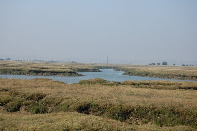
Bridgemarsh Creek is a picturesque waterway located in the county of Essex, England. It is situated on the eastern coast of the country, near the village of St. Lawrence. The creek is formed by the confluence of two smaller rivers, the St. Lawrence River and the Old Hall Creek.
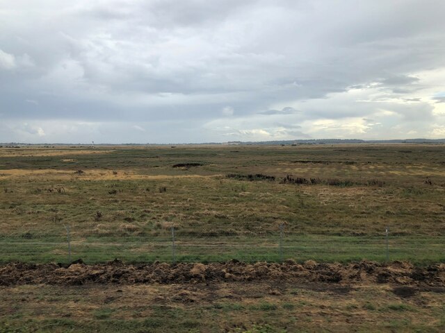
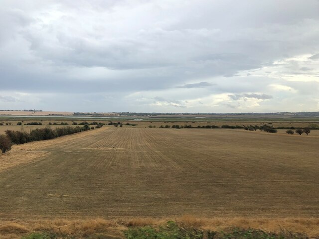
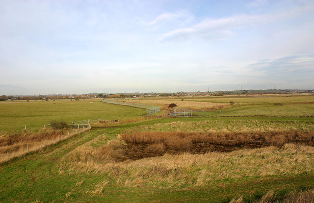
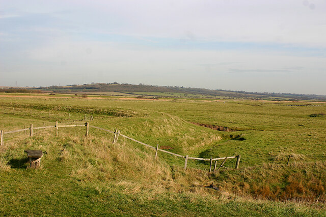
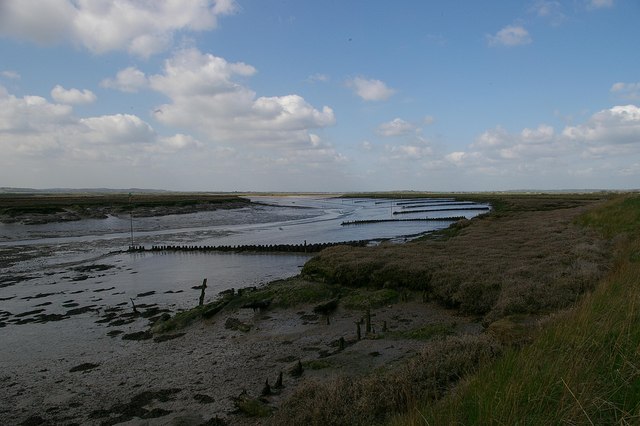
Spanning a length of approximately 5 kilometers, Bridgemarsh Creek serves as an estuary, connecting the St. Lawrence Bay to the North Sea. The surrounding landscape is characterized by marshes, salt flats, and mudflats, creating a unique ecosystem that supports a diverse range of plant and animal species.
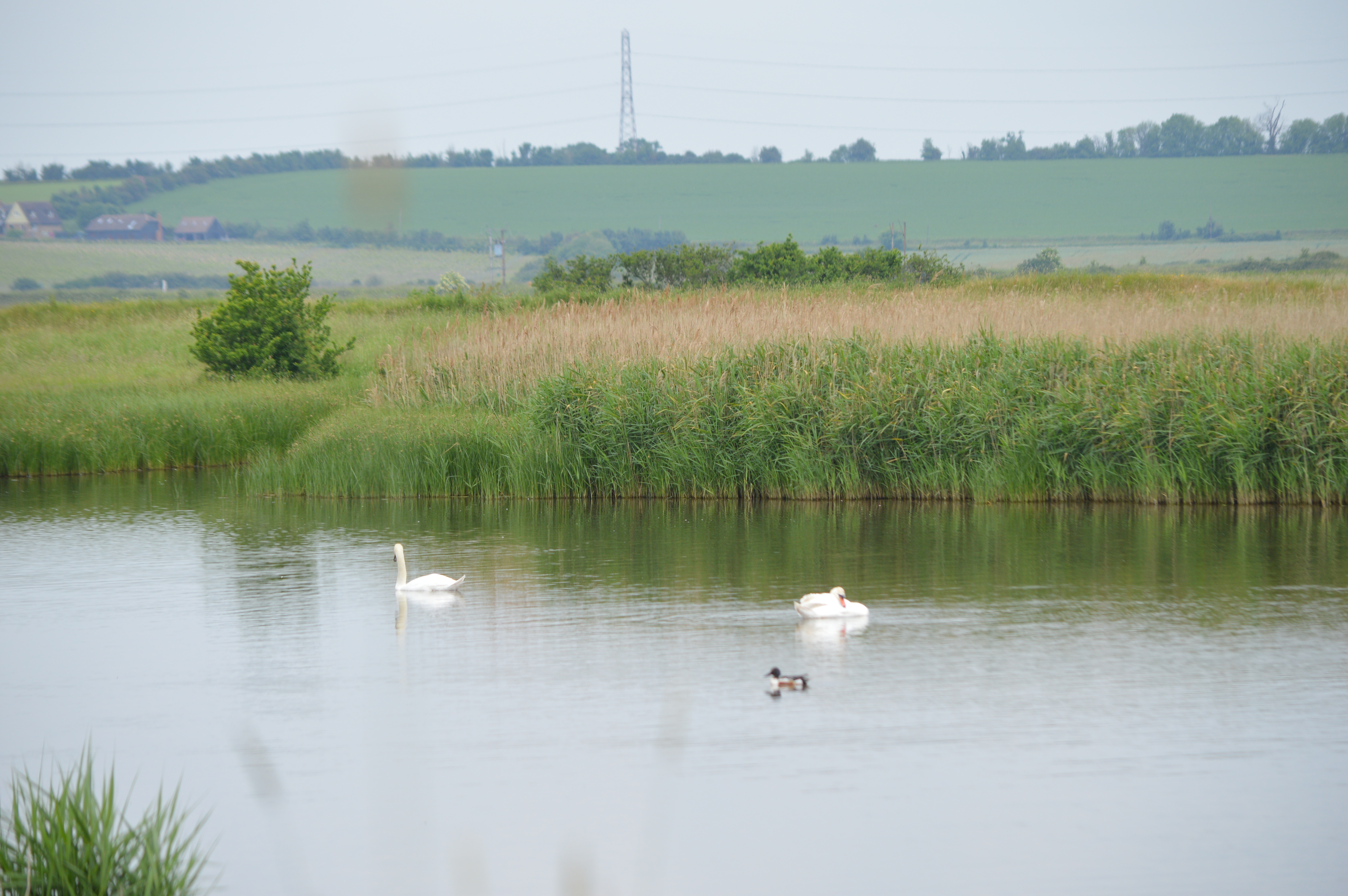
The creek boasts stunning vistas, with its calm waters reflecting the changing colors of the sky and the beautiful surrounding countryside. It is a popular spot for nature enthusiasts, birdwatchers, and photographers who come to observe the abundant wildlife that calls Bridgemarsh Creek home.
The creek is a haven for numerous bird species, including waders, ducks, and geese. During the winter months, it becomes an important feeding ground for migrating birds, attracting thousands of them to its shores. The creek's mudflats and salt marshes also provide a rich feeding ground for various marine creatures, such as crabs, shrimps, and small fish.
Bridgemarsh Creek is not only a place of natural beauty but also holds historical significance. The area has been inhabited for centuries, and archaeological remains have been discovered along its banks, including evidence of Roman and Saxon settlements.
Overall, Bridgemarsh Creek is a captivating natural landscape that offers visitors a chance to immerse themselves in the beauty of the Essex coast while exploring its rich ecological and historical heritage.
If you have any feedback on the listing, please let us know in the comments section below.
Bridgemarsh Creek Images
Images are sourced within 2km of 51.640319/0.71286925 or Grid Reference TQ8796. Thanks to Geograph Open Source API. All images are credited.


Bridgemarsh Creek is located at Grid Ref: TQ8796 (Lat: 51.640319, Lng: 0.71286925)
Administrative County: Essex
District: Maldon
Police Authority: Essex
What 3 Words
///testy.brisk.pump. Near Canewdon, Essex
Nearby Locations
Related Wikis
Crouch and Roach Estuaries
The Crouch and Roach Estuaries are a 1729 hectare biological Site of Special Scientific Interest (SSSI) at the mouth of the Crouch and Roach rivers in...
Bridgemarsh Island
Bridgemarsh Island is in the tidal part of the River Crouch in the English county of Essex, three miles upstream from Burnham-on-Crouch. The main river...
Blue House Farm
Blue House Farm is a 242.8-hectare (600-acre) nature reserve and farm in North Fambridge, on the north bank of the River Crouch between Burnham-on-Crouch...
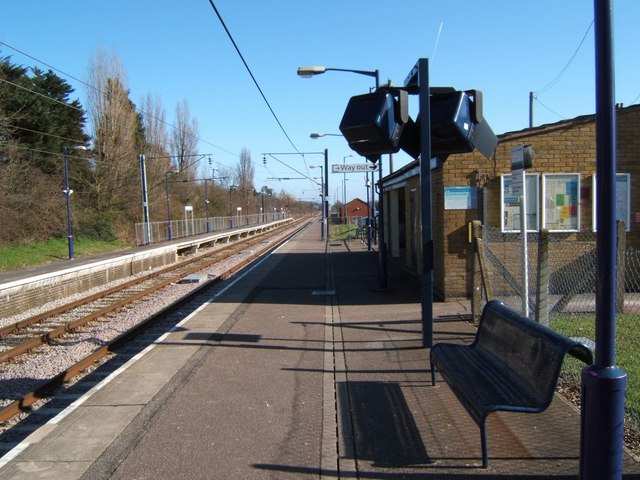
North Fambridge railway station
North Fambridge railway station is on the Crouch Valley Line in the East of England, serving the village of North Fambridge, Essex. It is 37 miles 27 chains...

South Fambridge
South Fambridge is a village and former civil parish, now in the parish of Ashingdon, in the Rochford district, in the county of Essex, England. It is...

North Fambridge
North Fambridge is a village and civil parish on the Dengie peninsula in the English county of Essex. North Fambridge is on the north bank of the River...

7th Cruiser Squadron
The 7th Cruiser Squadron (also known as Cruiser Force C) was a blockading force of the Royal Navy during the First World War used to close the English...
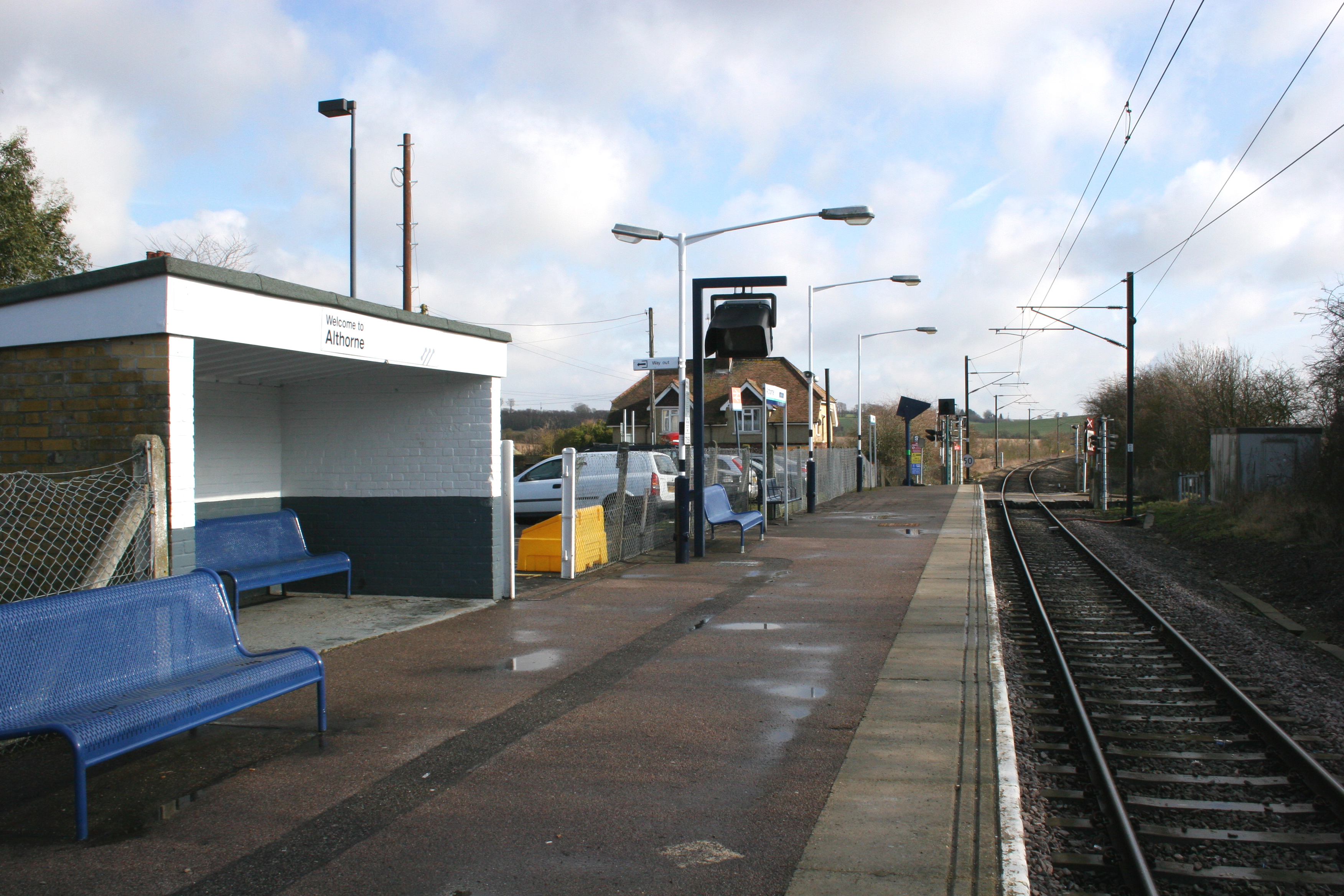
Althorne railway station
Althorne railway station is on the Crouch Valley Line in the East of England, serving the village of Althorne, Essex. It is 40 miles 27 chains (64.92 km...
Nearby Amenities
Located within 500m of 51.640319,0.71286925Have you been to Bridgemarsh Creek?
Leave your review of Bridgemarsh Creek below (or comments, questions and feedback).