Parting Gut
Sea, Estuary, Creek in Essex
England
Parting Gut
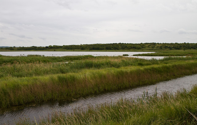
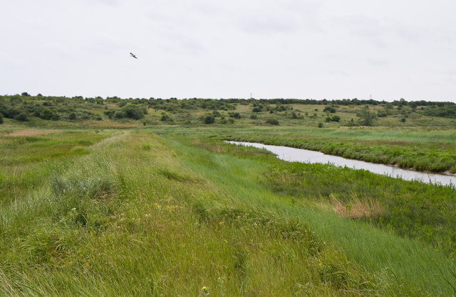
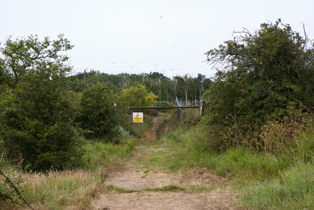
Parting Gut is a prominent geographic feature located in Essex, England. It encompasses a sea, estuary, and creek, making it a diverse and significant area of natural beauty. Situated along the eastern coastline of England, Parting Gut is known for its scenic landscapes, diverse wildlife, and rich history.
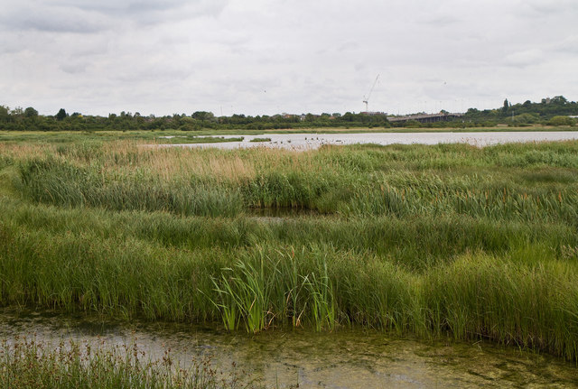
The sea in Parting Gut offers breathtaking views and a tranquil environment, attracting visitors from near and far. Its pristine beaches provide a perfect spot for sunbathing, swimming, and various water sports activities. The sea is also home to a wide range of marine life, including seals, dolphins, and various species of fish.
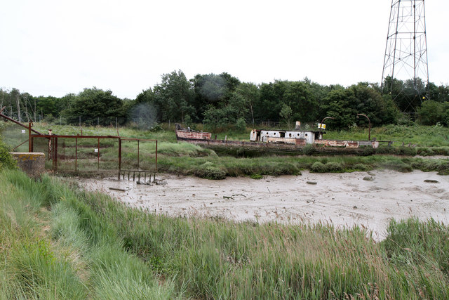
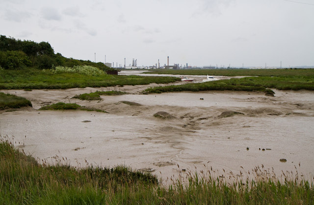
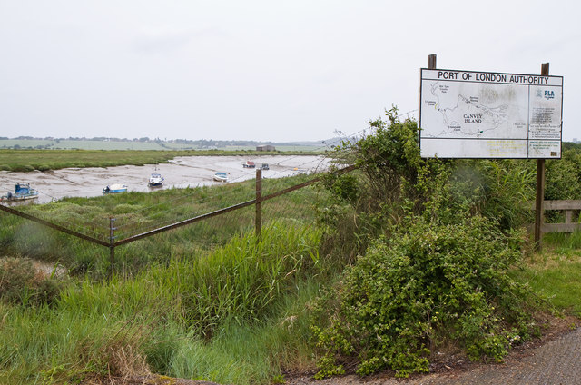
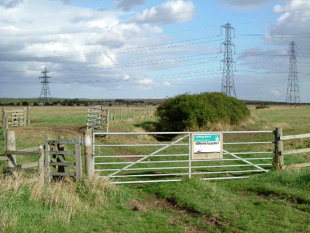
Adjacent to the sea is the estuary, a partially enclosed body of water where the river meets the sea. The estuary in Parting Gut is a vital ecosystem, serving as a habitat for numerous bird species and providing a breeding ground for various marine creatures. Birdwatchers flock to this area to observe the diverse birdlife, which includes waders, ducks, and gulls.
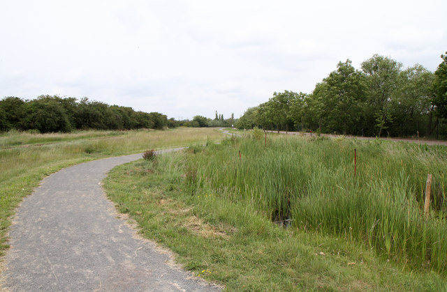
The creek within Parting Gut is a narrow waterway that winds through the surrounding marshes and mudflats. It offers a picturesque setting for boating enthusiasts and nature lovers alike. The creek is navigable during high tide, allowing for exploration of the surrounding wetlands, where one can encounter various plant species and observe the unique ecosystem that thrives there.
Overall, Parting Gut, Essex, with its combination of sea, estuary, and creek, offers a diverse range of natural features and recreational opportunities. Its spectacular scenery, abundant wildlife, and historical significance make it a cherished destination for both locals and tourists alike.
If you have any feedback on the listing, please let us know in the comments section below.
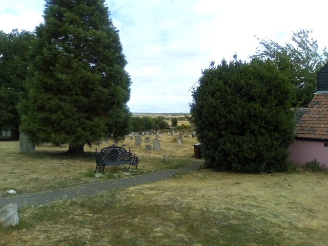
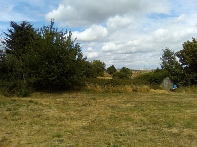
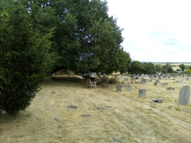
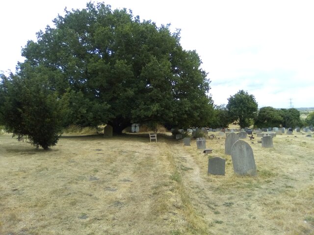
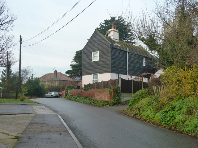
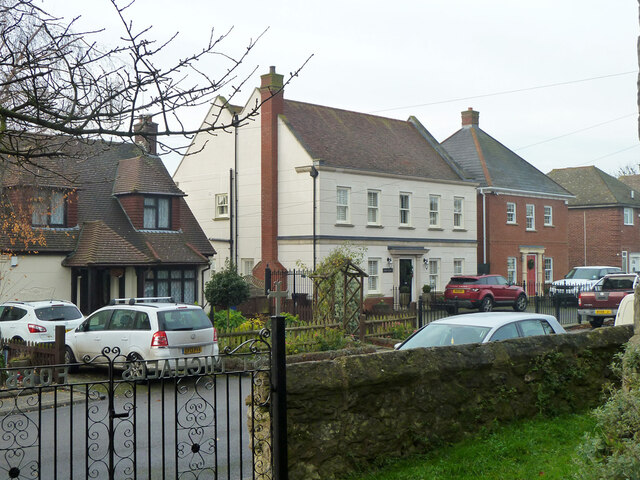
Parting Gut Images
Images are sourced within 2km of 51.53826/0.49747847 or Grid Reference TQ7385. Thanks to Geograph Open Source API. All images are credited.


Parting Gut is located at Grid Ref: TQ7385 (Lat: 51.53826, Lng: 0.49747847)
Unitary Authority: Thurrock
Police Authority: Essex
What 3 Words
///export.hobby.zoom. Near Pitsea, Essex
Nearby Locations
Related Wikis
Fobbing Marsh
Fobbing Marsh is a 75.7-hectare (187-acre) nature reserve east of Fobbing in Essex. It is managed by the Essex Wildlife Trust.The site is mainly grazing...

South Basildon and East Thurrock (UK Parliament constituency)
South Basildon and East Thurrock is a constituency represented in the House of Commons of the UK Parliament since its 2010 creation by Stephen Metcalfe...

Vange and Fobbing Marshes
Vange and Fobbing Marshes are a 164.6-hectare (407-acre) biological Site of Special Scientific Interest in two areas south of Basildon in Essex. Vange...
Wat Tyler Country Park
Wat Tyler Country Park is a country park located to the south of Pitsea, Essex within the area of Pitsea Marsh. The area was inhabited from the Bronze...
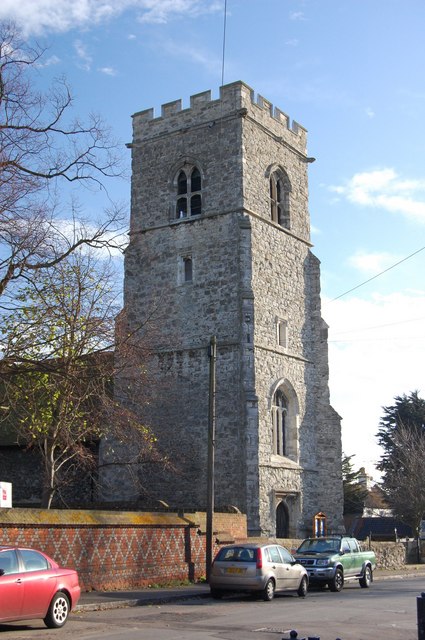
Fobbing
Fobbing is a small village and former civil parish in Thurrock, Essex, England, and one of Thurrock's traditional (Church of England) parishes. It is between...

Pitsea Marsh
Pitsea Marsh is a 94.6-hectare (234-acre) Site of Special Scientific Interest in Pitsea in Essex. The southern half is the Wat Tyler Country Park, and...

Pitsea waste management site
Pitsea waste management site is a large landfill site on the north side of the Thames estuary 0.7 miles (1.1 km) from Pitsea in Basildon, Essex. It is...
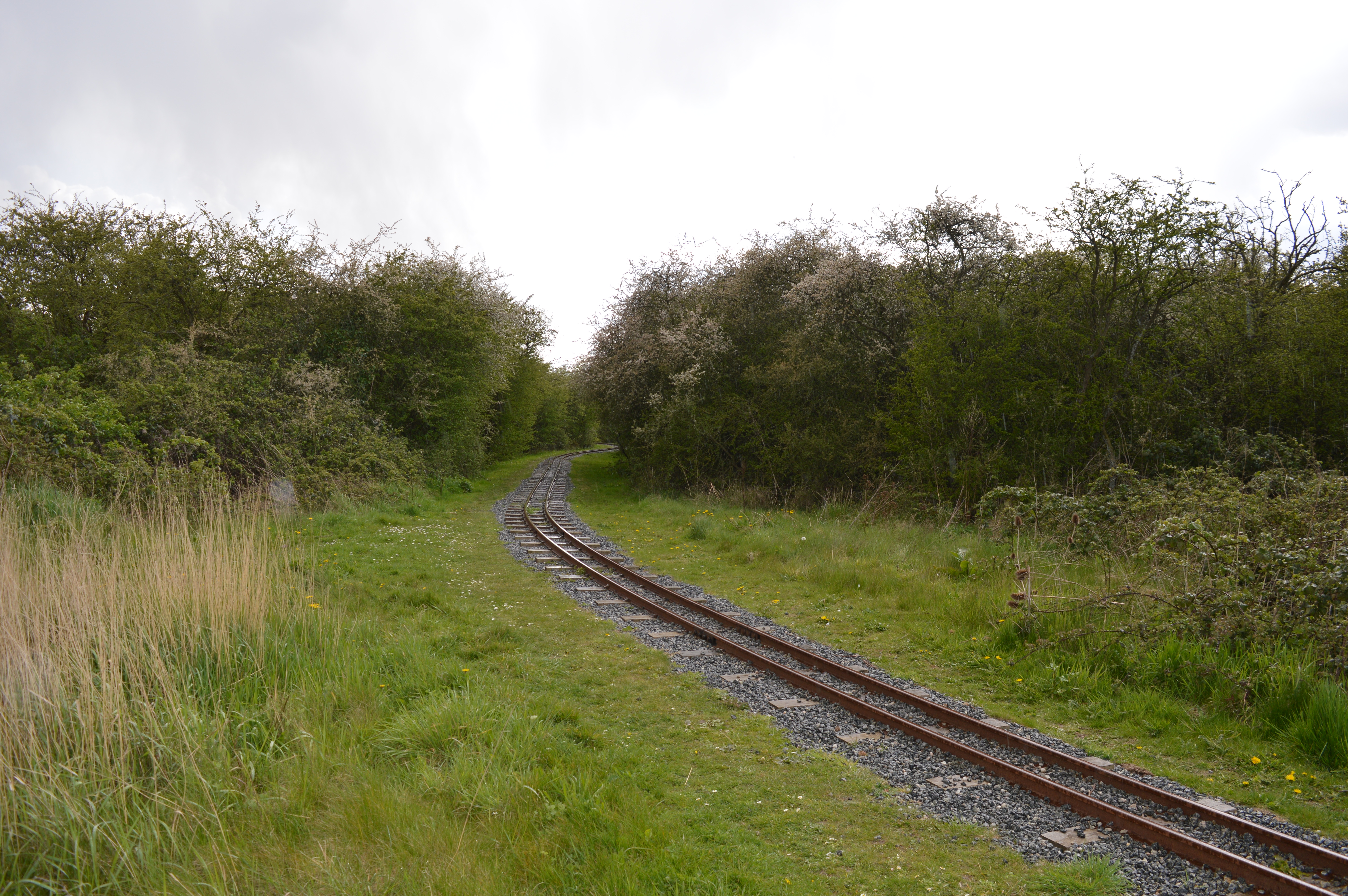
Corringham railway station
Corringham railway station served the villages of Corringham and Fobbing in Essex, England, between 1901 and 1952. == History == The station was the terminus...
Nearby Amenities
Located within 500m of 51.53826,0.49747847Have you been to Parting Gut?
Leave your review of Parting Gut below (or comments, questions and feedback).