Freeman Channel
Sea, Estuary, Creek in Lincolnshire
England
Freeman Channel

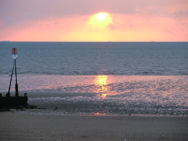
Freeman Channel is a prominent geographical feature located in Lincolnshire, England. It is a waterway that encompasses various natural elements including the sea, estuary, and creek. The channel stretches along the eastern coast of England, running parallel to the North Sea.
As its name suggests, Freeman Channel primarily functions as a water passage connecting the sea to the land. It serves as an estuary for the River Witham, which flows into the North Sea through this channel. The estuarine nature of the Freeman Channel is evident in its tidal patterns, as the water level fluctuates with the ebb and flow of the tides.
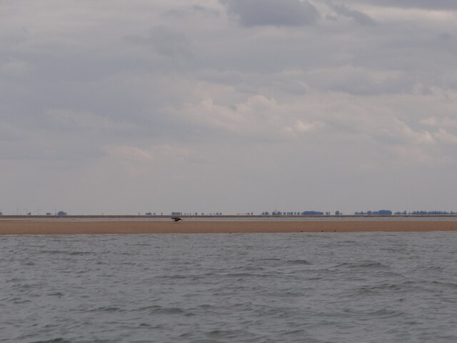
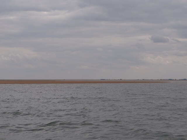
The channel is characterized by its intricate network of creeks, which meander through the surrounding marshlands. These creeks provide habitats for a diverse range of flora and fauna, making the area a haven for wildlife enthusiasts and nature lovers. The marshes surrounding Freeman Channel are home to various bird species, including waders, ducks, and geese, attracting birdwatchers from near and far.
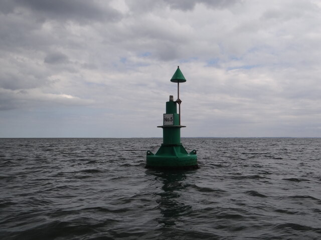
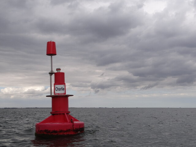
The Freeman Channel also serves as an important shipping route, facilitating trade and transportation in the region. It is utilized by commercial vessels, fishing boats, and pleasure crafts, contributing to the economic activity and tourism in the area.
Overall, Freeman Channel is a significant waterway in Lincolnshire, offering a unique blend of sea, estuary, and creek environments. Its natural beauty, diverse wildlife, and economic importance make it a notable feature of the region, attracting visitors and serving as a vital resource for both nature and commerce.
If you have any feedback on the listing, please let us know in the comments section below.
Freeman Channel Images
Images are sourced within 2km of 52.971671/0.22134131 or Grid Reference TF4943. Thanks to Geograph Open Source API. All images are credited.


Freeman Channel is located at Grid Ref: TF4943 (Lat: 52.971671, Lng: 0.22134131)
Administrative County: Lincolnshire
Police Authority: Lincolnshire
What 3 Words
///firming.startles.petition. Near Butterwick, Lincolnshire
Nearby Locations
Related Wikis
The Wash
The Wash is a rectangular bay and multiple estuary at the north-west corner of East Anglia on the East coast of England, where Norfolk meets Lincolnshire...
Benington Sea End
Benington Sea End is a hamlet in the Benington civil parish of the Borough of Boston in Lincolnshire, England. It is 5 miles (8 km) east-northeast from...

Freiston Shore
Freiston Shore is a settlement in the Borough of Boston, in Lincolnshire, England. It is in the civil parish of Freiston, and approximately 4 miles (6...

Wrangle, Lincolnshire
Wrangle is a village in the Boston Borough of Lincolnshire, England. It is situated approximately 9 miles (14 km) north-east from the town of Boston. The...
Nearby Amenities
Located within 500m of 52.971671,0.22134131Have you been to Freeman Channel?
Leave your review of Freeman Channel below (or comments, questions and feedback).